Plizio Visual Lab
Mont Paradis
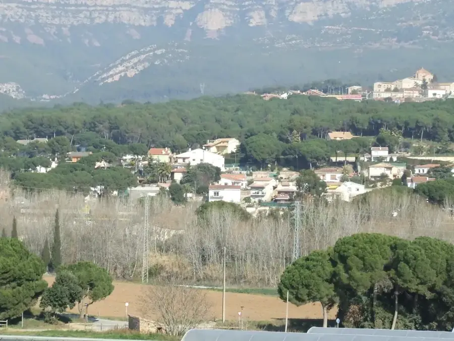
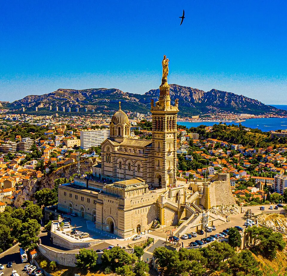
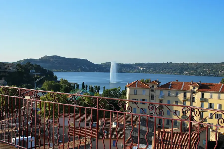
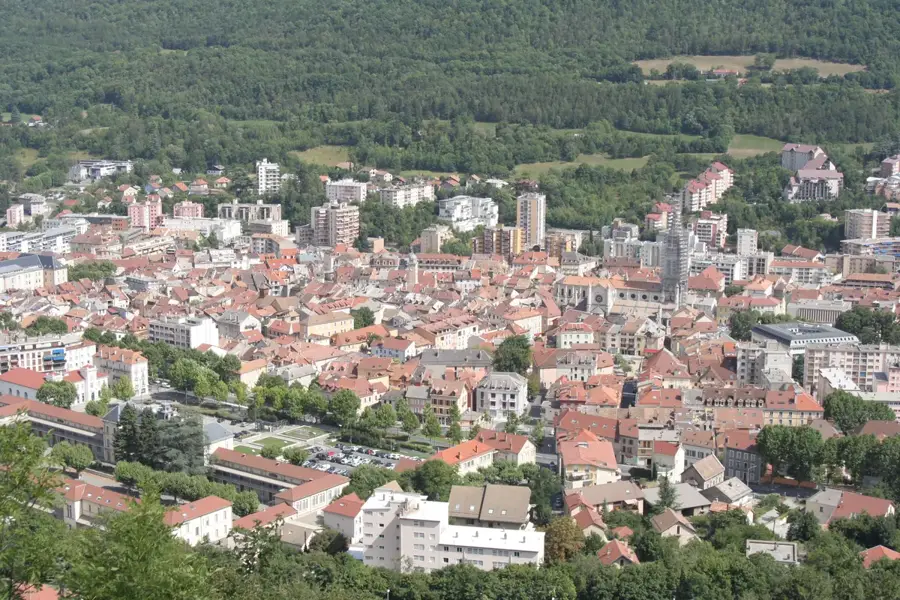
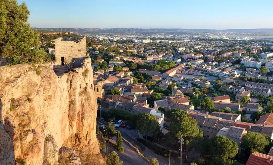
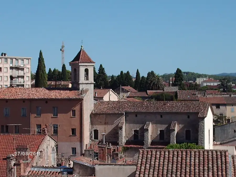
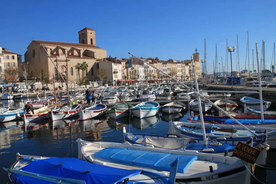
Mont Paradis is an elevation in the Var department, belonging to the Monts Toulonnais coastal range that overlooks the city of Toulon from the north. Despite its modest height of 299 meters, the relief features prominent limestone cliffs that are characteristic of Provençal geology. The vegetation consists primarily of garrigue and pine forests, well-adapted to the dry Mediterranean summers. Historically, the hill played a vital role in monitoring the coast and the military port of Toulon, which is why several fortifications are located in its vicinity. Hiking trails on Mont Paradis are very popular due to their moderate incline and the spectacular panoramic views of the Toulon roadstead and the Saint-Mandrier peninsula. Geomorphologically, the hill displays typical karst features with fissures and sharp rock formations shaped by millennia of erosion. Despite its low elevation, it serves as an important local recreational area and a symbol of the connection between the sea and the mountains of Provence.
- Location: Provence-Alpes-Côte d'Azur, France
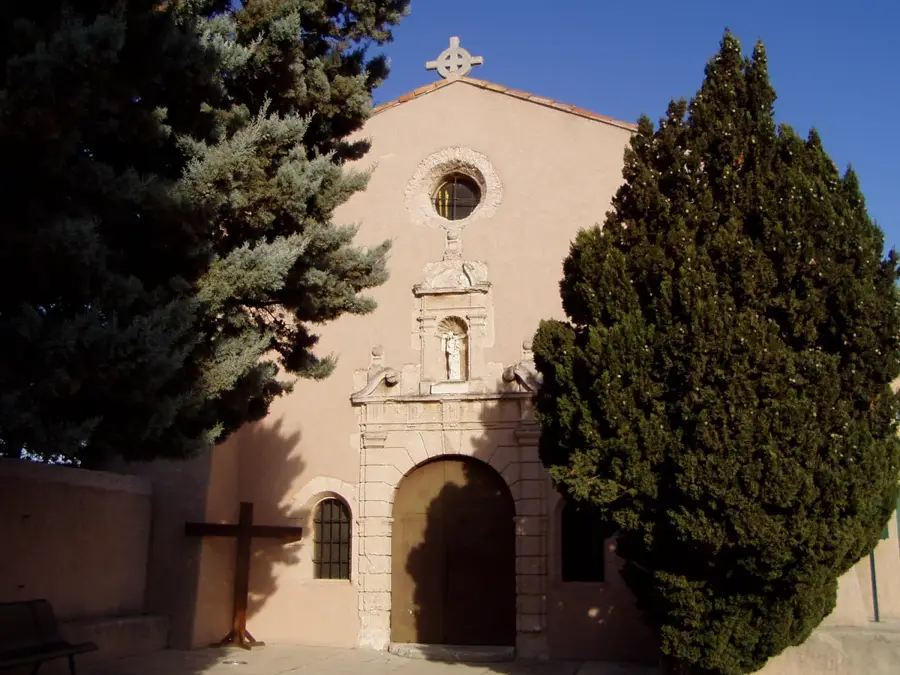
- Top sights: Plan d'eau du Pas des Ondes · Les Aiguilles · Le Château de Cornillon
- Nearby: Nyons (23 km)
Best time to visit & climate
The most pleasant time to visit is Jun–Aug.
| Jan | Feb | Mar | Apr | May | Jun | Jul | Aug | Sep | Oct | Nov | Dec | |
|---|---|---|---|---|---|---|---|---|---|---|---|---|
| Avg °C | 0 | 1 | 4 | 8 | 12 | 17 | 20 | 20 | 15 | 11 | 5 | 1 |
| Rain mm | 50 | 43 | 51 | 57 | 70 | 49 | 36 | 42 | 59 | 80 | 96 | 60 |
📋 Practical info
Geography
Facts
- Elevation is 299 meters above sea level
- Composed primarily of Jurassic limestone
- Offers views of the Toulon roadstead
- Flora is characterized by Mediterranean garrigue
- Several military forts are located nearby
- Popular destination for hiking and trail running
Explore nearby
Notable places around
Route planner — Car & Motorhome
Where do you start? We build the route here, with stops and country notes along the way.
© OpenStreetMap contributors · OpenRouteService
Sights in the town Mont Paradis (7)
Sights nearby
Frequently asked questions
Where is Mont Paradis located?
What can you see from the summit?
Is the ascent difficult?
Are there parking spots available?
When is the best time to visit?
Mont Paradis: where is it located?
Mont Paradis: what is there to see?
Mont Paradis: when is the best time to visit?
Mont Paradis: why is it worth visiting?

Nearby cities