Plizio Visual Lab
Mont Ventoux
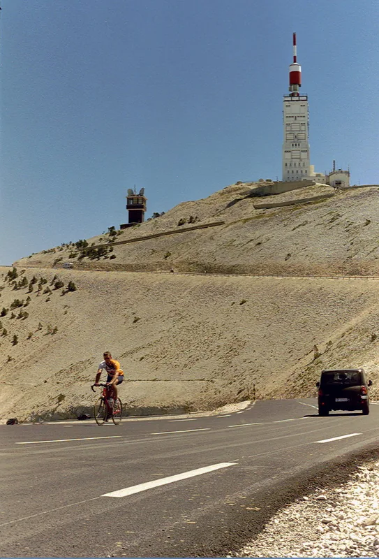
Mont Ventoux, often called the "Giant of Provence," is a prominent limestone peak in the Vaucluse department, reaching an elevation of 1,912 meters. Geographically isolated, it dominates the Provençal landscape, with its bare white summit appearing snow-capped throughout the year. Its name is likely derived from the Occitan word for windy, as Mistral winds exceeding 300 km/h have been recorded at the summit. Historically, the mountain gained fame following Petrarch's ascent in 1336, an event often cited as the birth of modern mountaineering. Today, Mont Ventoux is most famous as one of the most legendary and feared stages of the Tour de France. The ecological significance of the mountain is immense; it hosts an extraordinary range of flora and fauna, transitioning from Mediterranean species at the base to alpine species at the summit. Due to this biological diversity, UNESCO designated the massif as a Biosphere Reserve in 1990. The road to the summit remains a site of pilgrimage for cyclists from all over the world.
- Location: Provence-Alpes-Côte d'Azur, France
- Top sights: Réserve biologique intégrale du Mont Ventoux · Mont Ventoux · Belvédère des Alpes
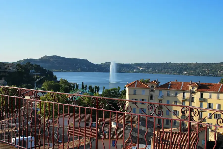
- Nearby: Mazan (18 km)
Best time to visit & climate
The most pleasant time to visit is Jun–Aug.
| Jan | Feb | Mar | Apr | May | Jun | Jul | Aug | Sep | Oct | Nov | Dec | |
|---|---|---|---|---|---|---|---|---|---|---|---|---|
| Avg °C | 2 | 3 | 6 | 10 | 14 | 20 | 23 | 22 | 17 | 13 | 7 | 3 |
| Rain mm | 47 | 40 | 45 | 54 | 60 | 41 | 24 | 31 | 56 | 79 | 98 | 57 |
📋 Practical info
Geography
Facts
- The summit elevation of Mont Ventoux is 1,912 meters.
- The mountain was designated a UNESCO Biosphere Reserve in 1990.
- Wind speeds at the summit can exceed 300 km/h.
- Petrarch climbed the summit on April 26, 1336.
- The white summit consists of bare limestone scree.
- The Tour de France first included the mountain in 1951.
Explore nearby
Notable places around
Route planner — Car & Motorhome
Where do you start? We build the route here, with stops and country notes along the way.
© OpenStreetMap contributors · OpenRouteService
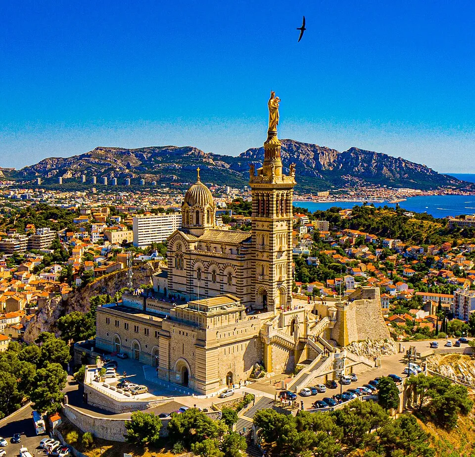
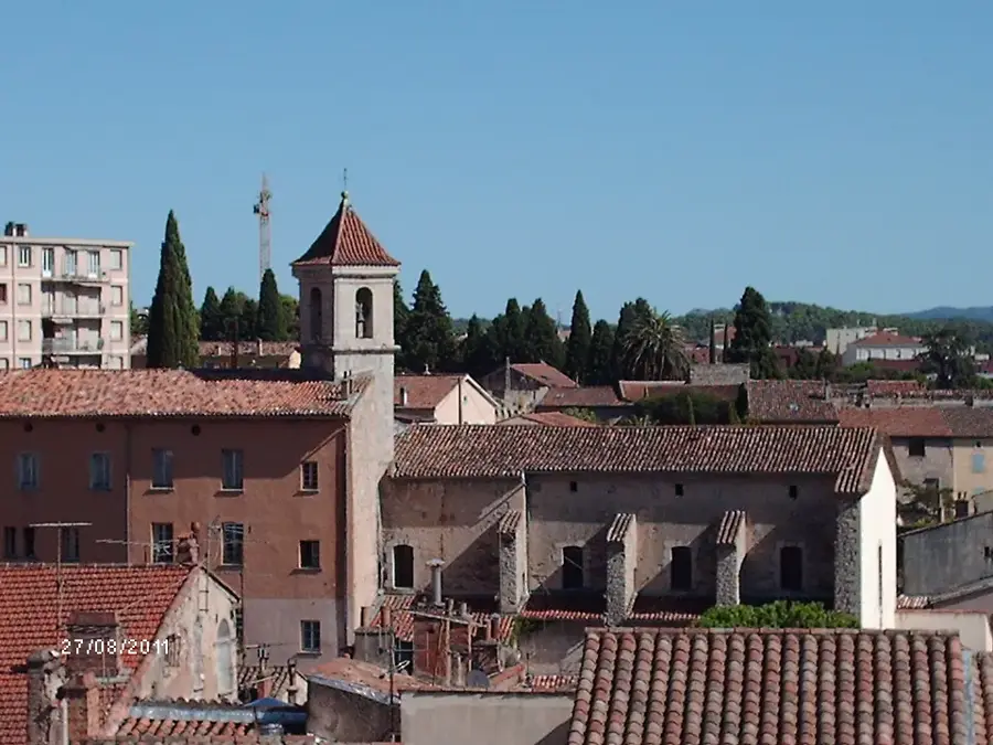
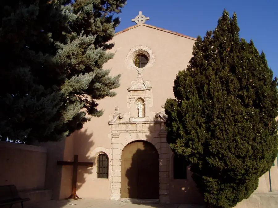
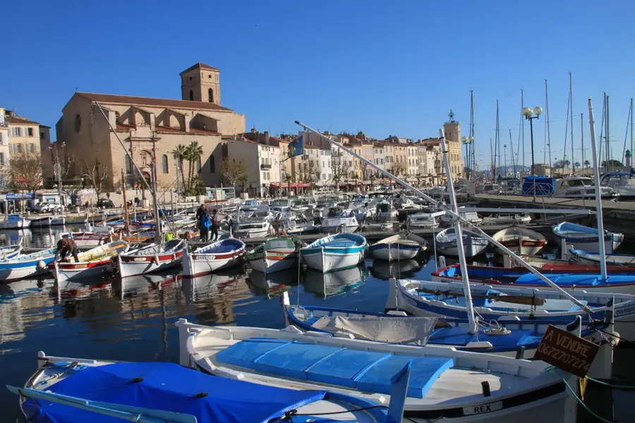
Sights in the town Mont Ventoux (4)
Sights nearby
Frequently asked questions
Why does the summit look white?
Can you drive to the summit?
How windy is it up there?
Is the mountain suitable for cyclists?
What is the best time to visit?
Mont Ventoux: where is it located?
Mont Ventoux: what is there to see?
Mont Ventoux: when is the best time to visit?
Mont Ventoux: why is it worth visiting?

Nearby cities