Plizio Visual Lab
Gervanne Plateau
Weather…
Water temperature…
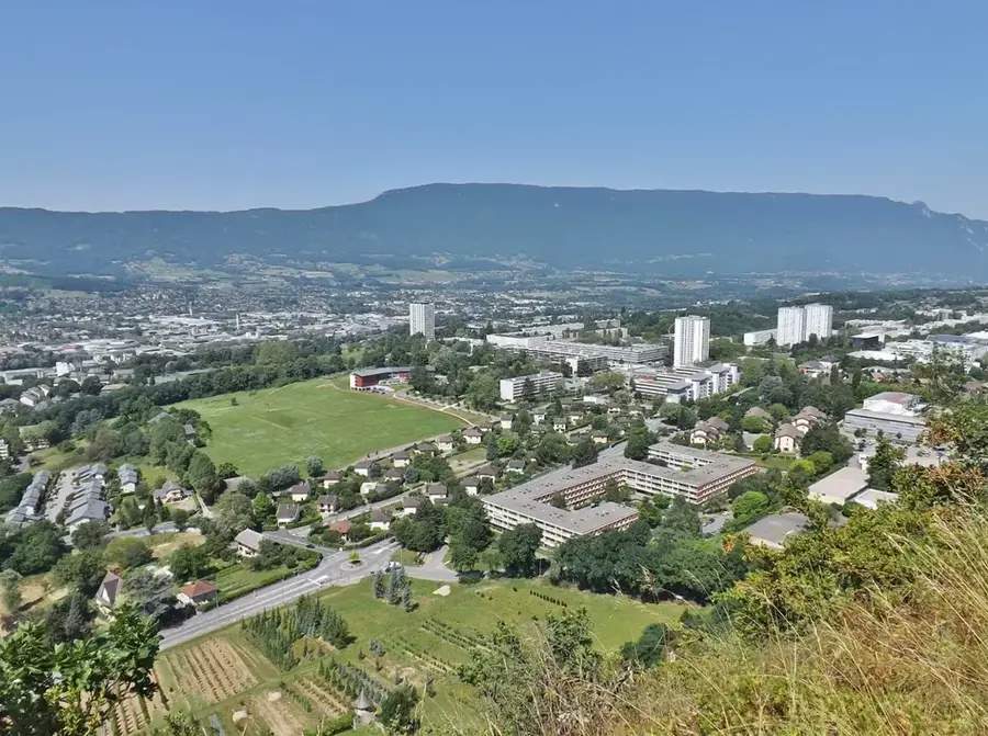
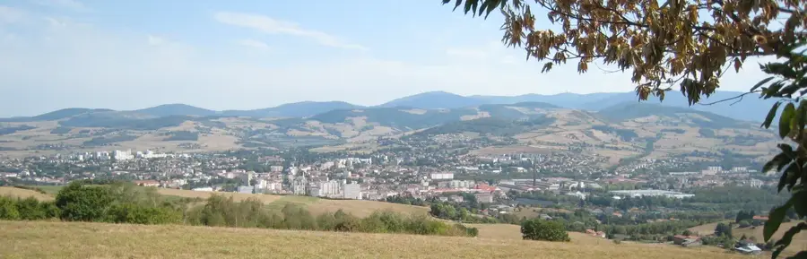
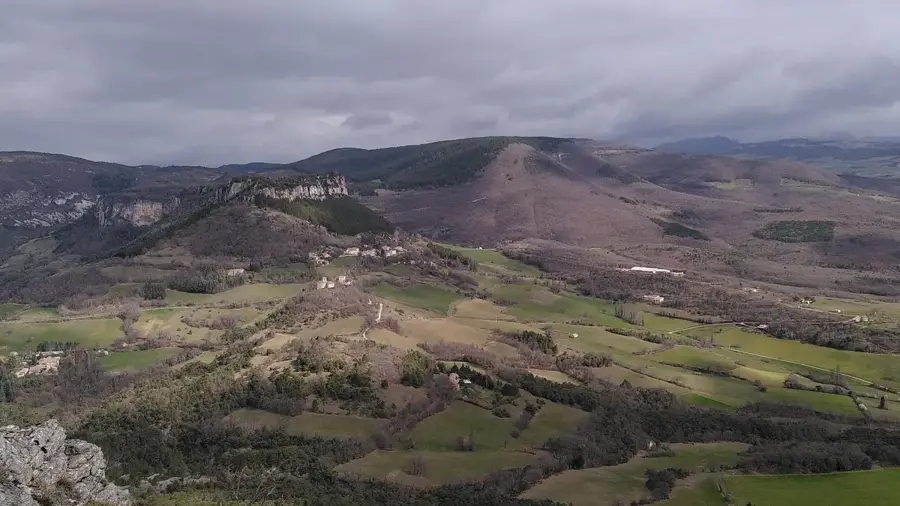
The Gervanne Plateau is a significant karst landscape in the Drôme department, marking the southern reaches of the Vercors Massif. This high plateau is characterized by extensive limestone formations that create a rugged and water-scarce surface, as precipitation immediately infiltrates the underground drainage systems. Geologically, the plateau is closely linked to the folding of the Alps and displays impressive erosional features such as caves, fissures, and sinkholes. The edges of the plateau often drop steeply into the valleys of the Gervanne and Drôme rivers, providing dramatic vistas of the surrounding region. Historically, the plateau's inaccessibility made it a strategic hideout, notably for the French Resistance during World War II. Today, the area is used for extensive agriculture, primarily sheep farming and lavender cultivation, which gives the relief a characteristic appearance in summer. Hikers value the plateau for its solitude and pristine nature, situated far from major tourist hubs.
- Location: Auvergne-Rhône-Alpes, France
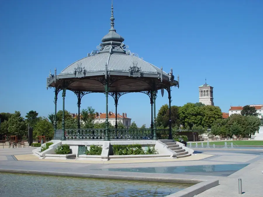
- Top sights: Chapelle Saint-Pancrace · Église Saint-Pierre · Château de Suze
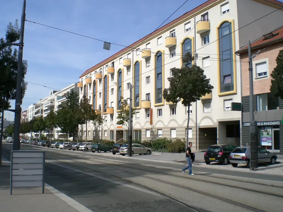
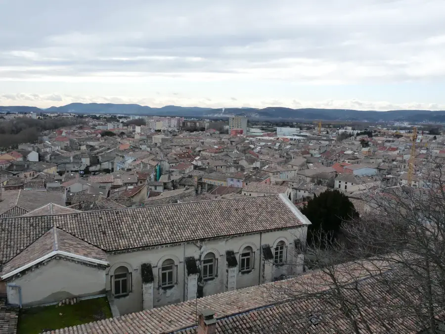
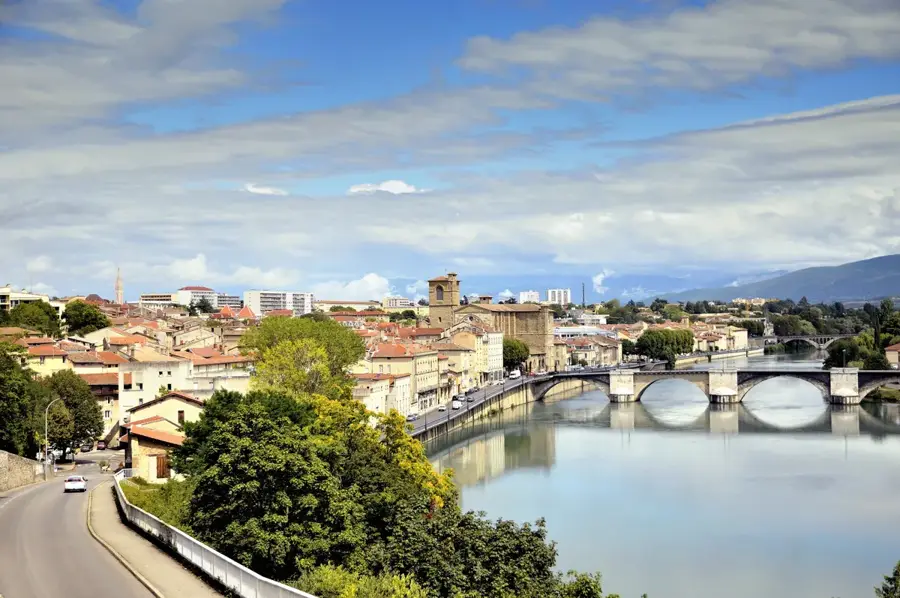
- Nearby: Crest (8 km)
Best time to visit & climate
The most pleasant time to visit is Jun–Aug.
| Jan | Feb | Mar | Apr | May | Jun | Jul | Aug | Sep | Oct | Nov | Dec | |
|---|---|---|---|---|---|---|---|---|---|---|---|---|
| Avg °C | 2 | 3 | 7 | 11 | 15 | 19 | 22 | 21 | 17 | 12 | 7 | 3 |
| Rain mm | 54 | 46 | 53 | 62 | 78 | 57 | 54 | 56 | 69 | 92 | 101 | 60 |
📋 Practical info
Geography
Facts
- Average elevation ranges between 600 and 900 meters
- Limestone bedrock dates back to the Jurassic period
- Key area for lavender cultivation in the Drôme department
- The region played a role in the Maquis du Vercors resistance
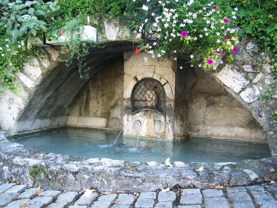
- Contains numerous underground cave systems
- Is part of the Vercors Regional Natural Park
Explore nearby
Notable places around
Route planner — Car & Motorhome
Where do you start? We build the route here, with stops and country notes along the way.
© OpenStreetMap contributors · OpenRouteService
Sights in the town Gervanne Plateau (5)
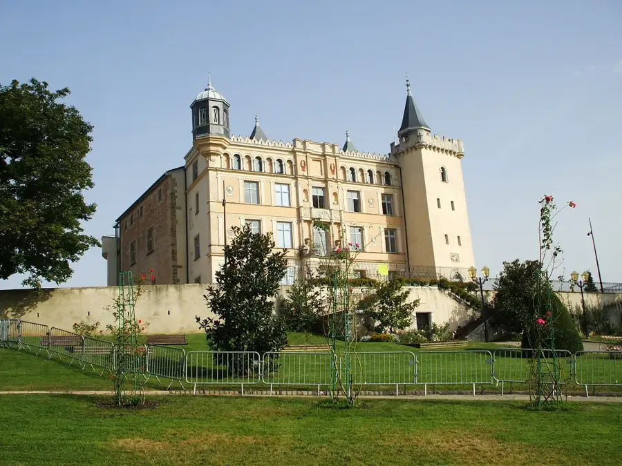
Les Châteaux
Remains of two castles on a ridge in the Gervanne valley.
Sights nearby
Frequently asked questions
What is the Plateau de la Gervanne?
What is the climate there?
What products are typical of the region?
Are there rivers on the plateau?
When is the best time to visit?
Gervanne Plateau: where is it located?
Gervanne Plateau: what is there to see?
Gervanne Plateau: when is the best time to visit?
Gervanne Plateau: why is it worth visiting?

Nearby cities