Plizio Visual Lab
Mont Gervanne
Weather…
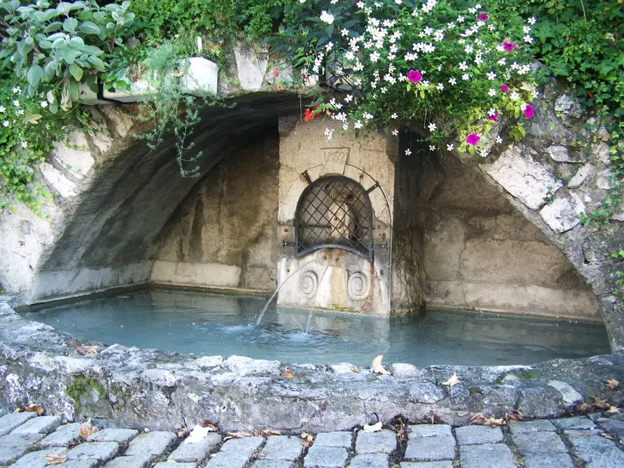
Water temperature…
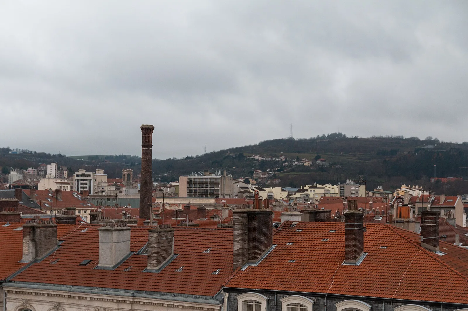
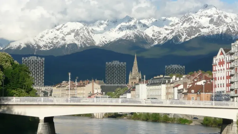
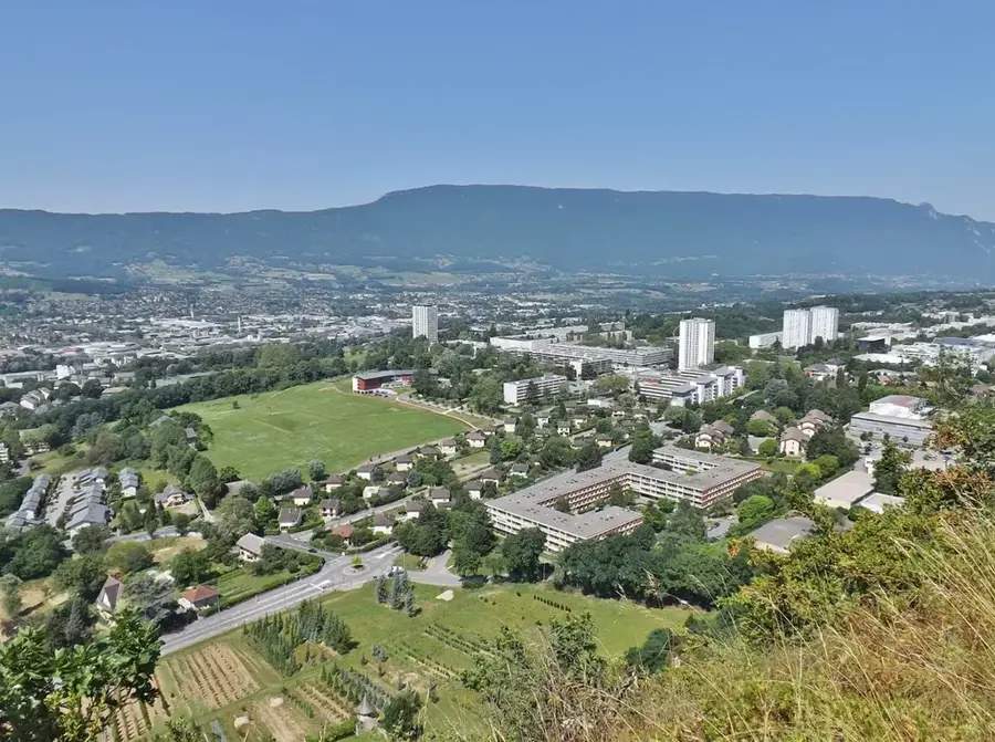
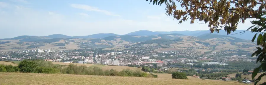
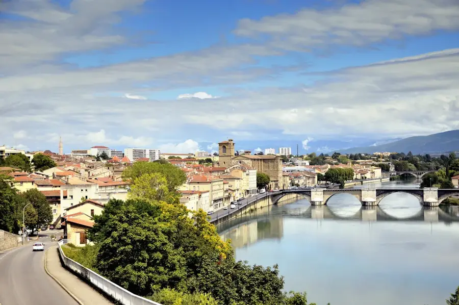
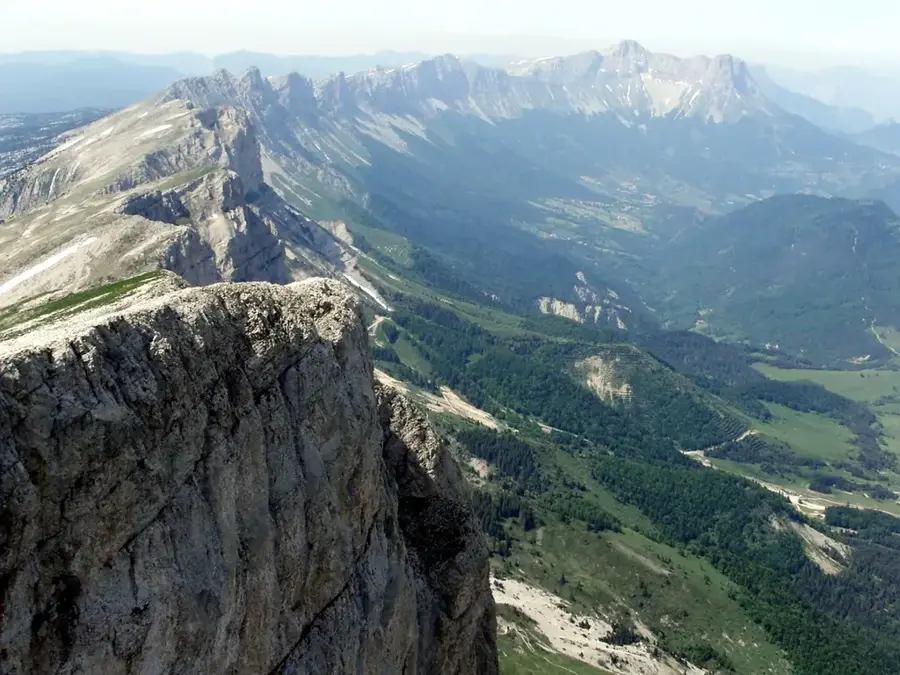
Mont Gervanne and the surrounding relief in the Drôme department form a distinct transition zone between the Pre-Alps and the Rhône Valley. The landscape is characterized by deeply incised valleys and forested ridges that geologically belong to the Vercors Regional Natural Park. This region is defined by limestone formations shaped by erosion over millions of years, resulting in a diverse topography of cliffs and plateaus. The Gervanne River has carved deep into the rock, creating spectacular gorges and fertile alluvial plains at the base of the slopes. Historically, the strategic position of the relief provided a natural defensive line and created isolated habitats for specific flora and fauna. Today, the area is primarily significant for ecological tourism and the study of regional geomorphology, with the preservation of natural water resources playing a central role in environmental management.
- Location: Auvergne-Rhône-Alpes, France
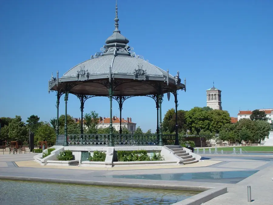
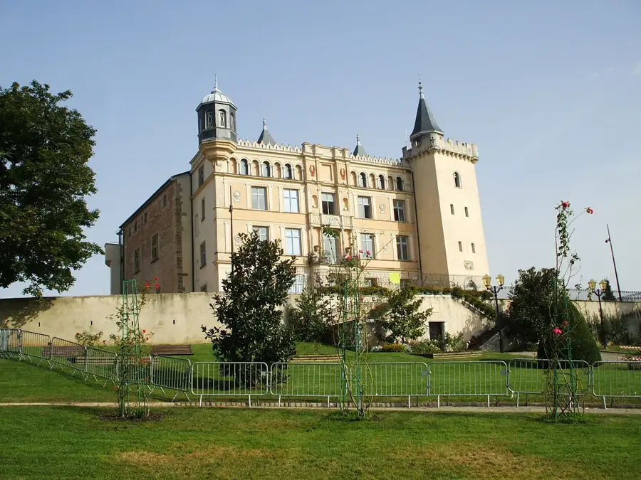
- Top sights: Château de Vachères · Badestelle · Maison de la Résistance Mathias Mathieu
- Nearby: Crest (11 km)
Best time to visit & climate
The most pleasant time to visit is Jun–Aug.
| Jan | Feb | Mar | Apr | May | Jun | Jul | Aug | Sep | Oct | Nov | Dec | |
|---|---|---|---|---|---|---|---|---|---|---|---|---|
| Avg °C | 2 | 3 | 7 | 11 | 15 | 19 | 22 | 21 | 17 | 12 | 7 | 3 |
| Rain mm | 54 | 46 | 53 | 62 | 78 | 57 | 54 | 56 | 69 | 92 | 101 | 60 |
📋 Practical info
Geography
Facts
- Part of the Vercors Regional Natural Park in southeastern France
- Highest elevations reach over 1,000 meters above sea level
- The rock composition is primarily Cretaceous limestone
- The Gervanne River joins the Drôme after approximately 30 kilometers
- The region is famous for the 'Gorges de la Gervanne' canyons
- Climate is a mixture of Alpine and Mediterranean influences
Explore nearby
Notable places around
Route planner — Car & Motorhome
Where do you start? We build the route here, with stops and country notes along the way.
© OpenStreetMap contributors · OpenRouteService
Sights in the town Mont Gervanne (6)
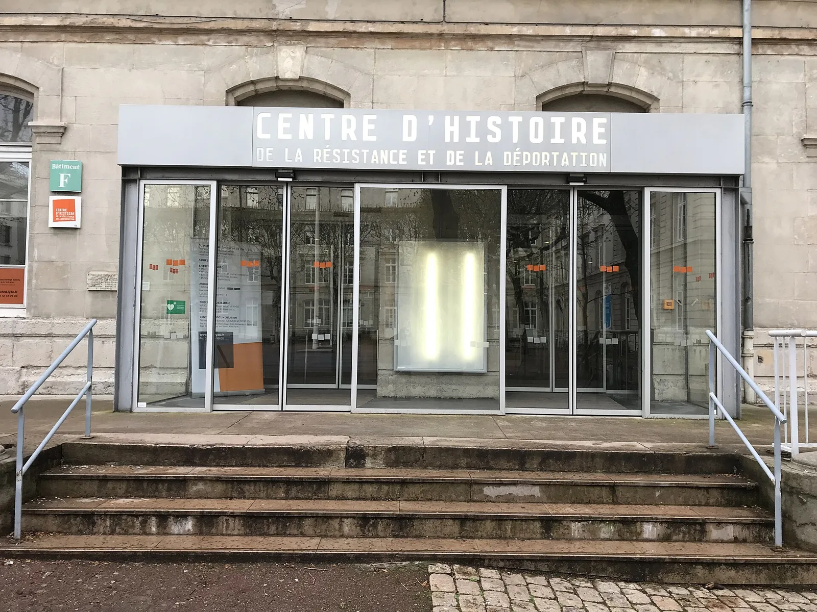
Maison de la Résistance Mathias Mathieu🏛 museum
A museum dedicated to the local history of the French Resistance.
Sights nearby
Frequently asked questions
Where is Mont Gervanne located?
What is special about this region?
What famous natural site is nearby?
Are there good hiking trails?
What can you visit in the surroundings?
Mont Gervanne: where is it located?
Mont Gervanne: what is there to see?
Mont Gervanne: when is the best time to visit?
Mont Gervanne: why is it worth visiting?

Nearby cities