Plizio Visual Lab
Montségur
Montségur, perched on a steep rocky outcrop in the Pyrenees, is inseparably linked to the tragic fate of the Cathars. The current castle ruins stand on the site of an older fortress that was the stage for one of the most dramatic sieges of the Middle Ages in 1243-1244 during the Albigensian Crusade. For over ten months, about 400 people resisted a massive royal army before finally being forced to surrender. On March 16, 1244, more than 200 Cathars refused to renounce their faith and were burned alive at the foot of the mountain on the Prats dels Cremats (Field of the Burned). This event marked the end of organized Catharism in Occitania. The strategic location at an altitude of 1,207 meters provided not only an impregnable defensive position but also astronomical significance, as the castle aligns with the rising sun during the summer solstice. Numerous myths surround an alleged Cathar treasure or the Holy Grail, rumored to have been hidden here. Today, Montségur is a place of reflection and an important historical monument reflecting the complex religious history of Southern France.
- Location: Occitanie, France
- Top sights: Musée de Montségur · Église de la Nativité-de-la-Sainte-Vierge · Roc du Caroulet
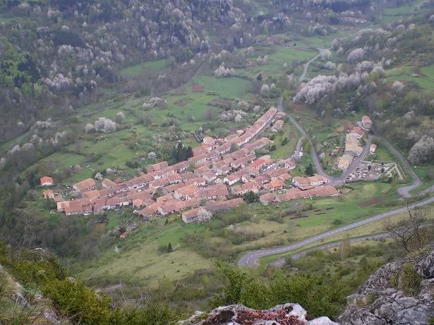
- Nearby: Lavelanet (7 km)
Best time to visit & climate
The most pleasant time to visit is Jun–Aug.
| Jan | Feb | Mar | Apr | May | Jun | Jul | Aug | Sep | Oct | Nov | Dec | |
|---|---|---|---|---|---|---|---|---|---|---|---|---|
| Avg °C | 3 | 4 | 7 | 10 | 14 | 19 | 21 | 21 | 17 | 13 | 7 | 4 |
| Rain mm | 76 | 60 | 64 | 77 | 82 | 56 | 47 | 51 | 53 | 68 | 84 | 67 |
📋 Practical info
Geography
Facts
- The castle is located at an altitude of exactly 1,207 meters above sea level.
- The siege of 1243 lasted for nearly ten months.
- Exactly 215 Cathars were executed by burning at the stake on March 16, 1244.
- The current building dates mostly from the period following the siege.
- Montségur is often referred to as the 'Sun Castle' of the Cathars.
- A small museum in the village of Montségur displays findings from the siege era.
Explore nearby
Notable places around
Route planner — Car & Motorhome
Where do you start? We build the route here, with stops and country notes along the way.
© OpenStreetMap contributors · OpenRouteService
Sights in the town Montségur (6)
Grange de Campis
The ruins of an old barn near Montségur, testimony to the rural past.
Roc du Tals
Roc du Tals is a viewpoint overlooking the valleys and hills of the area.
Sights nearby
Frequently asked questions
How difficult is the climb to Montségur castle?
Who were the Cathars?
What happened in 1244?
Is there a museum in the village?
How high are the ruins located?
Montségur: where is it located?
Montségur: what is there to see?
Montségur: when is the best time to visit?
Montségur: why is it worth visiting?

Nearby cities