Plizio Visual Lab
Plateau de Millevaches

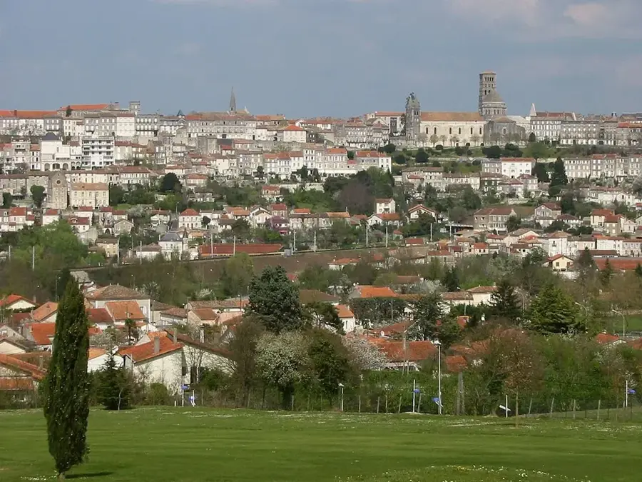
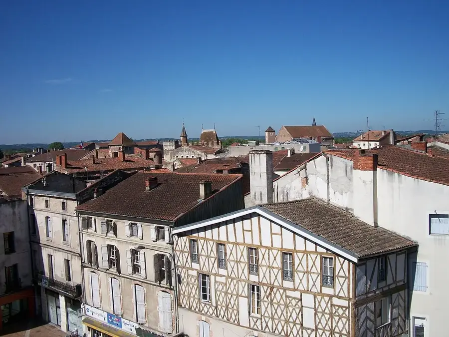
The Plateau de Millevaches is an extensive granite plateau in the heart of the Limousin region, spanning across parts of the Corrèze, Creuse, and Haute-Vienne departments. Contrary to popular belief, the name does not derive from "a thousand cows" but from the Celtic word "batzi," meaning springs. True to its name, the plateau serves as a massive natural water tower, giving birth to numerous rivers such as the Vienne, Vézère, and Creuse. The area lies at an average altitude of 700 to 900 meters, with Mont Bessou being the highest point at 976 meters. The landscape is characterized by vast heathlands, peat bogs, dense coniferous forests, and green pastures, earning it the nickname "Little Scotland." Since 2004, a significant portion of the plateau has been protected as the Millevaches en Limousin Regional Natural Park. The region is very sparsely populated, offering unspoiled nature that is highly valued for hiking and ecotourism. The distinct granite architecture of the local villages reflects the geological nature of the ground.
- Location: Nouvelle-Aquitaine, France
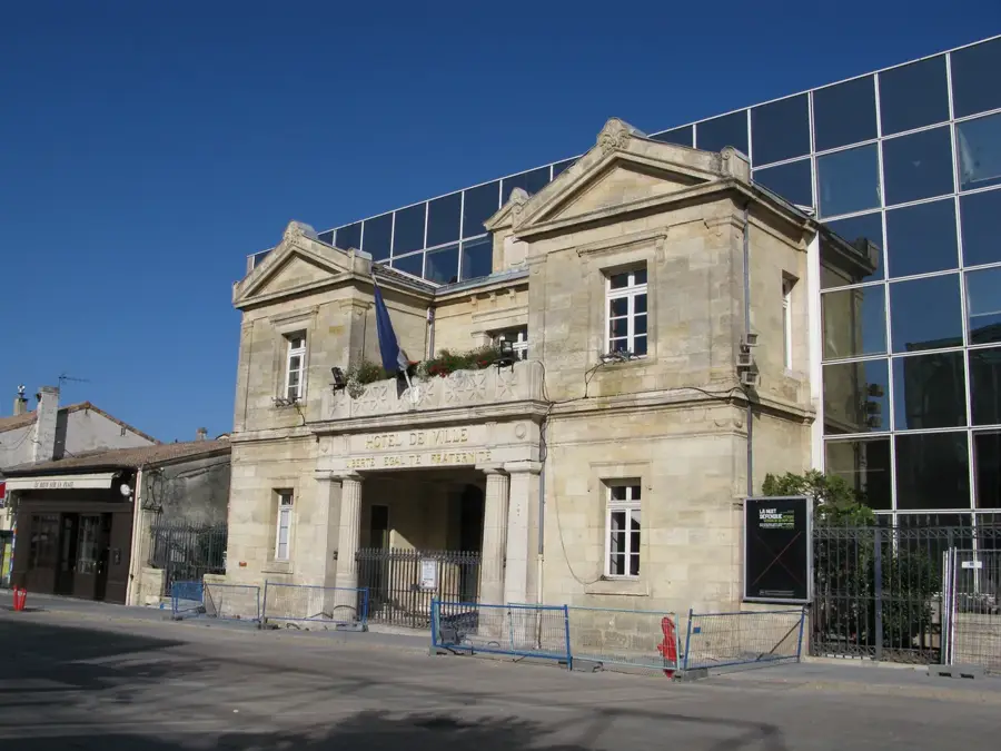
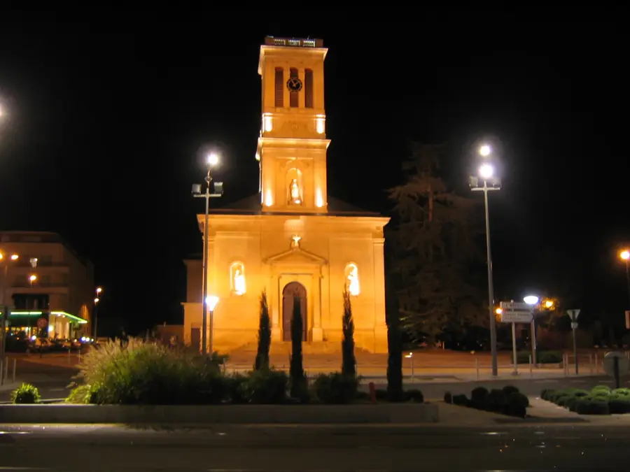
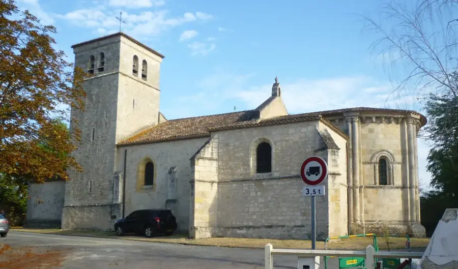
- Top sights: Église Sainte-Madeleine · Église de la Nativité de Saint-Jean Baptiste
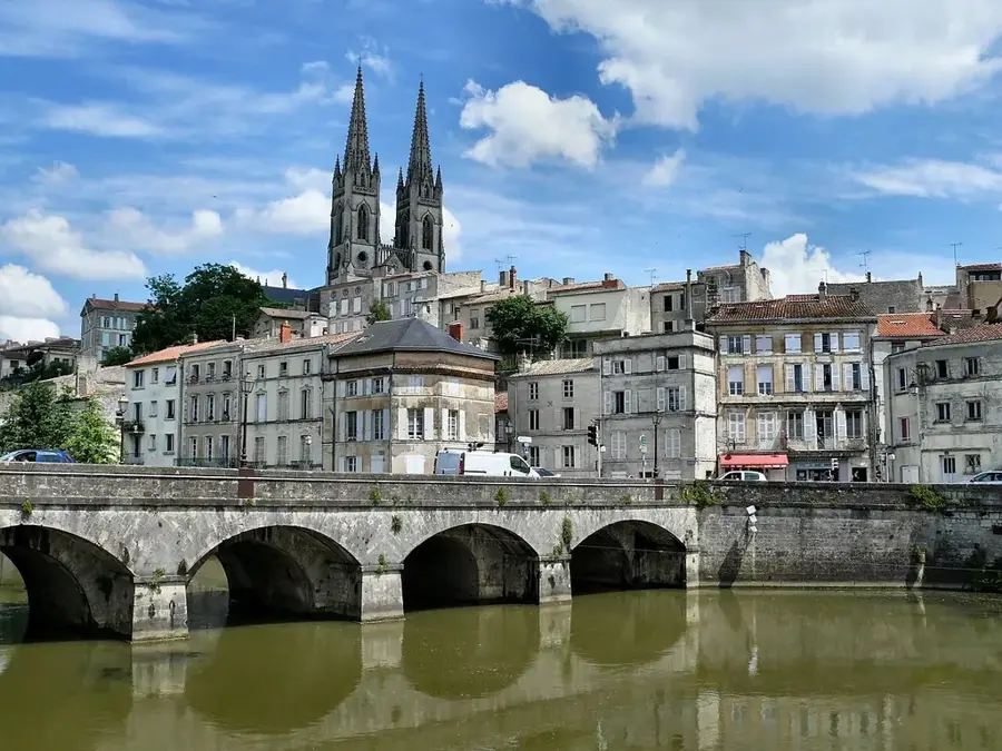
- Nearby: Ussel (20 km)
Best time to visit & climate
The most pleasant time to visit is Jun–Aug.
| Jan | Feb | Mar | Apr | May | Jun | Jul | Aug | Sep | Oct | Nov | Dec | |
|---|---|---|---|---|---|---|---|---|---|---|---|---|
| Avg °C | 2 | 2 | 6 | 9 | 13 | 17 | 19 | 19 | 15 | 11 | 6 | 3 |
| Rain mm | 82 | 59 | 78 | 84 | 92 | 76 | 61 | 70 | 62 | 78 | 86 | 84 |
📋 Practical info
Geography
Facts
- The plateau covers an area of approximately 3,300 square kilometers.
- The name originates from the Celtic word 'batzi' (springs).
- Mont Bessou is the highest point at 976 meters.
- It was designated a Regional Natural Park in 2004.
- Over 100 rivers and streams originate in this highland area.
- The region is known for its significant peat bogs.
Explore nearby
Notable places around
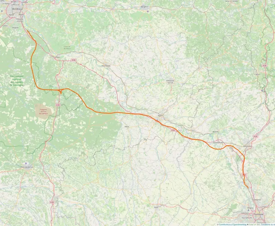
Route planner — Car & Motorhome
Where do you start? We build the route here, with stops and country notes along the way.
© OpenStreetMap contributors · OpenRouteService
Sights in the town Plateau de Millevaches (2)
Sights nearby
Frequently asked questions
Does the name mean 'Thousand Cows'?
What is the highest point of the plateau?
Is the region suitable for stargazing?
What landscape form dominates here?
Can you go hiking here in winter?
Plateau de Millevaches: where is it located?
Plateau de Millevaches: what is there to see?
Plateau de Millevaches: when is the best time to visit?
Plateau de Millevaches: why is it worth visiting?

Nearby cities