Plizio Visual Lab
Millevaches Plateau
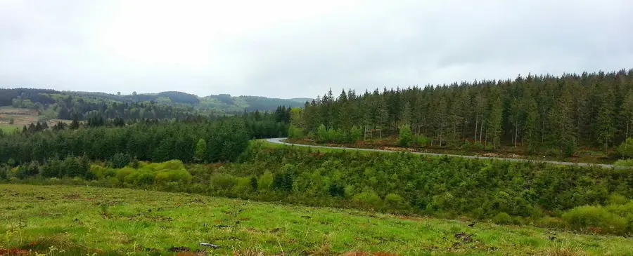
The Millevaches Plateau is a vast granite upland in the Limousin region, forming the northwestern part of France's Massif Central. Spanning across the departments of Corrèze, Creuse, and Haute-Vienne, it lies at an average elevation between 700 and 900 meters. Its name is likely derived not from 'a thousand cows,' but from the Celtic word 'batz,' meaning springs, reflecting the region's immense water wealth. Major rivers such as the Vézère and the Vienne originate here, and the landscape is defined by peat bogs, heathlands, and dense forests. Since 2004, the area has been protected as the Millevaches en Limousin Regional Natural Park to preserve its pristine environment and biodiversity. The plateau is one of the most sparsely populated areas in France and is home to one of the darkest night skies in Western Europe, making it convenient for astronomy. The highest point is Mont Bessou at 976 meters, where an observation tower provides expansive views of the surrounding Massif Central.
- Location: Nouvelle-Aquitaine, France
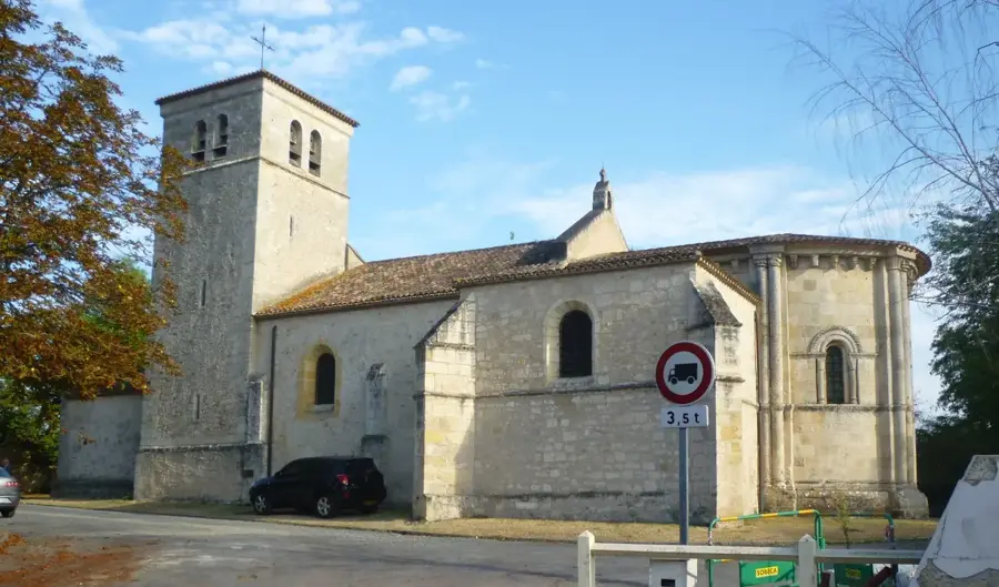
- Top sights: Église Saint-Sagittaire · Chapelle Saint-Sagittaire
- Nearby: Ussel (22 km)
Best time to visit & climate
The most pleasant time to visit is Jun–Aug.
| Jan | Feb | Mar | Apr | May | Jun | Jul | Aug | Sep | Oct | Nov | Dec | |
|---|---|---|---|---|---|---|---|---|---|---|---|---|
| Avg °C | 2 | 2 | 6 | 9 | 13 | 17 | 19 | 19 | 15 | 11 | 6 | 3 |
| Rain mm | 82 | 59 | 78 | 84 | 92 | 76 | 61 | 70 | 62 | 78 | 86 | 84 |
📋 Practical info
Geography
Facts
- The highest point is Mont Bessou at 976 meters.
- Designated as a Regional Natural Park in 2004.
- Known as the 'water tower' of France due to its many springs.
- It is one of the most sparsely populated regions in France.
- Certified as an International Dark Sky Reserve for astronomy.
- Geologically, the plateau consists almost entirely of Variscan granite.
Explore nearby
Notable places around
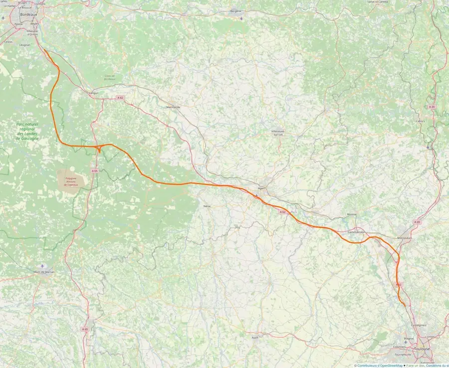
Route planner — Car & Motorhome
Where do you start? We build the route here, with stops and country notes along the way.
© OpenStreetMap contributors · OpenRouteService
Sights in the town Millevaches Plateau (2)
Sights nearby
Frequently asked questions
Does the name mean 'a thousand cows'?
In which region is the plateau located?
What is the average altitude?
What landscape type dominates here?
Which river originates here?
Millevaches Plateau: where is it located?
Millevaches Plateau: what is there to see?
Millevaches Plateau: when is the best time to visit?
Millevaches Plateau: why is it worth visiting?

Nearby cities