Plizio Visual Lab
Ginir
ℹ️Practical info — Ginir
▾
🌤 Weather — 5 days
📍 Nearby
Sights nearby
💡 Tips
- The town sits at a relatively high altitude; take it easy on your first day to acclimate.
- Roads connecting to larger hubs like Robe can be unpaved and bumpy; hire a sturdy 4x4 if driving.
- The local market is most spirited in the early morning; bring small cash for purchases.
- English is not widely spoken, so learning a few basic phrases in Oromo or Amharic is highly beneficial.
🍽 Food
A thick chickpea stew often served with fresh injera at local eateries.
Enjoy a traditional coffee ceremony at one of the small local cafes in town.
Sautéed meat with spices, a must-try dish at the restaurants near the town center.
🛍 Shopping · 🧘 Quiet spots
Look for rich, organic honey sold by local farmers in the market.
Woven baskets and traditional textiles are best found at the early morning market.
Take a quiet walk towards the rural farmlands surrounding the town.
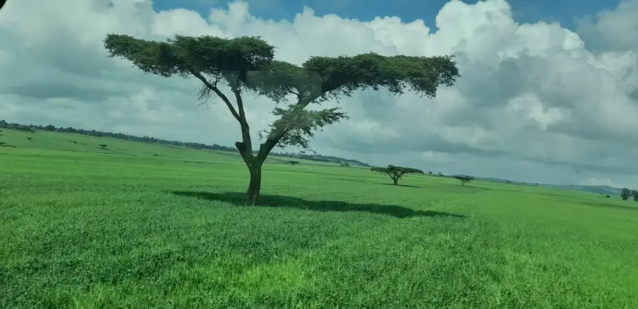
The scenic landscapes on the roads leading out of town offer peaceful highland views.
Water temperature…
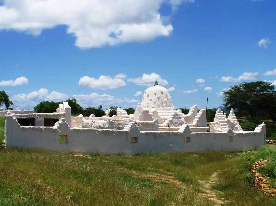
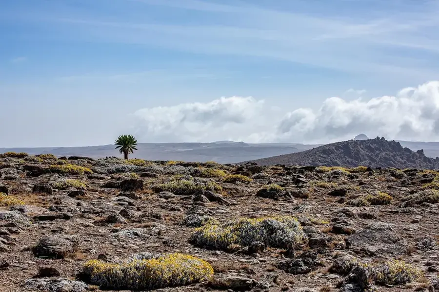
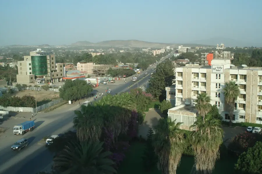
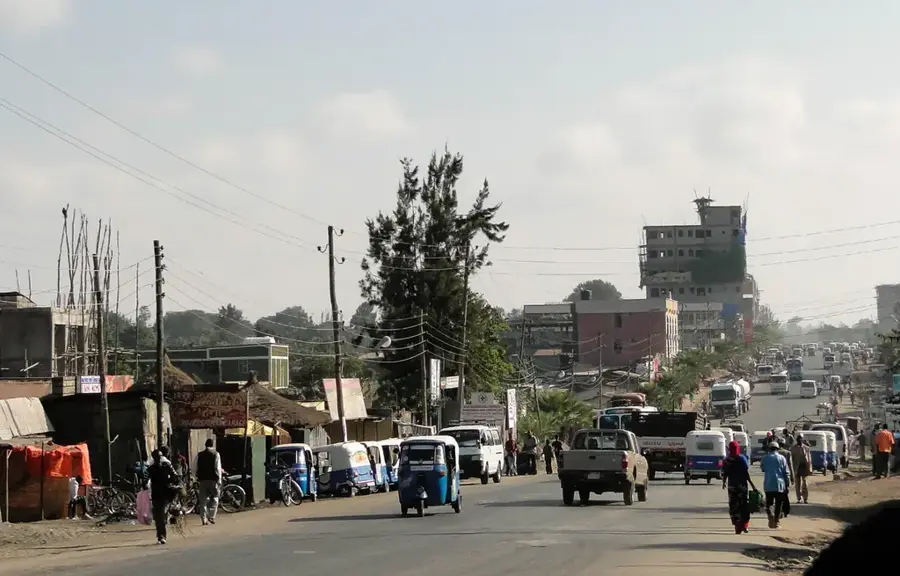
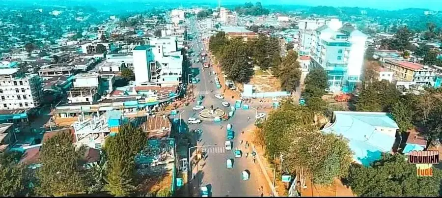
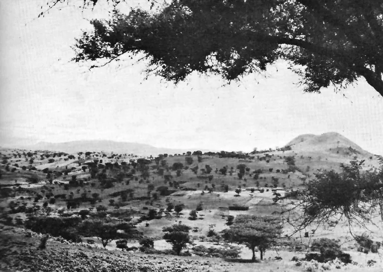
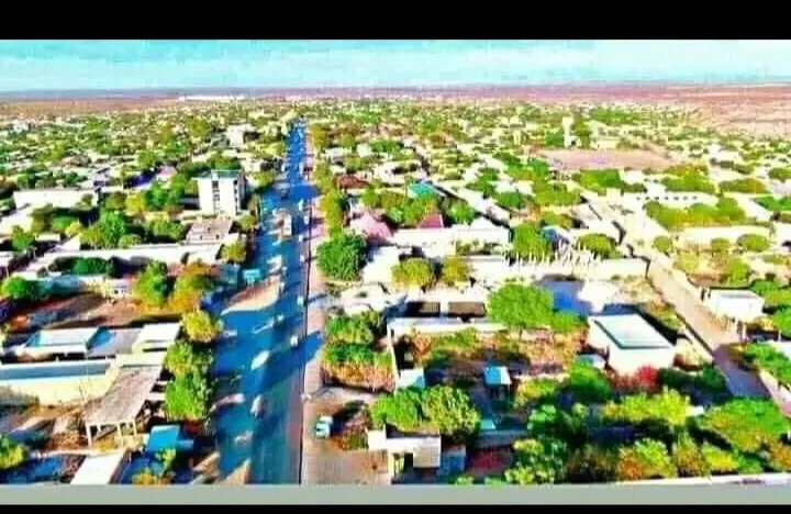
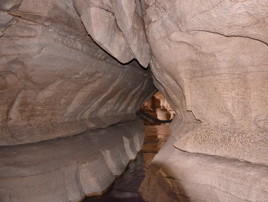
Ginir is a historic town located in the Bale Zone of the Oromia Region in southeastern Ethiopia. Positioned on a high plateau at an elevation of roughly 1,750 meters, it has long served as a crucial trading post between the Ethiopian highlands and the southern lowlands. During the Italian occupation in the 1930s, Ginir was a strategic outpost, and remnants of that era can still be found in the local history. The town is situated near the spectacular Sof Omar Caves, one of the longest and most significant cave systems on the African continent. Ginir's economy is primarily based on the trade of livestock, grains, and spices produced in the fertile Bale region. Despite its relatively isolated location, the town remains a bustling cultural center for the local population, preserving traditional Oromo customs and social structures. Improvements in regional infrastructure have recently enhanced its connectivity to larger urban centers like Goba and Robe.
- Location: Ethiopia
- Nearby: Robe (78 km)
- Population: ~35.500 (2023)
Best time to visit & climate
The most pleasant time to visit is Jan, Feb, Jun.
| Jan | Feb | Mar | Apr | May | Jun | Jul | Aug | Sep | Oct | Nov | Dec | |
|---|---|---|---|---|---|---|---|---|---|---|---|---|
| Avg °C | 20 | 21 | 21 | 20 | 20 | 20 | 20 | 20 | 20 | 19 | 19 | 18 |
| Rain mm | 12 | 23 | 69 | 204 | 126 | 48 | 53 | 95 | 85 | 113 | 85 | 40 |
Geography
Facts
- Situated in the Bale Zone at an altitude of 1,750 meters.
- Historically served as a key trade post between highlands and lowlands.
- Located near the Sof Omar Caves, one of Africa's longest cave systems.
- Was a strategic Italian military outpost during the 1930s.
- The local economy is centered on livestock and grain trading.
- Connected to the regional centers of Goba and Robe via road.
Explore nearby
Notable places around
Route planner — Car & Motorhome
Where do you start? We build the route here, with stops and country notes along the way.
© OpenStreetMap contributors · OpenRouteService
Frequently asked questions
What is the most important sight near Ginir?
In which region is Ginir located?
How is the infrastructure in Ginir?
What are the main products of the region?
When should you visit Ginir?
Ginir: where is it located?
Ginir: when is the best time to visit?
Ginir: why is it worth visiting?

Nearby cities

History & landmarks
Nature
More places