Plizio Visual Lab
Metu
ℹ️Practical info — Metu
▾
🌤 Weather — 5 days
📍 Nearby
Sights nearby
💡 Tips
- A great base to visit the Sor Waterfall, which is best seen after the rainy season.
- The area is renowned for its wild honey, which is a must-try local specialty.
- Roads to waterfalls can be slippery; wear good hiking shoes for safety.
- Public transport to surrounding natural sites is scarce, hiring a private taxi or bajaj is recommended.
- The climate is humid and lush; carry a light rain jacket just in case.
🍽 Food
Local honey wine houses (Tej bet).
Traditional venues in town.
Town cafes using freshly roasted beans.
🛍 Shopping · 🧘 Quiet spots
Local market stalls.
Central market area.
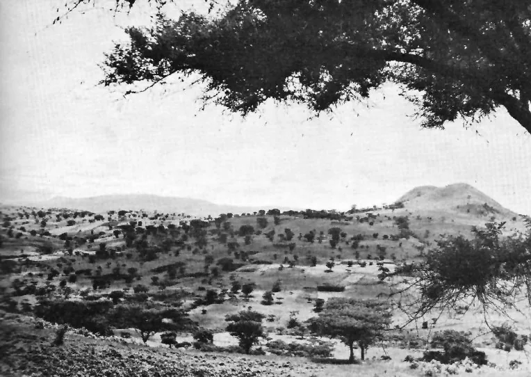
Peaceful nature hike with the sound of cascading water.
Calm walks among the lush, green landscape.
Water temperature…
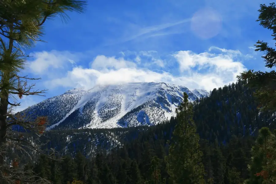
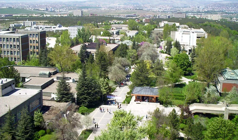
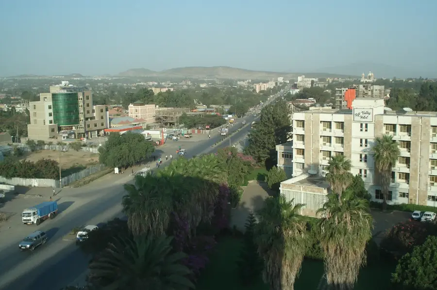
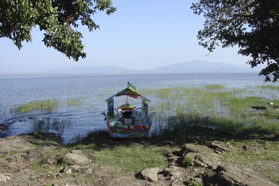
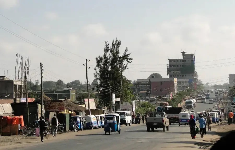
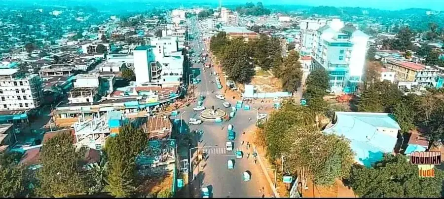
Metu is the administrative capital of the Illubabor Zone in the Oromia Region, situated in the southwestern part of Ethiopia. The town is located at an elevation of approximately 1,605 meters above sea level in a lush area known for its significant rainfall and dense forests. A prominent geographical feature is the Sor Waterfall, located just five kilometers from the town center, which serves as a major natural landmark in the region. Historically, Metu served as the capital of the former Illubabor province until 1978, when administrative boundaries were restructured. The local economy is primarily driven by coffee cultivation and the trade of agricultural products, as the region is one of the most productive coffee-growing areas in the country. The town is also home to Mettu University, which plays a vital role in providing higher education to the youth of the southwestern region. The climate is characterized by high precipitation, ensuring that the surrounding landscape remains green and supports a rich variety of flora and fauna.
- Location: Ethiopia
- Nearby: Bedele (86 km)
- Population: ~59.700 (2023)
Best time to visit & climate
The most pleasant time to visit is Jan, Feb, Dec.
| Jan | Feb | Mar | Apr | May | Jun | Jul | Aug | Sep | Oct | Nov | Dec | |
|---|---|---|---|---|---|---|---|---|---|---|---|---|
| Avg °C | 20 | 22 | 23 | 23 | 21 | 19 | 18 | 18 | 19 | 19 | 19 | 19 |
| Rain mm | 14 | 24 | 47 | 89 | 242 | 283 | 259 | 261 | 271 | 146 | 60 | 23 |
Geography
Facts
- Administrative capital of the Illubabor Zone in Oromia.
- Situated at an elevation of 1,605 meters in the southwest.
- Home to the Sor Waterfall, located 5 kilometers from the town.
- Capital of the former Illubabor province until 1978.
- Center of Ethiopia's wild coffee production and export trade.
- Location of Mettu University, a major regional higher education hub.
Explore nearby
Notable places around
Route planner — Car & Motorhome
Where do you start? We build the route here, with stops and country notes along the way.
© OpenStreetMap contributors · OpenRouteService
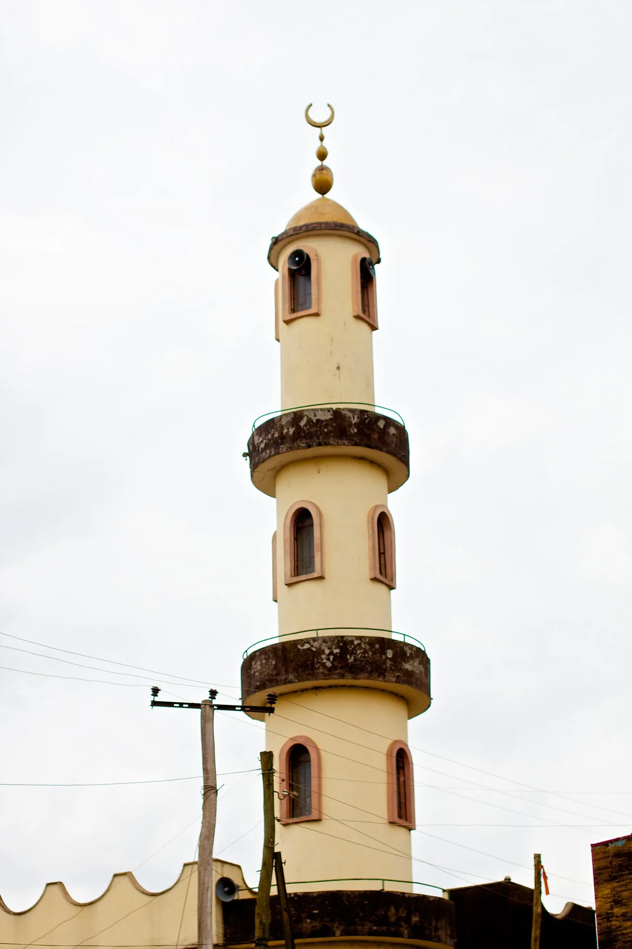
Sights in the town Metu (1)
Frequently asked questions
Why visit Metu?
What is the area around Metu like?
Is Metu easily accessible?
What is the main source of income for the region?
How much time should be allocated for the Sor Waterfall?
Metu: where is it located?
Metu: when is the best time to visit?
Metu: why is it worth visiting?

Nearby cities


History & landmarks

Nature

More places