Plizio Visual Lab
Mount Dino

Weather…
Water temperature…
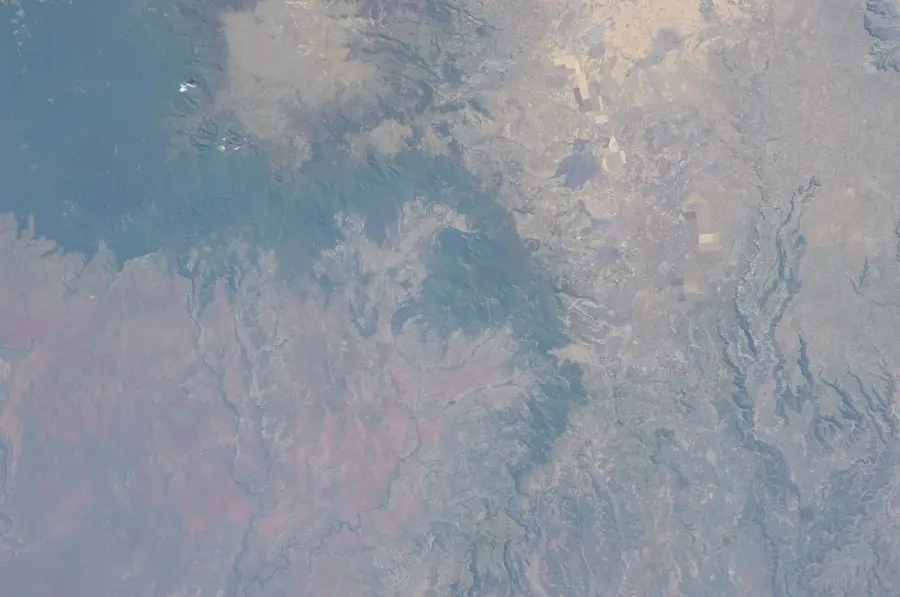
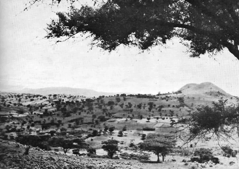
Mount Dino is a lesser-known but geographically significant peak in the Ethiopian highlands, part of the Bale-Arsi massif. Rising to an elevation of approximately 4,000 meters, it protrudes into the Afro-alpine zone and is characterized by a barren, rocky landscape dominated by lichens and mosses. Located in southeastern Ethiopia, it forms a natural border between different administrative units of the Oromia Region. Geologically, the mountain consists of ancient lava flows shaped by glacial activities during the last ice age, reflected in the U-shaped valleys and cirques on its flanks. The region is marked by extreme cold and strong winds, allowing only specialized animal species such as the Ethiopian wolf to live here permanently. Despite its remoteness, the mountain is an important destination for researchers studying climate change and its impact on alpine ecosystems. The surrounding areas are used by nomadic herders who drive their livestock to the high-altitude pastures during the rainy season. Mount Dino has a raw beauty that is symbolic of the untamed wilderness of the Ethiopian high mountains.
- Location: Ethiopia
- Nearby: Sodere (80 km)
Best time to visit & climate
The most pleasant time to visit is Jan–Mar.
| Jan | Feb | Mar | Apr | May | Jun | Jul | Aug | Sep | Oct | Nov | Dec | |
|---|---|---|---|---|---|---|---|---|---|---|---|---|
| Avg °C | 19 | 21 | 22 | 21 | 22 | 22 | 21 | 20 | 20 | 20 | 19 | 18 |
| Rain mm | 11 | 21 | 56 | 104 | 74 | 56 | 140 | 154 | 99 | 48 | 39 | 22 |
📋 Practical info
Geography
Facts
- The peak elevation reaches approximately 4,000 meters.
- Part of the Arsi Mountains in the southeastern highlands.
- The relief shows clear traces of Pleistocene glaciation.
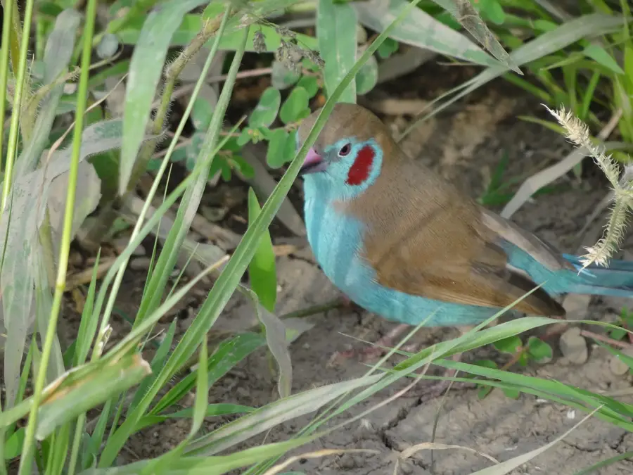
- Habitat for the endangered Ethiopian wolf.
- Temperatures can drop well below freezing at night.
- Geologically, basalts and trachytes dominate the massif.
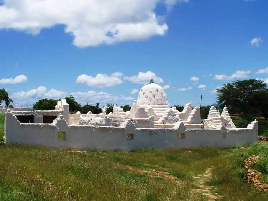
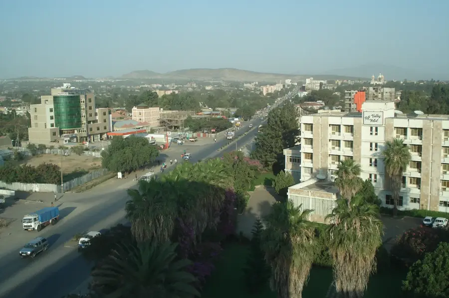
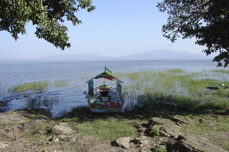
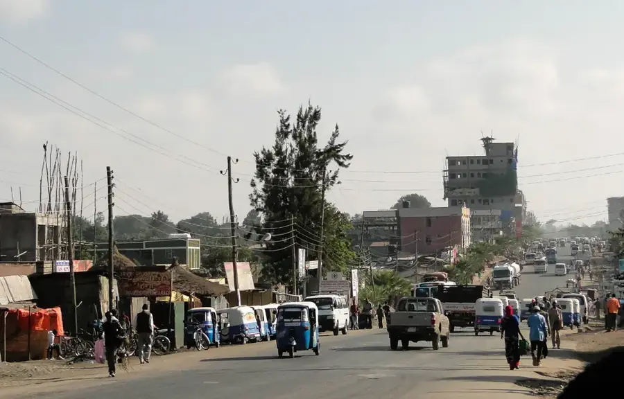
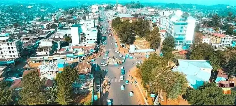
Explore nearby
Notable places around
Route planner — Car & Motorhome
Where do you start? We build the route here, with stops and country notes along the way.
© OpenStreetMap contributors · OpenRouteService
Sights nearby
Frequently asked questions
Can you see monkeys on Mount Dino?
What is the terrain like underfoot?
Is Mount Dino safe for solo hikers?
Are there caves on Mount Dino?
What height does Mount Dino reach?
Mount Dino: where is it located?
Mount Dino: when is the best time to visit?
Mount Dino: why is it worth visiting?

Nearby cities


History & landmarks
Nature
More places