Plizio Visual Lab
Kool-Nukk
Weather…
Water temperature…
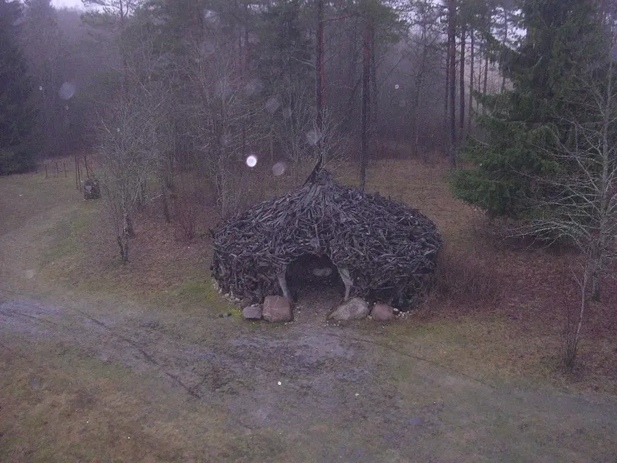
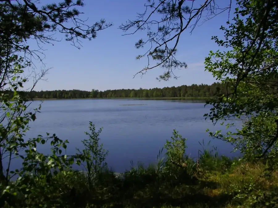
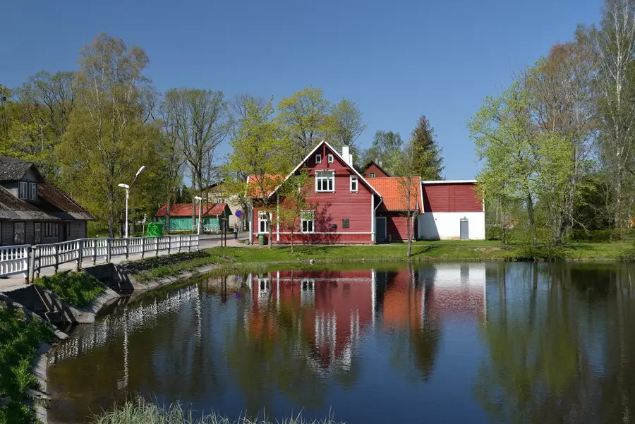
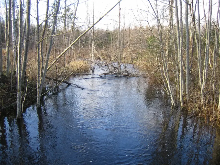
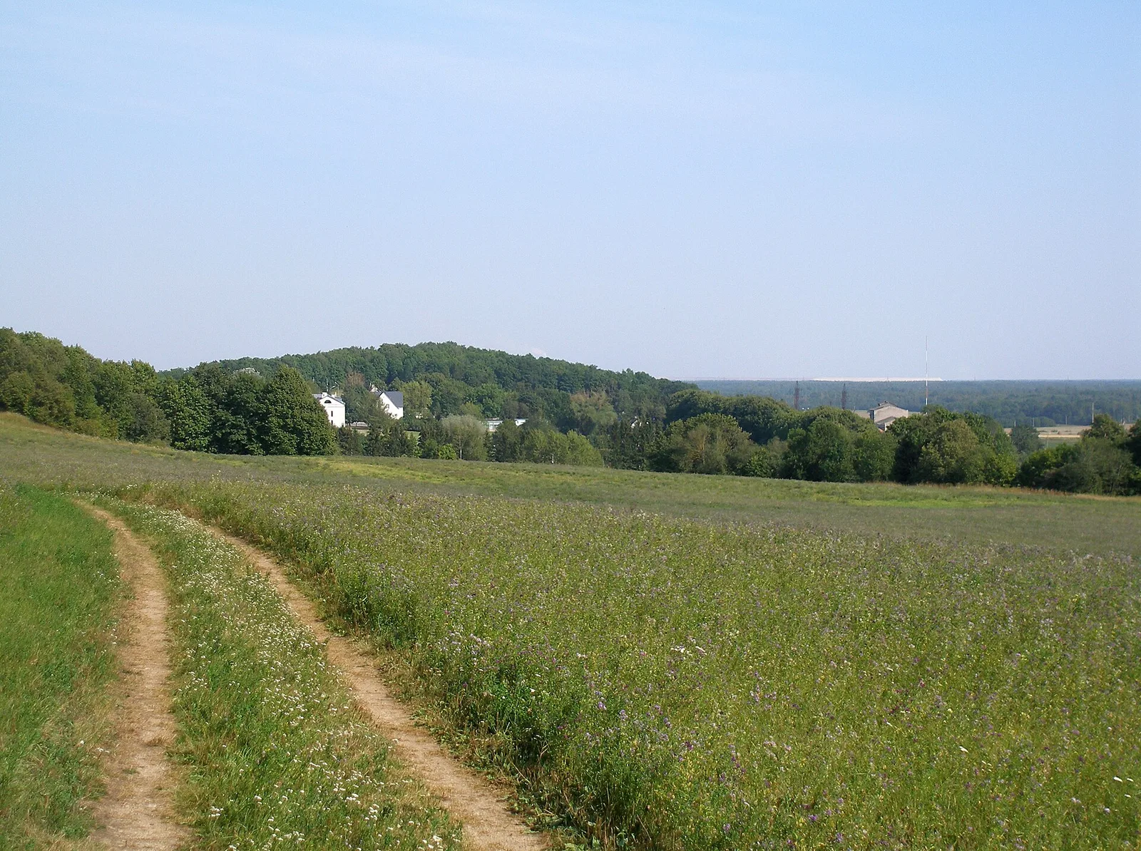
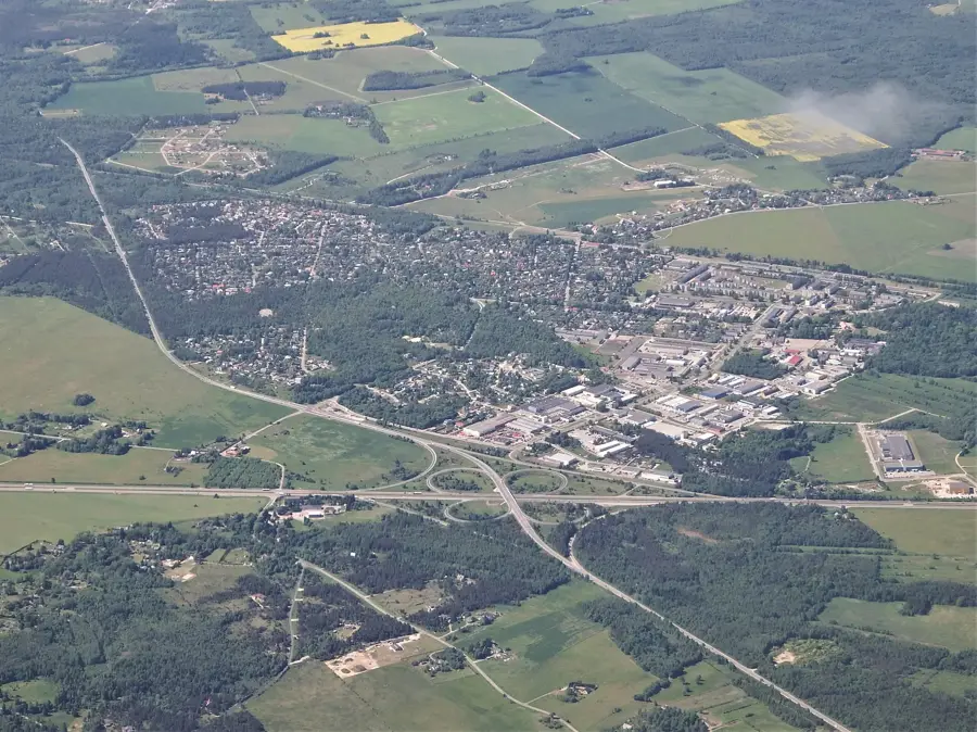
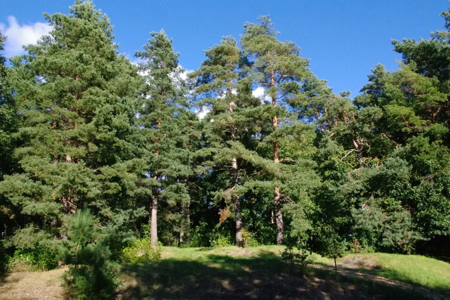
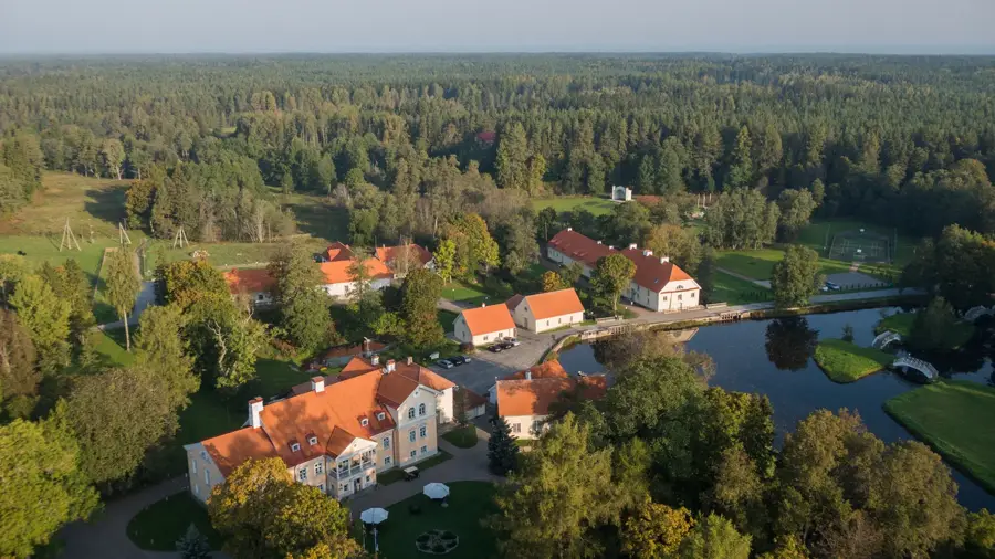
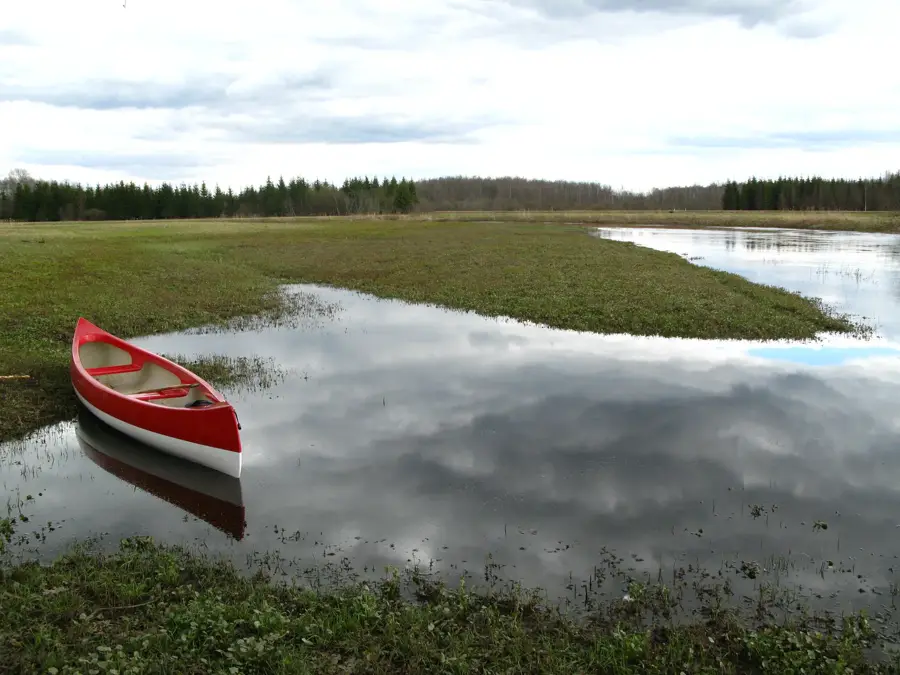
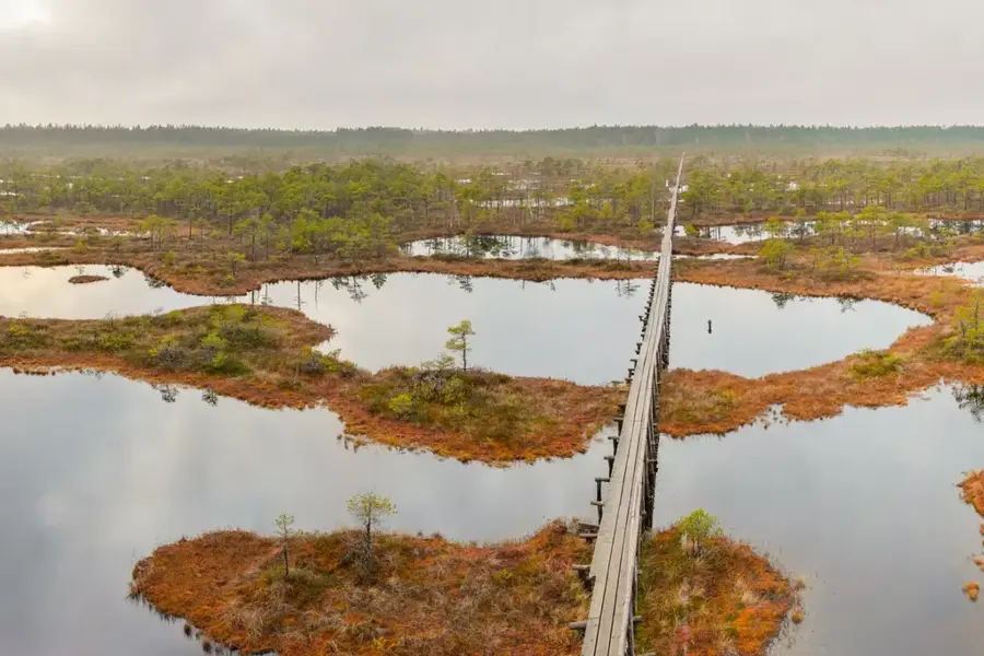
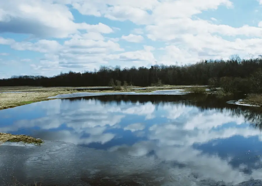
Kool-Nukk is a prominent hill in northeastern Estonia, part of the Pandivere Upland. Geologically, it is a drumlin formed during the last ice age by glacial movements. Rising approximately 120 meters above sea level, it gives expansive views over surrounding forests and bogs. The area is sparsely populated, dominated by coniferous woodlands and agricultural patches. Nearby, several small lakes created by meltwater dot the landscape. Kool-Nukk is a popular spot for hikers and nature enthusiasts seeking unspoiled wilderness. The flora features typical boreal species like spruce, pine, and various mosses. Wildlife includes moose, bears, and wolves. The hill serves as a crucial water reservoir and habitat for rare bird species. Marked trails lead to the summit, where visitors can enjoy panoramic vistas.
- Location: Estonia
- Nearby: Kunda (67 km)
Best time to visit & climate
The most pleasant time to visit is Jun–Aug.
| Jan | Feb | Mar | Apr | May | Jun | Jul | Aug | Sep | Oct | Nov | Dec | |
|---|---|---|---|---|---|---|---|---|---|---|---|---|
| Avg °C | -7 | -7 | -3 | 4 | 11 | 15 | 18 | 17 | 12 | 5 | 0 | -4 |
| Rain mm | 52 | 45 | 42 | 45 | 56 | 92 | 74 | 83 | 59 | 69 | 69 | 59 |
📋 Practical info
Geography
Facts
- Elevation: 120 meters above sea level
- Length: 1.5 km, width: 300 meters
- Part of the Pandivere Upland, covering 2,400 km²
- Annual precipitation: 650 mm
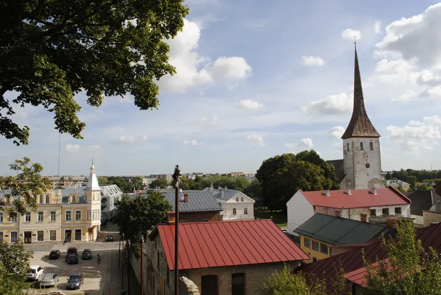
- Nearest town: Rakvere, 30 km away
- Formed during the Weichselian glaciation, 20,000 years ago
Explore nearby
Notable places around
Route planner — Car & Motorhome
Where do you start? We build the route here, with stops and country notes along the way.
© OpenStreetMap contributors · OpenRouteService
Sights nearby
Frequently asked questions
Why is the place called Kool-Nukk?
Is the place historically significant?
Is the place suitable for nature education?
How do you reach Kool-Nukk?
Are there educational trails there?
Kool-Nukk: where is it located?
Kool-Nukk: when is the best time to visit?
Kool-Nukk: why is it worth visiting?

Nearby cities
History & landmarks
Nature
More places