Plizio Visual Lab
Batete
ℹ️Practical info — Batete
▾
🌤 Weather — 5 days
📍 Nearby
Sights nearby
💡 Tips
- A must-see is the unique wooden church (Iglesia de San Antonio de Padua), a rare architectural gem.
- It's located in the rainy southern part of Bioko, so bring rain gear regardless of the season.
- Reaching the village requires a 4x4 vehicle due to the steep and often muddy mountain roads.
- Respect the local Bubi culture and ask permission before taking photos of people.
- Pack snacks and water as tourist infrastructure is practically non-existent.
🍽 Food
A staple food in the region, usually found in village stalls.
A local traditional drink often shared among locals.
🛍 Shopping · 🧘 Quiet spots
Small village stalls sell fresh plantains and yams.
Occasionally found, ask locals for wood carvings.
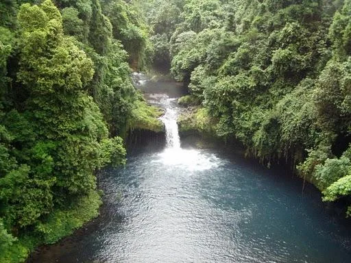
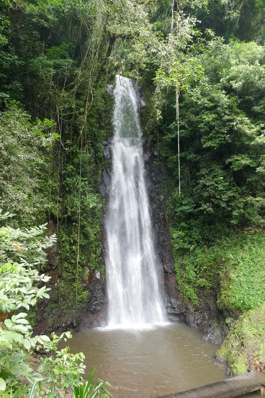
Take a walk in the dense, misty tropical forest.
A serene spot overlooking the village.
Water temperature…
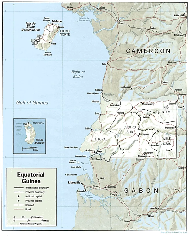
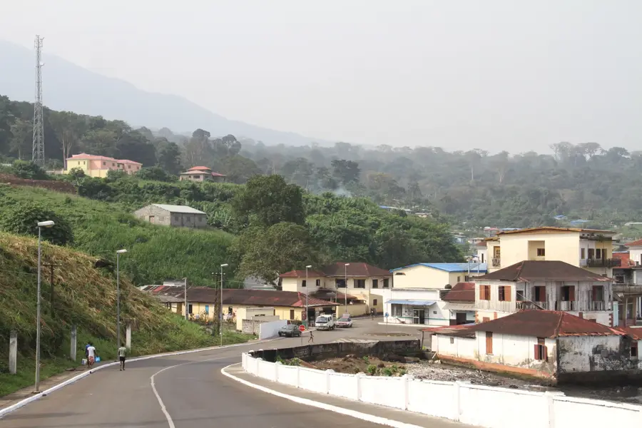
Batete is a historic settlement in the southern highlands of Bioko Island, famously known for the San Jose de Batete Church. Built in 1887 by Spanish Claretian missionaries, this Gothic-style wooden church is one of the most remarkable examples of religious timber architecture in Central Africa. Located at the foot of the Pico Biao volcano at an altitude of 250 meters, the town was a vital center for cocoa production during the Spanish colonial era from 1878 to 1968. Today, it remains a pillar of Bubi cultural identity and attracts visitors who come to admire its well-preserved colonial wooden houses and the mystical atmosphere created by frequent mountain mists. Curriculum: Art History K7, Geography K8.
- Location: Equatorial Guinea
- Nearby: Musola (6 km)
Best time to visit & climate
The most pleasant time to visit is Jan, Feb, Dec.
| Jan | Feb | Mar | Apr | May | Jun | Jul | Aug | Sep | Oct | Nov | Dec | |
|---|---|---|---|---|---|---|---|---|---|---|---|---|
| Avg °C | 26 | 26 | 27 | 27 | 26 | 25 | 24 | 24 | 25 | 25 | 26 | 26 |
| Rain mm | 32 | 77 | 156 | 202 | 216 | 298 | 306 | 333 | 338 | 243 | 155 | 28 |
Geography
Facts
- The Gothic-style wooden church was built in 1887.
- Located at an altitude of 250 m in Bioko Sur province.
- Renovated in the early 2000s with international assistance.
- Situated at the base of the 2,260 m high Pico Biao.
- Major cocoa production center between 1878 and 1968.
- The town is a spiritual center for the Bubi ethnic group.
- Characterized by well-preserved colonial-era wooden architecture.
Explore nearby
Notable places around
Route planner — Car & Motorhome
Where do you start? We build the route here, with stops and country notes along the way.
© OpenStreetMap contributors · OpenRouteService
Frequently asked questions
Why should one visit Batete?
How old is the church of Batete?
How do you reach Batete?
Is photography allowed in the Batete church?
Are there tourist services in Batete?
Batete: where is it located?
Batete: when is the best time to visit?
Batete: why is it worth visiting?

Nearby cities
History & landmarks
Nature
More places