Plizio Visual Lab
Isla de la Plata
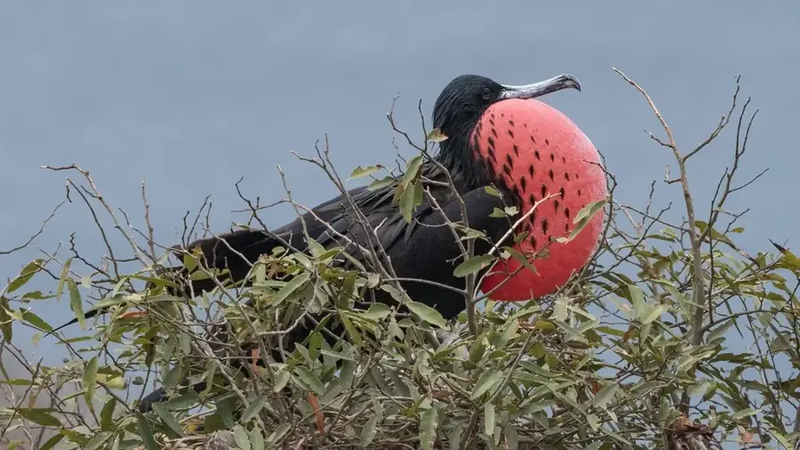
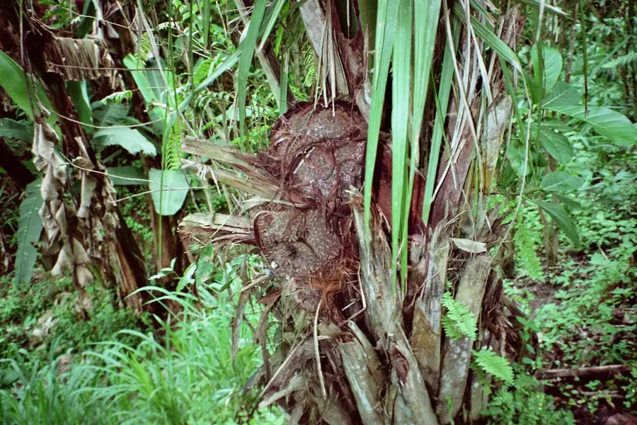
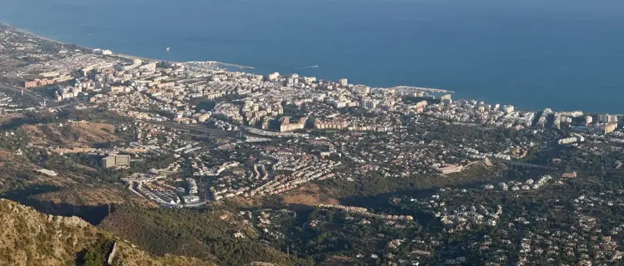
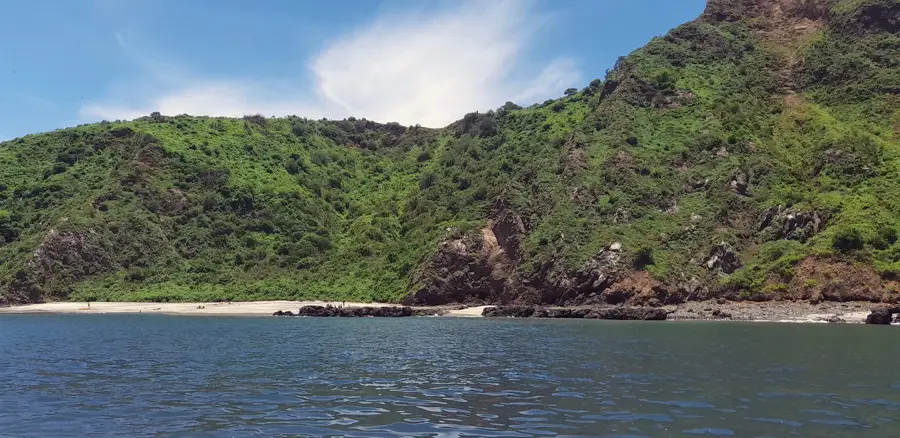
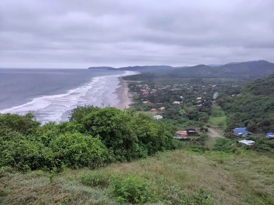
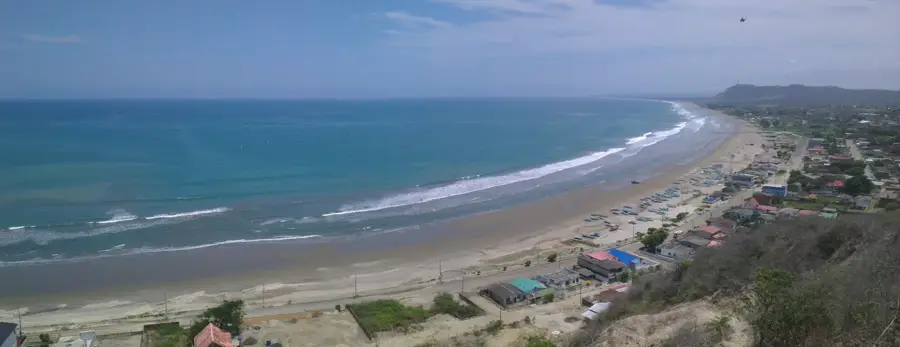
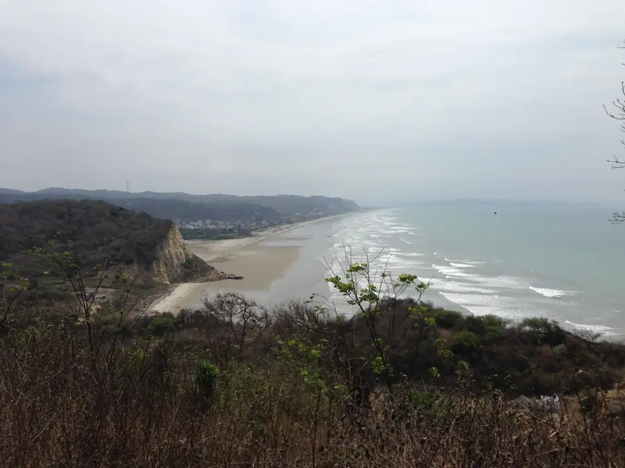
Isla de la Plata, often called 'The Poor Man’s Galapagos,' is part of the Machalilla National Park and lies approximately 40 kilometers off the coast of the Manabí province. The island covers about 1.2 square kilometers and is a critical nesting site for various seabird species. It is home to significant colonies of blue-footed boobies, red-footed boobies, and Nazca boobies, as well as magnificent frigatebirds. The island's name ('Silver Island') stems from 16th-century legends suggesting that the pirate Sir Francis Drake hid stolen treasures here. Beyond its birdlife, the island is famous for humpback whale watching between June and September, as these giants migrate to the warm waters to mate and calve. The surrounding coral reefs offer excellent snorkeling opportunities, hosting a diverse array of reef fish and sea turtles. Well-marked hiking trails crisscross the arid island, providing spectacular views of the rugged Pacific cliffs.
- Location: Ecuador
- Top sights: Mirador Isla de la Plata · Visitors Center Parque Nacional Machalilla
- Nearby: Salinas (19 km)
Best time to visit & climate
The most pleasant time to visit is Aug–Oct.
| Jan | Feb | Mar | Apr | May | Jun | Jul | Aug | Sep | Oct | Nov | Dec | |
|---|---|---|---|---|---|---|---|---|---|---|---|---|
| Avg °C | 24 | 25 | 25 | 25 | 24 | 23 | 22 | 21 | 21 | 22 | 22 | 23 |
| Rain mm | 74 | 142 | 140 | 61 | 24 | 6 | 2 | 1 | 1 | 3 | 3 | 17 |
📋 Practical info
Geography
Facts
- The island is located about 40 km west of the town of Puerto López.
- It has been part of the Machalilla National Park since 1979.
- It is the only place where blue-footed, red-footed, and Nazca boobies nest together.
- The total land area of the island is approximately 1.2 square kilometers.
- Humpback whales are frequently spotted nearby from June to September.
- Inca artifacts found on the island suggest it was once a ceremonial site.
Explore nearby
Notable places around
Route planner — Car & Motorhome
Where do you start? We build the route here, with stops and country notes along the way.
© OpenStreetMap contributors · OpenRouteService
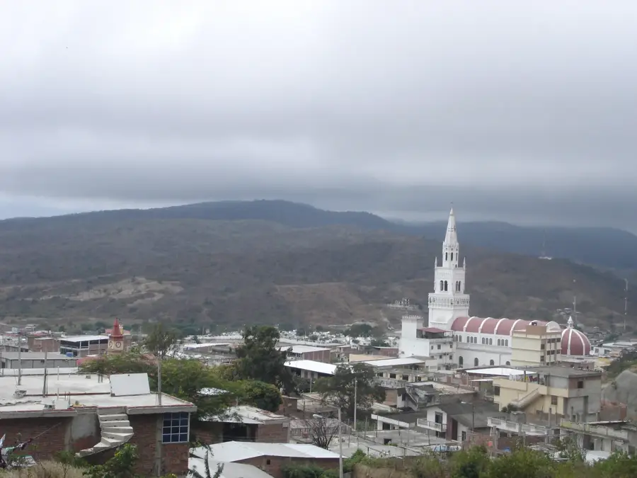
Sights in the town Isla de la Plata (2)
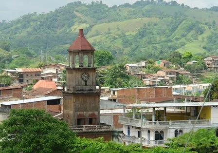
Sights nearby
Frequently asked questions
Why is it called 'Poor Man's Galapagos'?
How long does the boat trip take?
Can you see humpback whales?
Is there drinking water on the island?
Is snorkeling allowed?
Isla de la Plata: where is it located?
Isla de la Plata: what is there to see?
Isla de la Plata: when is the best time to visit?
Isla de la Plata: why is it worth visiting?

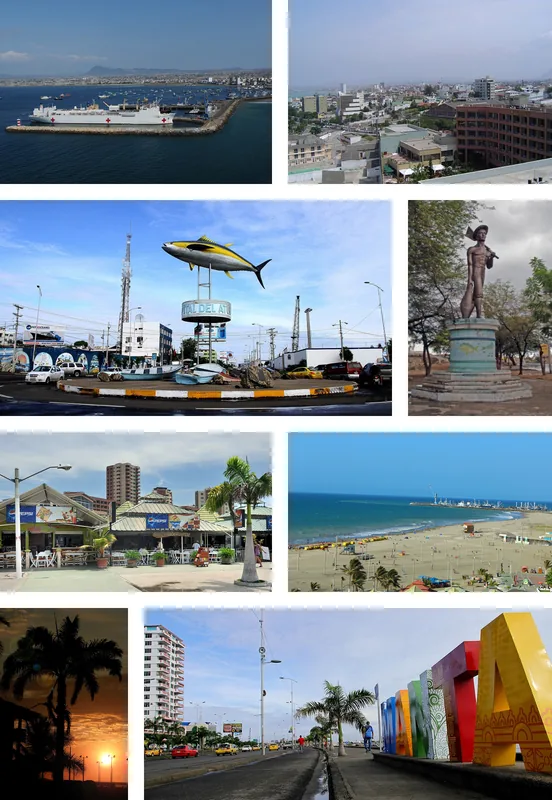
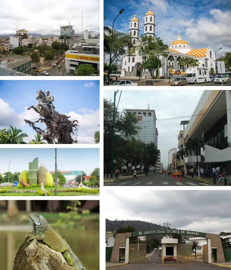
Nearby cities
More places