Plizio Visual Lab
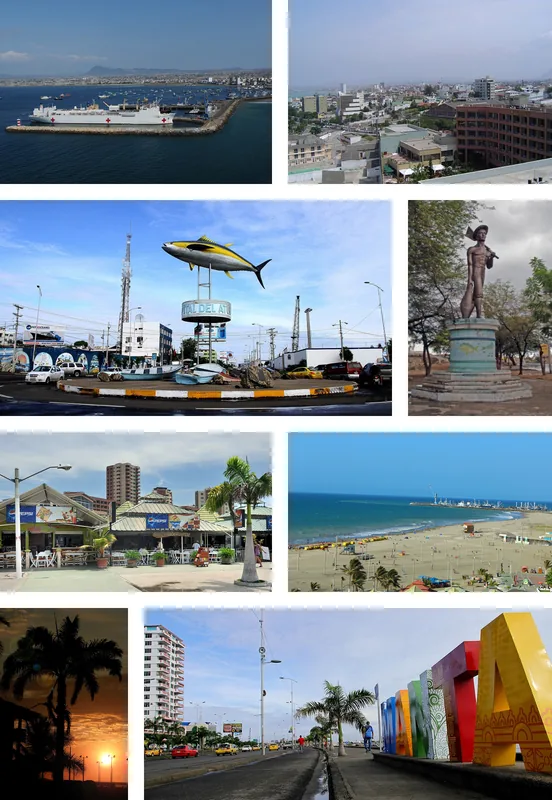
Bahía de Caráquez
ℹ️Practical info — Bahía de Caráquez
▾
🌤 Weather — 5 days
📍 Nearby
Sights nearby
💡 Tips
- Take a gabarra (ferry) across the Chone River estuary to San Vicente for great views from the water.
- Rent a bicycle; the city is flat and promotes eco-friendly transport with well-maintained bike paths.
- The sun can be very intense on the coast; make sure to use plenty of reef-safe sunscreen.
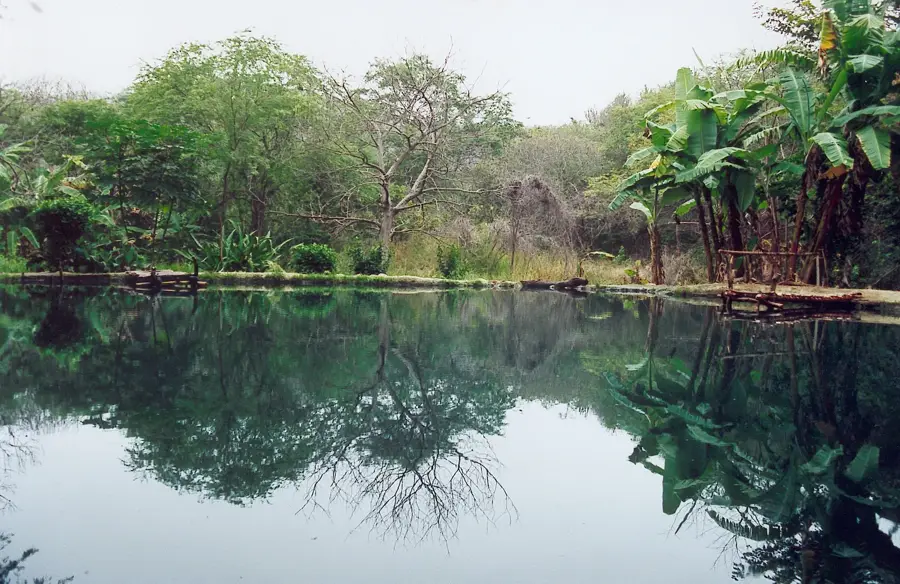
- Try bird watching in the nearby Isla Corazón, accessible by a short, organized boat trip through the mangroves.
🍽 Food
A unique regional peanut-based ceviche, best enjoyed at seafood restaurants along the malecon.
A hearty, thick fish and peanut soup available at traditional eateries in the town center.
Fried green plantains, an essential staple side dish served in almost every restaurant.
🛍 Shopping · 🧘 Quiet spots
Look for eco-friendly craft shops near the waterfront selling pieces made from vegetable ivory.
The region produces excellent cacao; find high-quality local brands in specialty shops.
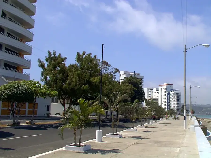
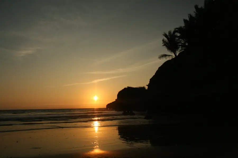
The long waterfront promenade is first-rate for a peaceful and extended sunset walk.
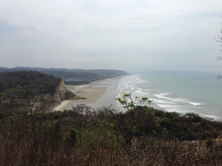
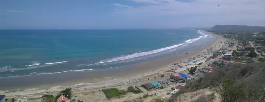
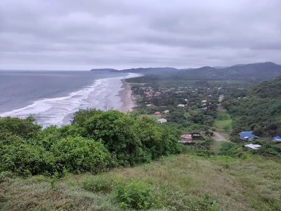
An elevated lookout point offering panoramic panoramic views of the bay and the river estuary.
Water temperature…
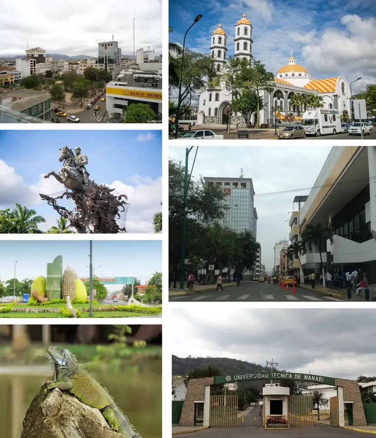
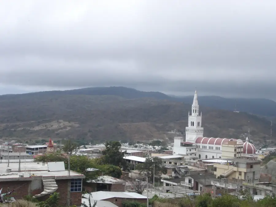
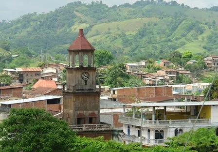
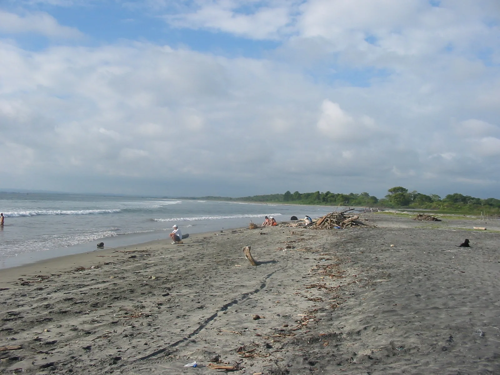
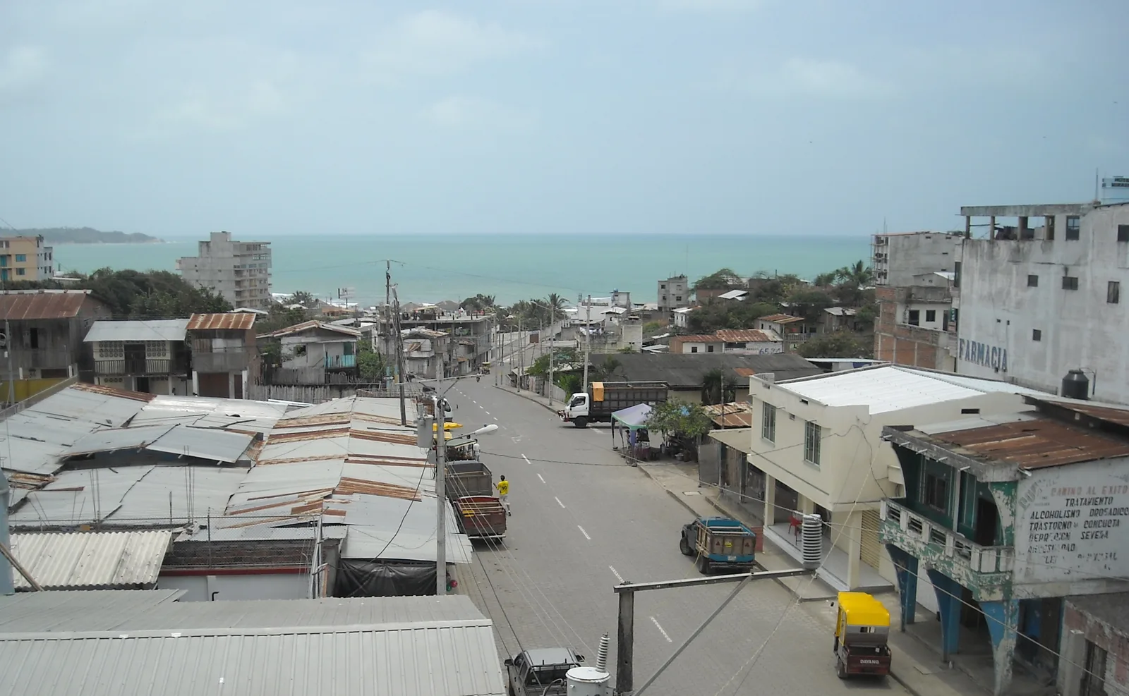
Bahía de Caráquez is located in the Manabí Province at the mouth of the Chone River on the Pacific Ocean. The city has a history spanning millennia, having been inhabited by the pre-Columbian Cara culture. During the 19th and early 20th centuries, it served as one of Ecuador's most significant export ports, particularly for tagua nuts and cocoa. Following severe natural disasters in the late 1990s, the city officially declared itself an "Eco-City" (Ciudad Eco-Amistosa), pursuing sustainable development concepts ever since. The modern Los Caras bridge connects the city with San Vicente, significantly improving regional mobility. Today, tourism, fishing, and shrimp farming are the primary economic activities. The city was damaged again during the 2016 earthquake but has emerged as an attractive holiday destination once more through extensive renovations. Visitors appreciate the tranquil atmosphere, the Archaeological Museum, and the proximity to the Isla Corazón Biosphere Reserve. The city's architecture features a blend of historic buildings and modern coastal apartment complexes.
- Location: Ecuador
- Top sights: Museo Bahia de Caraquez · El Faro de Bahia de Caraquez · BAHÍA TENIS CLUB
- Nearby: Canoa (4 km)
- Population: ~37.056 (2024)
Best time to visit & climate
The most pleasant time to visit is Aug–Oct.
| Jan | Feb | Mar | Apr | May | Jun | Jul | Aug | Sep | Oct | Nov | Dec | |
|---|---|---|---|---|---|---|---|---|---|---|---|---|
| Avg °C | 25 | 26 | 26 | 26 | 25 | 25 | 24 | 24 | 24 | 24 | 24 | 25 |
| Rain mm | 123 | 166 | 158 | 101 | 44 | 16 | 5 | 3 | 3 | 6 | 7 | 25 |
Geography
Facts
- Bahía de Caráquez was officially declared an Eco-City in 1999.
- The Los Caras bridge is 1,980 meters long, one of the longest in Ecuador.
- The city is located on the Pacific coast in the Manabí Province.
- Historically, it was a major center for the pre-Columbian Cara culture.
- Shrimp farming is a dominant economic driver in the river estuary.
- The local Archaeological Museum displays artifacts dating back 3,000 years.
Explore nearby
Notable places around
Route planner — Car & Motorhome
Where do you start? We build the route here, with stops and country notes along the way.
© OpenStreetMap contributors · OpenRouteService
Sights in the town Bahía de Caráquez (4)
Frequently asked questions
Why is Bahía de Caráquez called an 'Eco-city'?
What is the 'Los Caras' bridge?
What water sports can you practice here?
Are there museums in Bahía?
How is the nightlife?
Bahía de Caráquez: where is it located?
Bahía de Caráquez: what is there to see?
Bahía de Caráquez: when is the best time to visit?
Bahía de Caráquez: why is it worth visiting?

Nearby cities


More places