Plizio Visual Lab
Agua Blanca
Weather…
Water temperature…
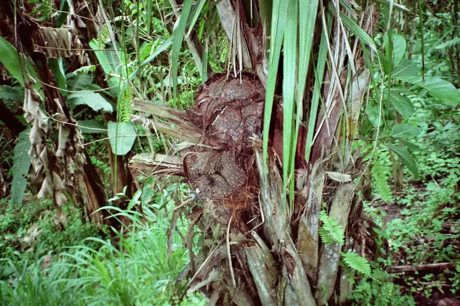
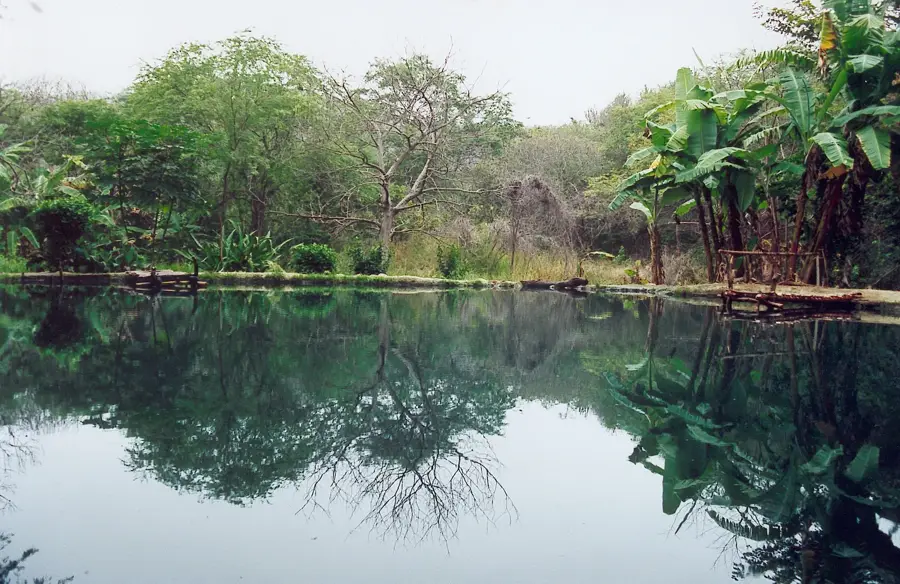
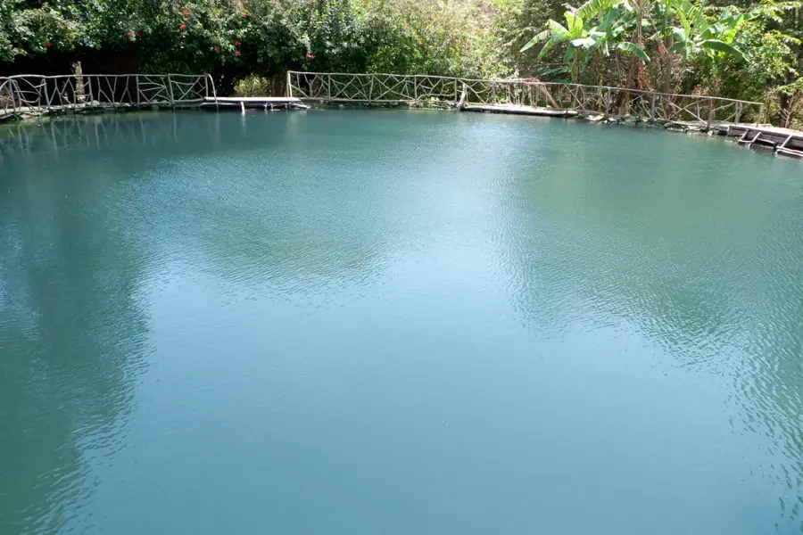
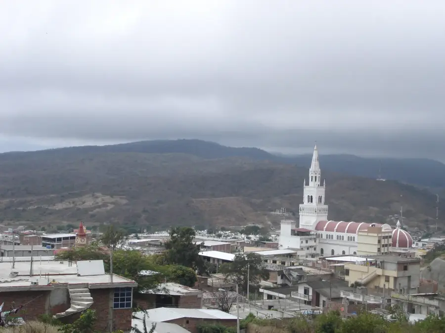
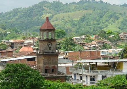
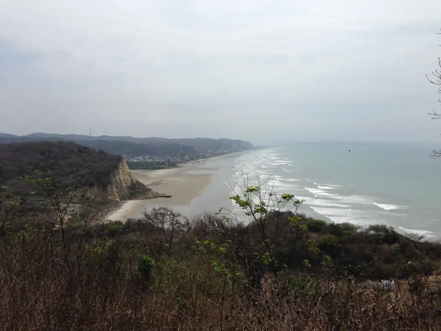
Agua Blanca is a major archaeological site and community located within the Machalilla National Park in the Manabí Province. It is recognized as one of the primary centers of the Manteño culture, which dominated the coastal region between 800 and 1530 AD. Excavations have revealed over 600 ancient structures, including temples, residences, and civic buildings constructed from stone and adobe. A unique feature of the site is the presence of stone U-shaped seats, which served as symbols of power for the ruling elite during ritual gatherings. The Agua Blanca community currently operates a successful community-based tourism project, featuring a museum with artifacts from the Manteño, Machalilla, and Chorrera periods. Beyond the ruins, the location is famous for its natural sulfur lagoon, valued for its medicinal properties. The residents continue to practice traditional craftsmanship and agricultural techniques deeply rooted in their indigenous identity.
- Location: Ecuador
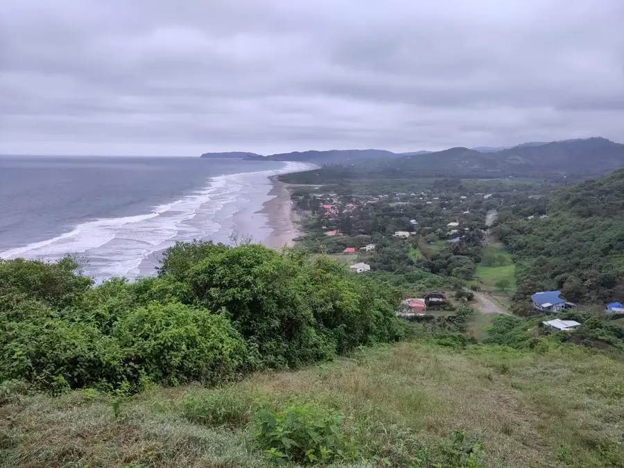
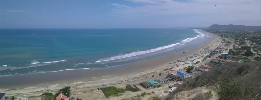
- Top sights: Los Frailes · Parque de la Madre · Cerro El Chuchón
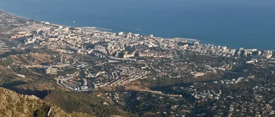
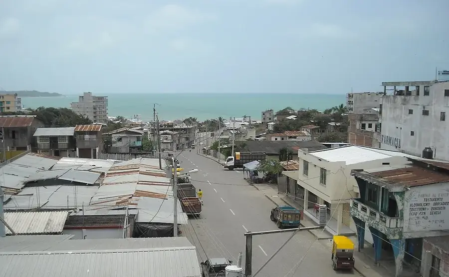
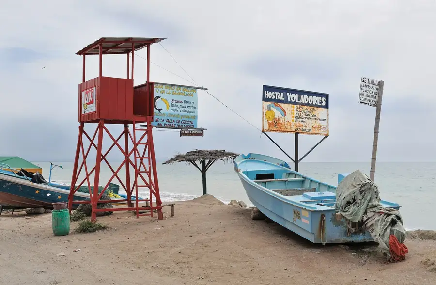
- Nearby: Salango (5 km)
Best time to visit & climate
The most pleasant time to visit is Aug–Oct.
| Jan | Feb | Mar | Apr | May | Jun | Jul | Aug | Sep | Oct | Nov | Dec | |
|---|---|---|---|---|---|---|---|---|---|---|---|---|
| Avg °C | 24 | 25 | 25 | 25 | 24 | 23 | 22 | 21 | 21 | 22 | 22 | 23 |
| Rain mm | 74 | 142 | 140 | 61 | 24 | 6 | 2 | 1 | 1 | 3 | 3 | 17 |
📋 Practical info
Geography
Facts
- Center of the Manteño civilization from 800 to 1530 AD
- Located within Machalilla National Park, established in 1979
- Over 600 stone structures discovered in the complex
- Famous for the carved stone U-shaped ceremonial seats
- The sulfur lagoon reaches a depth of approximately 4 meters
- Houses artifacts dating back up to 5,000 years
Explore nearby
Notable places around
Route planner — Car & Motorhome
Where do you start? We build the route here, with stops and country notes along the way.
© OpenStreetMap contributors · OpenRouteService
Sights in the town Agua Blanca (11)
Sights nearby
Frequently asked questions
What is Agua Blanca?
Is there a medicinal pool?
How much is the entrance fee to the community?
How do you reach Agua Blanca?
What can you see in the museum?
Agua Blanca: where is it located?
Agua Blanca: what is there to see?
Agua Blanca: when is the best time to visit?
Agua Blanca: why is it worth visiting?

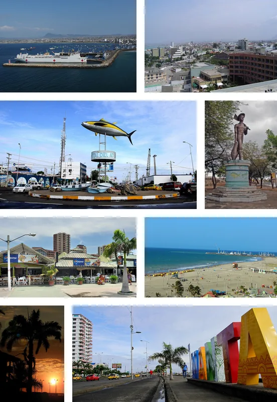
Nearby cities
More places