Plizio Visual Lab
La Libertad

ℹ️Practical info — La Libertad
▾
🌤 Weather — 5 days
📍 Nearby
Sights nearby
💡 Tips
- Enjoy the slow pace of this agricultural town by visiting the main plaza during late afternoons.
- Learn about local coffee production if you meet farmers in the area.
- Small-denomination lempiras are best for buying snacks and drinks from local vendors.
- Be prepared for warm days and cool evenings, typical for this region.
🍽 Food
Grab a freshly made baleada (a stuffed flour tortilla) at the street stands near the center.
Look for coffee grown on the surrounding farms in the small local cafes.
Though typical of El Salvador, they are very popular here; look for pupuserías in the evenings.
🛍 Shopping · 🧘 Quiet spots
The best place to buy seasonal fruits, vegetables, and fresh dairy directly from the producers.
Sometimes local roasters sell small batches of beans directly from the community.
A peaceful area in the center of town, convenient for a break in the shade.
Head slightly out of the center to enjoy walks with views of the surrounding pastures and farmlands.
Water temperature…
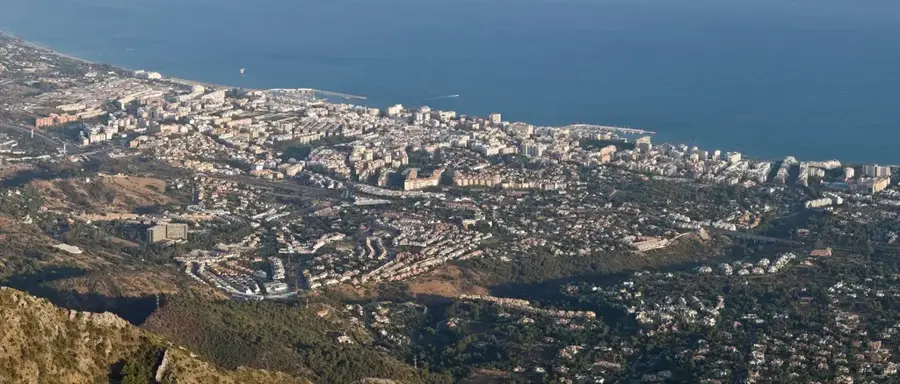
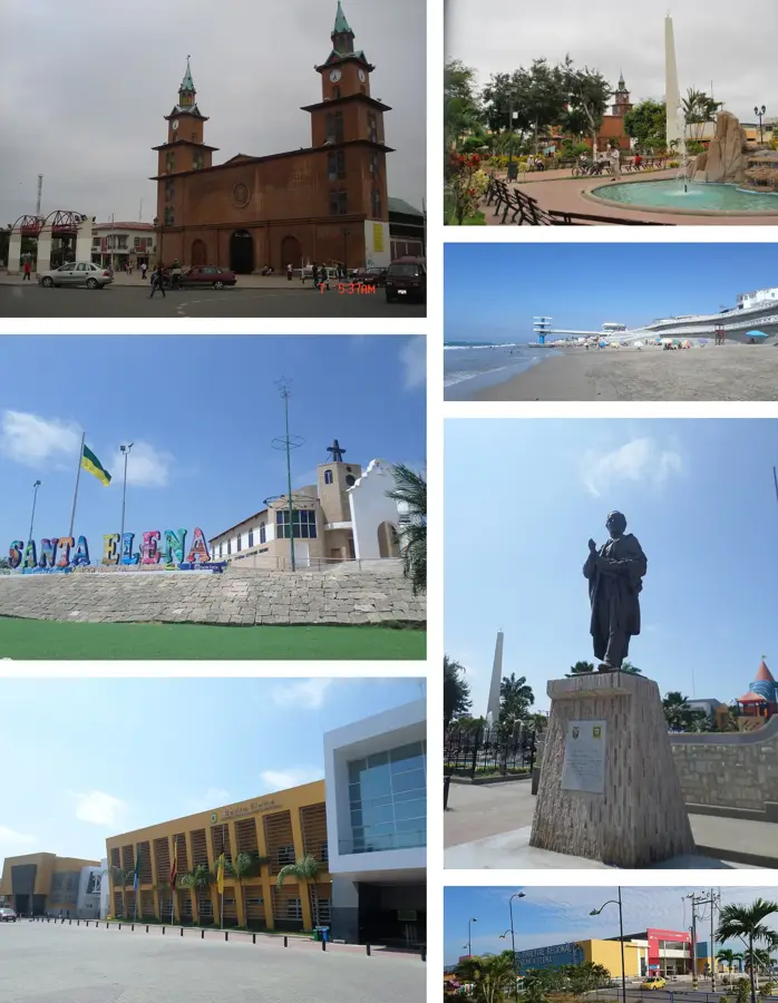
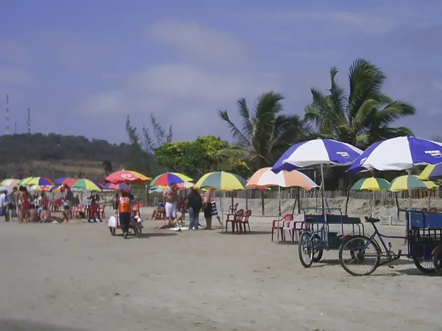
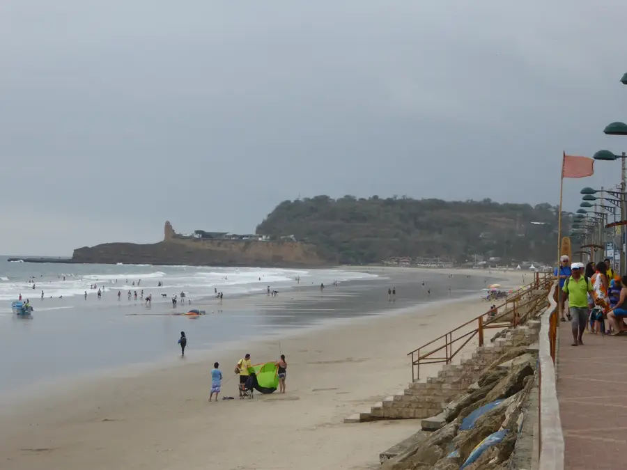
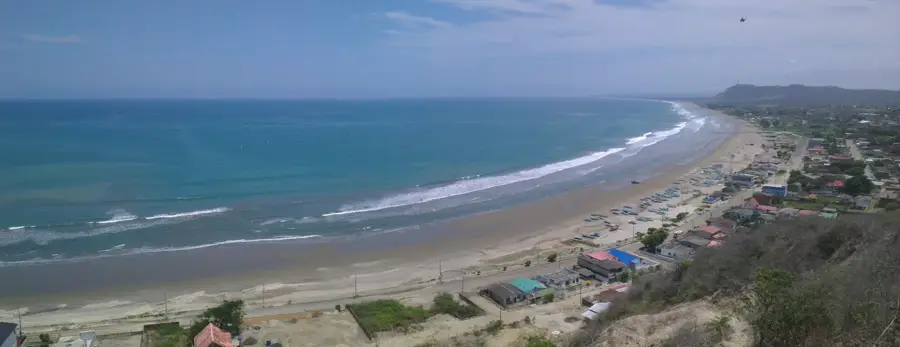
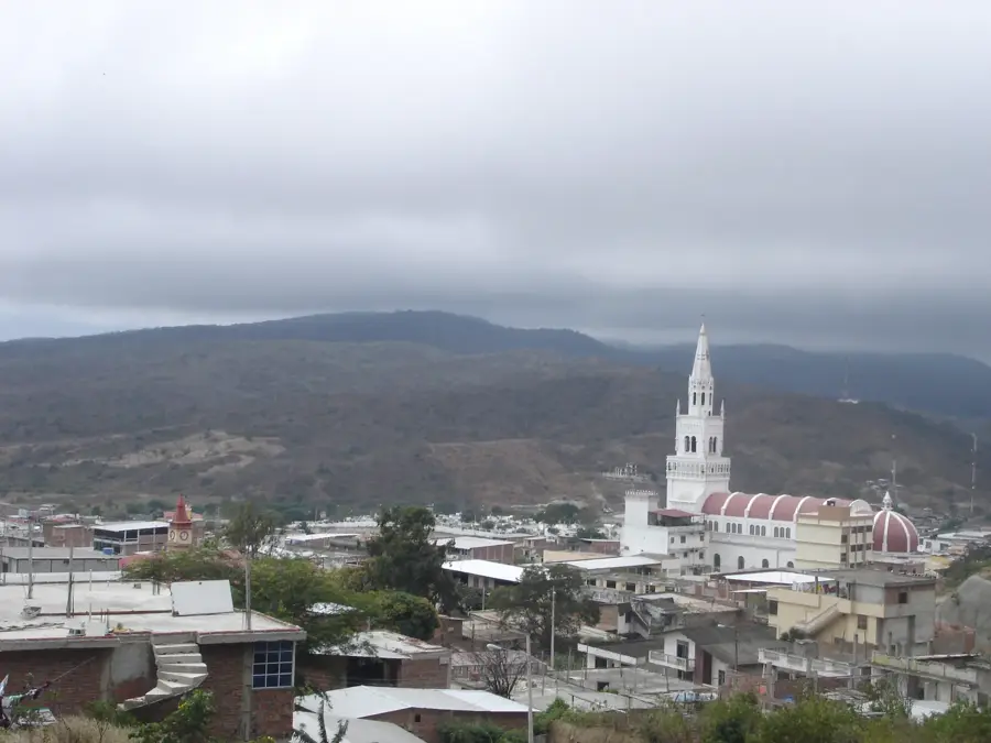
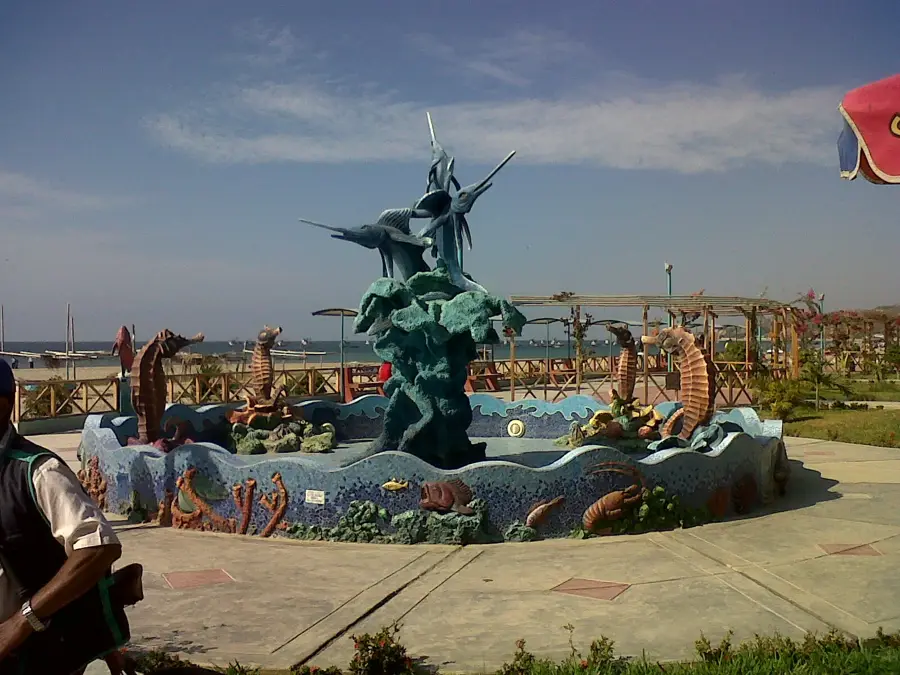
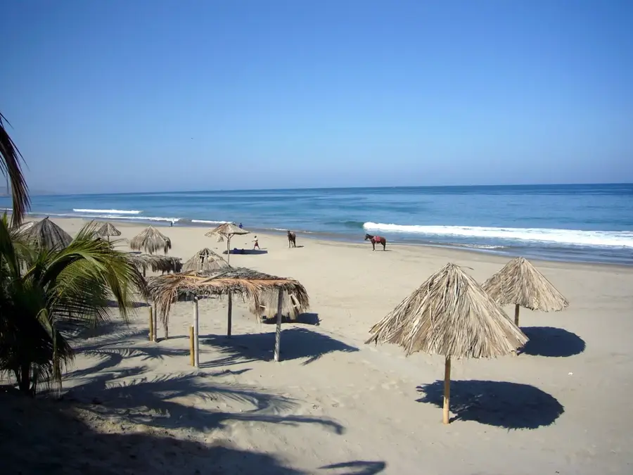
La Libertad, located in the Santa Elena Province along the Pacific coast, is a vital economic center on the Santa Elena Peninsula. The city serves as the primary port for the region and houses a major oil terminal and refinery facilities that are crucial for the country's energy supply. Originally part of the Santa Elena canton, La Libertad achieved political independence in 1993 and has since experienced rapid urban growth. The city's economy is heavily driven by the petroleum industry, commerce, and fishing, with its local market being one of the most spirited on the coast. Geographically, it benefits from its proximity to popular seaside resorts like Salinas, yet La Libertad functions more as a commercial hub than a primary tourist destination. The dry climate and the ocean breeze define the daily life of its residents, which is closely tied to the rhythm of the port. In recent years, significant investments have been made in urban infrastructure and the waterfront promenade to enhance the quality of life.
- Location: Ecuador
- Top sights: La Libertad · Sailing Ecuador · Museo Casaleón
- Nearby: Santa Elena (6 km)
- Population: ~75.881 (2013)
Best time to visit & climate
The most pleasant time to visit is Aug–Oct.
| Jan | Feb | Mar | Apr | May | Jun | Jul | Aug | Sep | Oct | Nov | Dec | |
|---|---|---|---|---|---|---|---|---|---|---|---|---|
| Avg °C | 24 | 25 | 25 | 24 | 23 | 22 | 21 | 21 | 21 | 21 | 22 | 23 |
| Rain mm | 61 | 136 | 140 | 59 | 21 | 5 | 2 | 1 | 1 | 3 | 3 | 13 |
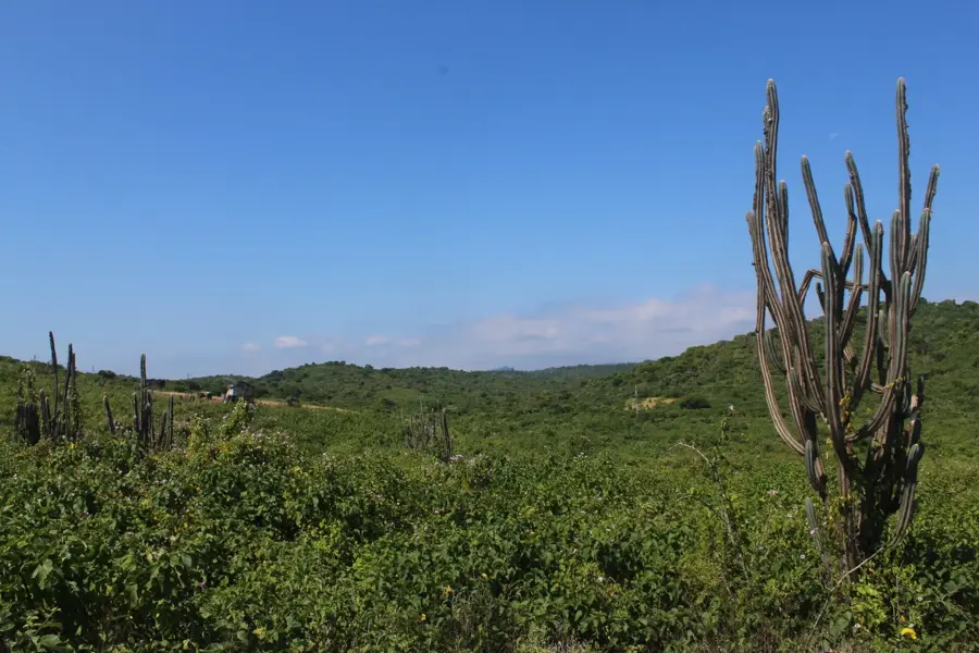
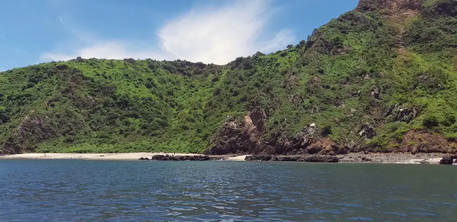
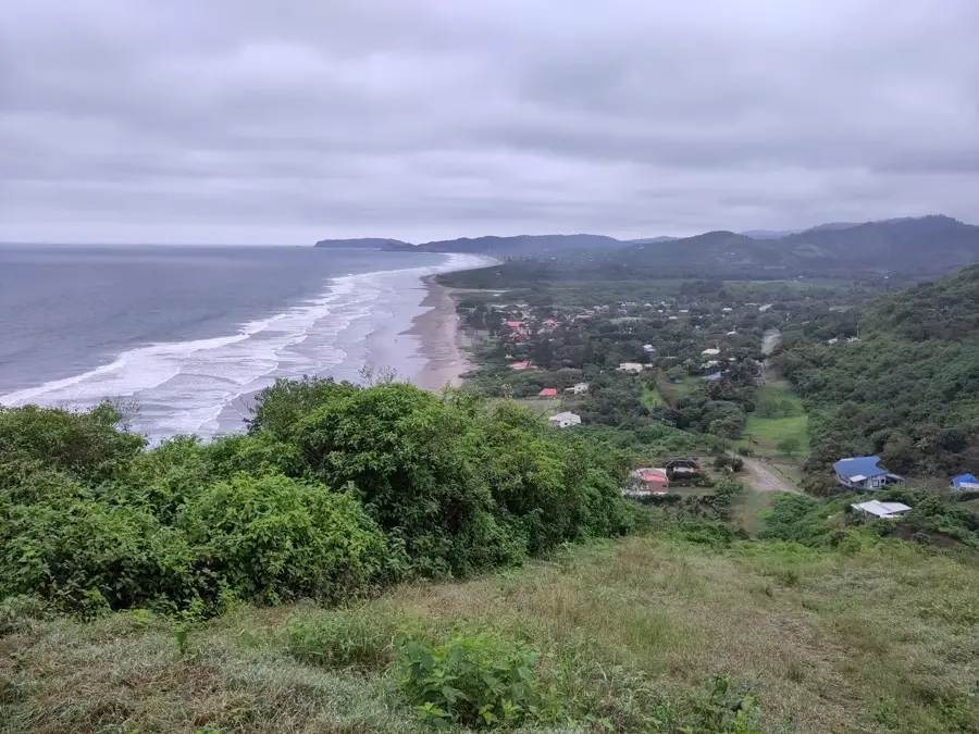
Geography
Facts
- Officially established as an independent canton on April 14, 1993.
- Home to a critical terminal for crude oil imports and exports.
- Boasts the busiest commercial market on the Santa Elena Peninsula.
- The region's primary port for artisanal fishing fleets.
- Located in one of the driest coastal regions of Ecuador.
- Formerly known as 'La Aguanza' before its renaming.
Explore nearby
Notable places around
Route planner — Car & Motorhome
Where do you start? We build the route here, with stops and country notes along the way.
© OpenStreetMap contributors · OpenRouteService
Sights in the town La Libertad (12)
Sailing Ecuador📍 landmark
Sailing Ecuador is a local attraction in La Libertad offering organized nautical excursions and sailing experiences along the Pacific coast.
Frequently asked questions
What is the main role of the city of La Libertad?
What products are grown here?
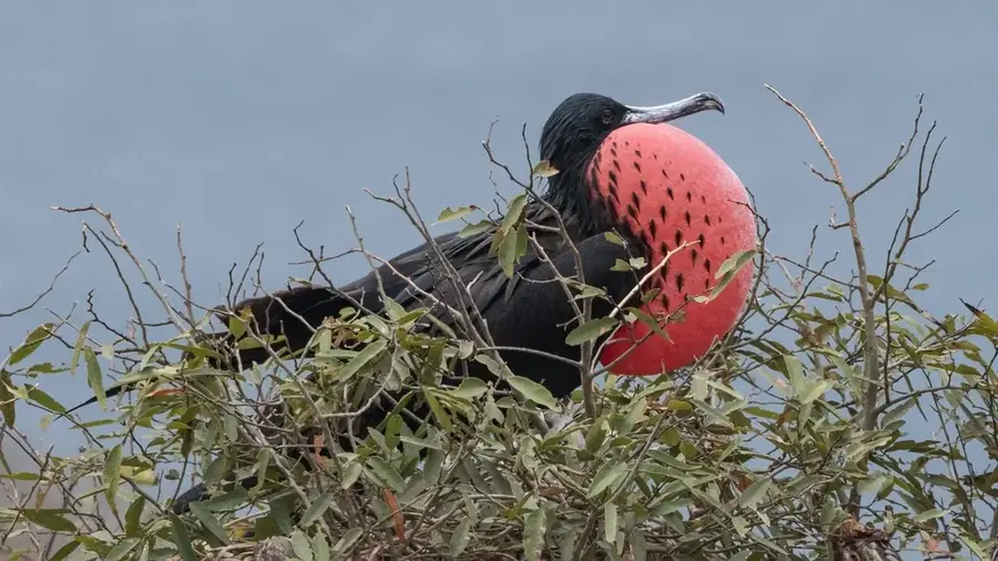
Are there natural attractions?
How is the weather in La Libertad?
Is the city well-connected?
La Libertad: where is it located?
La Libertad: what is there to see?
La Libertad: when is the best time to visit?
La Libertad: why is it worth visiting?

Nearby cities

More places