Plizio Visual Lab
Los Haitises Coast

Weather…
Water temperature…
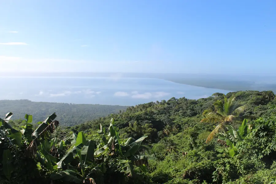
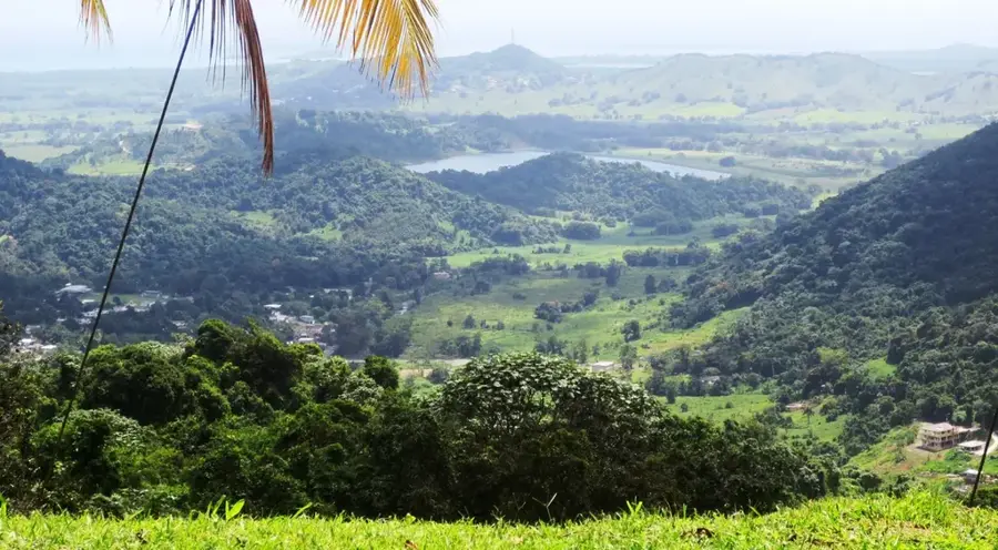
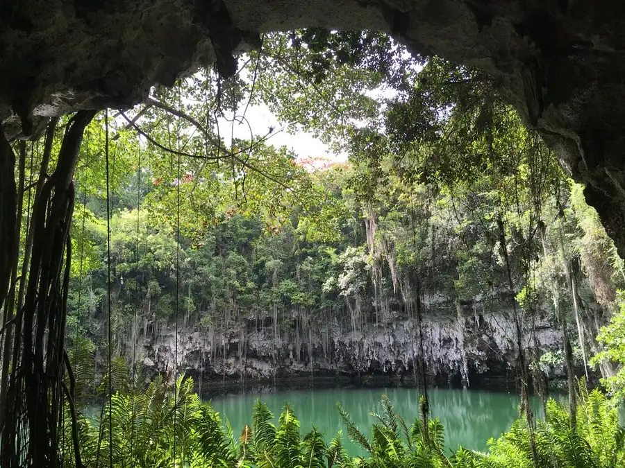
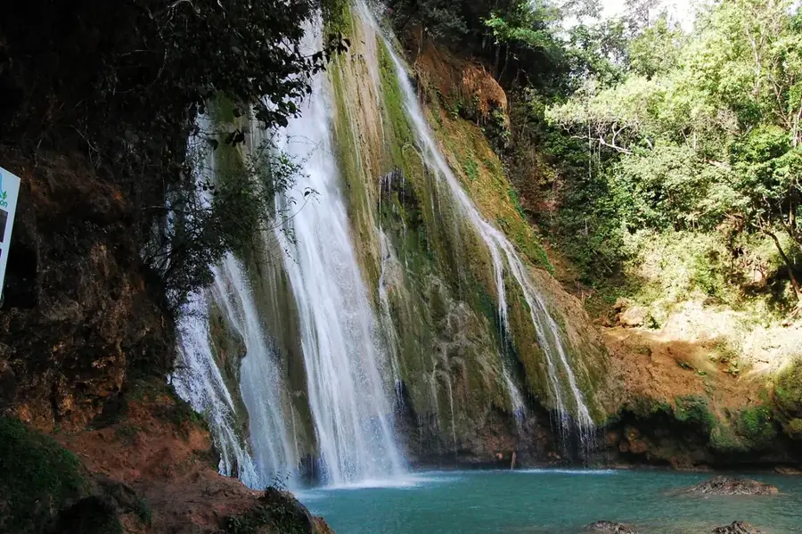
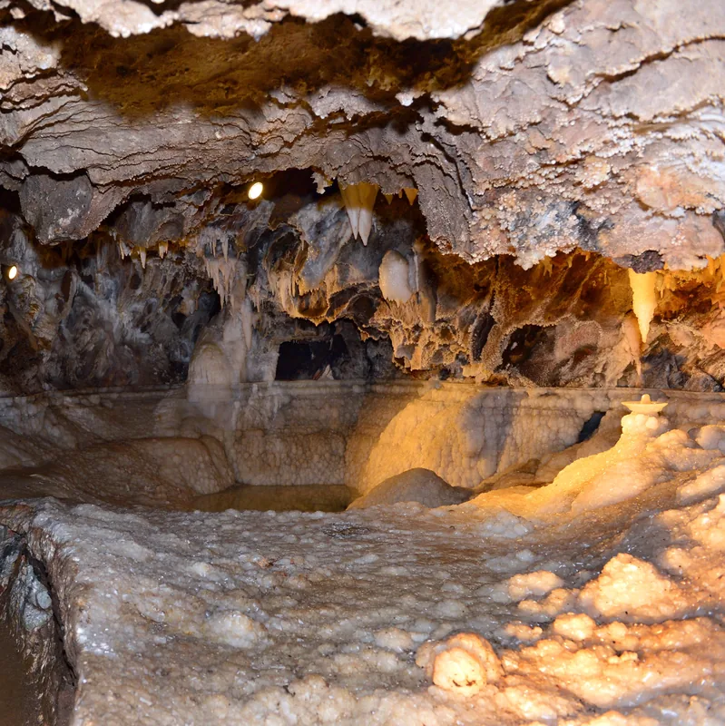
The Los Haitises Coast is located in the northeastern Dominican Republic and forms the heart of the national park established in 1976. The region is globally renowned for its spectacular karst topography, consisting of hundreds of conical limestone hills known as 'mogotes' that rise up to 40 meters out of the sea. Geologically, this landscape was created by the weathering of Miocene-era limestone deposits. The coastline is fringed by the largest continuous mangrove forests in the Caribbean, forming a complex network of channels and bays such as the Bahía de San Lorenzo. These wetlands are critical nesting grounds for numerous bird species, including pelicans, frigatebirds, and the critically endangered Hispaniolan hawk. Significant petroglyphs and pictograms from the indigenous Taíno culture are found within the many coastal caves. The park is accessible only by boat from Samaná or Sabana de la Mar, which helps maintain the preservation of this fragile ecosystem.
- Location: Dominican Republic
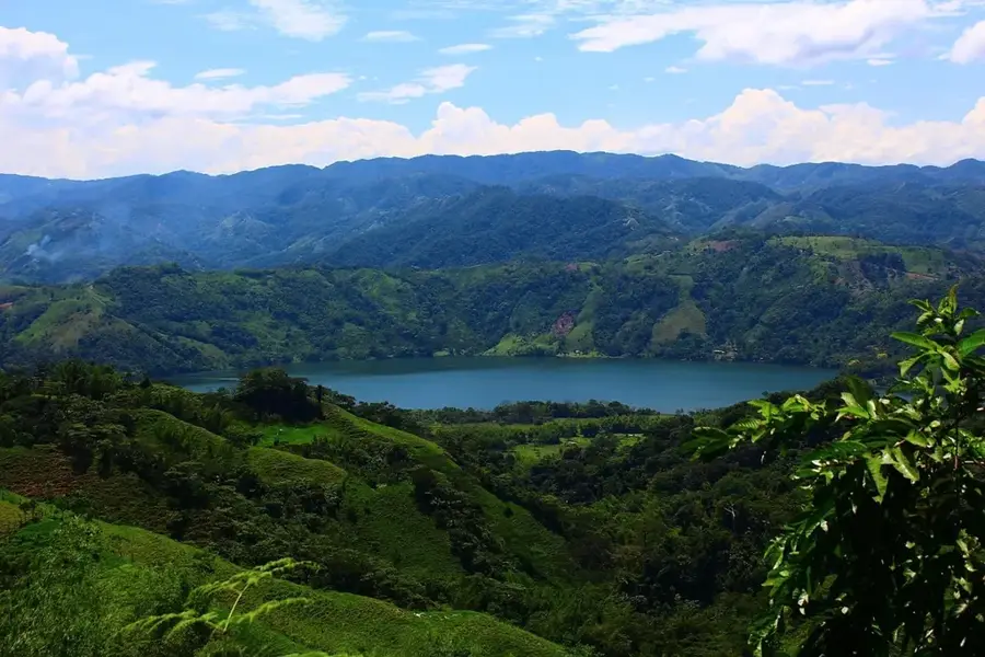
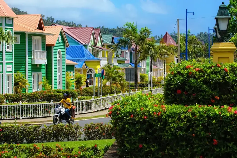
- Nearby: El Valle (5 km)
Best time to visit & climate
The most pleasant time to visit is Jan–Mar.
| Jan | Feb | Mar | Apr | May | Jun | Jul | Aug | Sep | Oct | Nov | Dec | |
|---|---|---|---|---|---|---|---|---|---|---|---|---|
| Avg °C | 25 | 25 | 25 | 26 | 27 | 28 | 28 | 28 | 28 | 27 | 26 | 25 |
| Rain mm | 45 | 32 | 32 | 50 | 81 | 46 | 63 | 68 | 70 | 67 | 83 | 57 |
📋 Practical info
Geography
Facts
- Los Haitises National Park was formally created in 1976.
- Features hundreds of unique karst hills called mogotes.
- Contains the most extensive mangrove forest in the Caribbean.
- Primary refuge for the endangered Hispaniolan hawk.
- Includes the ecologically rich San Lorenzo Bay.
- Home to diverse Taino petroglyphs in limestone caves.
- Accessible primarily by boat from Samaná or Sabana de la Mar.
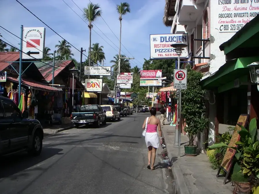
Explore nearby
Notable places around
Route planner — Car & Motorhome
Where do you start? We build the route here, with stops and country notes along the way.
© OpenStreetMap contributors · OpenRouteService
Sights nearby
Frequently asked questions
What can you see on the Los Haitises coast?
How to get there?
Can you visit the caves?
Are there beaches there?
What birds live there?
Los Haitises Coast: where is it located?
Los Haitises Coast: when is the best time to visit?
Los Haitises Coast: why is it worth visiting?

Nearby cities

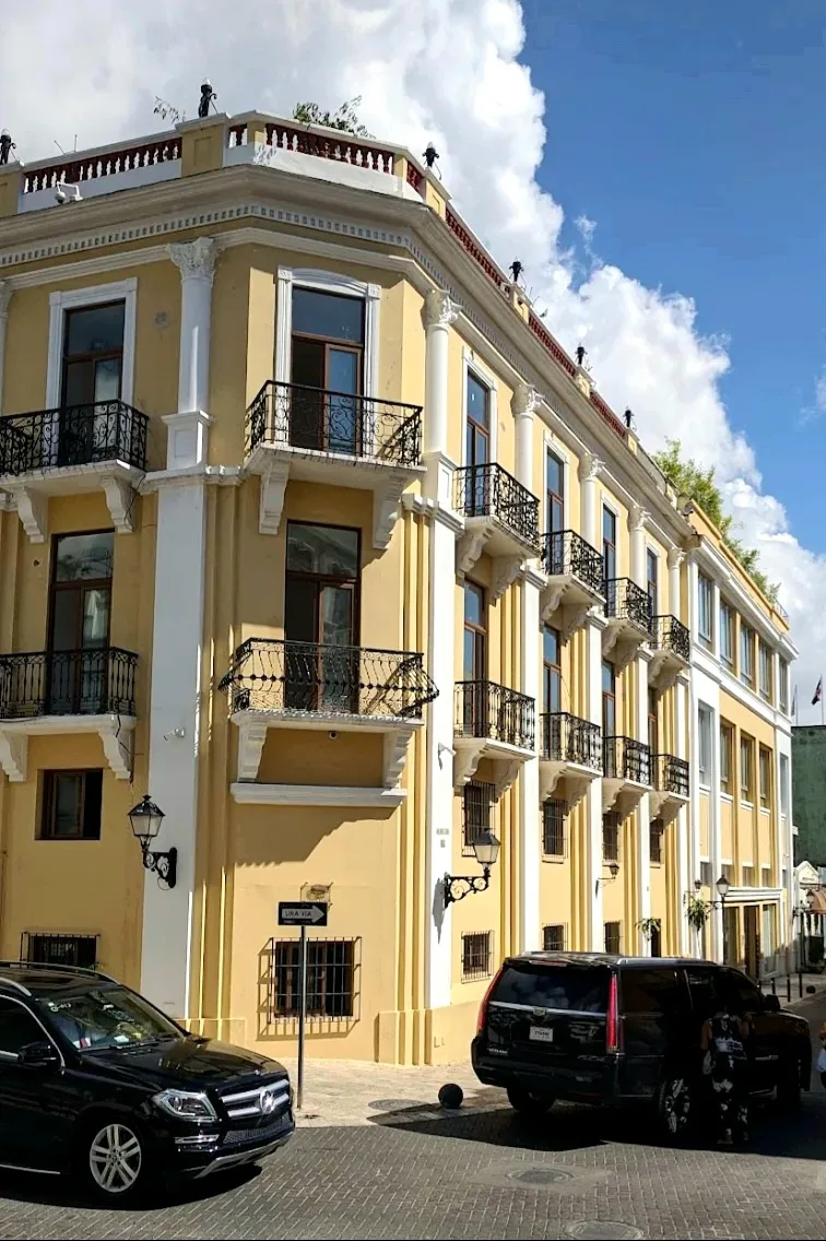

History & landmarks
Nature
More places