Plizio Visual Lab
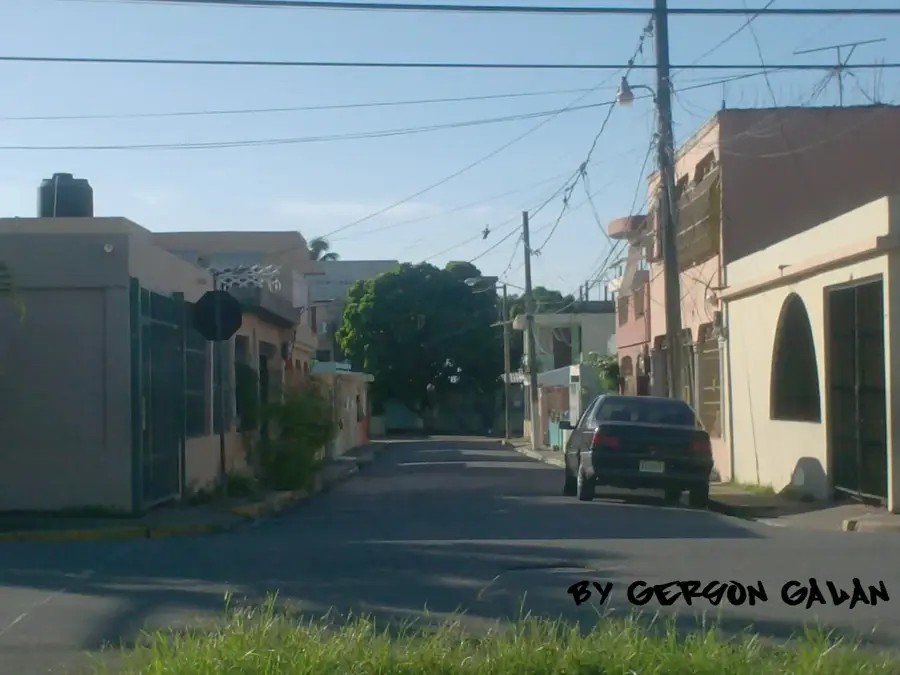
Arenoso

ℹ️Practical info — Arenoso
▾
🌤 Weather — 5 days
📍 Nearby
Sights nearby
💡 Tips
- Visit the vast rice fields early in the morning for the best lighting and to see local agriculture in action.
- The town is small and best explored on foot or by local motoconcho (motorcycle taxi); agree on the fare beforehand.
- Carry cash in small denominations (Dominican pesos), as card payments are rare in smaller shops here.
- Rain showers can be sudden, especially in the afternoon, so carrying a lightweight poncho is a good idea.
🍽 Food
Enjoy this local rice and chicken dish at a typical 'comedor' (local diner) near the main road.
Look for this hearty traditional meat and root vegetable stew in family-run restaurants, often served on weekends.
Buy sweet, locally grown pineapples and bananas from street vendors around the town center.
🛍 Shopping · 🧘 Quiet spots
As a major rice-producing area, buying locally processed rice from a town grocery store guarantees freshness.
Pick up everyday snacks, cold drinks, and Dominican coffee from a local colmado, the heart of community shopping.
Take a peaceful walk along the edges of the paddy fields just outside the town center.
Rest on a bench in the modest central park, a calm spot to observe local daily life.
Water temperature…
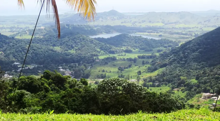
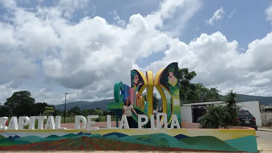
Arenoso is a strategically important municipality located in the eastern part of the Duarte province in the Dominican Republic. It lies in the lower basin of the Yuna River, one of the country's most water-rich regions, making it one of the premier centers for rice cultivation. The municipality was officially established on January 1, 1994, having previously been part of the municipality of Villa Riva. Due to its geographic location, Arenoso is periodically affected by the flooding of the Yuna River, which simultaneously contributes to the extreme fertility of its alluvial soils. The economy is almost exclusively geared towards agribusiness, with modern rice mills characterizing the local landscape. In addition to rice, cocoa and bananas are also produced in the higher-lying areas. The proximity to Los Haitises National Park gives ecological potential, although the primary focus remains on large-scale food production. The municipality serves as a vital supply hub for the northeastern region and is well-connected to long-distance traffic via the Autovía del Nordeste highway.
- Location: Dominican Republic
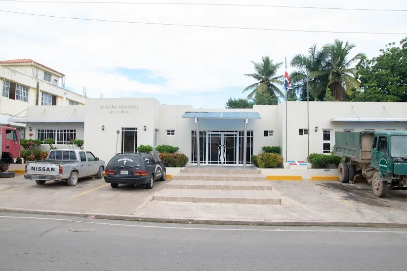
- Nearby: Villa Riva (6 km)
- Population: ~2.897 (2016)
Best time to visit & climate
The most pleasant time to visit is Jan–Mar.
| Jan | Feb | Mar | Apr | May | Jun | Jul | Aug | Sep | Oct | Nov | Dec | |
|---|---|---|---|---|---|---|---|---|---|---|---|---|
| Avg °C | 24 | 24 | 25 | 26 | 27 | 28 | 28 | 28 | 28 | 27 | 26 | 25 |
| Rain mm | 35 | 25 | 29 | 41 | 62 | 39 | 50 | 55 | 56 | 54 | 71 | 50 |
Geography
Facts
- Arenoso became an independent municipality on January 1, 1994.
- The town is located in the catchment area of the Yuna River, the country's second longest river.
- Rice is the most significant agricultural product of the region.
- The municipality borders Los Haitises National Park to the southeast.
- Annual rainfall in this area is among the highest in the Dominican Republic.
- A major transport artery is the Autovía del Nordeste (Juan Pablo II) highway.
Explore nearby
Notable places around
Route planner — Car & Motorhome
Where do you start? We build the route here, with stops and country notes along the way.
© OpenStreetMap contributors · OpenRouteService
Frequently asked questions
What is the geographical location of Arenoso?
Why is the place called Arenoso?
What role does rice cultivation play for visitors?
Is the area suitable for nature photography?
How do you get to Arenoso?
Arenoso: where is it located?
Arenoso: when is the best time to visit?
Arenoso: why is it worth visiting?

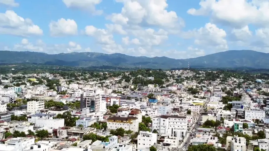
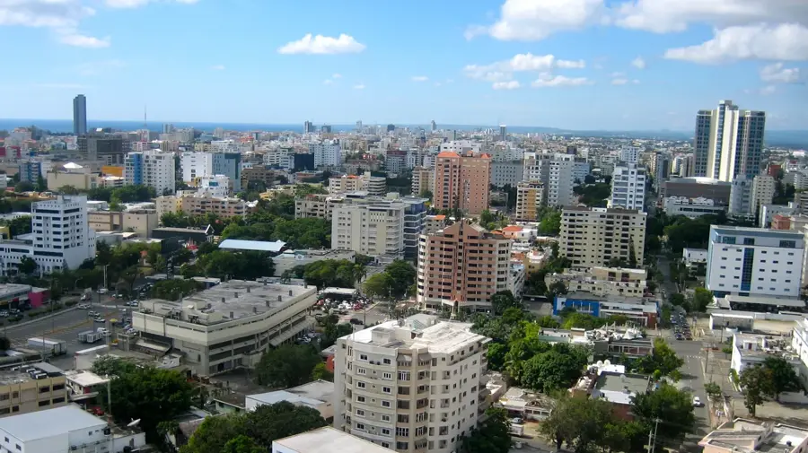
Nearby cities
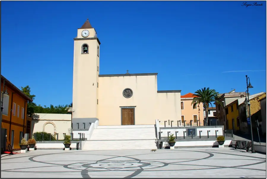
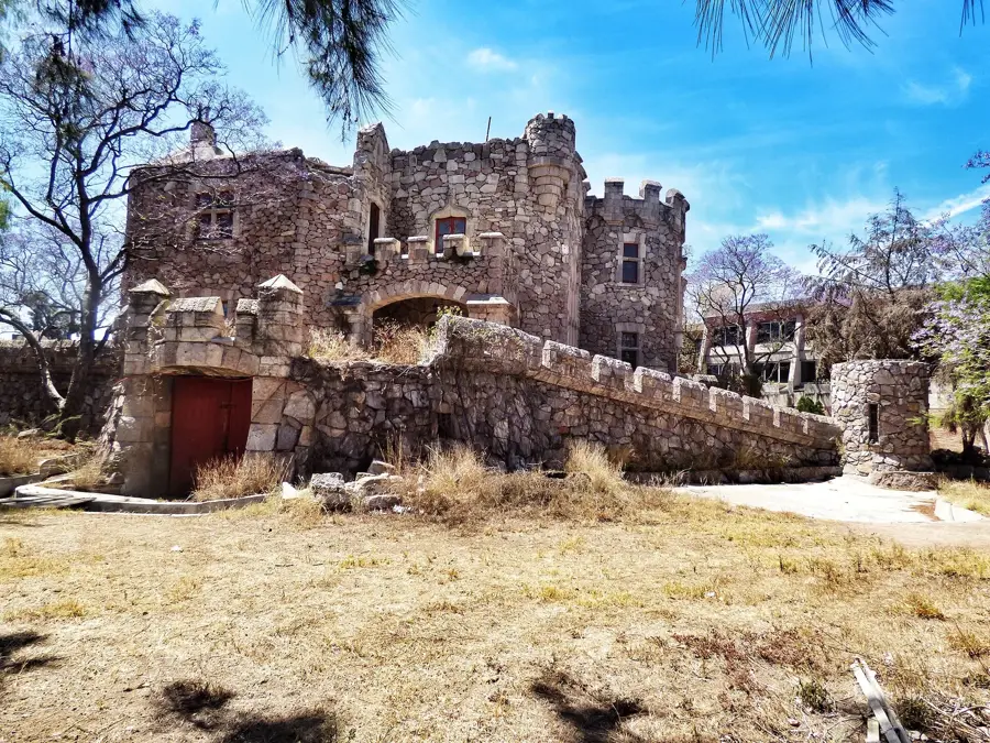


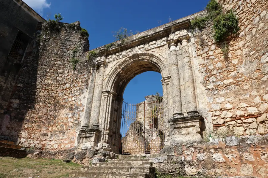
History & landmarks


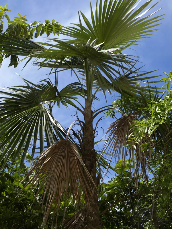
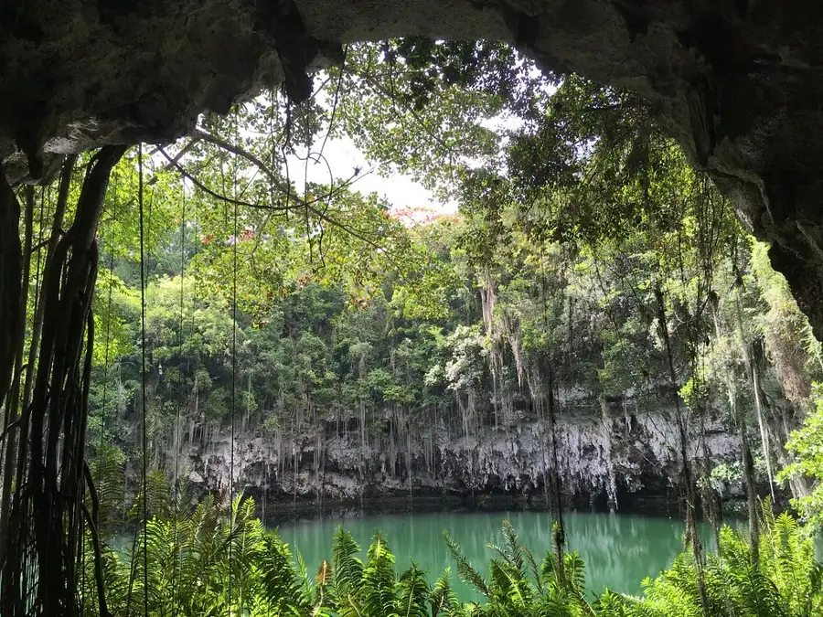
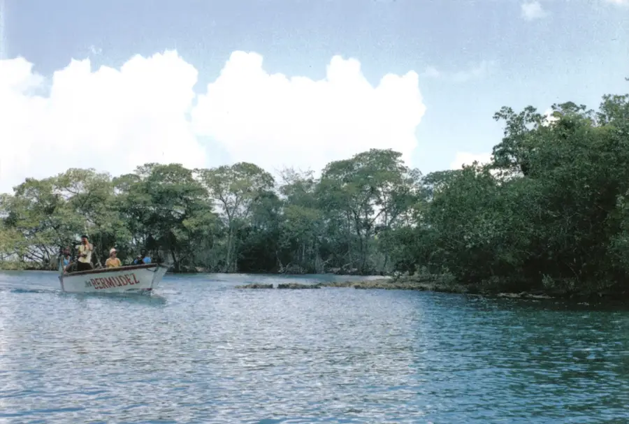
Nature
More places