Plizio Visual Lab
Los Haitises Hills

Weather…
Water temperature…
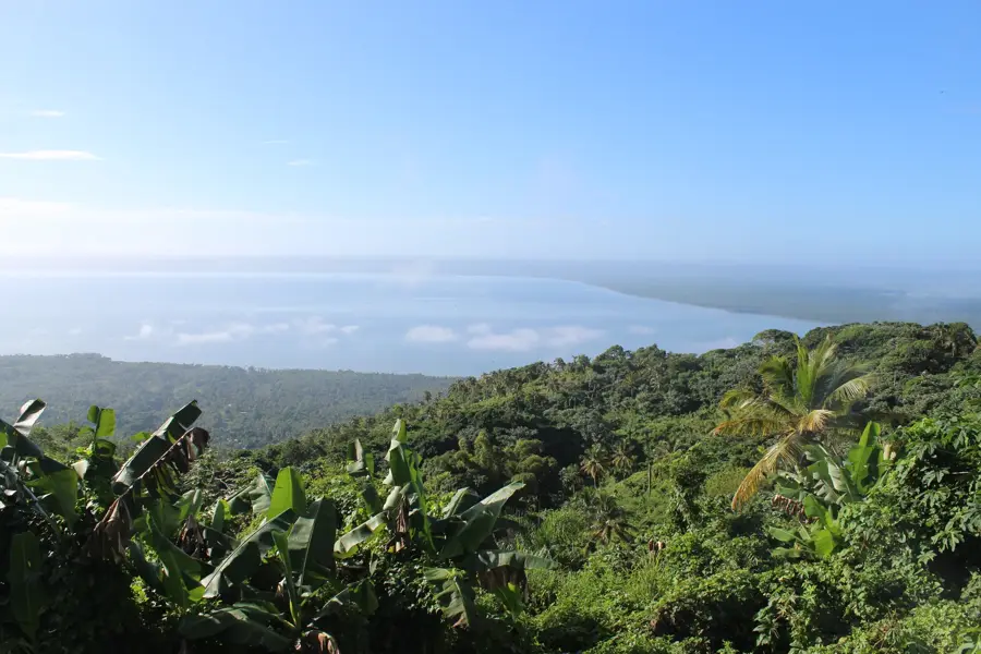
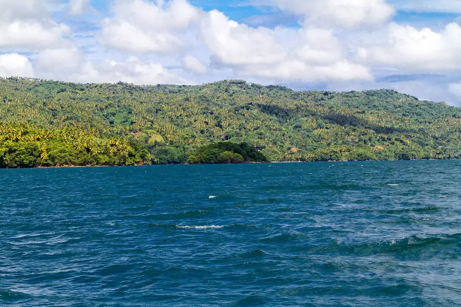
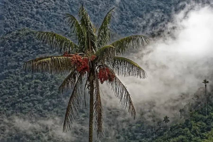
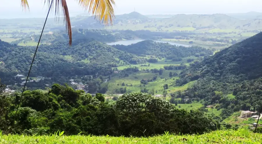
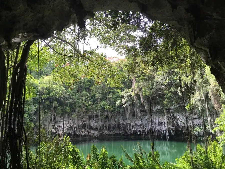
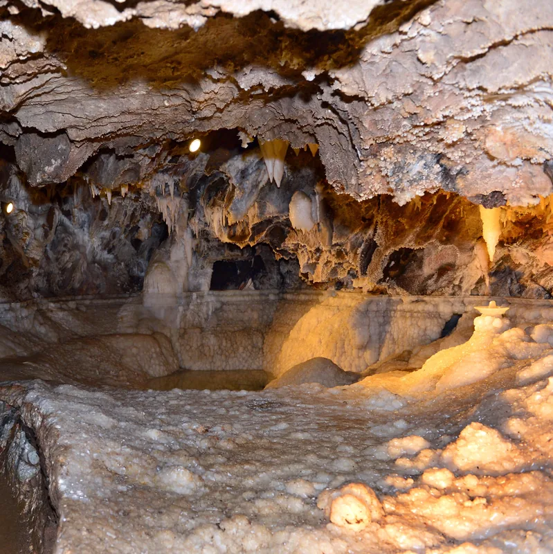
The Los Haitises Hills are located in the northeastern Dominican Republic and are world-renowned for their distinctive tropical karst geomorphology. 'Los Haitises' means 'high land' or 'hilly land' in the Taino language, accurately describing the landscape of hundreds of conical limestone hills known as mogotes. These hills rise up to 40 meters from the water or the surrounding plain, enveloped by dense mangrove forests and subtropical rainforests. The area comprises Los Haitises National Park, established in 1976, which protects an area of over 600 square kilometers. Within the region's numerous caves, such as Cueva de la Arena, valuable Taino petroglyphs and pictograms can be found. Ecologically, Los Haitises is a sanctuary for rare birds like the Ridgway’s hawk and features complex ecosystems including estuaries, seagrass beds, and coral reefs.
- Location: Dominican Republic
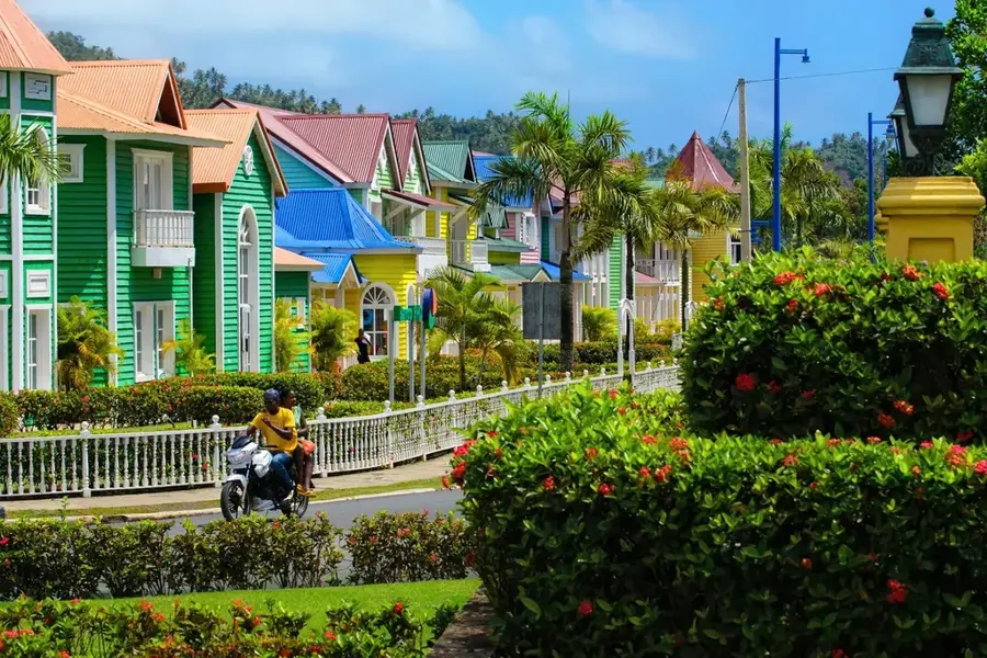
- Nearby: Sabana de la Mar (13 km)
Best time to visit & climate
The most pleasant time to visit is Jan–Mar.
| Jan | Feb | Mar | Apr | May | Jun | Jul | Aug | Sep | Oct | Nov | Dec | |
|---|---|---|---|---|---|---|---|---|---|---|---|---|
| Avg °C | 25 | 25 | 25 | 26 | 27 | 28 | 28 | 28 | 28 | 27 | 26 | 25 |
| Rain mm | 45 | 32 | 32 | 50 | 81 | 46 | 63 | 68 | 70 | 67 | 83 | 57 |
📋 Practical info
Geography
Facts
- Los Haitises National Park was officially established in 1976.
- The conical hills are geologically classified as mogotes.
- The region encompasses a protected area of approximately 600 km².
- It contains the largest continuous mangrove system on the island.
- Taino people left pictograms in caves like Cueva de la Línea.
- Over 200 bird species have been documented in this area.
Explore nearby
Notable places around
Route planner — Car & Motorhome
Where do you start? We build the route here, with stops and country notes along the way.
© OpenStreetMap contributors · OpenRouteService
Sights nearby
Frequently asked questions
What are the Los Haitises hills?
What is this hill shape called?
Why does it rain so much there?
Can you climb the hills?
What can be found between the hills?
Los Haitises Hills: where is it located?
Los Haitises Hills: when is the best time to visit?
Los Haitises Hills: why is it worth visiting?

Nearby cities


History & landmarks
Nature
More places