Plizio Visual Lab
Port of Barahona

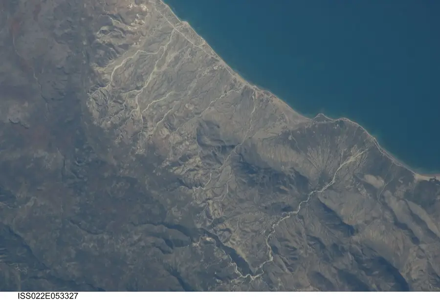
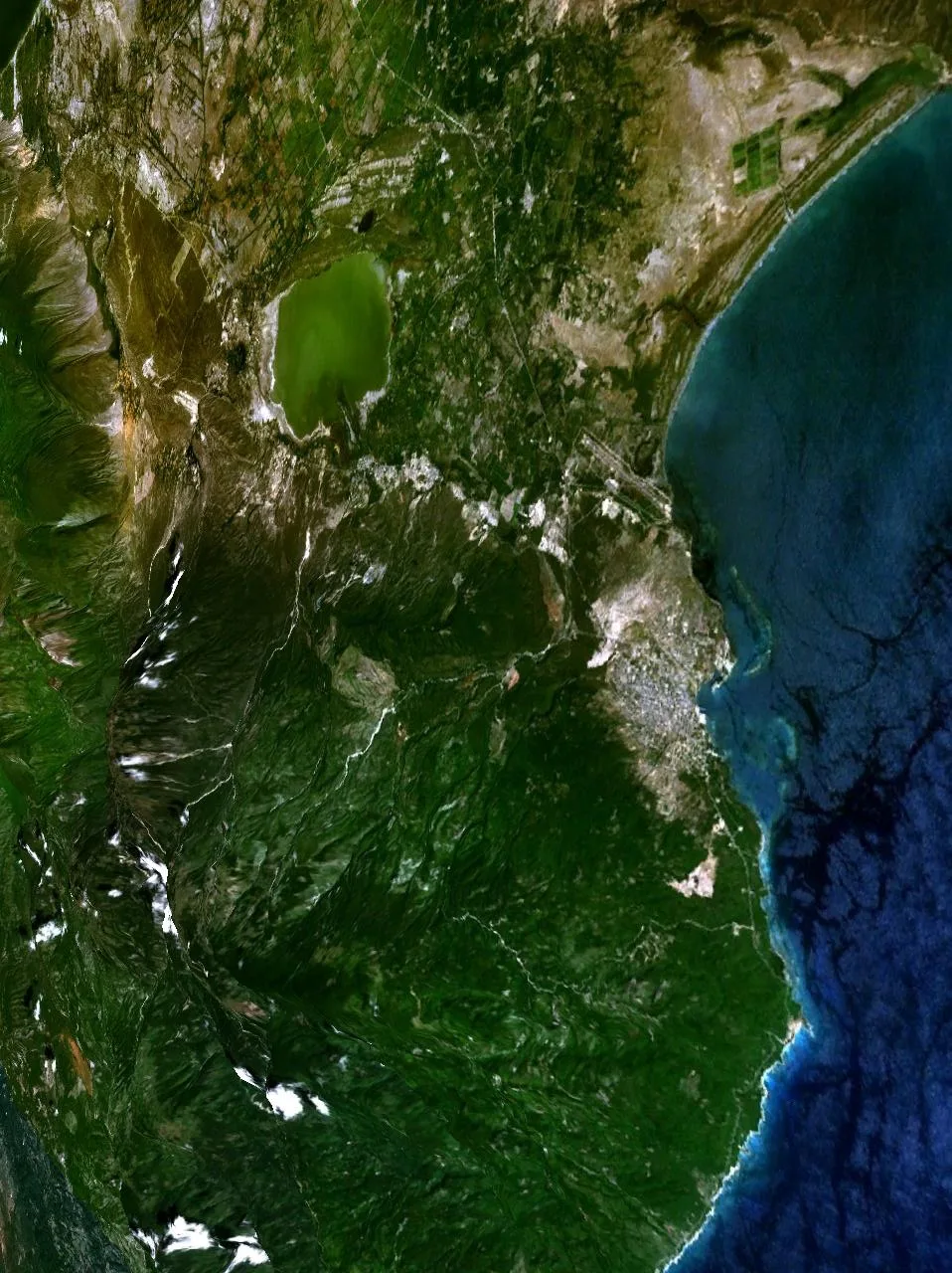
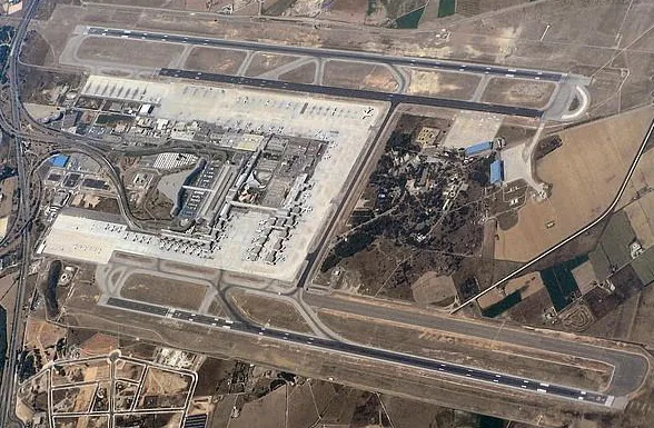
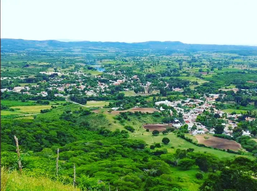
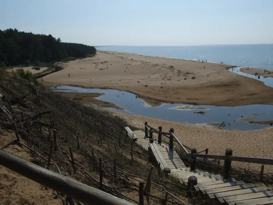
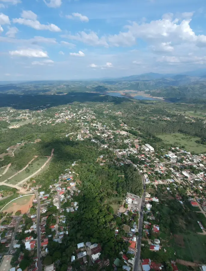
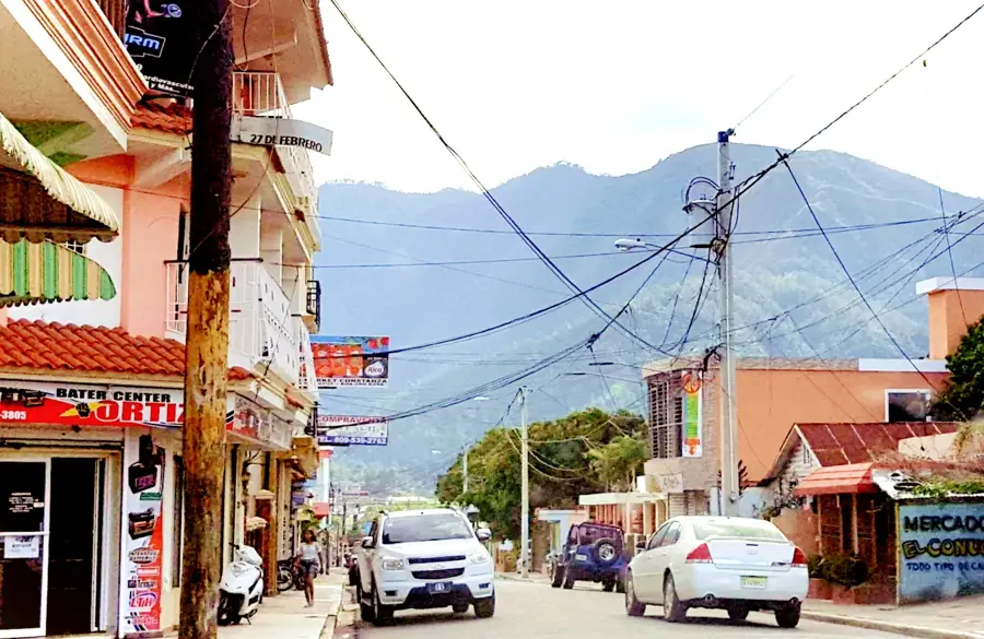
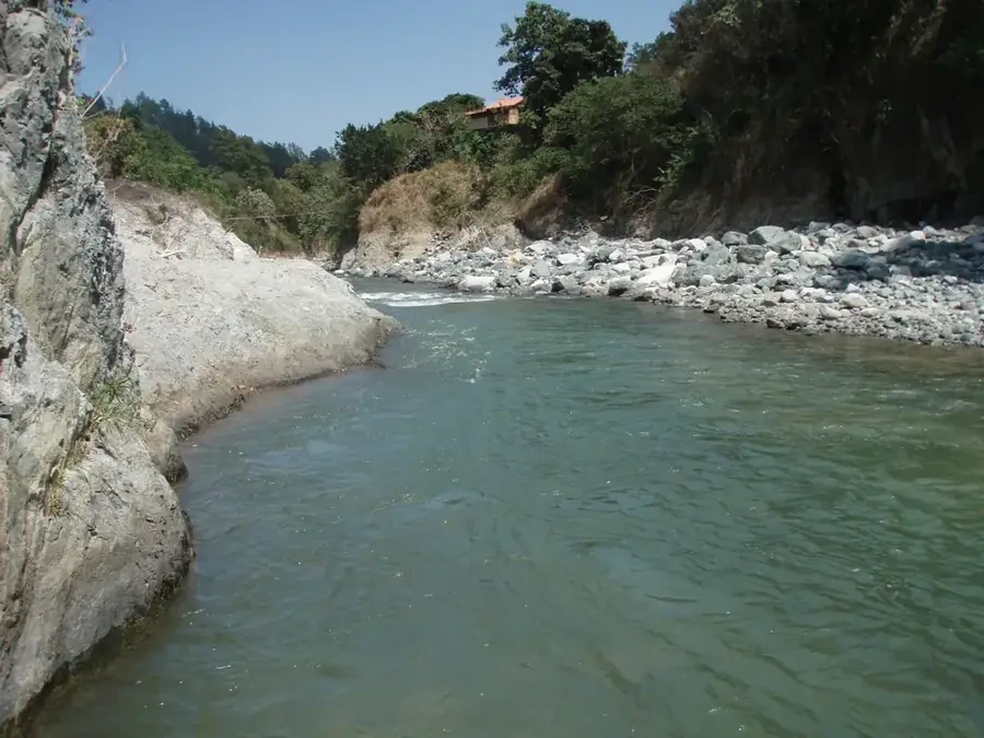
The Port of Barahona is a specialized industrial port in the southwest of the Dominican Republic, located within the natural Neiba Bay. Due to its geographic setting, it serves as the primary export point for the region's mineral resources, particularly gypsum, salt, and limestone. The port facilities are designed to handle bulk carriers transporting these raw materials to international markets. In addition to minerals, Barahona's port is used for exporting sugar from nearby plantations, highlighting the historical significance of the sugar industry in the area. The port provides natural protection against rough seas, making it a reliable southern anchorage. In recent years, expansion plans have been discussed to promote cruise tourism within the Enriquillo region. Despite its primarily industrial function, the area surrounding the port is known for its scenic beauty, where verdant mountains meet the turquoise sea. Modernizing the port's infrastructure is seen as a key factor for the economic revitalization of the southwest.
- Location: Dominican Republic
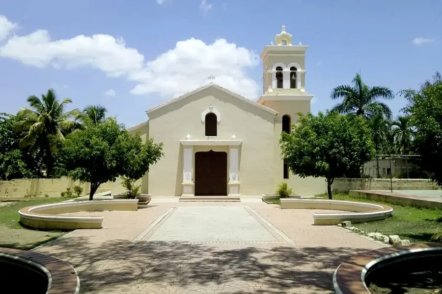
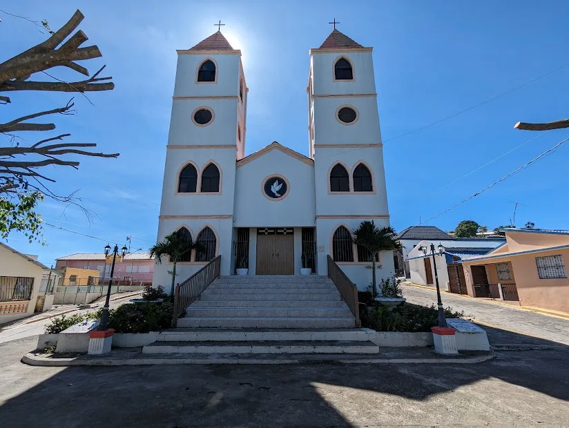
- Top sights: Diocese of Barahona · Barahona, Dominican Republic · Barahona Province
- Nearby: Sabana Yegua (16 km)
Best time to visit & climate
The most pleasant time to visit is Jan–Mar.
| Jan | Feb | Mar | Apr | May | Jun | Jul | Aug | Sep | Oct | Nov | Dec | |
|---|---|---|---|---|---|---|---|---|---|---|---|---|
| Avg °C | 24 | 24 | 24 | 25 | 25 | 26 | 26 | 26 | 26 | 26 | 25 | 24 |
| Rain mm | 24 | 21 | 33 | 44 | 73 | 56 | 57 | 87 | 60 | 101 | 97 | 38 |
📋 Practical info
Geography
Facts
- Barahona is the only port in the south that exports large volumes of gypsum.
- The port is situated in one of the deepest natural bays in the Caribbean.
- The facility was originally constructed for the export of raw sugar.
- Barahona features a pier capable of accommodating ships up to 200 meters long.
- The port is managed by the national port authority, APORDOM.
- It plays a central role in supporting the local cement industry.
Explore nearby
Notable places around
Route planner — Car & Motorhome
Where do you start? We build the route here, with stops and country notes along the way.
© OpenStreetMap contributors · OpenRouteService
Sights in the town Port of Barahona (3)
Sights nearby
Frequently asked questions
What goods are exported in Barahona?
Can you see ships in the harbor?
Are there cruises to Barahona?
What is the water depth?
Is the port centrally located?
Port of Barahona: where is it located?
Port of Barahona: what is there to see?
Port of Barahona: when is the best time to visit?
Port of Barahona: why is it worth visiting?

Nearby cities


History & landmarks
Nature
More places