Plizio Visual Lab
Rind Bakkekam
Rind Bakkekam is a prominent glacial ridge located south of Herning in Central Jutland, forming part of an extensive ancient relief system. Unlike many eastern Danish landscapes, this formation dates back to the Saale glaciation, over 120,000 years ago, making it significantly older than the Weichselian moraines. The ridge consists of sandy sediments and gravel deposited by massive meltwater currents that flowed when the area sat just beyond the reach of later ice sheets. It provides an elevated vantage point over the characteristically flat heathlands and agricultural plains of western Jutland. Historically, the area was defined by the 19th-century movement to reclaim and farm the vast heathlands, a task complicated by the nutrient-poor sandy soil. Today, Rind Bakkekam is a valuable recreational site with trails that highlight the region's unique geological history. The modern vegetation features coniferous plantations, originally established as windbreaks to prevent soil erosion in this exposed landscape.
- Location: Denmark
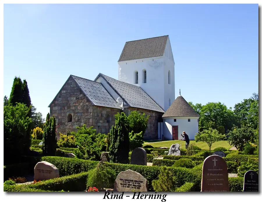
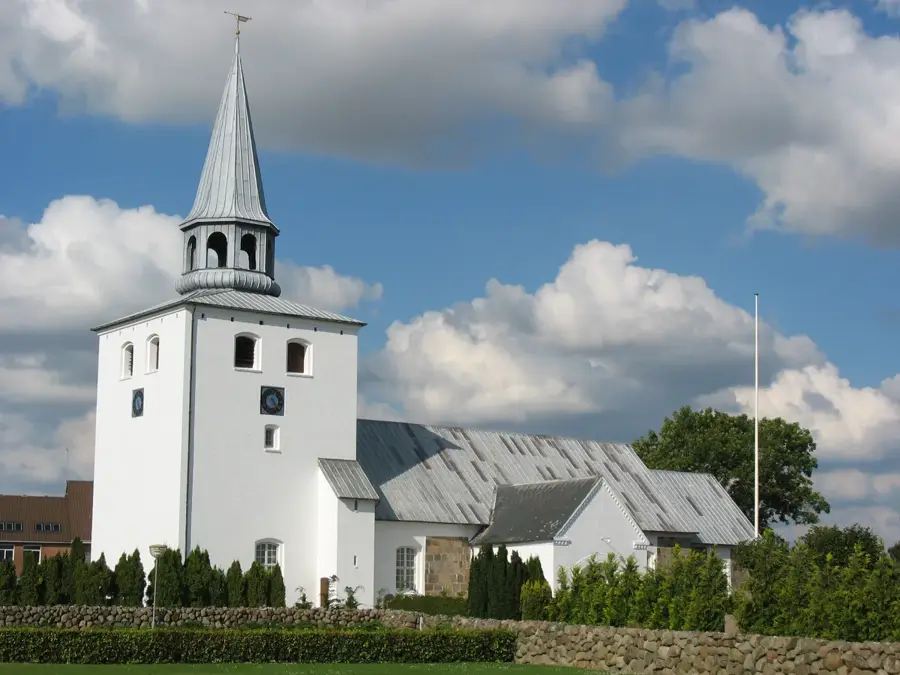
- Top sights: Rind Kirke · Mørupstenen · Studsgård Kirke
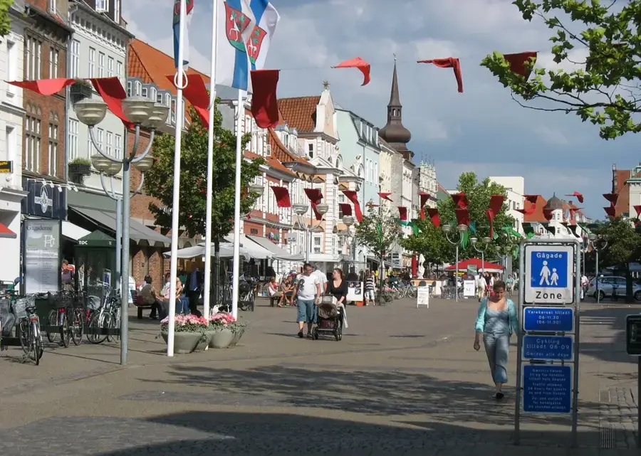
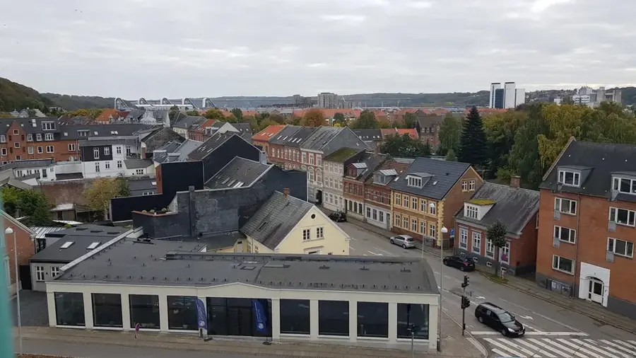
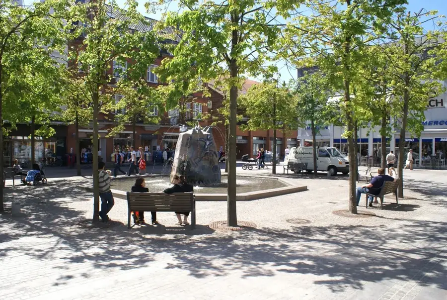
- Nearby: Herning (5 km)
Best time to visit & climate
The most pleasant time to visit is Jun–Aug.
| Jan | Feb | Mar | Apr | May | Jun | Jul | Aug | Sep | Oct | Nov | Dec | |
|---|---|---|---|---|---|---|---|---|---|---|---|---|
| Avg °C | 1 | 1 | 3 | 7 | 11 | 14 | 17 | 17 | 14 | 10 | 6 | 3 |
| Rain mm | 81 | 62 | 54 | 47 | 56 | 77 | 78 | 91 | 80 | 94 | 84 | 84 |
📋 Practical info
Geography
Facts
- Located in the highlands south of Herning
- Formed over 120,000 years ago during the Saale glaciation
- Consists primarily of glacial sand and gravel deposits
- Part of the 'old moraine' landscape of western Jutland
- Serves as a key vantage point over the Jutland heath
- Features a network of signposted hiking trails
Explore nearby
Notable places around
Route planner — Car & Motorhome
Where do you start? We build the route here, with stops and country notes along the way.
© OpenStreetMap contributors · OpenRouteService
Sights in the town Rind Bakkekam (5)
Dyshøj
Archaeological site in Denmark. A Bronze Age burial mound.
Sights nearby
Frequently asked questions
What is Rind Bakkekam?
Are there marked hiking trails?
When does the heather bloom most beautifully?
Is cycling allowed there?
Are there parking options?
Rind Bakkekam: where is it located?
Rind Bakkekam: what is there to see?
Rind Bakkekam: when is the best time to visit?
Rind Bakkekam: why is it worth visiting?

Nearby cities


History & landmarks