Plizio Visual Lab

Mols Kyst

Plizio editorial teamData Sources
Landmark
—°6
Mols Kyst (Denmark)

Weather…

Mols Kyst refers to the geologically spectacular coastline of the Mols peninsula in East Jutland, situated within the Mols Bjerge National Park. The relief of this coast is a textbook example of a glacial moraine landscape, shaped by the repeated advances and retreats of Baltic ice lobes during the Weichselian glaciation. It is characterized by steep till cliffs that alternate with gentle coastal meadows and deep, sheltered bays like Begtrup Vig. The immense pressure of the ice created an exceptionally hilly hinterland that drops abruptly into the sea, resulting in a highly dynamic coastal environment. Historically, the shoreline hosted strategic fortifications and small fishing communities that relied on the fertile fishing grounds of the Kattegat. Wave-driven erosion continually uncovers new sedimentary layers, making it a prime location for geological study and fossil hunting. Today, the Mols coast is a protected natural haven, celebrated for the high biodiversity found in its dry coastal heaths. Hiking trails wind along the elevated ridges, offering some of the most pretty panoramic views of the Danish archipelago.

Best time to visit & climate

The most pleasant time to visit is Jul–Sep.

JanFebMarAprMayJunJulAugSepOctNovDec
Avg °C223711151718151174
Rain mm604843395171788364797065

📋 Practical info

🚪
Visiting
Mols Kyst is a protected landscape with steep hills and deep valleys, freely accessible at all times. You can explore the area on foot, by bike, or by car on designated trails.
🕒
Typical hours
As a free natural landscape, there are no opening hours. The best time to visit is during daylight; trails are not lit, so avoid darkness.
📷
Photography
Photography is unrestricted across the entire landscape. The dramatic contours of the ice-age shaped hills provide spectacular subjects, especially in low-angle sunlight.
⏱️
Time needed
A short hike to a viewpoint takes about 30 minutes to an hour. For an extended hike along the coast, allow half to a full day.
Combine with
The area is on the Mols peninsula near Ebeltoft, which attracts with its old town and glass museum. The neighboring Mols Bjerge National Park provides additional hiking trails.
🧭
Getting there
Mols Kyst is best reached by car; parking is available at trailheads like Knebel or Agri. Public buses connect the villages, but service is infrequent.
💡
Insider tip
Wear sturdy footwear, as trails can be steep and slippery, especially after rain. Bring plenty of water and snacks, as there are no supply points along the way.

Geography

Coordinates
56.18220, 10.55220

Facts

  • Part of the Mols Bjerge National Park in East Jutland
  • Shaped by Baltic ice movements during the last ice age
  • Coastal elevations reach heights of over 50 meters
  • Famous for its deep bays such as Begtrup Vig
  • Home to rare flora in specialized dry coastal heathlands
  • Features remains of both prehistoric and medieval settlements

Explore nearby

Notable places around

Route planner — Car & Motorhome

Where do you start? We build the route here, with stops and country notes along the way.

Vehicle
Only stops with (optional):

© OpenStreetMap contributors · OpenRouteService

Sights in the town Mols Kyst (6)

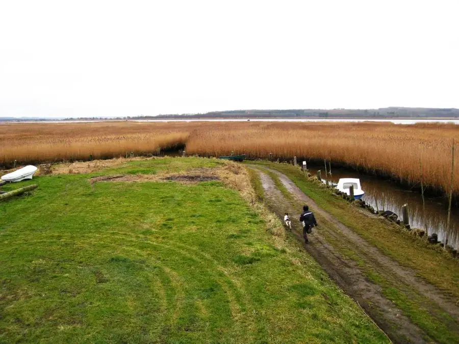
Fuglsø Strand🎡 recreation

Situated on the coast of the Mols region in Denmark, the welcoming Fuglsø Strand awaits visitors. Guests will find an idyllic stretch of coastline that invites for relaxing walks and unwinding by the water. This spot is perfectly suited for a quiet outing during the warmer months.

Strands Strand🎡 recreation

Strands Strand is a pretty stretch of coastline in the Mols region of Denmark. The surroundings offer good conditions for a relaxing day by the sea, whether for sunbathing or for taking long walks along the shore. A visit in the late afternoon often promises a particularly beautiful atmosphere.

Lindhøj🏺 historical

An ancient archaeological site on the Mols coast that preserves historical remains.

Olaf Ryes Skanse🏺 historical

A historical fortification on the Danish coast, known for its strategic importance.

Brunhøje🏺 historical

An archaeological site featuring ancient burial mounds in the Mols Kyst region.

Sights nearby

Frequently asked questions

What characterizes Mols Kyst?
It has a diverse coastline with steep cliffs, sandy beaches, and shallow bays.
Where are good hiking spots there?
The 'Mols Bjerge Stien' hiking trail runs partly along the coast, offering great panoramas.
Can you fish at Mols Kyst?
Yes, the coast is very popular with anglers, especially for sea trout.
Are there historical sites there?
The Kalø castle ruin is nearby, accessible via a historical causeway in the water.
What is the water like?
In bays like Begtrup Vig, it is usually very calm and shallow, handy for swimming.
Mols Kyst: where is it located?
Mols Kyst is located in Denmark.
Mols Kyst: what is there to see?
Highlights include Fuglsø Strand, Strands Strand, Lindhøj.
Mols Kyst: when is the best time to visit?
The most pleasant time to visit is Jul, Sep.
Mols Kyst: why is it worth visiting?
Mols Kyst refers to the geologically spectacular coastline of the Mols peninsula in East Jutland, situated within the Mols Bjerge National Park.
View on map → The Top 50 Attractions → Most beautiful beaches → OpenStreetMap →
Europe
Explore with Plizio Discover more places in Europe
More places in Denmark →

Nearby cities

History & landmarks

More places