Plizio Visual Lab
Helgenæs
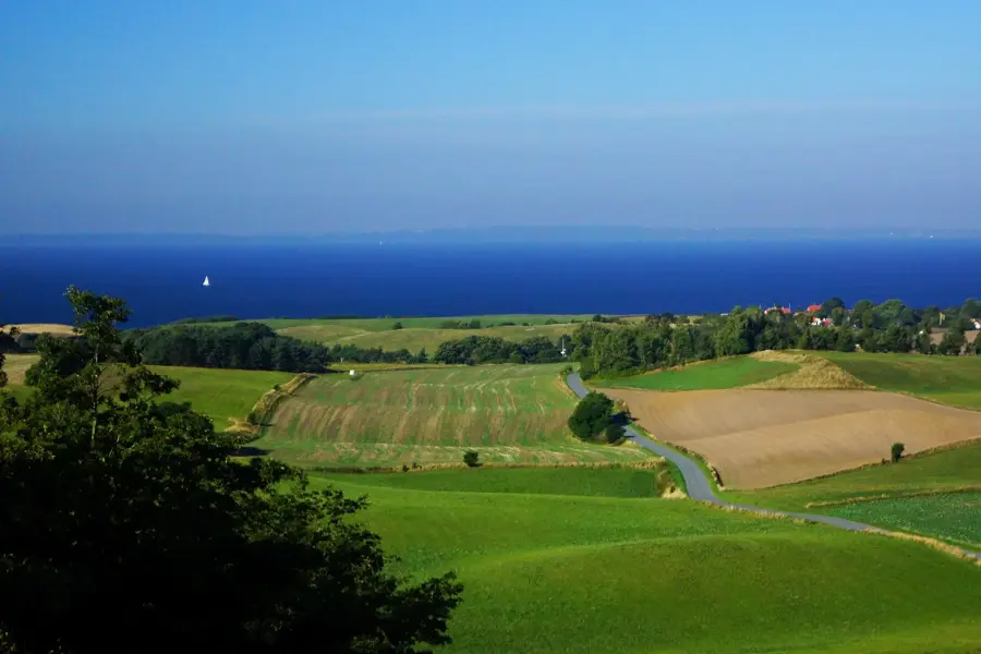
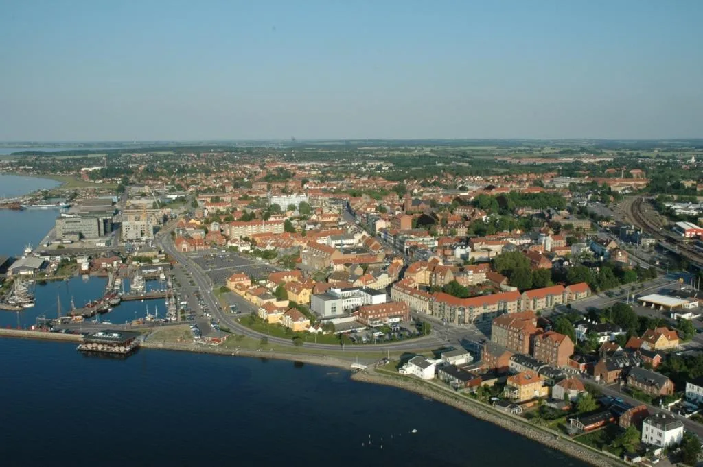
Helgenæs is a prominent peninsula in southern Djursland, linked to the mainland by the narrow isthmus of Dragsmur. Its topography is the product of complex glacial dynamics during the last ice age, with Ellemandsbjerg serving as the highest point at 99 meters above sea level. Geologically, Helgenæs is a textbook example of a landscape shaped by ice-push events, featuring a rugged mix of terminal moraines and kettle holes. The coastline is defined by dramatic cliffs such as Lashøj, which provide a vertical cross-section of glacial till and clay deposits. Historically, Helgenæs played a vital role in Danish national defense, as evidenced by the preserved earthwork fortifications from the wars of 1848-1850 and 1864. At its southern tip, the Sletterhage Lighthouse marks one of the busiest shipping lanes leading to the port of Aarhus. Today, the peninsula is a cherished nature area known for its dry grasslands and expansive panoramic views across the Kattegat and the Samsø Belt. The sparse but biologically diverse vegetation reflects the unique maritime climate and the nutrient-poor soil of the moraine hills.
- Location: Denmark
- Top sights: Sletterhage Fyr · The German Tower · Bursklint
- Nearby: Knebel (10 km)
Best time to visit & climate
The most pleasant time to visit is Jul–Sep.
| Jan | Feb | Mar | Apr | May | Jun | Jul | Aug | Sep | Oct | Nov | Dec | |
|---|---|---|---|---|---|---|---|---|---|---|---|---|
| Avg °C | 2 | 2 | 3 | 7 | 11 | 15 | 17 | 18 | 15 | 11 | 7 | 4 |
| Rain mm | 60 | 48 | 43 | 39 | 51 | 71 | 78 | 83 | 64 | 79 | 70 | 65 |
📋 Practical info
Geography
Facts
- Highest elevation is Ellemandsbjerg at 99 meters
- Connected to the mainland via the Dragsmur isthmus
- Formed by glacial ice-push and kettle hole processes
- Features historic 19th-century defensive earthworks
- Home to the Sletterhage Lighthouse at the southern tip
- Renowned for its steep coastal cliffs and panoramic views
Explore nearby
Notable places around
Route planner — Car & Motorhome
Where do you start? We build the route here, with stops and country notes along the way.
© OpenStreetMap contributors · OpenRouteService
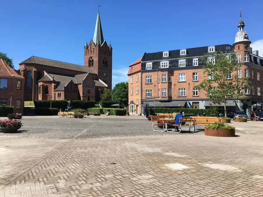
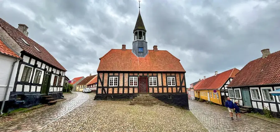
Sights in the town Helgenæs (5)
Sights nearby
Frequently asked questions
What is Helgenæs?
What is the main attraction?
Can you go hiking there?
What is Ellemandsbjerg?
Are there camping facilities?
Helgenæs: where is it located?
Helgenæs: what is there to see?
Helgenæs: when is the best time to visit?
Helgenæs: why is it worth visiting?

Nearby cities