Plizio Visual Lab
Mols Bjerge
ℹ️Practical info — Mols Bjerge
▾
🌤 Weather — 5 days
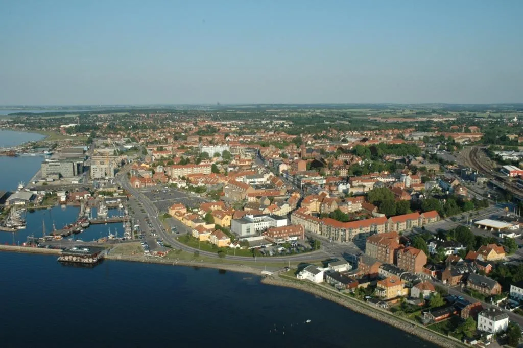
📍 Nearby
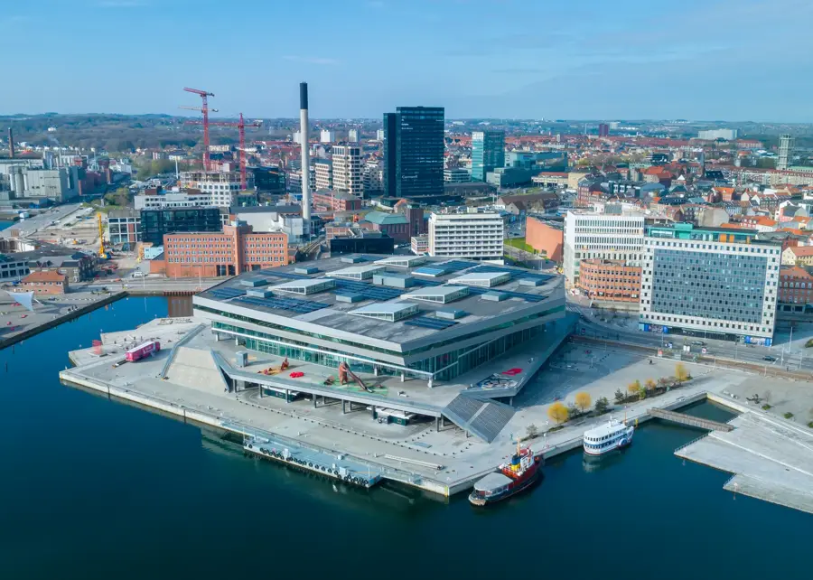
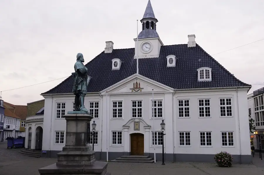
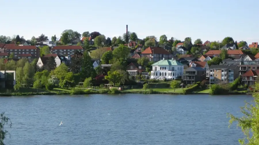
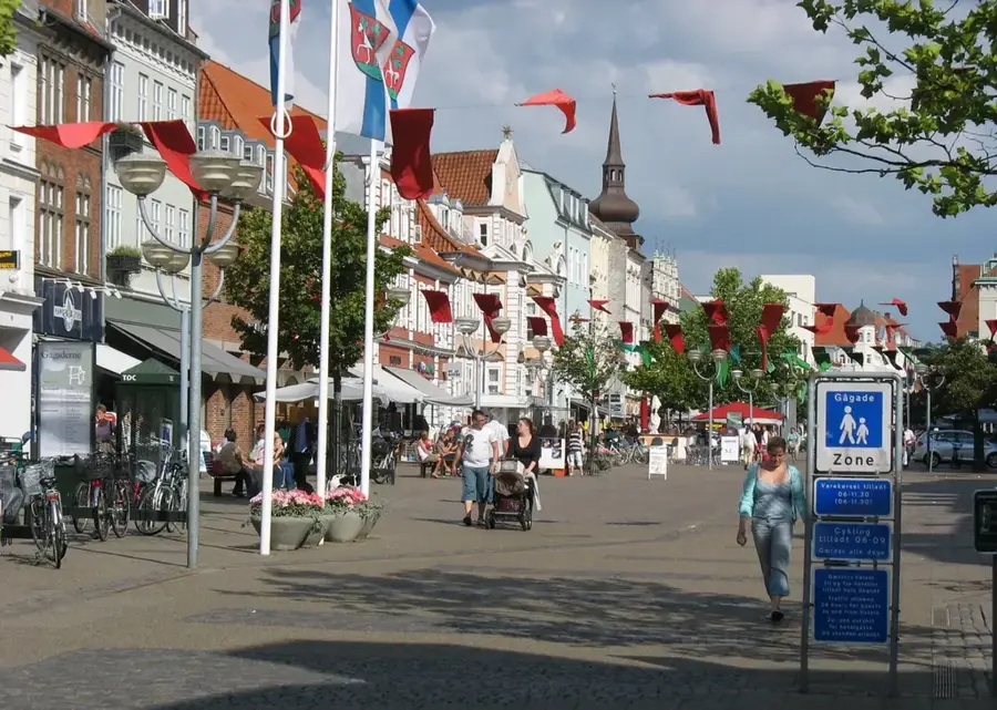
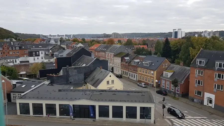
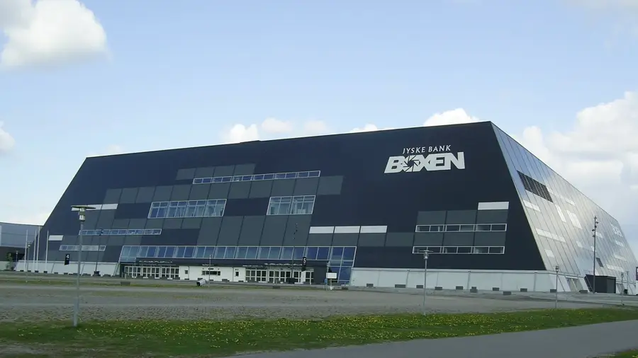
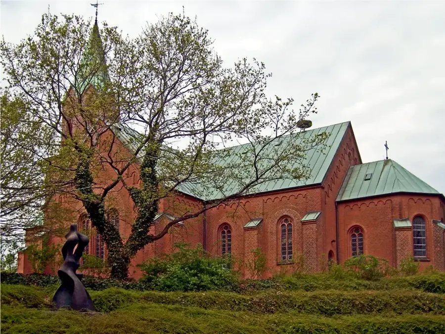
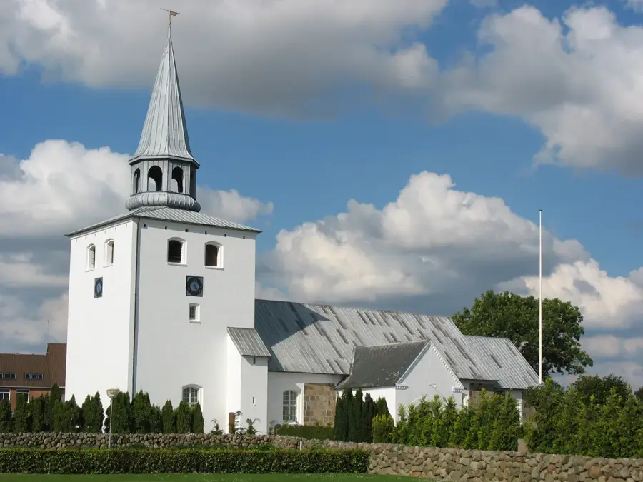
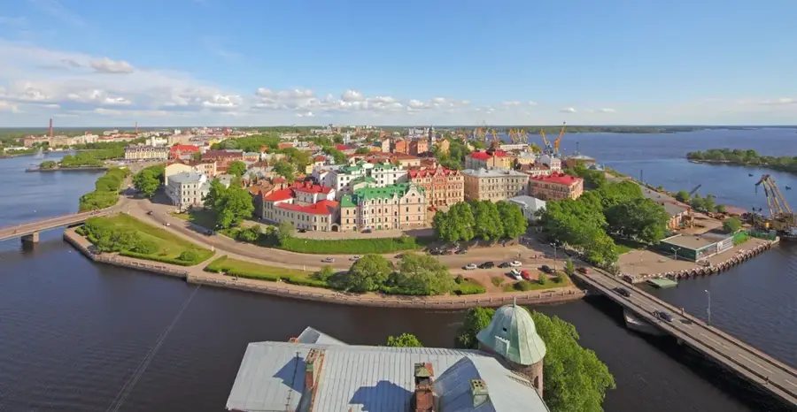
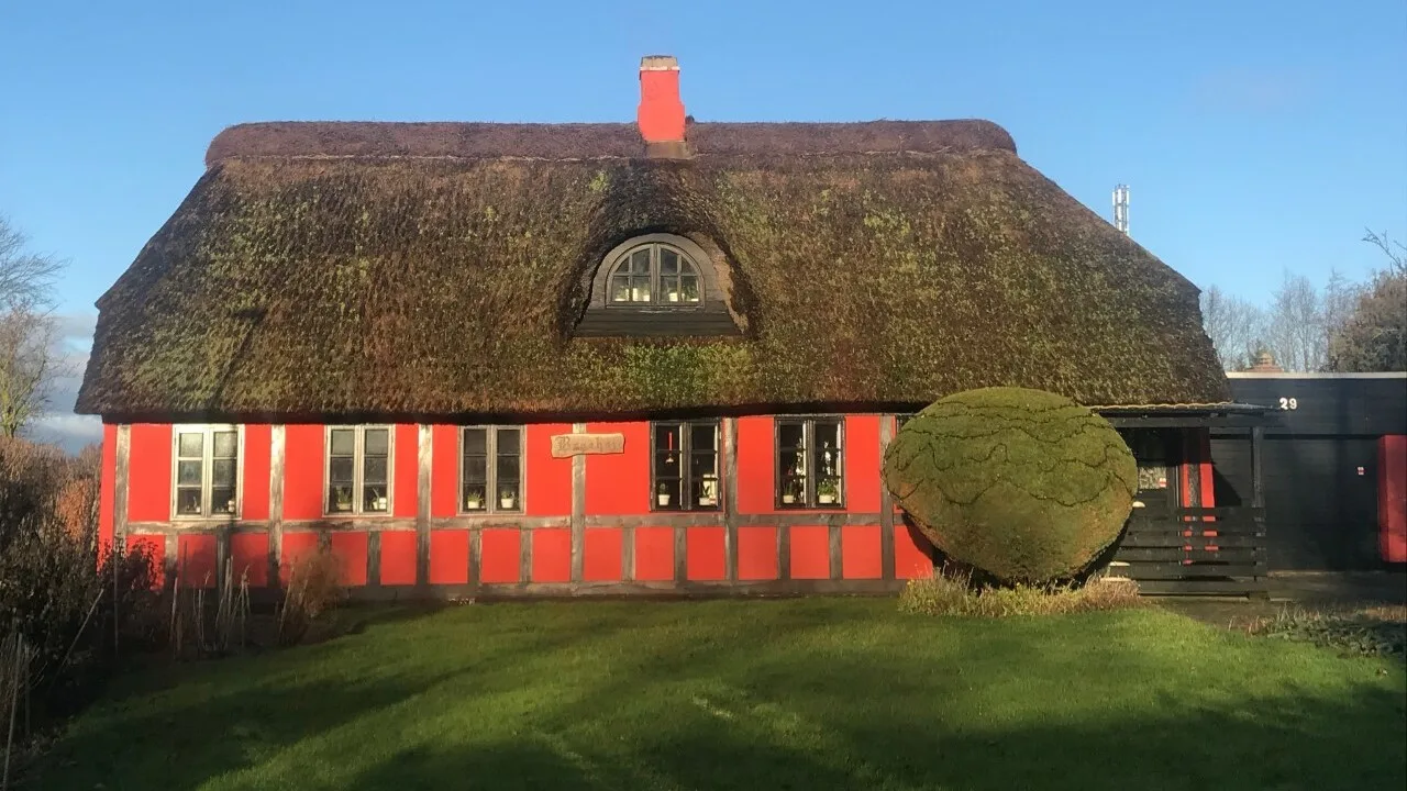
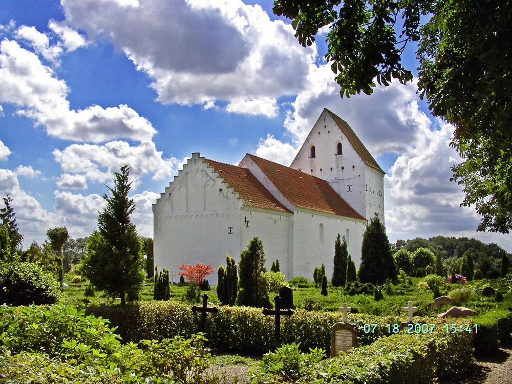
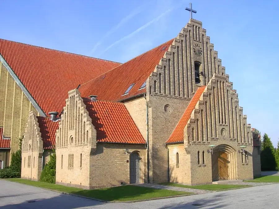
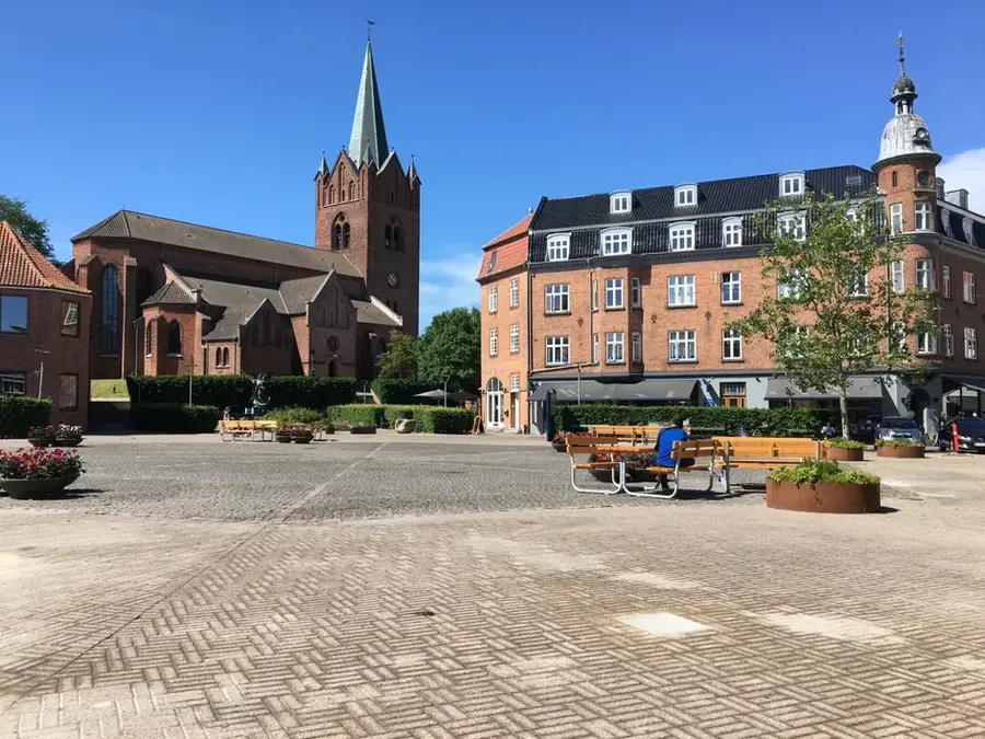
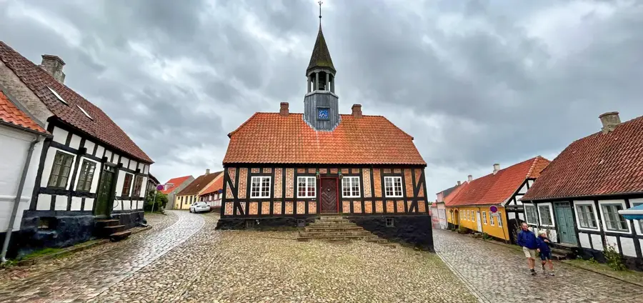
Sights nearby
💡 Tips
- Rent a bicycle; the national park has excellent, though hilly, cycling routes.
- Visit the Trehøje barrows for the best panoramic views of the ice-age landscape.
- Pack your own food and water, as amenities are sparse within the protected nature areas.
- The visitor center (Besøgscenter Karlsladen) gives great free maps and historical context.
- Watch out for grazing animals like cows and sheep, which roam freely in some fenced areas.
🍽 Food
Buy local cheeses and sausages from farm shops on the park's outskirts.
Local cafes sometimes use wild herbs from the hills; look for seasonal menus.
Head to the coastal villages like Knebel bordering the park for excellent fish.
🛍 Shopping · 🧘 Quiet spots
Buy organic honey, apple juice, and meats directly from producers in the area.
Visit the main town just outside the park for outdoor gear and local groceries.
Walk the medieval causeway early in the morning for a tranquil experience by the ruins.
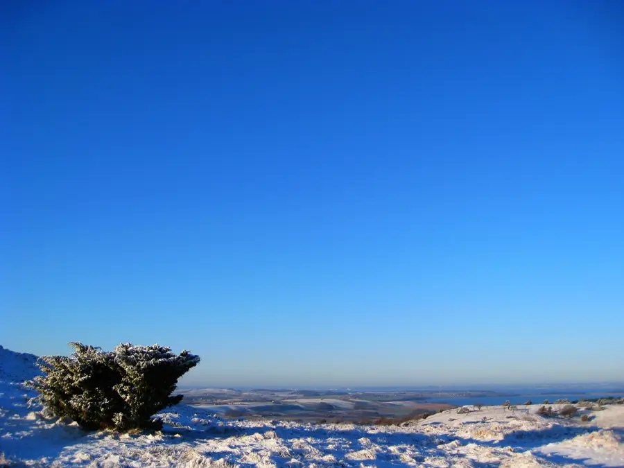
The highest point in the park, offering peaceful sweeping views away from the roads.
Water temperature…
Mols Bjerge, located in the heart of Djursland, is one of Denmark's most distinctive landscapes. The area was shaped by massive glacial movements during the last ice age, resulting in a hilly topography that is unusual for Denmark. The national park encompasses heathlands, forests, and coastal areas. Among the most famous elevations are Agri Bavnehøj and Trehøje, offering panoramic views over the bays of Aarhus and Ebeltoft. The region is rich in cultural treasures, such as Poskær Stenhus, Denmark's largest Neolithic round dolmen. Hikers and cyclists will find an excellent network of marked trails leading through varied terrain. The flora and fauna are diverse; in late summer, blooming heather transforms the hills into a purple sea. Rare butterfly species are also native to this area. For visitors, the national park center provides information on the area's geology and history. In the small villages surrounding the park, cozy inns serve local products. Mols Bjerge is accessible from Aarhus in about 45 minutes by car. The best time for hiking is spring and late summer when temperatures are mild and the air is clearest. The combination of nature and history makes it one of Jutland's most popular recreational areas.
- Location: Denmark
- Top sights: Trehøje · Tinghulen · Høvelshøj
- Nearby: Ugelbølle (13 km)
- Population: ~603
Best time to visit & climate
The most pleasant time to visit is Jul–Sep.
| Jan | Feb | Mar | Apr | May | Jun | Jul | Aug | Sep | Oct | Nov | Dec | |
|---|---|---|---|---|---|---|---|---|---|---|---|---|
| Avg °C | 2 | 2 | 3 | 7 | 11 | 15 | 17 | 18 | 15 | 11 | 7 | 4 |
| Rain mm | 60 | 48 | 43 | 39 | 51 | 71 | 78 | 83 | 64 | 79 | 70 | 65 |
Geography
Facts
- National Park status
- Ice-age glacial hills
- Agri Bavnehøj viewpoint
- Poskær Stenhus dolmen
- Heathland landscapes
- Baltic Sea views
- Mols Bjerge Stien trail
- Rare butterfly species
Explore nearby
Notable places around
Route planner — Car & Motorhome
Where do you start? We build the route here, with stops and country notes along the way.
© OpenStreetMap contributors · OpenRouteService
Sights in the town Mols Bjerge (14)
Frequently asked questions
What is Mols Bjerge?
What is the highest point?
What is the Kalø castle ruin?
Can you go hiking in the national park?
Is the park accessible by car?
Mols Bjerge: where is it located?
Mols Bjerge: what is there to see?
Mols Bjerge: when is the best time to visit?
Mols Bjerge: why is it worth visiting?

Nearby cities