Plizio Visual Lab
Tshuapa River

Weather…
Water temperature…
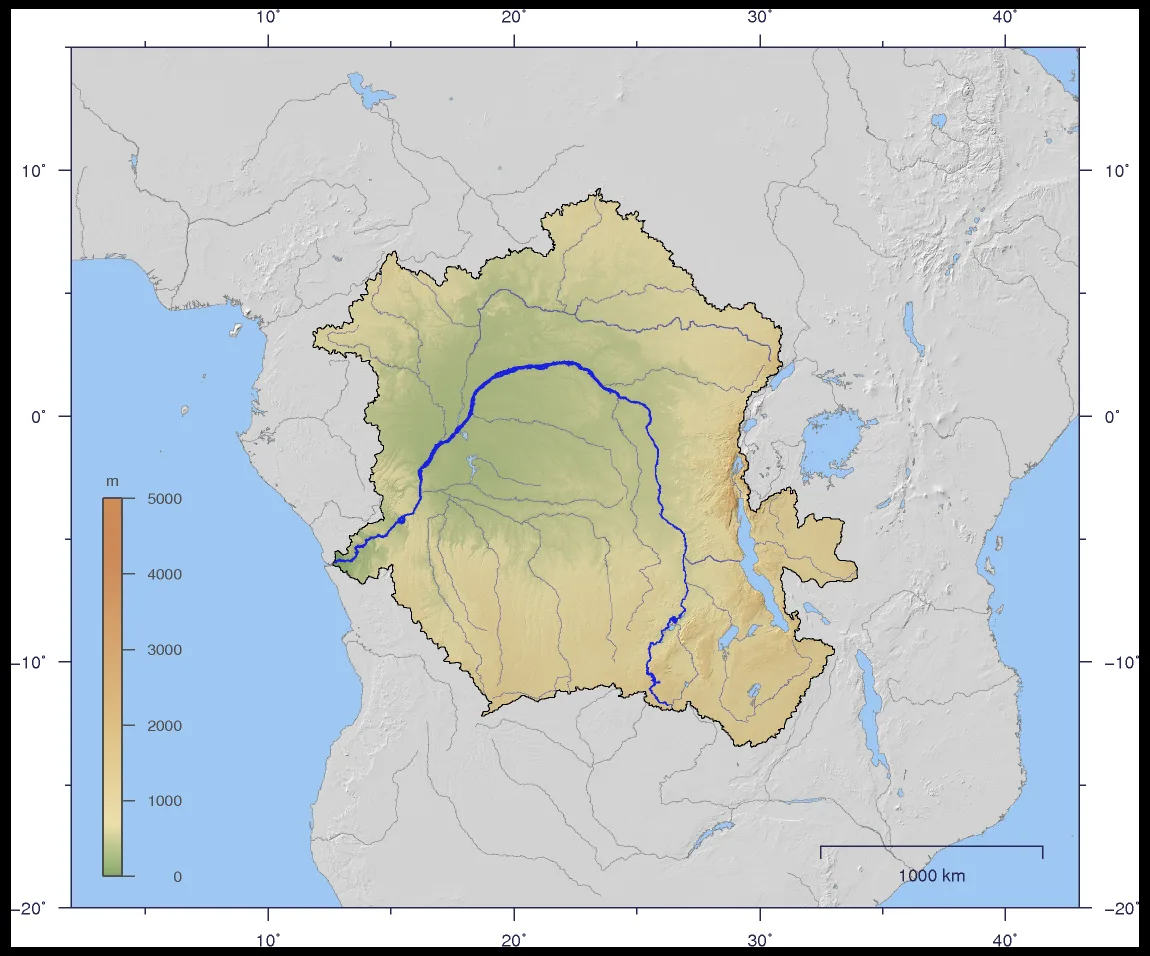
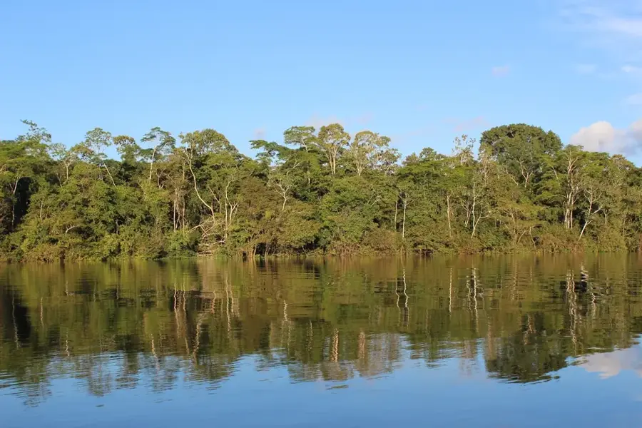
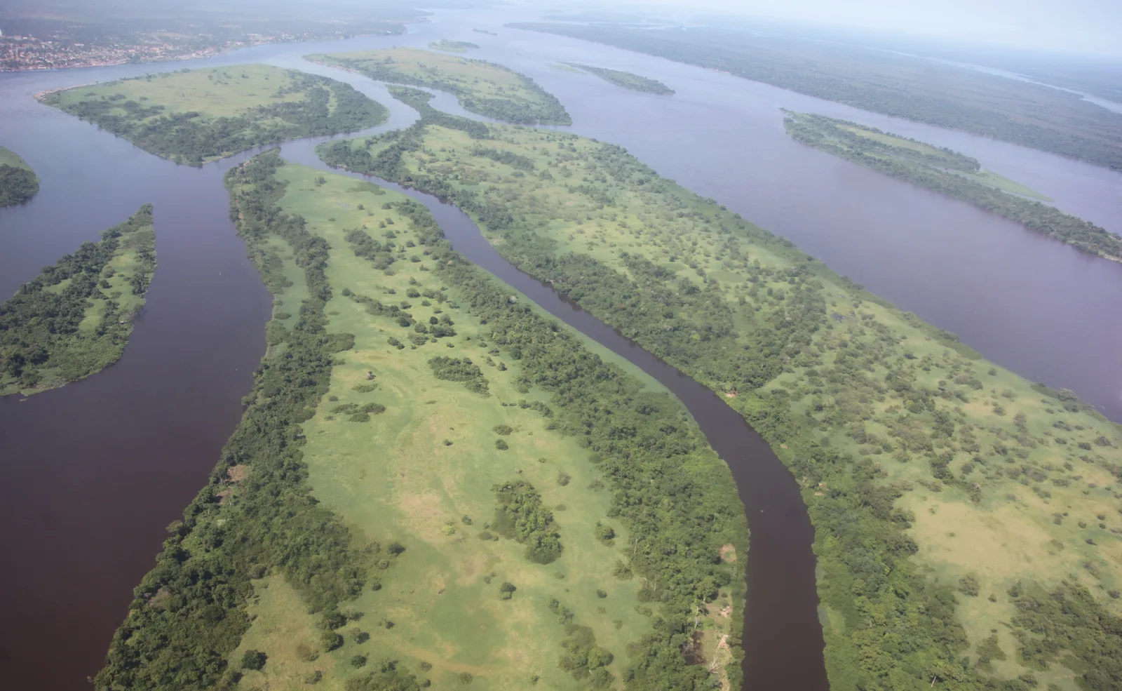
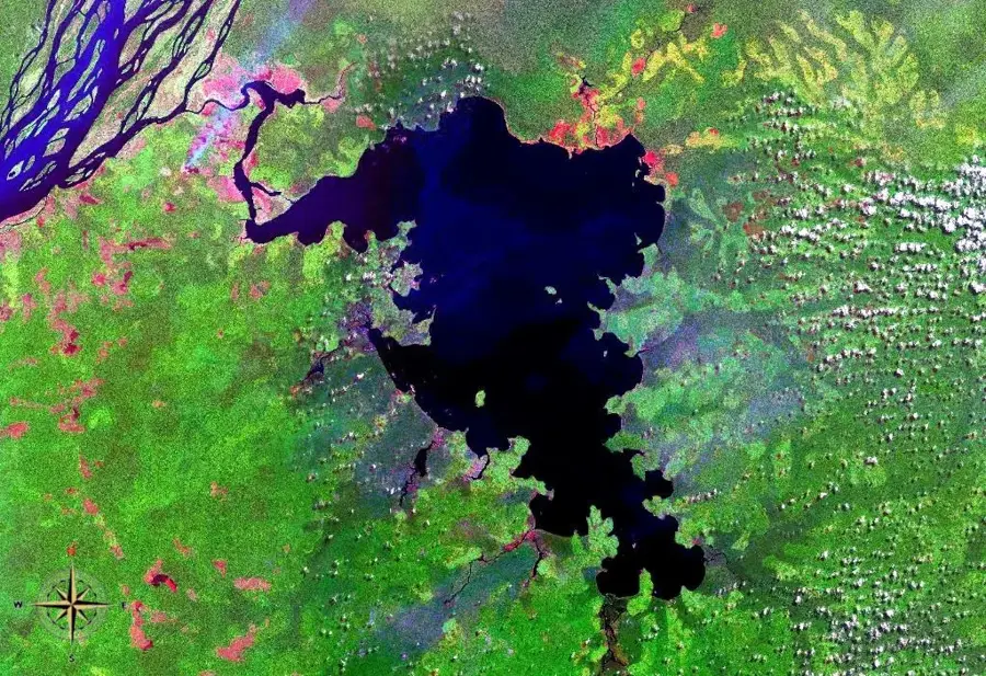
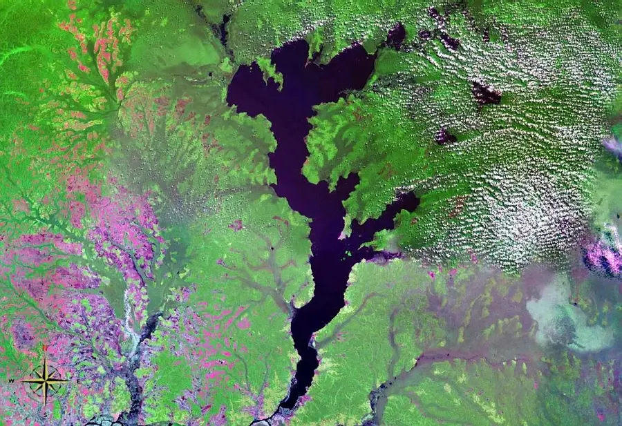
The Tshuapa River is a significant waterway in the central basin of the Democratic Republic of the Congo, merging with the Lomela to form the Busira River. Stretching for approximately 1,000 kilometers, it flows almost entirely through dense, untouched tropical rainforests. The river serves as a vital transport artery for the country's isolated interior, where road infrastructure is virtually non-existent. Historically, the Tshuapa basin was a major hub for the collection of wild rubber and palm oil during the early colonial period. Today, the region is celebrated for its immense biodiversity, including rare primate species and a vast variety of freshwater fish. The river provides local communities with their primary source of drinking water, food, and mobility. Seasonal flooding of the Tshuapa creates extensive wetlands that are crucial for regional climate regulation and the water cycle. Despite its remoteness, the area faces environmental challenges from subsistence farming and logging. The Tshuapa remains a testament to the wilderness and ecological importance of the Central African rainforest.
Best time to visit & climate
The most pleasant time to visit is Jan, Jul, Aug.
| Jan | Feb | Mar | Apr | May | Jun | Jul | Aug | Sep | Oct | Nov | Dec | |
|---|---|---|---|---|---|---|---|---|---|---|---|---|
| Avg °C | 26 | 26 | 26 | 26 | 26 | 26 | 26 | 26 | 25 | 25 | 25 | 25 |
| Rain mm | 95 | 134 | 171 | 157 | 166 | 130 | 115 | 129 | 188 | 192 | 197 | 145 |
📋 Practical info
Geography
Facts
- Total length of approximately 1,000 kilometers
- Flows through the central Congo Basin
- Joins the Lomela River to form the Busira
- Primary transport route in a region with no road access
- Historical center of the wild rubber trade
- Hosts an extremely high diversity of primate species
Explore nearby
Notable places around
Route planner — Car & Motorhome
Where do you start? We build the route here, with stops and country notes along the way.
© OpenStreetMap contributors · OpenRouteService
Sights nearby
Frequently asked questions
Where is the Tshuapa located?
What animals can be seen here?
Is the river deep?
Are there settlements along the river?
What color is the water?
Tshuapa River: where is it located?
Tshuapa River: when is the best time to visit?
Tshuapa River: why is it worth visiting?

Nature


More places