Plizio Visual Lab
Dyje-Svratka Basin
Weather…
Water temperature…
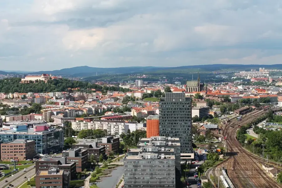
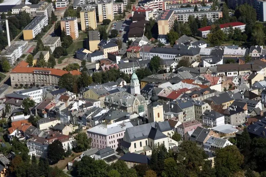
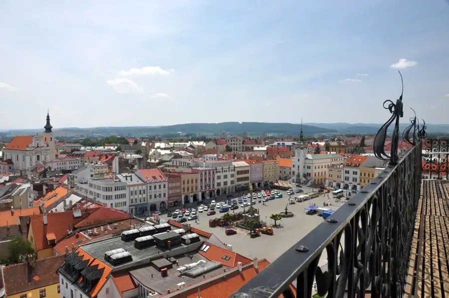
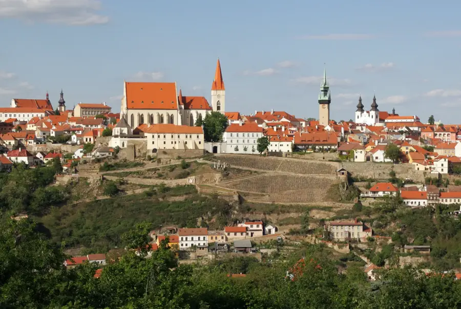
The Dyje-Svratka Basin, or Dyjsko-svratecký úval, is a low-lying depression in South Moravia, near the Austrian border, characterized by its warm climate and fertile plains. Geologically, it is filled with deep Neogene sediments and covered with extensive Pleistocene loess deposits, making it one of the most productive agricultural regions in the Czech Republic. The area is widely known as the nation's premier wine-growing district, where sun-drenched slopes produce high-quality white and red wines. The landscape is defined by the flow of the Dyje, Svratka, and Jihlava rivers, which converge in the massive Nové Mlýny reservoir system. This region is home to an incredibly long history of human habitation, evidenced by the world-famous Upper Paleolithic discovery of the Venus of Dolní Věstonice, a ceramic figurine dating back over 25,000 years. Brno, the second-largest city in the country, lies at the northern edge of this basin. Today, the basin is a popular destination for cycling, agritourism, and exploring the unique limestone formations of the nearby Pálava Biosphere Reserve.
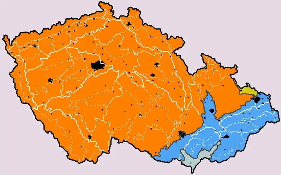
- Location: Czech Republic
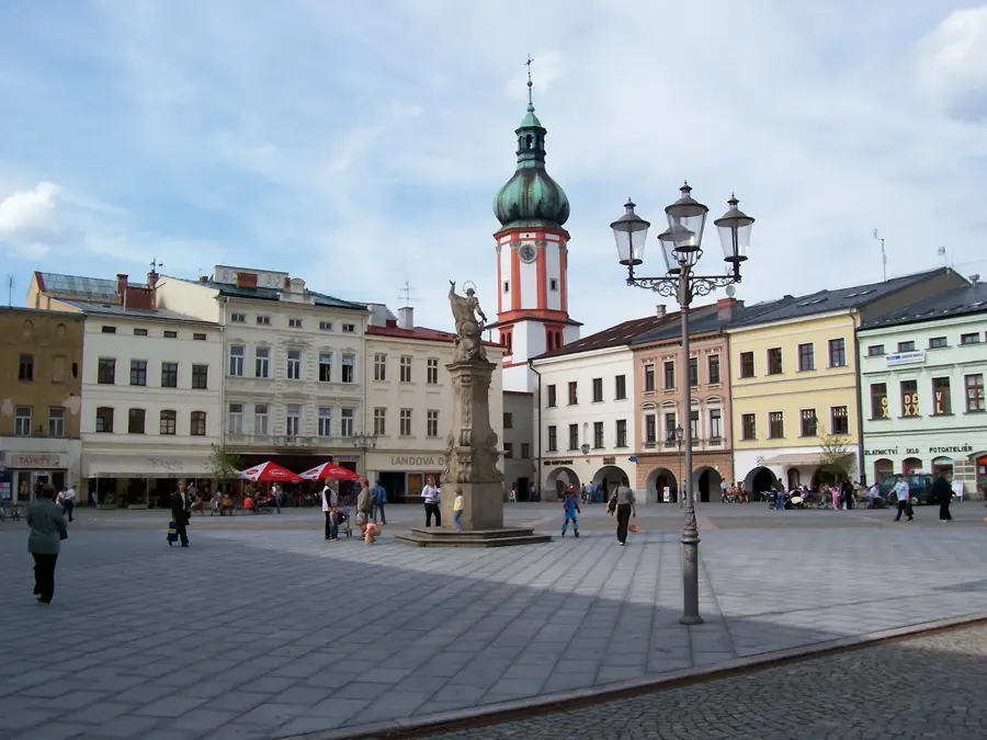
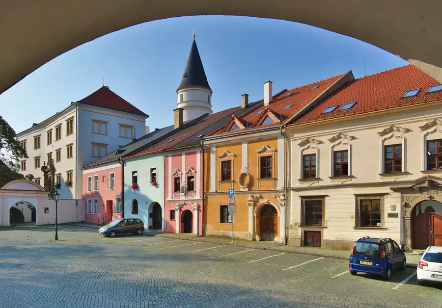
- Top sights: Přírodní památka Knížecí les · sv. Jan Křtitel · Socha sv, Floriánka
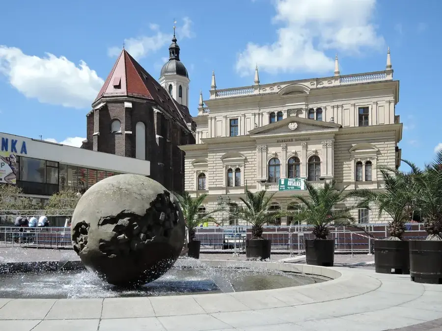
- Nearby: Hustopeče (9 km)
Best time to visit & climate
The most pleasant time to visit is Jun–Aug.
| Jan | Feb | Mar | Apr | May | Jun | Jul | Aug | Sep | Oct | Nov | Dec | |
|---|---|---|---|---|---|---|---|---|---|---|---|---|
| Avg °C | -3 | -1 | 4 | 9 | 14 | 19 | 21 | 20 | 15 | 9 | 4 | -1 |
| Rain mm | 35 | 29 | 37 | 34 | 70 | 74 | 72 | 70 | 61 | 42 | 37 | 35 |
📋 Practical info
Geography
Facts
- The basin spans an area of approximately 1,450 square kilometers.
- The Venus of Dolní Věstonice is the oldest known ceramic statuette in the world.
- The Nové Mlýny reservoir system was built for irrigation and flood protection.
- Annual average rainfall in the basin is among the lowest in the country.
- The Lednice-Valtice Cultural Landscape, a UNESCO site, borders the basin.
- Wine production in the region dates back to the Roman period in the 2nd century.
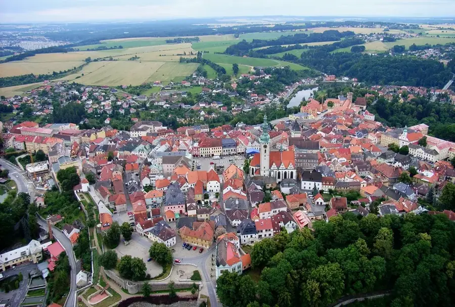
Explore nearby
Notable places around
Route planner — Car & Motorhome
Where do you start? We build the route here, with stops and country notes along the way.
© OpenStreetMap contributors · OpenRouteService
Sights in the town Dyje-Svratka Basin (6)
zámek Velké Němčice🏰 castle
Castle in the Czech Republic, a historic building with a varied ownership history.
PP Přísnotikcý les
Protected natural monument in the Czech Republic, conserving a near-natural forest.
Sights nearby
Frequently asked questions
What is the Dyje-Svratka Basin?
Which large city is at the edge of the basin?
What is special about the agriculture here?
Are there large bodies of water?
What can you do as a tourist?
Dyje-Svratka Basin: where is it located?
Dyje-Svratka Basin: what is there to see?
Dyje-Svratka Basin: when is the best time to visit?
Dyje-Svratka Basin: why is it worth visiting?

Nearby cities