Plizio Visual Lab
Bohemian-Moravian Highlands
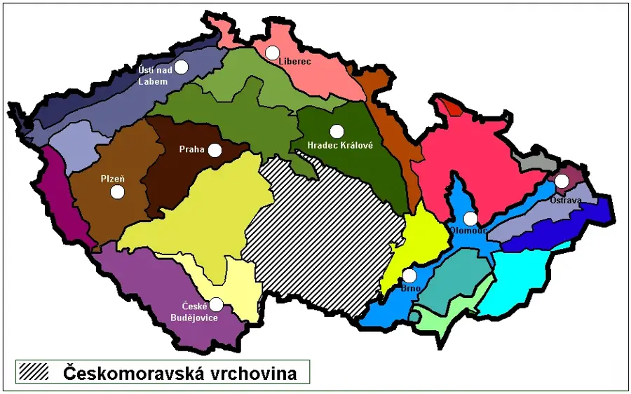
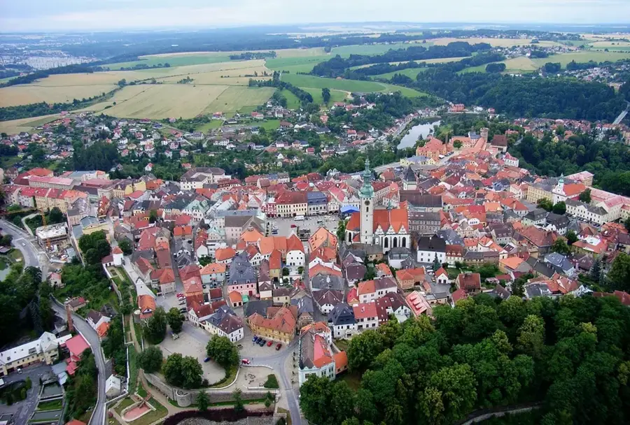
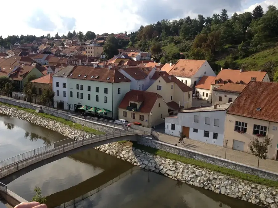
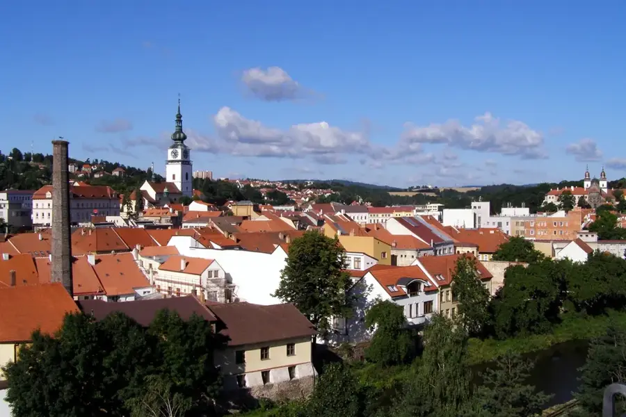
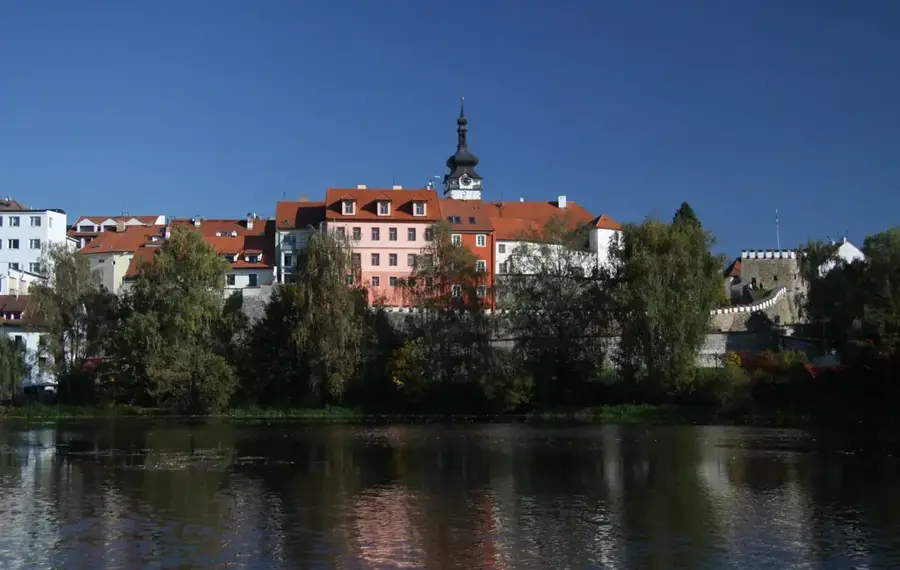
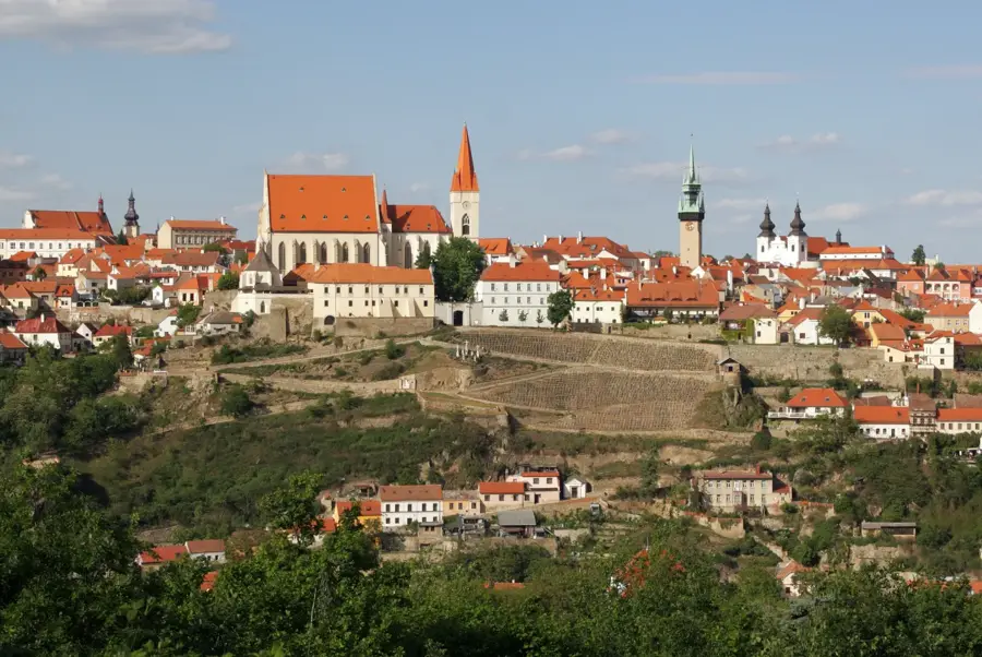
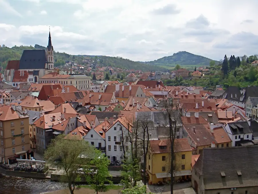
The Bohemian-Moravian Highlands, often referred to as Vysočina, constitute a large undulating plateau and mountain range spanning the historical border between Bohemia and Moravia. Covering an area of over 11,000 square kilometers, it is a core part of the Bohemian Massif, primarily composed of ancient crystalline rocks like granite and gneiss. The highest point is Javořice, reaching an altitude of 837 meters in the southern Jihlava Hills. This region serves as a major European watershed, dividing the drainage basins of the Elbe and Vltava rivers (flowing into the North Sea) from the Morava and Danube tributaries (flowing into the Black Sea). The landscape is defined by its mosaic of dense forests, arable fields, and small ponds, maintaining a predominantly rural character. Several UNESCO World Heritage sites are located within the highlands, including the historic center of Telč and the Jewish Quarter in Třebíč. The climate is notably cooler and wetter than the surrounding lowlands, influencing local architecture and traditional agricultural practices such as potato and flax cultivation.
- Location: Czech Republic
- Top sights: náměstí Svobody · svatý Karel Boromějský · Horácké divadlo
- Nearby: Humpolec (23 km)
Best time to visit & climate
The most pleasant time to visit is Jun–Aug.
| Jan | Feb | Mar | Apr | May | Jun | Jul | Aug | Sep | Oct | Nov | Dec | |
|---|---|---|---|---|---|---|---|---|---|---|---|---|
| Avg °C | -3 | -2 | 2 | 8 | 12 | 16 | 18 | 18 | 13 | 8 | 3 | -2 |
| Rain mm | 48 | 38 | 47 | 40 | 80 | 86 | 87 | 85 | 65 | 49 | 44 | 45 |
📋 Practical info
Geography
Facts
- The highlands cover roughly 11,750 square kilometers of the Czech Republic.
- The highest summit, Javořice, stands at 837 meters above sea level.
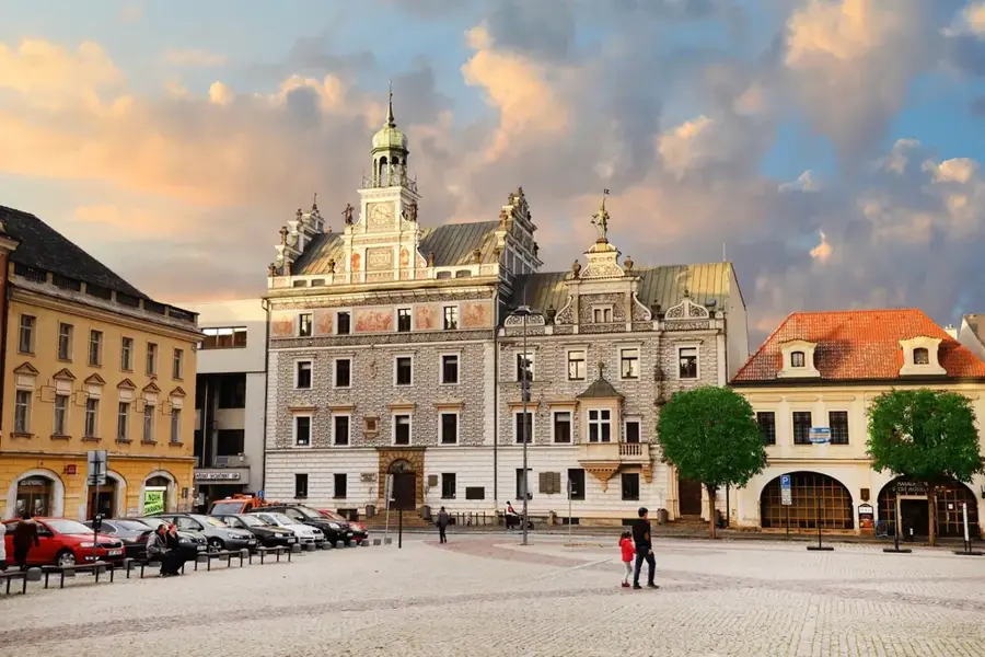
- The town of Telč is famous for its unique Baroque and Renaissance central square.
- The Sázava and Jihlava rivers are among the major waterways originating here.
- Vysočina is the Czech Republic's leading region for potato production.
- The Želivka reservoir in the highlands provides the majority of Prague's drinking water.
Explore nearby
Notable places around
Route planner — Car & Motorhome
Where do you start? We build the route here, with stops and country notes along the way.
© OpenStreetMap contributors · OpenRouteService
Sights in the town Bohemian-Moravian Highlands (10)
Oblastní galerie Vysočiny
Regional gallery in Jihlava, featuring modern art collections.
hospodářská zvířata
Enclosure with farm animals in Jihlava, part of a park.
Jihlavské podzemí
Catacombs beneath Jihlava, medieval cellars and corridors.
kaloni
Bat colony in Jihlava, observable in the underground.
Svatý Ignác
Church in Jihlava District, dedicated to Saint Ignatius.
Muzeum Vysočiny🏛 museum
Museum in Jihlava, with exhibitions on regional history.
Sights nearby
Frequently asked questions
What is the Bohemian-Moravian Highlands (Vysočina)?
What is the highest point?
Which UNESCO site is located here?
Is the region good for winter sports?
What is the climate like?
Bohemian-Moravian Highlands: where is it located?
Bohemian-Moravian Highlands: what is there to see?
Bohemian-Moravian Highlands: when is the best time to visit?
Bohemian-Moravian Highlands: why is it worth visiting?

Nearby cities