Plizio Visual Lab
Xeros Valley
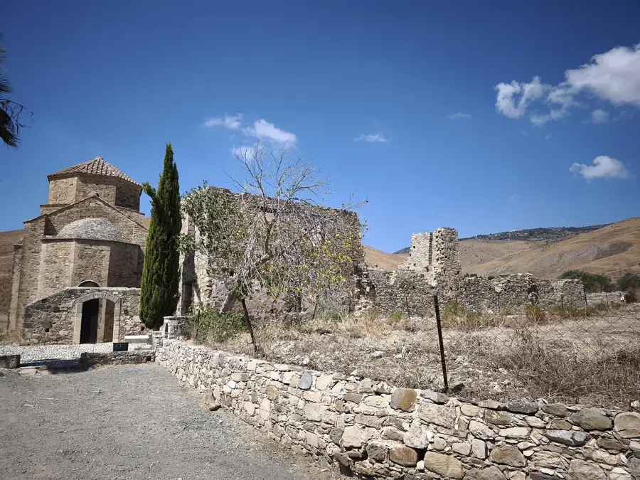
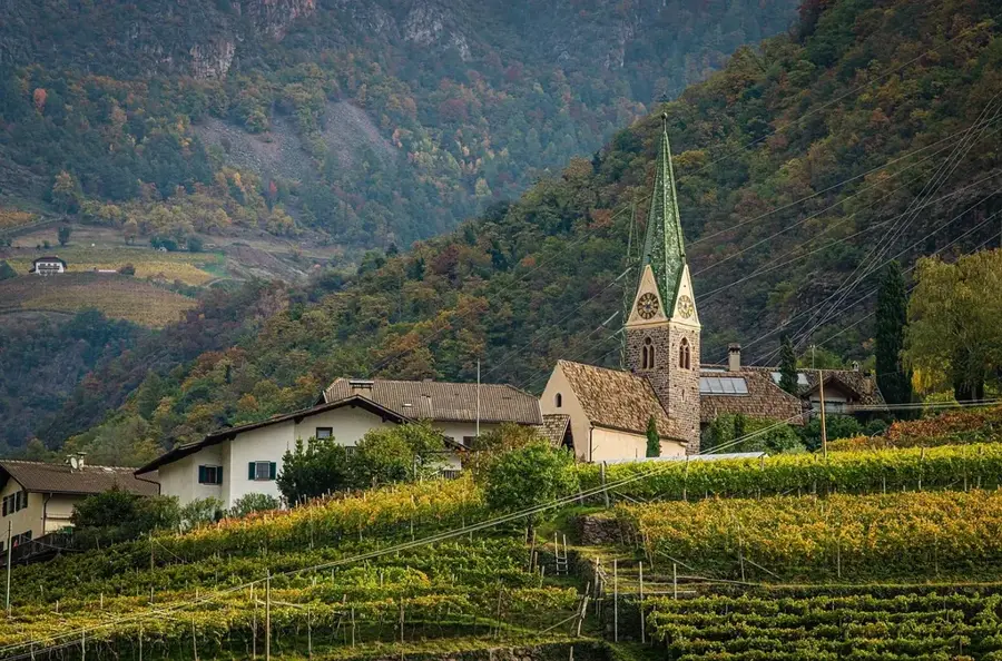
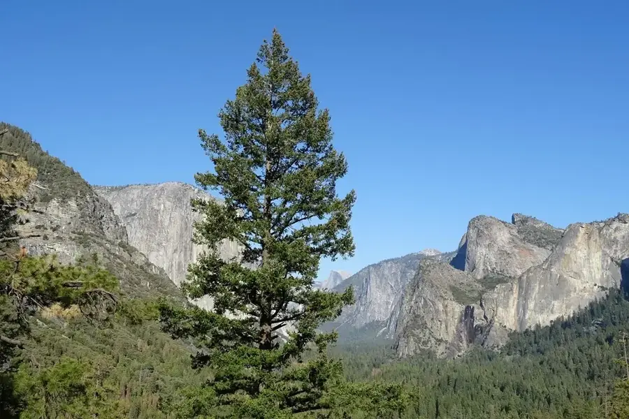
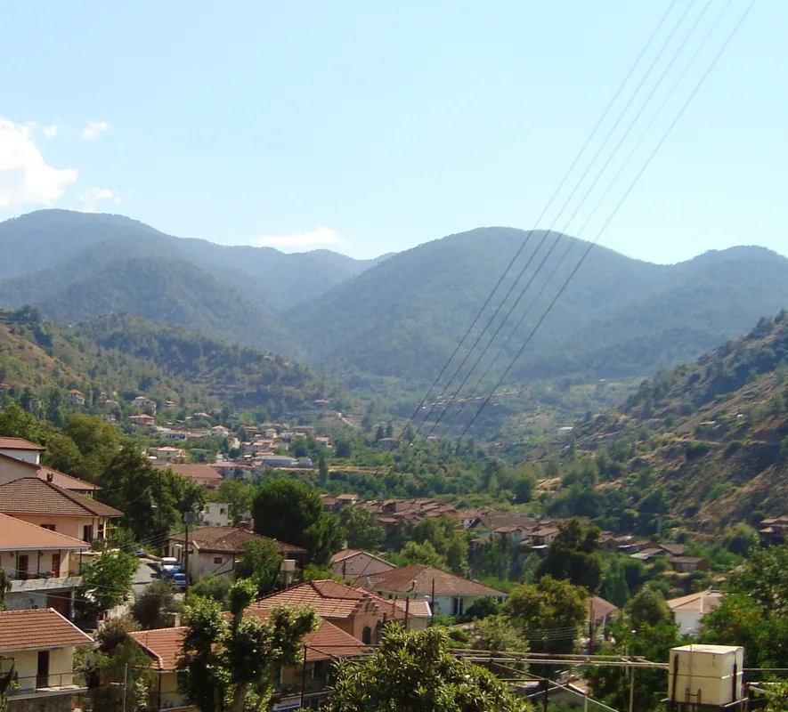
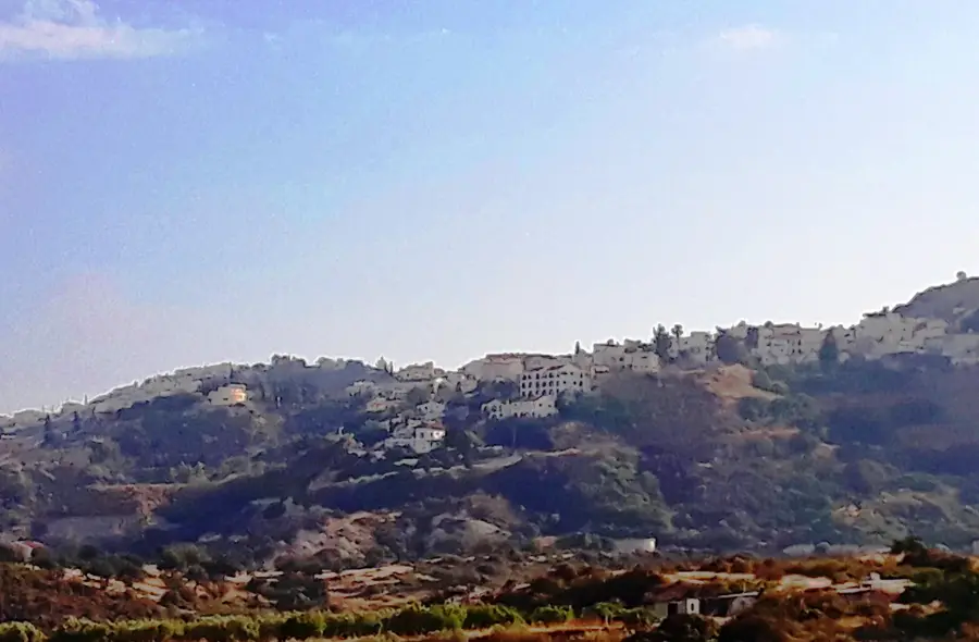
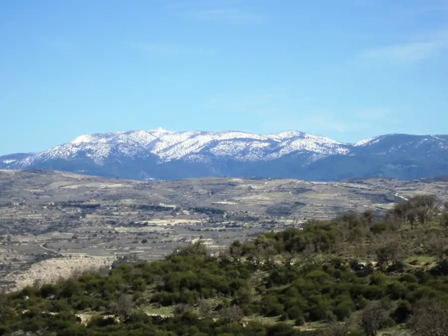
The Xeros Valley is located in the Paphos District in western Cyprus and is traversed by the Xeros Potamos river, which flows towards the southern coast. Geographically, the valley is characterized by spectacular limestone rock formations and typical Mediterranean vegetation of carob and olive trees. Historically, the region was a significant center for monastic life, evidenced by the 16th-century Venetian Panagia tou Sindi monastery, which has been restored and is now a UNESCO award winner. The valley serves as a natural corridor between the foothills of the Troodos Mountains and the coastal plain of Kouklia. Despite the name 'Xeros' (dry), the valley hosts significant water resources regulated by the Asprokremmos Dam, the second largest on the island. Ecologically, the area is of high relevance as part of the Natura 2000 network, hosting rare birds of prey and endemic plants. Today, the Xeros Valley is a popular destination for hikers and birdwatchers seeking the untouched silence of the western Cypriot landscape.
- Location: Cyprus
- Nearby: Aphrodite's Rock (19 km)
Best time to visit & climate
The most pleasant time to visit is May, Jun, Oct.
| Jan | Feb | Mar | Apr | May | Jun | Jul | Aug | Sep | Oct | Nov | Dec | |
|---|---|---|---|---|---|---|---|---|---|---|---|---|
| Avg °C | 11 | 12 | 14 | 17 | 20 | 24 | 27 | 27 | 25 | 22 | 17 | 13 |
| Rain mm | 89 | 55 | 33 | 18 | 13 | 5 | 2 | 3 | 10 | 27 | 43 | 92 |
📋 Practical info
Geography
Facts
- The Xeros Potamos is the sixth longest river in Cyprus at 55 kilometers.
- The Panagia tou Sindi monastery received the Europa Nostra award in 1997.
- The Asprokremmos Dam has a capacity of about 52 million m³.
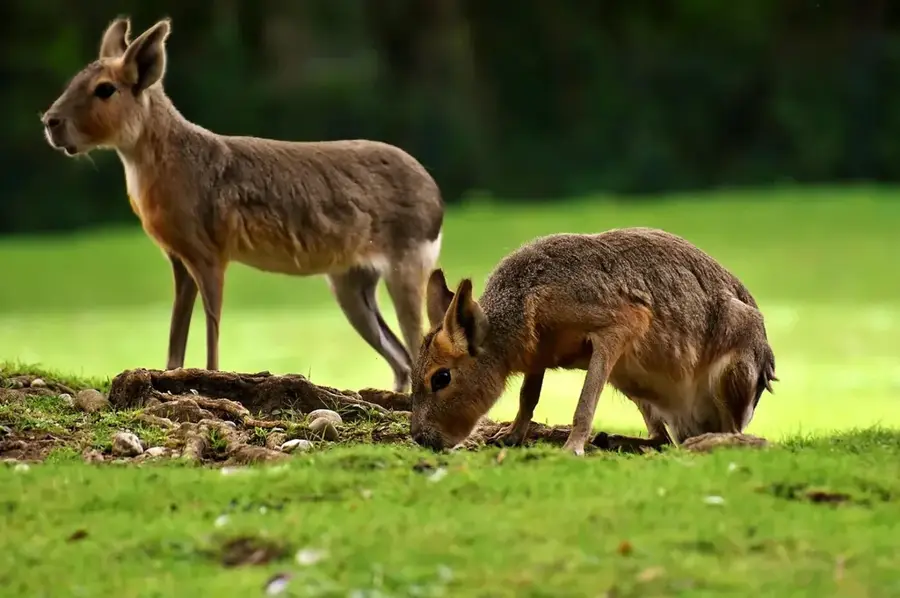
- The rare Bonelli's eagle (Aquila fasciata) nests in the valley.
- Archaeological finds confirm settlement since the Chalcolithic period.
- The region is part of the Diarizos-Xeros-Ezousa Natura 2000 area.
Explore nearby
Notable places around
Route planner — Car & Motorhome
Where do you start? We build the route here, with stops and country notes along the way.
© OpenStreetMap contributors · OpenRouteService
Sights in the town Xeros Valley (1)
Sights nearby
Frequently asked questions
What does the name Xeros Valley mean?
Are there abandoned villages there?
What can you see there?
Is the valley good for hiking?
How do you reach Xeros Valley?
Xeros Valley: where is it located?
Xeros Valley: when is the best time to visit?
Xeros Valley: why is it worth visiting?

Nearby cities


History & landmarks

Nature

More places