Plizio Visual Lab
Diarizos River

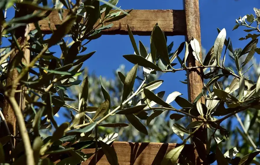
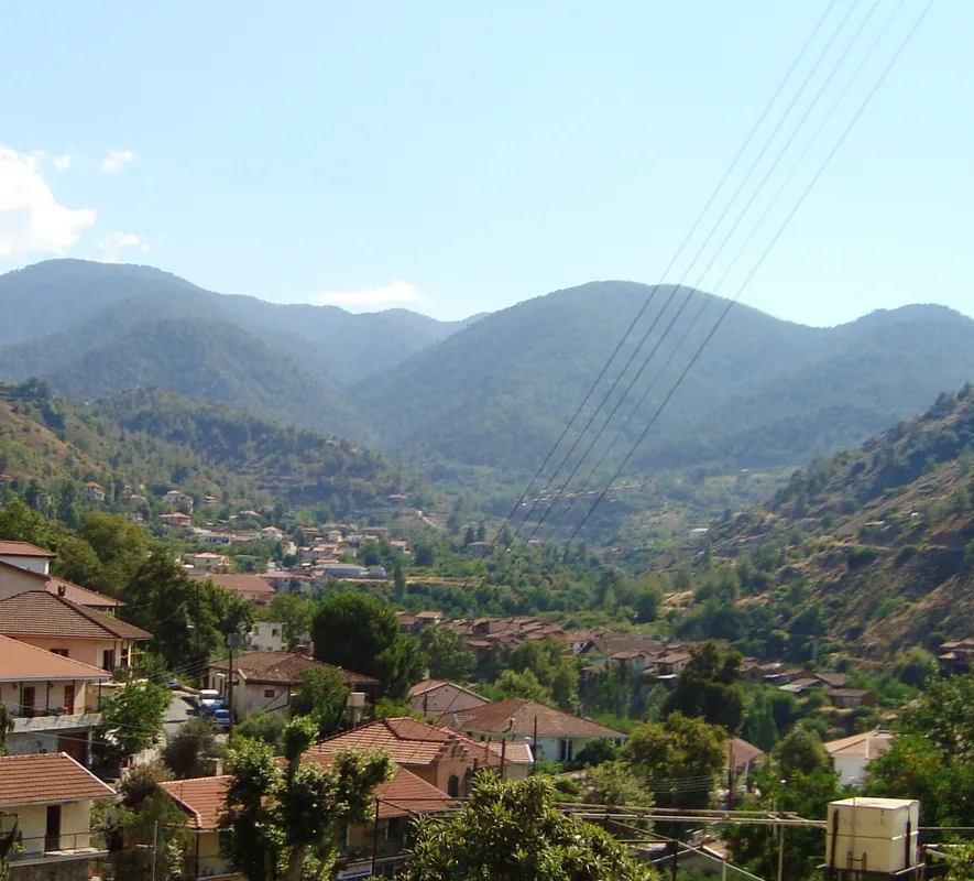
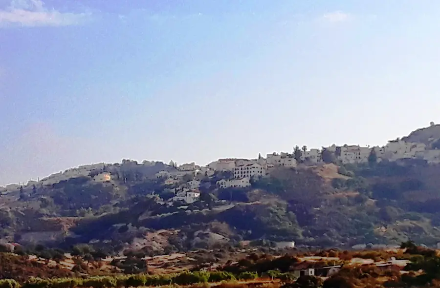
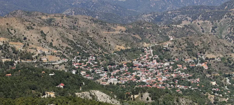
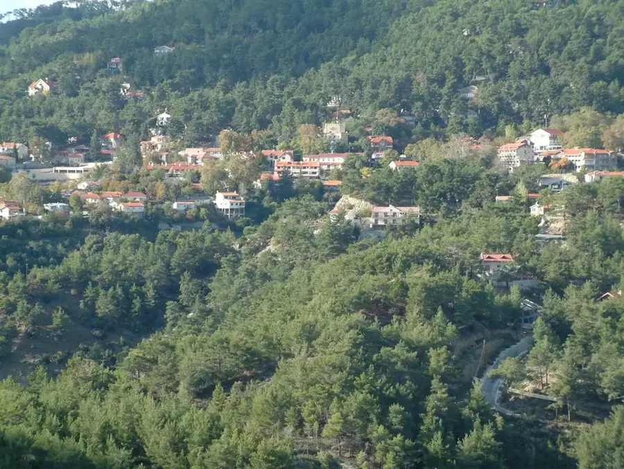
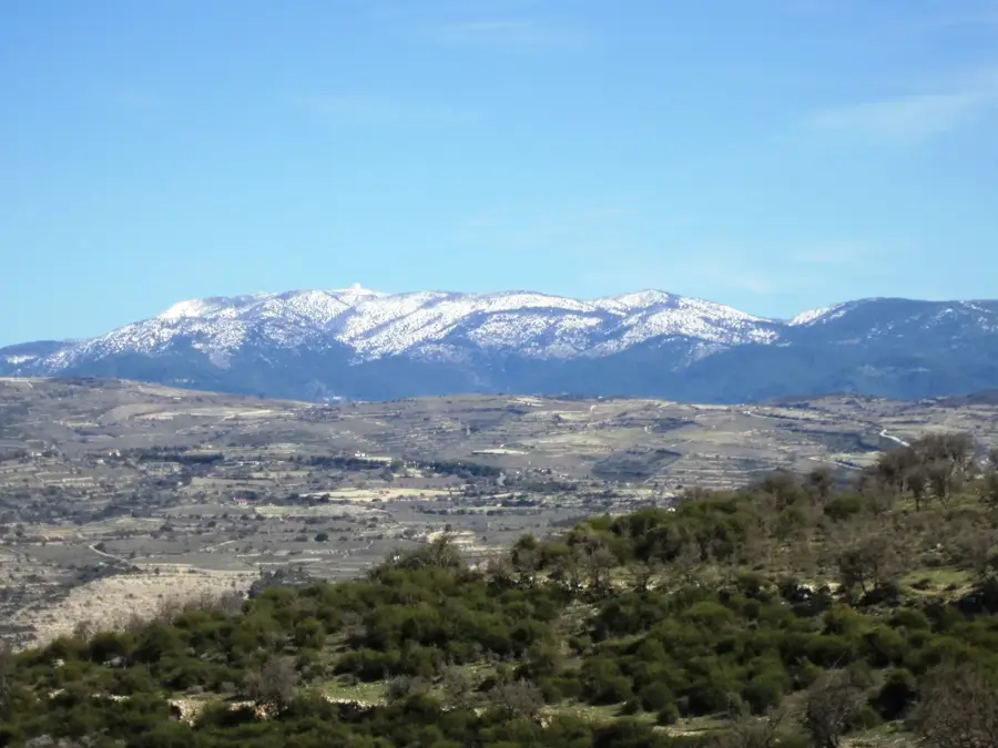
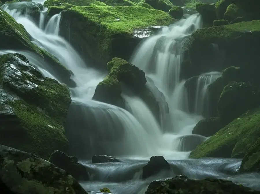
Diarizos River shapes the landscape, farming patterns and settlement layout in Cyprus along much of its course. One of the longest rivers in Cyprus, its valley is home to lush vegetation and several old bridges. From its headwaters through the middle reaches to the mouth, the river connects upland zones with coastal plains, weaving a network of gorges, floodplains and gallery woodland that acts as a corridor for many species. Walkers and cyclists find scenic stretches lined with bridges, old mills and irrigation works that make the importance of water on the island tangible. In dry months the bed reveals the classic Mediterranean rhythm, while winter and spring often bring noticeably stronger flow. The watercourse remains a quiet but vital lifeline for the region and a rewarding focus for nature-based itineraries.
- Location: Cyprus
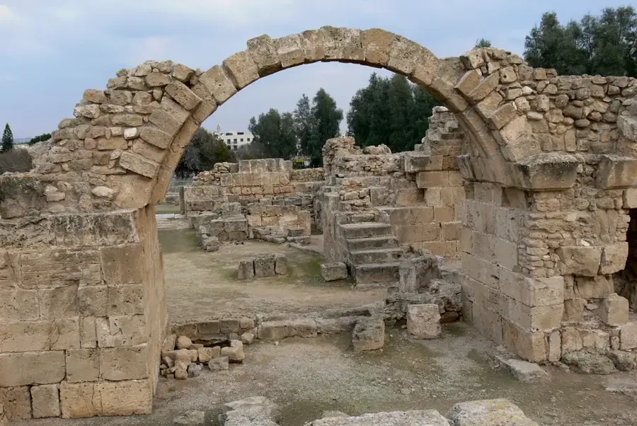
- Top sights: Kiln · Siege ramp and tunnels · Ancient Olive Press
- Nearby: Aphrodite's Rock (5 km)
Best time to visit & climate
The most pleasant time to visit is May, Jun, Nov.
| Jan | Feb | Mar | Apr | May | Jun | Jul | Aug | Sep | Oct | Nov | Dec | |
|---|---|---|---|---|---|---|---|---|---|---|---|---|
| Avg °C | 15 | 15 | 16 | 18 | 21 | 24 | 27 | 27 | 26 | 24 | 21 | 17 |
| Rain mm | 94 | 65 | 38 | 21 | 15 | 5 | 3 | 5 | 9 | 27 | 46 | 95 |
📋 Practical info
Geography
Facts
- Diarizos River connects upland zones with the coastal plain in Cyprus.
- Headwaters, middle reaches and mouth create varied habitats.
- Gorges, floodplains and gallery woodland act as ecological corridors.
- Bridges, old mills and irrigation works line its course.
- Summer flow drops in line with typical Mediterranean rivers.
- Walkers and cyclists find scenic stretches along the banks.
- The river remains a central lifeline for the region.
Explore nearby
Notable places around
Route planner — Car & Motorhome
Where do you start? We build the route here, with stops and country notes along the way.
© OpenStreetMap contributors · OpenRouteService
Sights in the town Diarizos River (10)
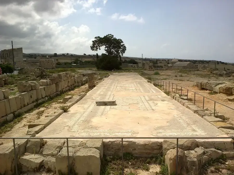
Ancient Olive Press
Ruins of an ancient olive press, with preserved millstones and press remains.
Medieval Castle🏰 castle
Ruins of a medieval castle, only wall fragments and towers remain.
Local Archaeological Museum of Palaipafos🏛 museum
Museum displaying finds from the Palaipafos area, including pottery and sculptures.
Sanctuary of the paphian Aphrodite🏛 museum
Remains of the Temple of Aphrodite in the village of Kouklia, a major sanctuary.
Paleá Énklistra
Attraction featuring historical ruins and natural surroundings.
Souskiou-Vathyrkakas Cemetery
Archaeological site, a Bronze Age cemetery in Cyprus.
Sights nearby
Frequently asked questions
Why is the Diarizos valley special?
Can you go rock climbing in the Diarizos valley?
What animals live in the valley?
Where does the Diarizos river end?
Are there wine routes in the valley?
Diarizos River: where is it located?
Diarizos River: what is there to see?
Diarizos River: when is the best time to visit?
Diarizos River: why is it worth visiting?

Nearby cities
History & landmarks

Nature
More places