Plizio Visual Lab
Diarizos Valley

Weather…
Water temperature…
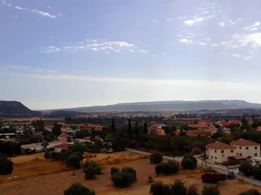
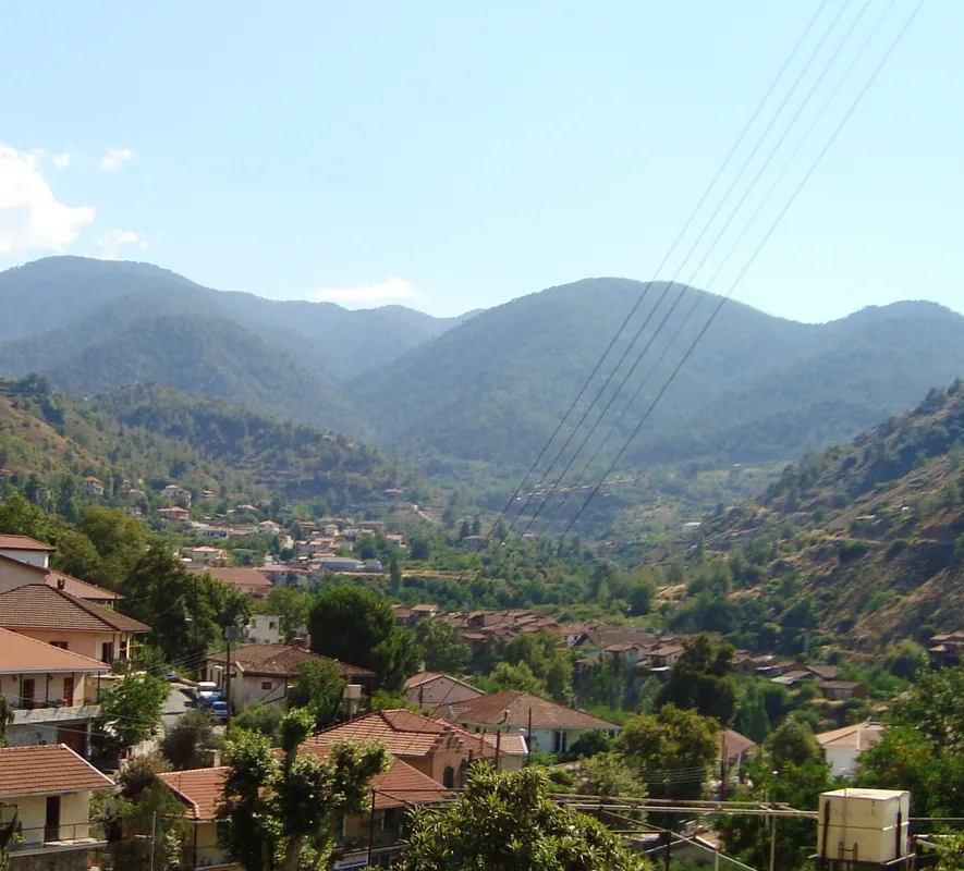
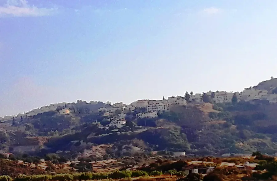
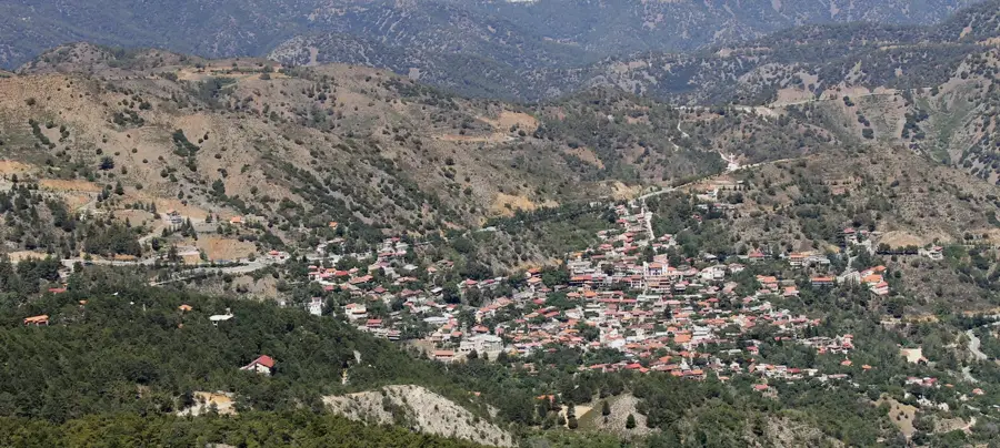
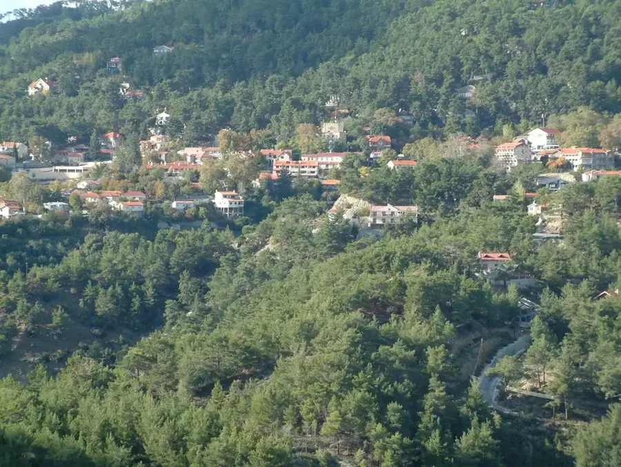
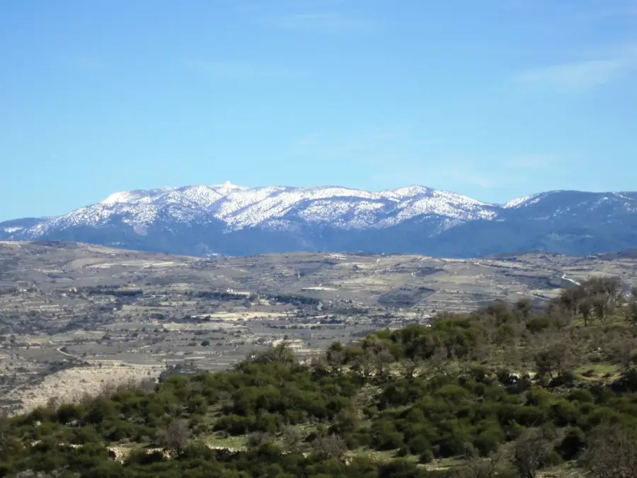
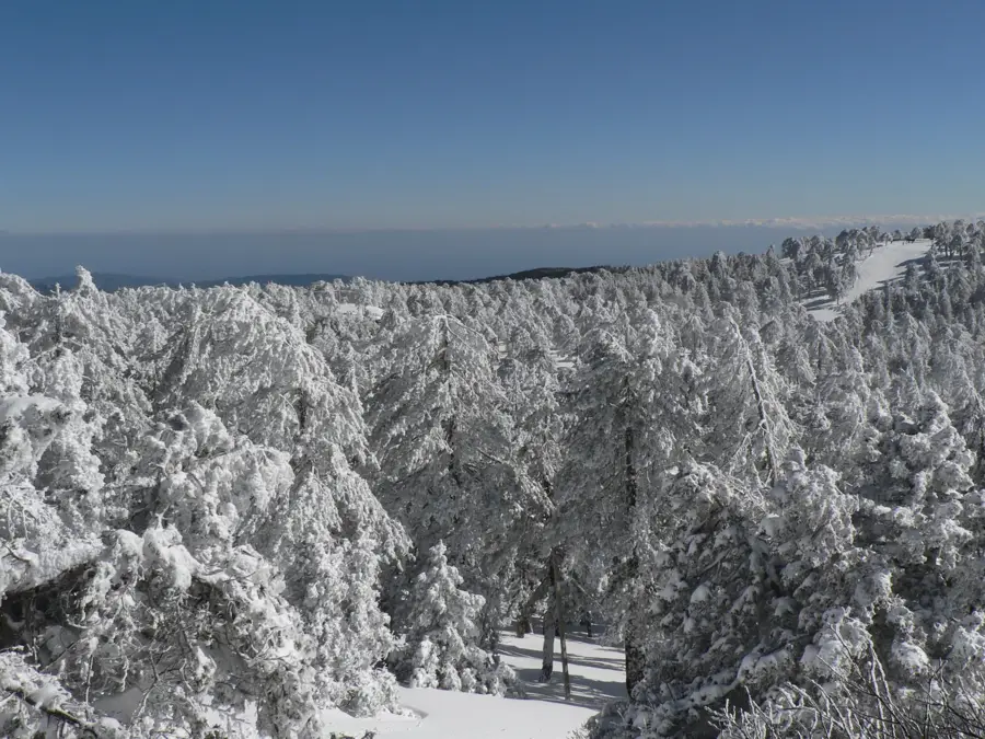
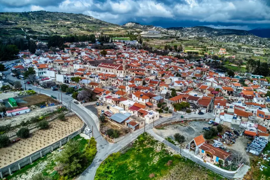
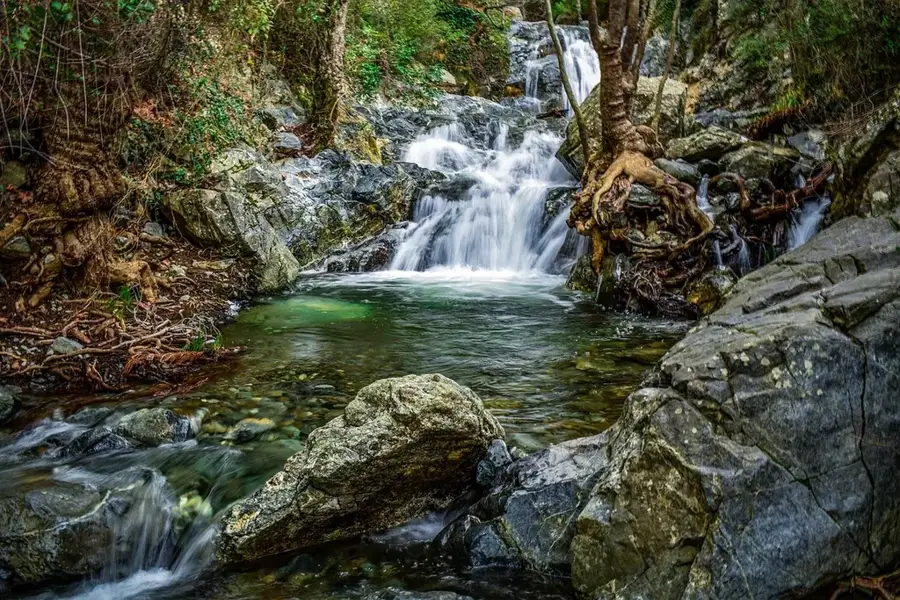
The Diarizos Valley, located in the Paphos district, is one of Cyprus's most significant ecological and agricultural corridors, stretching from the southern Troodos Mountains to the coast at Kouklia. The Diarizos River is the island's fourth-longest waterway, spanning approximately 42 kilometers and maintaining a relatively steady flow compared to other seasonal streams. The valley's geology features dramatic limestone cliffs and fertile alluvial soils that have supported viticulture for millennia, particularly for indigenous grape varieties like Xynisteri. Recognized as a Natura 2000 site, the area provides a critical habitat for rare birds of prey, such as the Griffon vulture, and numerous endemic flora. Historically, the valley functioned as a vital trade route connecting mountain copper mines to the ancient city-kingdom of Palaepaphos. Well-preserved Venetian bridges, including the iconic Tzelefos Bridge, stand as monuments to its medieval logistical importance. Today, the valley remains a center for traditional winemaking and eco-tourism.
- Location: Cyprus
- Nearby: Pissouri (8 km)
Best time to visit & climate
The most pleasant time to visit is May, Jun, Oct.
| Jan | Feb | Mar | Apr | May | Jun | Jul | Aug | Sep | Oct | Nov | Dec | |
|---|---|---|---|---|---|---|---|---|---|---|---|---|
| Avg °C | 11 | 12 | 14 | 17 | 20 | 24 | 27 | 27 | 25 | 22 | 17 | 13 |
| Rain mm | 89 | 55 | 33 | 18 | 13 | 5 | 2 | 3 | 10 | 27 | 43 | 92 |
📋 Practical info
Geography
Facts
- The Diarizos River spans 42 kilometers, making it the fourth longest in Cyprus.
- The valley is the primary nesting site for the endangered Griffon vulture.
- The medieval Tzelefos Bridge dates back to the 15th-century Venetian era.
- The Arminou Dam was completed in 1998 to manage the river's water resources.
- The entire valley is designated as a protected Natura 2000 site.
- The region is a key producer of traditional Cypriot Xynisteri wine grapes.
Explore nearby
Notable places around
Route planner — Car & Motorhome
Where do you start? We build the route here, with stops and country notes along the way.
© OpenStreetMap contributors · OpenRouteService
Sights nearby
Frequently asked questions
What is Diarizos Valley known for?
Are there medieval bridges there?
Can you go birdwatching there?
What type of wine is typical?
What is the landscape like?
Diarizos Valley: where is it located?
Diarizos Valley: when is the best time to visit?
Diarizos Valley: why is it worth visiting?

Nearby cities
History & landmarks

Nature
More places