Plizio Visual Lab

Akamas Highlands

Plizio editorial teamData Sources
Mountain
—°3
Akamas Highlands (Cyprus)

Weather…

The Akamas Highlands form the topographic backbone of Cyprus's northwesternmost peninsula, representing one of the island's last remaining wilderness areas. This rugged region is characterized by steep limestone cliffs, deep gorges like the Avakas Gorge, and elevated plateaus rising up to 600 meters above sea level. The flora of the highlands is exceptionally diverse, hosting numerous endemic species such as the Cyprus tulip. Geologically, the area is part of an ophiolite complex, a section of oceanic crust uplifted during alpine orogeny. In mythology, the highlands are deeply connected to the goddess Aphrodite, who is said to have bathed in the region's natural springs. The Akamas Highlands are a critical sanctuary for migratory birds and rare reptiles. Due to its remoteness and challenging terrain, the region has remained largely untouched by large-scale development, making it a premier destination for ecological research and adventure hiking.

Best time to visit & climate

The most pleasant time to visit is May, Jun, Oct.

JanFebMarAprMayJunJulAugSepOctNovDec
Avg °C111214172024272725221713
Rain mm895533181352310274392

📋 Practical info

🧭
Getting there
To access the Akamas Highlands in the northwest, begin from nearby coastal or peninsula roads. The approach follows established routes directly into the hills.
📅
Best season
Spring and autumn provide the best conditions to explore the Akamas Peninsula. Stable weather makes the hilly structure much easier and safer to navigate overall.
⛰️
Terrain & paths
The terrain consists of the hilly structure of the peninsula. Prepare for uneven natural surfaces and bring sturdy footwear for reliable traction in this natural area.
🎒
What to bring
It is highly recommended for visitors to pack adequate water and sun protection, as shaded spots are rare. A good map and essential first-aid supplies should always be in your backpack.
🅿️
Parking
Cars are normally left at official parking spots in neighboring villages before the hike begins. An early arrival usually guarantees the best spaces for the entire day's adventure.
⚠️
Safety
Mindfulness towards nature is essential, especially regarding unpredictable weather changes. It is a fundamental rule to communicate your route in advance and never leave the marked trails.
⏱️
Time needed
For a comprehensive impression, several hours should generally be planned. The actual duration varies depending on individual walking pace and the desire to take breaks along the route.

Geography

Coordinates
34.95000, 32.35000

Facts

  • The highlands reach their peak elevation at 596 meters near Pano Arodes.
  • The area is home to 168 bird species and 35 endemic plant varieties.
  • The Avakas Gorge features limestone walls towering over 30 meters high.
  • Geologically, the region is part of the unique Mamonia Terrane.
  • The highlands have been under strictly managed protection since 1989.
  • Ruins of ancient lighthouses and watchtowers are scattered across the peaks.

Explore nearby

Notable places around

Route planner — Car & Motorhome

Where do you start? We build the route here, with stops and country notes along the way.

Vehicle
Only stops with (optional):

© OpenStreetMap contributors · OpenRouteService

Sights in the town Akamas Highlands (3)

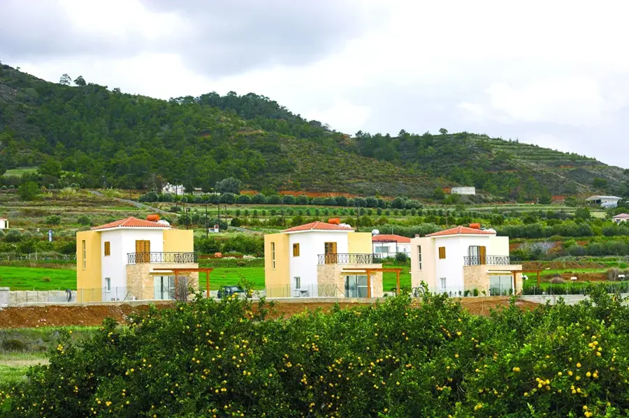
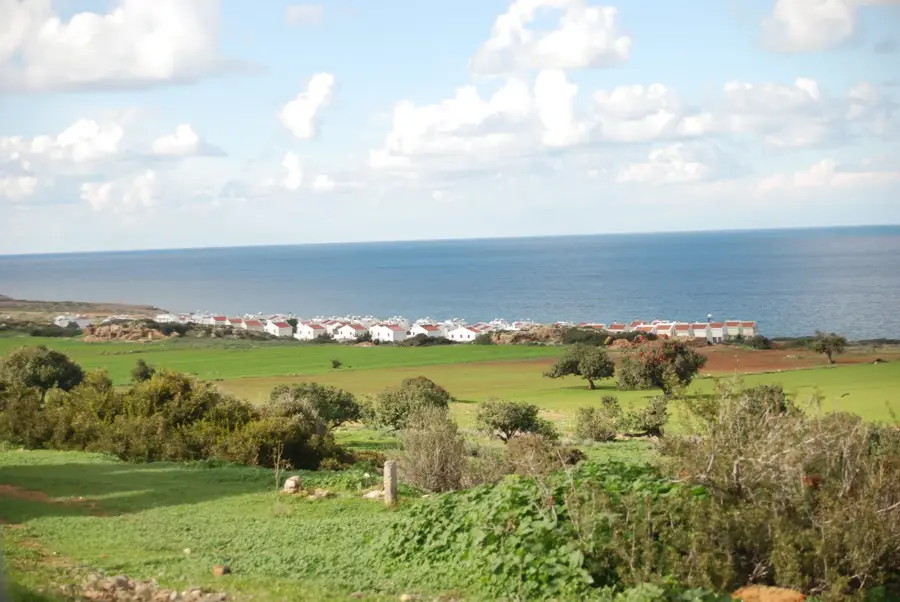
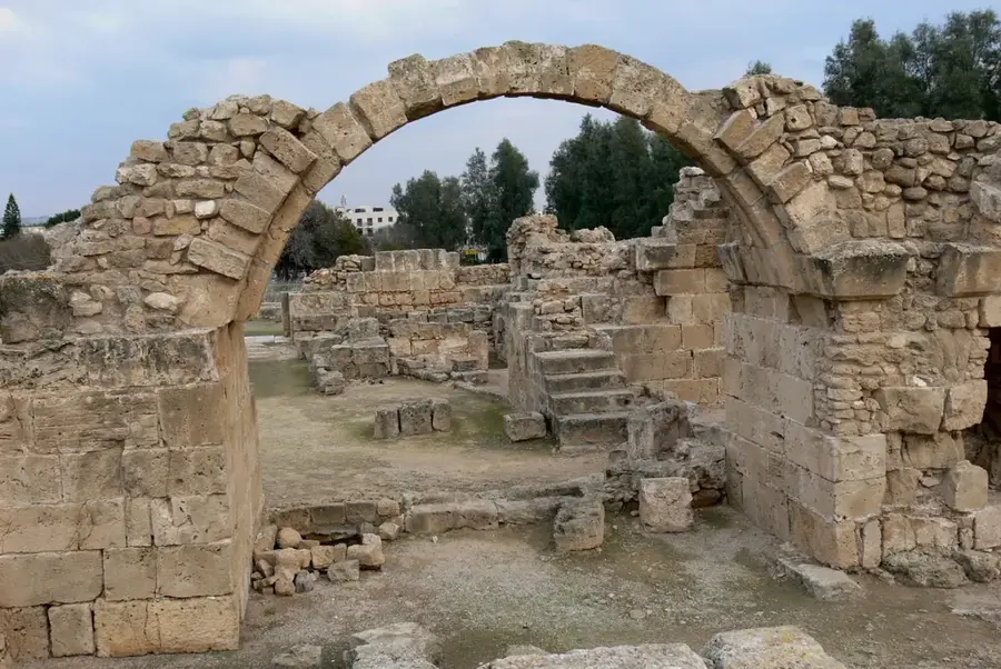
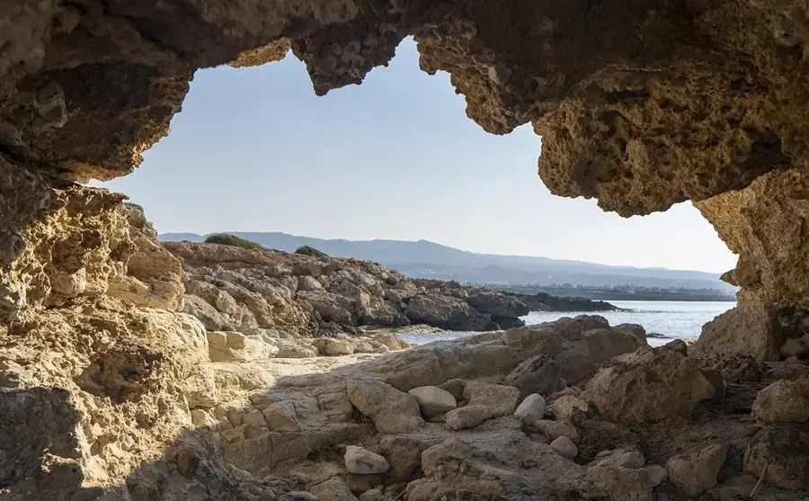
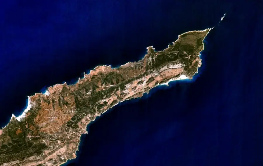
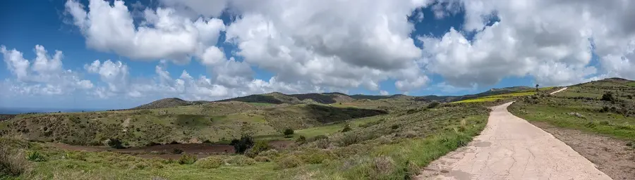
North Lara Beach🎡 recreation

Surrounded by the rugged beauty of the Akamas Highlands, North Lara Beach stands out as a pristine natural jewel in Cyprus. The secluded location practically guarantees an almost untouched atmosphere, where the rhythmic sound of the surf sets the primary tone. Hikers and nature lovers frequently use the wide sandy beach as a deeply restorative destination for a dip in the Mediterranean. Since the approach can be somewhat adventurous, an off-road capable vehicle is highly advisable for the journey.

Lara Beach🎡 recreation

A pristine beach in the Akamas region, famous for its turtle conservation efforts.

Turtle station📍 landmark

A conservation station focused on the protection of sea turtle nests.

Sights nearby

Frequently asked questions

When is the best time for hiking?
Spring (March to May) is handy as temperatures are mild and wildflowers are in bloom.
Is a 4x4 vehicle required?
Yes, for the unpaved tracks in the highlands, a 4x4 vehicle is strongly recommended.
Are there marked hiking trails?
There are several trails such as the Adonis and Aphrodite trails which are well marked.
Are there drinking water points?
Hardly any in the wild. Always carry at least 2 liters of water per person.
Can you see rare animals there?
Yes, with luck you can observe Cyprus mouflons or rare birds of prey.
Akamas Highlands: where is it located?
Akamas Highlands is located in Cyprus.
Akamas Highlands: what is there to see?
Highlights include North Lara Beach, Lara Beach, Turtle station.
Akamas Highlands: when is the best time to visit?
The most pleasant time to visit is May, Jun, Oct.
Akamas Highlands: why is it worth visiting?
The Akamas Highlands form the topographic backbone of Cyprus's northwesternmost peninsula, representing one of the island's last remaining wilderness areas.
View on map → The Top 50 Attractions → Most beautiful beaches → OpenStreetMap →
Europe
Explore with Plizio Discover more places in Europe
More places in Cyprus →

Nearby cities

History & landmarks

Nature

More places