Plizio Visual Lab
Javorje
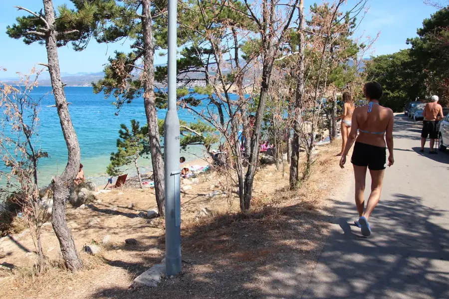
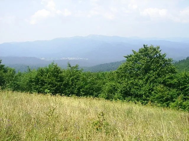
Javorje is a forested mountain ridge in the western part of Gorski Kotar, belonging to the Velika Kapela mountain group and reaching an elevation of about 1200 meters. The area is renowned for its dense virgin forests of beech and fir, which constitute some of the best-preserved forestry resources in Croatia. Geologically, the region is characterized by deep karst features, including numerous hidden caves and deep sinkholes that make the terrain challenging to navigate. Javorje plays a crucial role in the local ecosystem as a vital habitat for large predators such as bears, wolves, and lynxes. Historically, the area was primarily used for timber production, with old logging paths now serving as the foundation for an extensive network of hiking trails. Due to the high annual precipitation in this region, the ground is often damp, fostering a lush flora of mosses and ferns. For nature enthusiasts, Javorje provides profound silence and an authentic wilderness experience far removed from the mainstream tourist tracks.
- Location: Croatia
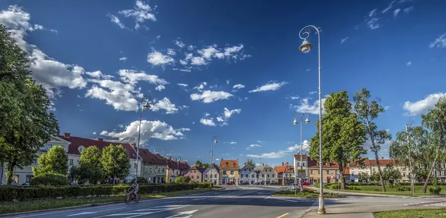
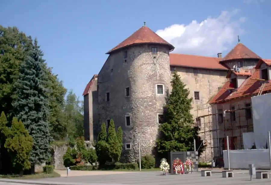
- Top sights: Stari grad Stelnik · Toplice Lešće
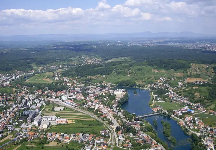
- Nearby: Duga Resa (12 km)
Best time to visit & climate
The most pleasant time to visit is Jun–Aug.
| Jan | Feb | Mar | Apr | May | Jun | Jul | Aug | Sep | Oct | Nov | Dec | |
|---|---|---|---|---|---|---|---|---|---|---|---|---|
| Avg °C | 0 | 1 | 6 | 11 | 15 | 20 | 22 | 22 | 16 | 11 | 6 | 1 |
| Rain mm | 77 | 87 | 77 | 86 | 107 | 90 | 78 | 92 | 130 | 109 | 116 | 89 |
📋 Practical info
Geography
Facts
- The mountain ridge reaches an elevation of roughly 1200 meters.
- Part of the Velika Kapela massif in central Gorski Kotar.
- Home to protected primary forests of beech and silver fir.
- Key sanctuary for the strictly protected Eurasian lynx.
- Features one of the highest annual precipitation rates in Croatia.
- Geologically characterized by deep Dinaric karst and sinkholes.
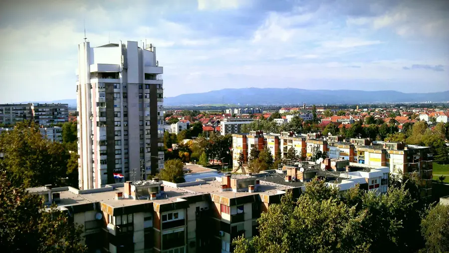
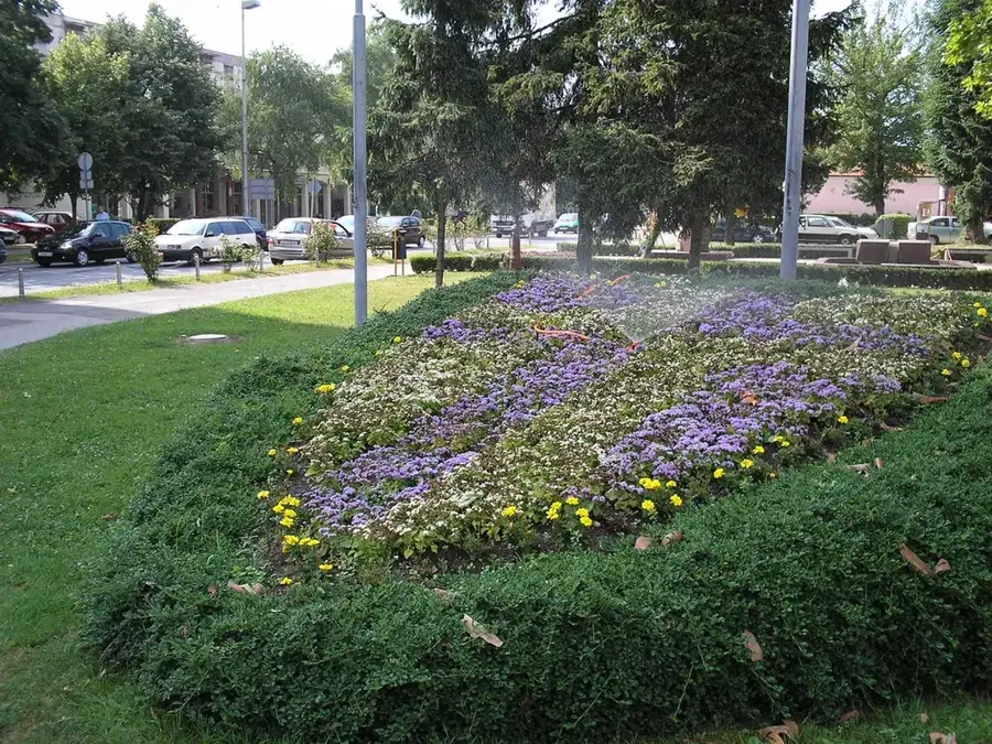
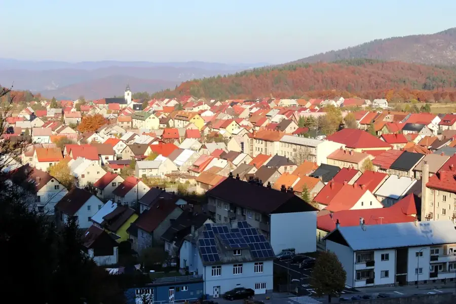
Explore nearby
Notable places around
Route planner — Car & Motorhome
Where do you start? We build the route here, with stops and country notes along the way.
© OpenStreetMap contributors · OpenRouteService
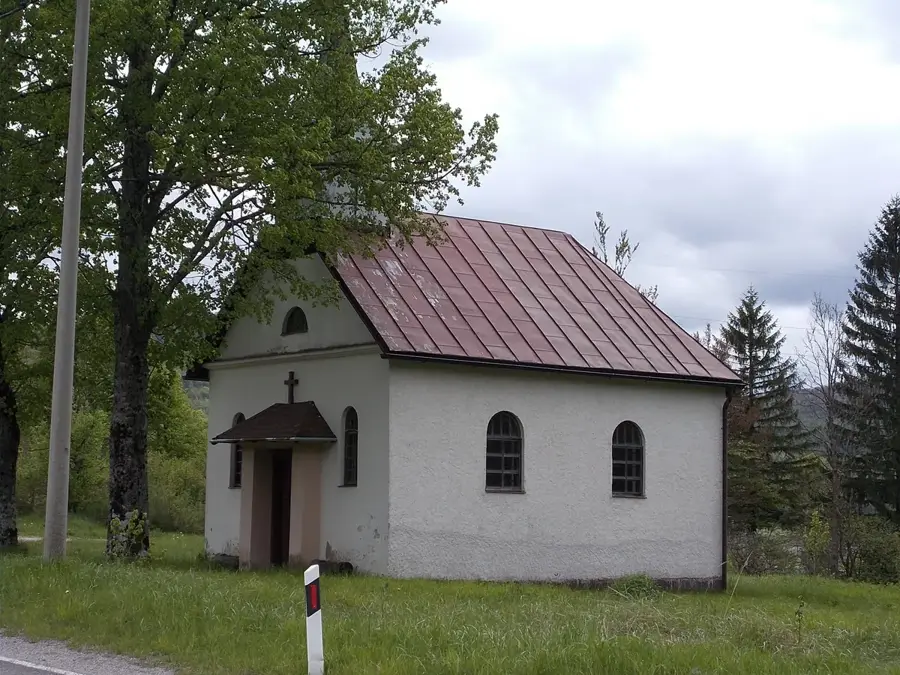
Sights in the town Javorje (2)
Sights nearby
Frequently asked questions
In which region is the Javorje massif located?
How long does the hike to the summit take?
Is there a viewing platform on the summit?
Is the area forested?
What is Vagabundina koliba?
Javorje: where is it located?
Javorje: what is there to see?
Javorje: when is the best time to visit?
Javorje: why is it worth visiting?

Nearby cities