Plizio Visual Lab
Biokovo
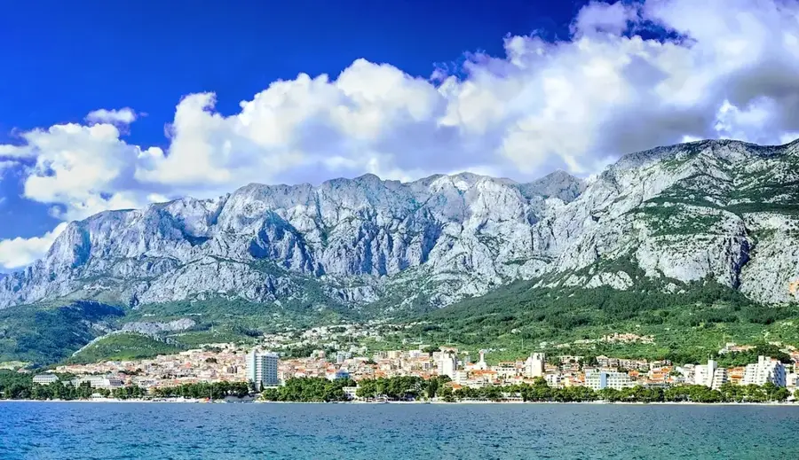
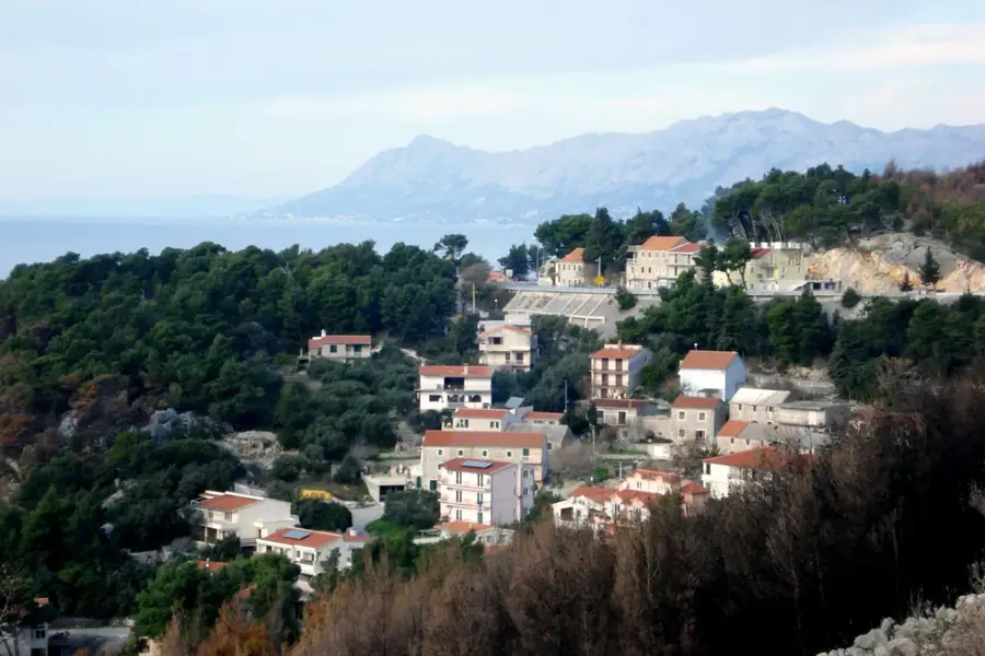
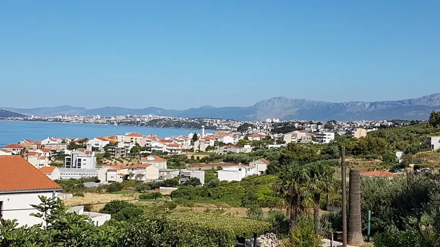
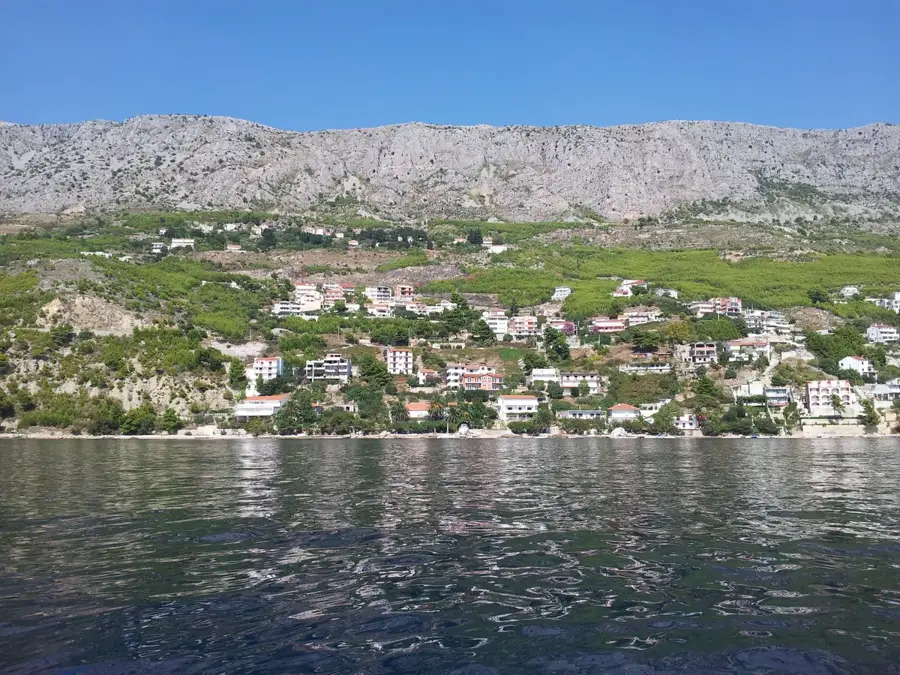
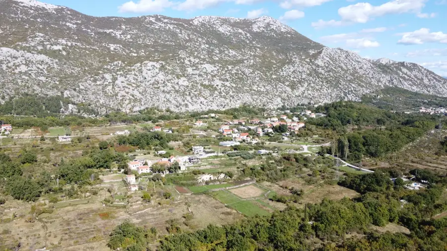
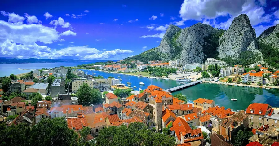
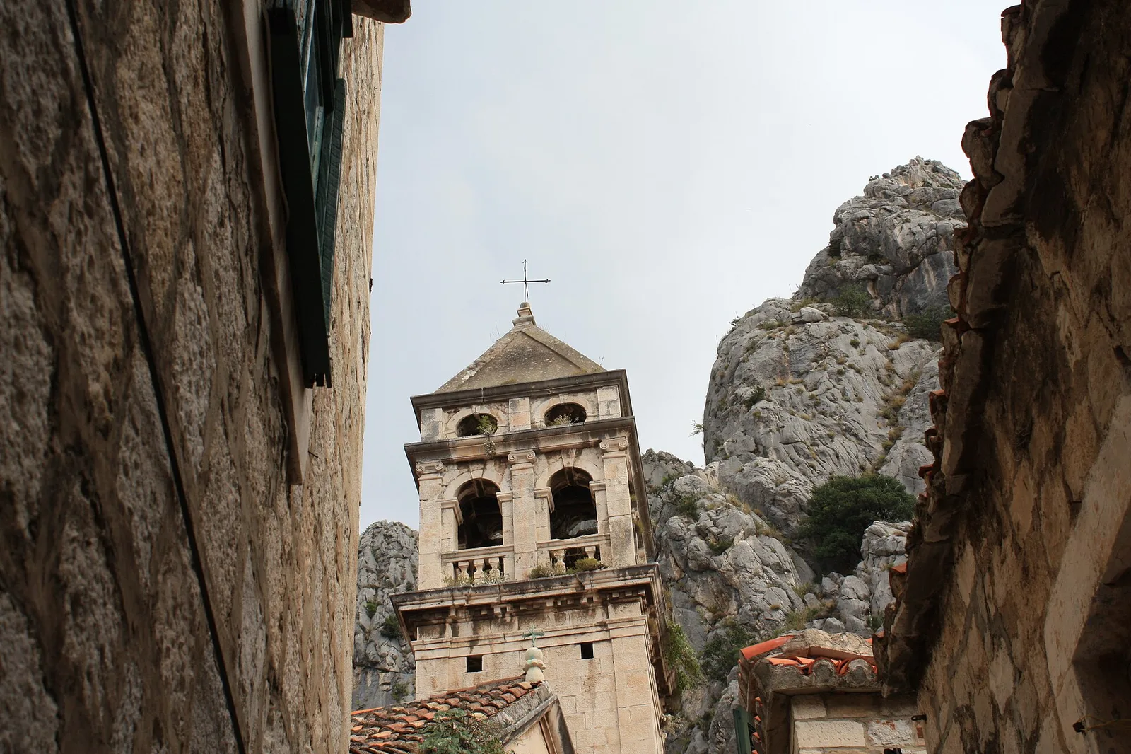
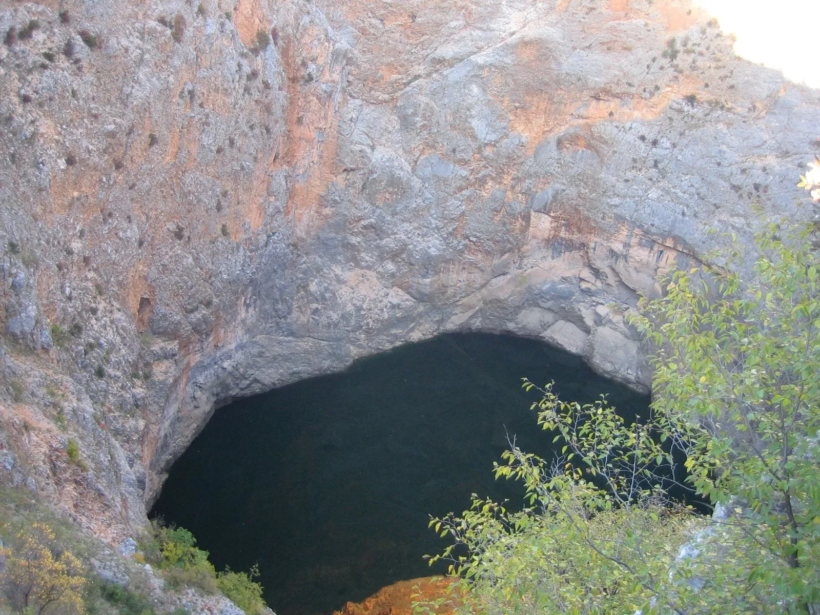
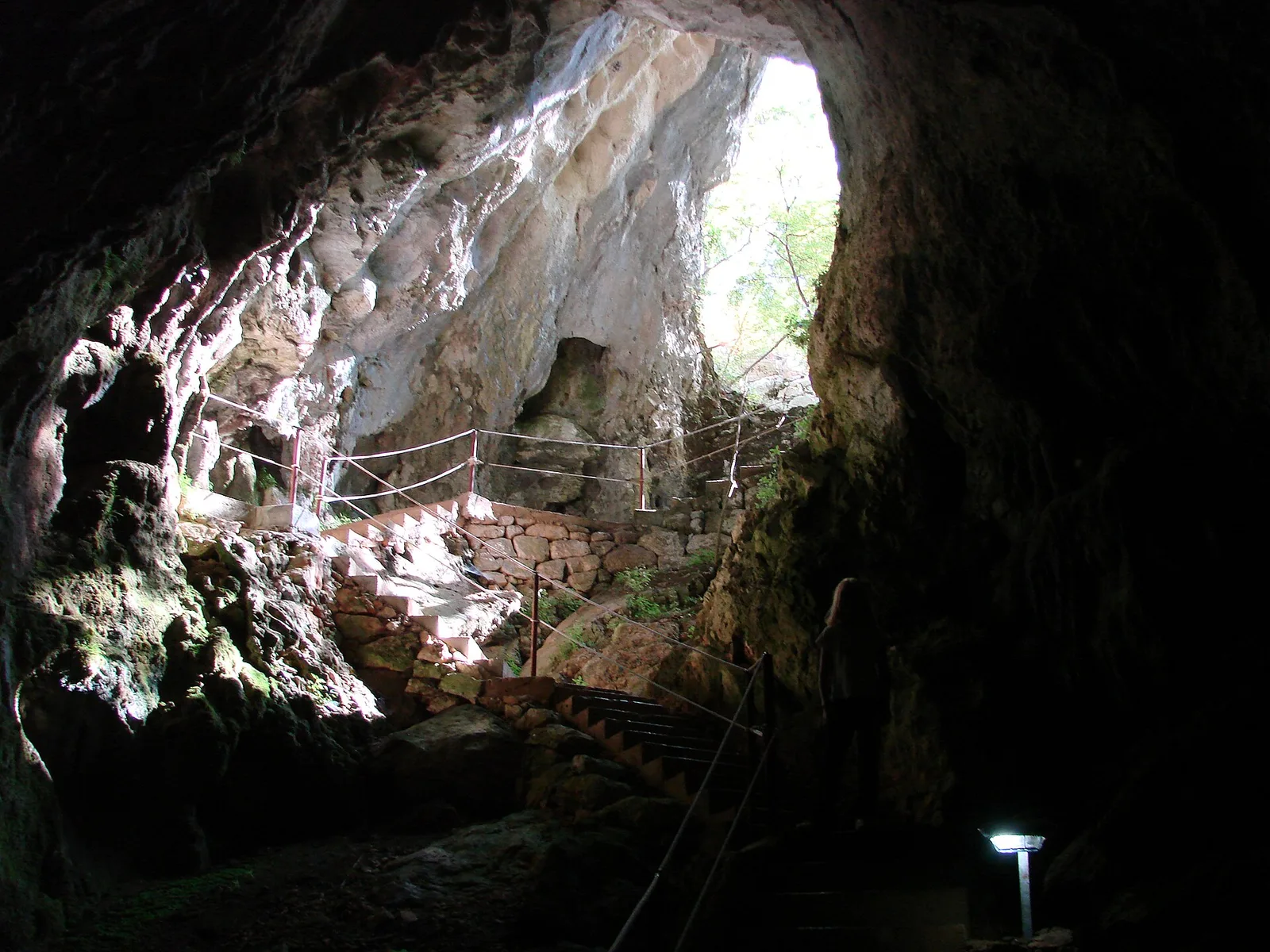
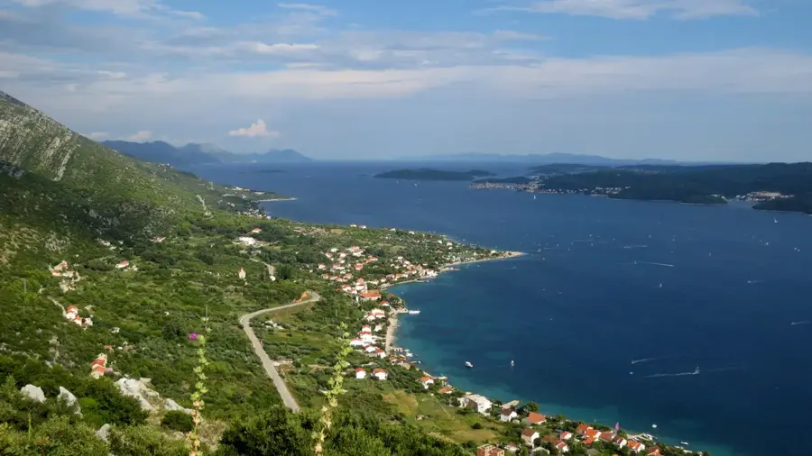
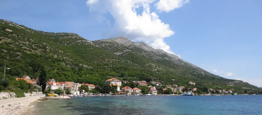
Biokovo is the second-highest mountain range in Croatia, stretching along the central Adriatic coast above the Makarska Riviera. Its highest point is the Sveti Jure peak at 1,762 meters, accessible via one of Europe's highest paved roads. Geologically, the massif consists almost exclusively of white limestone and features extreme karst forms such as deep sinkholes, caves, and canyons. Since 1981, the mountain has been protected as a nature park, covering an area of nearly 200 square kilometers. A modern landmark is the Skywalk Biokovo at Ravna Vlaška, a glass-floored viewing platform protruding over the abyss at an altitude of 1,228 meters. The park's flora is rich in endemics, including the Biokovo bellflower, while the fauna is characterized by chamois and golden eagles. Historically, the mountain was a site for alpine pastoralism, with old stone huts and shepherd paths still visible today. The contrast between snow-capped peaks in winter and the azure sea at the mountain's foot makes Biokovo one of the most striking landscapes in the Mediterranean.
- Location: Croatia
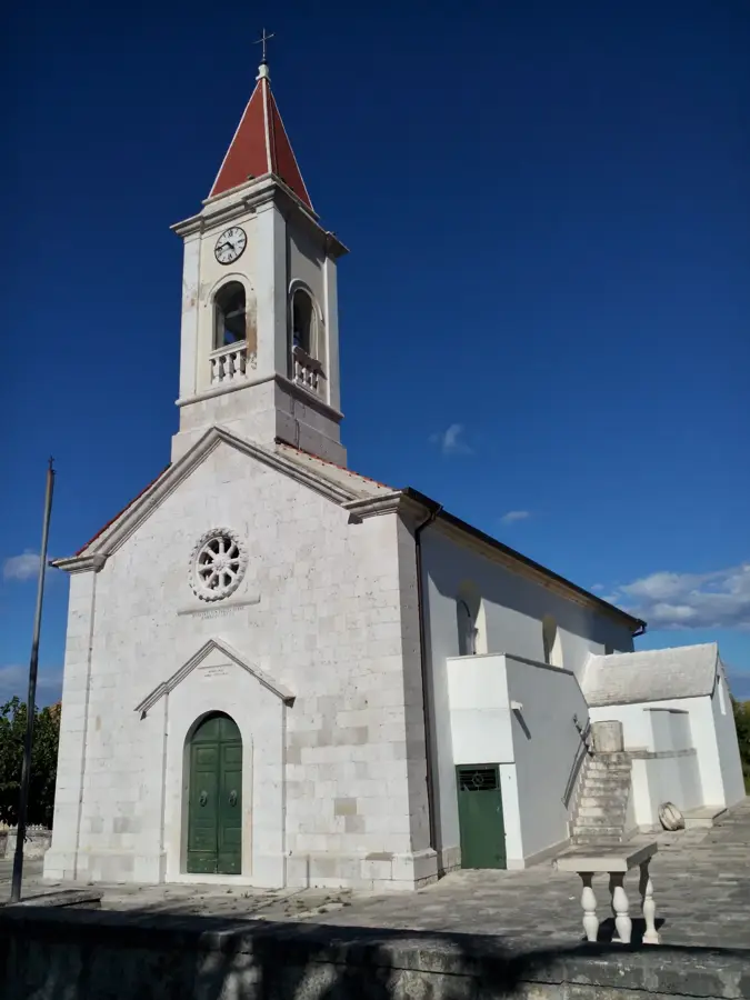
- Top sights: paragliding take off site, Miletin Bor, 650 m · Ercegova Gradina · Svetište Majke Božje Lurdske
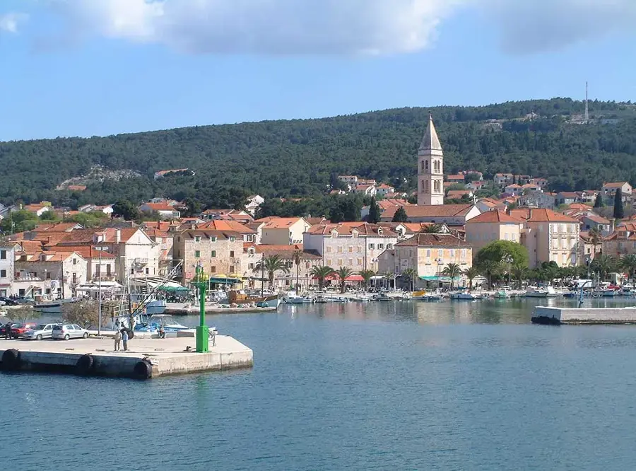
- Nearby: Baška Voda (6 km)
Best time to visit & climate
The most pleasant time to visit is Jun–Aug.
| Jan | Feb | Mar | Apr | May | Jun | Jul | Aug | Sep | Oct | Nov | Dec | |
|---|---|---|---|---|---|---|---|---|---|---|---|---|
| Avg °C | 3 | 4 | 7 | 11 | 15 | 20 | 24 | 24 | 18 | 13 | 9 | 4 |
| Rain mm | 93 | 88 | 80 | 68 | 57 | 50 | 28 | 38 | 80 | 87 | 123 | 117 |
📋 Practical info
Geography
Facts
- Highest peak: Sveti Jure (1,762 m)
- Year of nature park establishment: 1981
- Skywalk altitude: 1,228 meters
- Park surface area: 196 km²
- Number of endemic plants: over 40
- Deepest cave: Amfora (-788 m)
Explore nearby
Notable places around
Route planner — Car & Motorhome
Where do you start? We build the route here, with stops and country notes along the way.
© OpenStreetMap contributors · OpenRouteService
Sights in the town Biokovo (10)
Stara tvrdava
Ruins of an old fortress.
FKK
Nudist beach on the coast.
Plaža Ramova
Beach section along the shore.
Cvitačka FKK
Nudist beach area.
Wibit
Water park with inflatable obstacles in the sea.
Aquapark Sharko
Water park with slides and pools.
Sights nearby
Frequently asked questions
How can you reach the summit of Biokovo?
What is the Biokovo Skywalk?
Is there an entrance fee for the park?
What clothing is recommended for hiking?
Is there drinking water on the mountain?
Biokovo: where is it located?
Biokovo: what is there to see?
Biokovo: when is the best time to visit?
Biokovo: why is it worth visiting?

Nearby cities