Plizio Visual Lab
Ngiri Swamp Forest

Weather…
Water temperature…
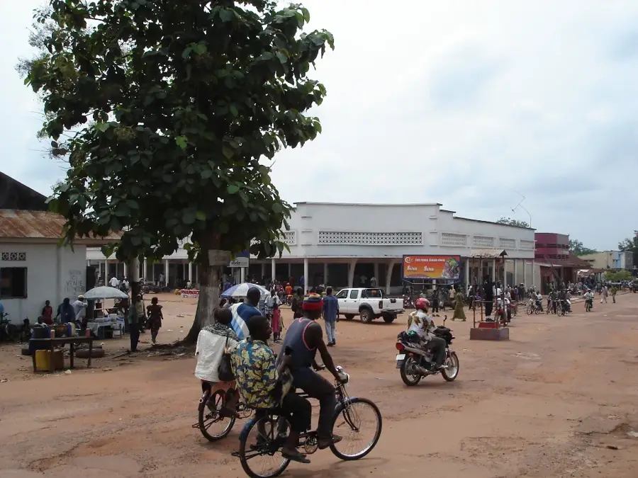
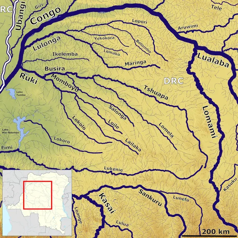
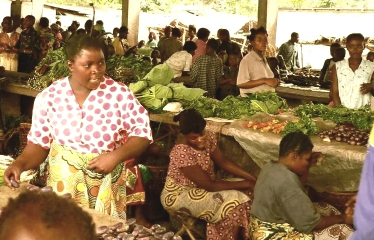
The Ngiri Swamp Forest is a vast wetland in the northwestern Democratic Republic of Congo, spanning the Équateur and Mongala provinces. It is part of the immense Congo Basin and is traversed by the Ngiri River, a tributary of the Ubangi River. This ecosystem is a complex mosaic of permanently flooded forests, seasonal marshes, and open water bodies. It plays a crucial role in regulating the region's water cycle, storing large amounts of water during floods and releasing it slowly during the dry season. The swamp forest is a biodiversity hotspot, home to a wide variety of fish species that are essential for the food security of local communities, mainly Bantu and indigenous peoples. Furthermore, it provides habitat for endangered species such as the forest elephant and various primates. In 2008, the Ngiri Triangle was designated as a Ramsar Site of International Importance to recognize and protect its ecological value. The main threats to this area include unsustainable fishing practices, deforestation of the surrounding dryland forests for agriculture and fuelwood, and potential future oil exploration. Protecting the Ngiri Swamp Forest is critical for conserving biodiversity and securing the livelihoods of the people who depend on its resources.
Best time to visit & climate
The most pleasant time to visit is Jan, Feb, Dec.
| Jan | Feb | Mar | Apr | May | Jun | Jul | Aug | Sep | Oct | Nov | Dec | |
|---|---|---|---|---|---|---|---|---|---|---|---|---|
| Avg °C | 27 | 28 | 27 | 27 | 27 | 26 | 26 | 26 | 26 | 26 | 26 | 26 |
| Rain mm | 52 | 104 | 158 | 140 | 137 | 142 | 156 | 152 | 189 | 207 | 185 | 74 |
📋 Practical info
Geography
Facts
- A vast wetland in Équateur and Mongala provinces.
- Traversed by the Ngiri River, a tributary of the Ubangi.
- A mosaic of swamp forests, marshes, and open water.
- Regulates the regional water cycle.
- Designated a Ramsar Site of International Importance in 2008.
- Habitat for forest elephants and many fish species.
Explore nearby
Notable places around
Route planner — Car & Motorhome
Where do you start? We build the route here, with stops and country notes along the way.
© OpenStreetMap contributors · OpenRouteService
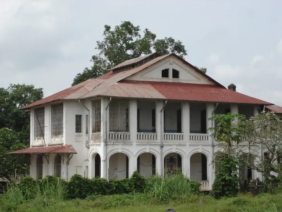
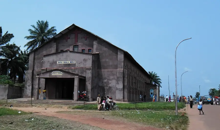
Sights in the town Ngiri Swamp Forest (1)
Sights nearby
Frequently asked questions
What is the Ngiri Swamp Forest?
Is the area protected?
How do you get there?
What animals live in the swamp?
Is fishing practiced there?
Ngiri Swamp Forest: where is it located?
Ngiri Swamp Forest: when is the best time to visit?
Ngiri Swamp Forest: why is it worth visiting?

Nearby cities
History & landmarks
More places