Plizio Visual Lab
Mongoumba
ℹ️Practical info — Mongoumba
▾
🌤 Weather — 5 days
📍 Nearby
Sights nearby
💡 Tips
- Access is primarily by river; confirm boat schedules in advance.
- Bring sufficient cash as ATMs and card payments are not available.
- A local guide is recommended for exploring the surrounding Lobaye forest.
- Always carry mosquito repellent and antimalarial medication.
🍽 Food
Try freshly caught fish from the Ubangi River at small local eateries.
🛍 Shopping · 🧘 Quiet spots
Visit the local market for fresh produce and basic necessities.
Take a peaceful walk along the riverbank at sunset.
Water temperature…
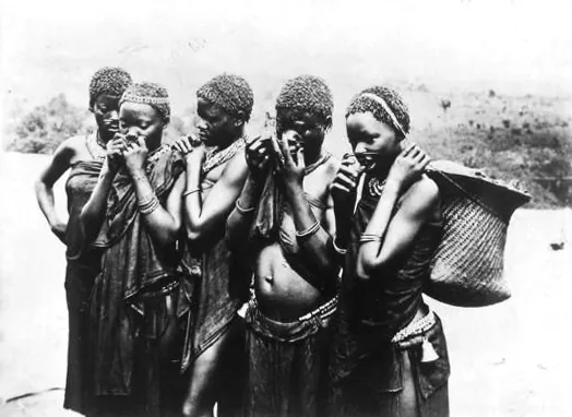
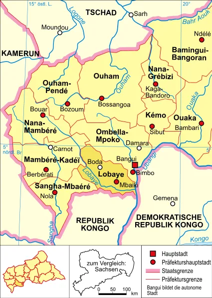
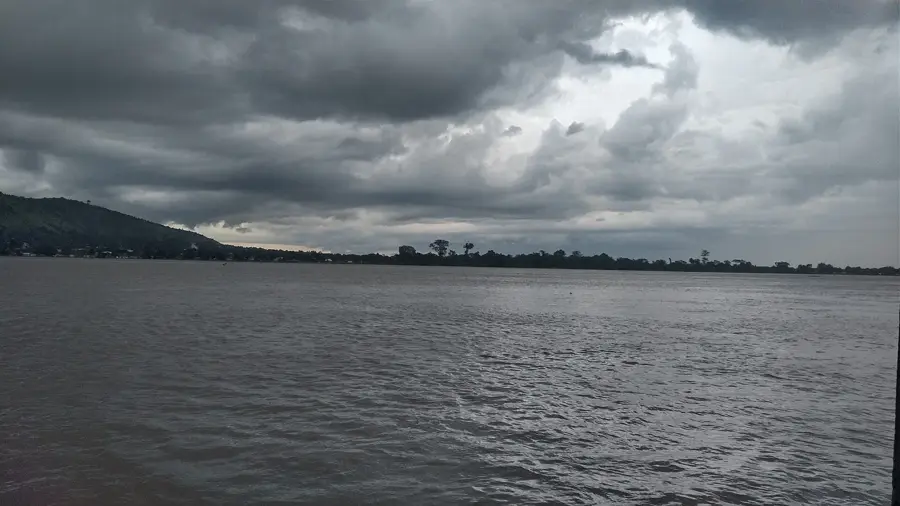
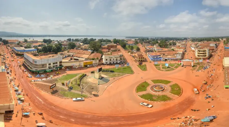
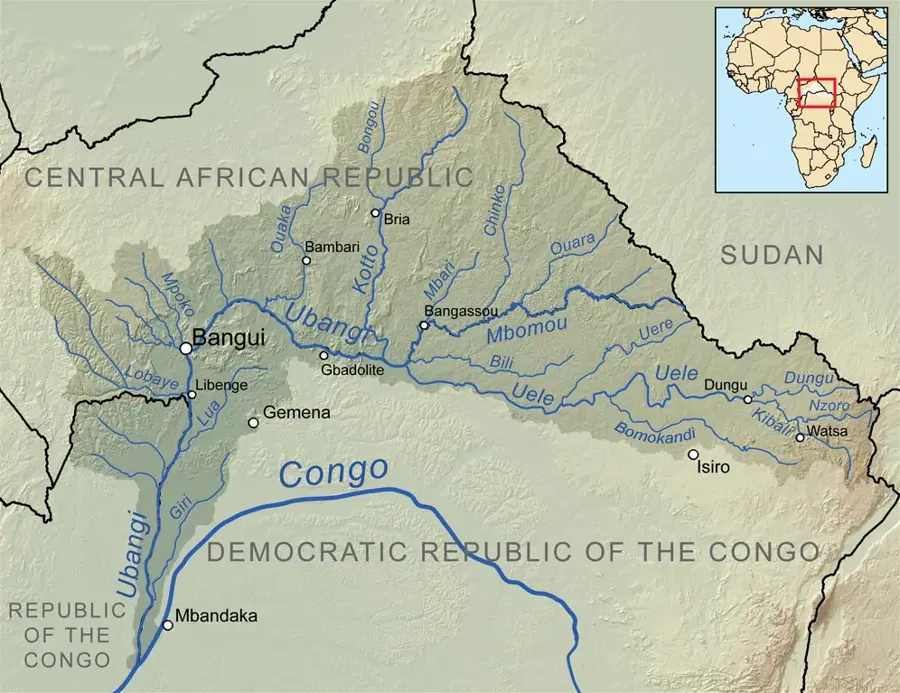
Mongoumba is a significant port town in the far south of the Lobaye prefecture, situated on the northern banks of the Ubangi River at the border with the Democratic Republic of the Congo and the Republic of the Congo. The town functions as the primary river port for the region and serves as a critical transshipment hub for timber, palm products, and agricultural goods from the southwest. Geographically, Mongoumba is deeply rooted in the equatorial rainforest belt, resulting in a humid tropical climate and extraordinary biodiversity in its surroundings. Historically, the town was a vital point for riverine trade during the colonial era, serving as a gateway to the southern Congo Basin. A unique feature of the region is the presence of large indigenous Aka communities, whose traditional rainforest knowledge is deeply embedded in the local culture. Beyond port operations, the economy relies on fishing in the Ubangi River and subsistence farming. Due to its border location, Mongoumba is a melting pot of various cultures and languages, giving the town a dynamic character. Despite its strategic riverside position, the town faces infrastructure challenges yet plays an indispensable role in regional integration within the tri-border area.
- Location: Central African Republic
- Nearby: Mbaïki (70 km)
- Population: ~9.985 (2023)
Best time to visit & climate
The most pleasant time to visit is Jan, Nov, Dec.
| Jan | Feb | Mar | Apr | May | Jun | Jul | Aug | Sep | Oct | Nov | Dec | |
|---|---|---|---|---|---|---|---|---|---|---|---|---|
| Avg °C | 28 | 29 | 28 | 27 | 27 | 26 | 26 | 25 | 25 | 25 | 26 | 26 |
| Rain mm | 18 | 74 | 118 | 127 | 136 | 134 | 170 | 189 | 156 | 221 | 107 | 26 |
Geography
Facts
- Mongoumba is located on the Ubangi River at the tri-border area.
- The town is a major center for the indigenous Aka pygmy culture.
- The port of Mongoumba is used for exporting tropical timber.
- The town is situated approximately 100 kilometers south of Mbaïki.
- Mongoumba hosts one of the country's southernmost customs stations.
- The region records some of the highest annual rainfall in the nation.
Explore nearby
Notable places around
Route planner — Car & Motorhome
Where do you start? We build the route here, with stops and country notes along the way.
© OpenStreetMap contributors · OpenRouteService
Frequently asked questions
What is special about Mongoumba?
Can you meet Aka Pygmies there?
How to get from Bangui to Mongoumba?
Is there a timber industry there?
When is the best time to travel?
Mongoumba: where is it located?
Mongoumba: when is the best time to visit?
Mongoumba: why is it worth visiting?

Nearby cities

History & landmarks


Nature
More places