Plizio Visual Lab
Mount Mvoula

Weather…
Water temperature…
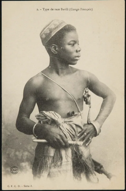
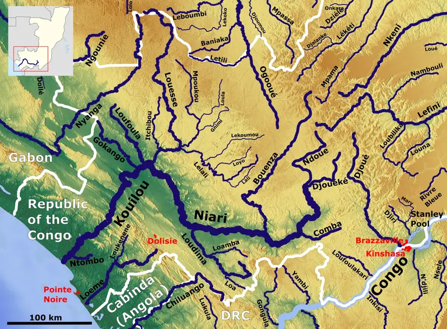
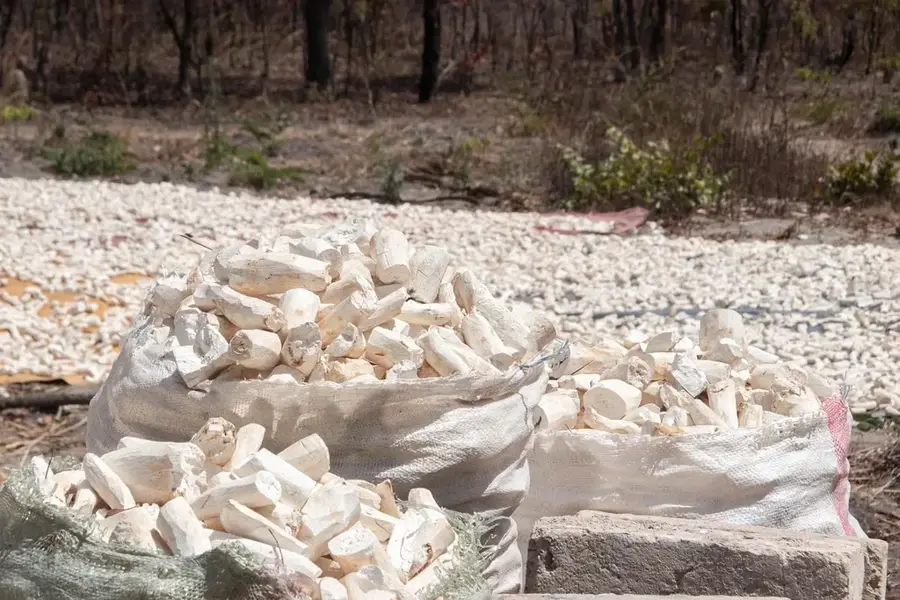
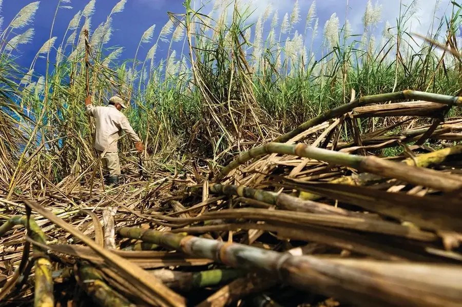
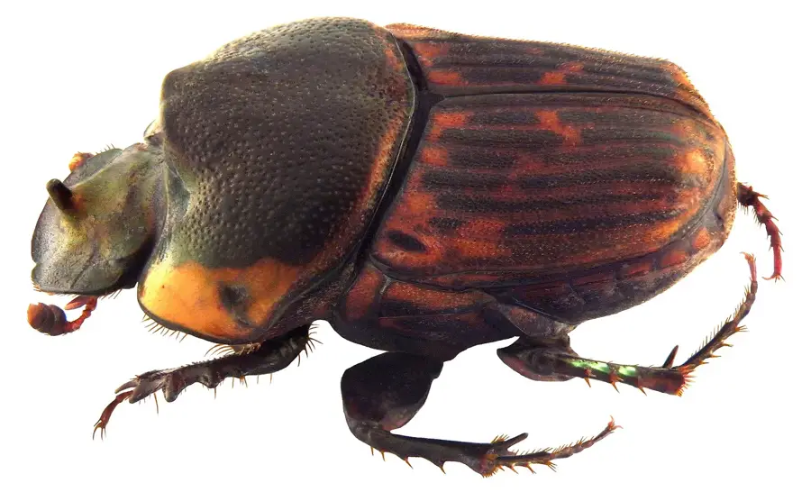
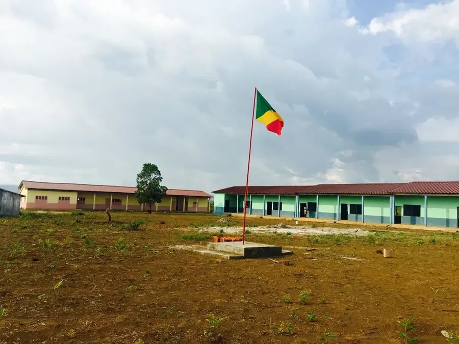
Mount Mvoula is a prominent peak in the Lékoumou region of southwestern Republic of the Congo, geographically forming part of the Chaillu Massif. Rising to an elevation of approximately 680 meters, it stands out from the surrounding highlands, defining the local topography with its steep slopes and rugged ridges. Geologically, the mountain is composed of ancient metamorphic rocks such as gneiss and schist, which are typical of the Precambrian basement complex of Central Africa. The slopes of Mount Mvoula are covered with dense montane rainforests that are of great significance to the regional timber industry while also providing vital sanctuaries for forest elephants and primates. The surrounding area is characterized by a humid tropical climate with high rainfall, fostering the development of numerous small streams that feed into the Niari Basin. Historically, the region was a settlement center for the Mbété people, who utilized the mountain for hunting and the collection of medicinal plants. Today, Mount Mvoula is at the center of a balancing act between industrial logging interests and efforts to protect the unique biodiversity of the Chaillu Massif.
- Location: Congo - Brazzaville
- Nearby: Mindouli (23 km)
Best time to visit & climate
The most pleasant time to visit is Jun–Aug.
| Jan | Feb | Mar | Apr | May | Jun | Jul | Aug | Sep | Oct | Nov | Dec | |
|---|---|---|---|---|---|---|---|---|---|---|---|---|
| Avg °C | 25 | 25 | 25 | 25 | 25 | 24 | 24 | 26 | 26 | 26 | 25 | 25 |
| Rain mm | 152 | 146 | 181 | 177 | 123 | 11 | 3 | 9 | 45 | 157 | 251 | 224 |
📋 Practical info
Geography
Facts
- The peak reaches an elevation of 680 meters (2,231 feet).
- It is part of the geologically stable Chaillu Massif.
- The forests host valuable timber species such as Okoumé and Limba.
- Annual rainfall in the area is approximately 1,500 millimeters.
- Local Mbété tribes traditionally use the mountain as a hunting ground.
- Numerous springs feed the tributaries of the Lékoumou River.
Explore nearby
Notable places around
Route planner — Car & Motorhome
Where do you start? We build the route here, with stops and country notes along the way.
© OpenStreetMap contributors · OpenRouteService
Sights nearby
Frequently asked questions
When should you start?
Is the path steep?
Are there wild animals?
Is there mobile reception?
How long does the climb take?
Mount Mvoula: where is it located?
Mount Mvoula: when is the best time to visit?
Mount Mvoula: why is it worth visiting?

Nearby cities

More places