Plizio Visual Lab
Pidjani

ℹ️Practical info — Pidjani
▾
🌤 Weather — 5 days
📍 Nearby
Sights nearby
💡 Tips
- Go to the shore early in the morning to watch the local fishermen bring in their catch.
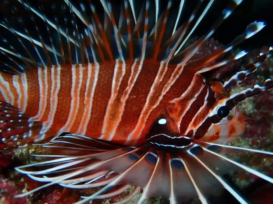
- The reef waters are great for snorkeling, but be mindful of strong currents and always ask locals where it's safe.
- Shared taxis are the best way to get to Moroni, but they operate mostly in the morning.
- As with the rest of the island, alcohol is not widely available and public consumption is frowned upon.
🍽 Food
Freshly caught and prepared by the beach.
Cassava leaves in coconut, a staple side dish often served with fish.
Ask for it at small coastal eateries.
🛍 Shopping · 🧘 Quiet spots
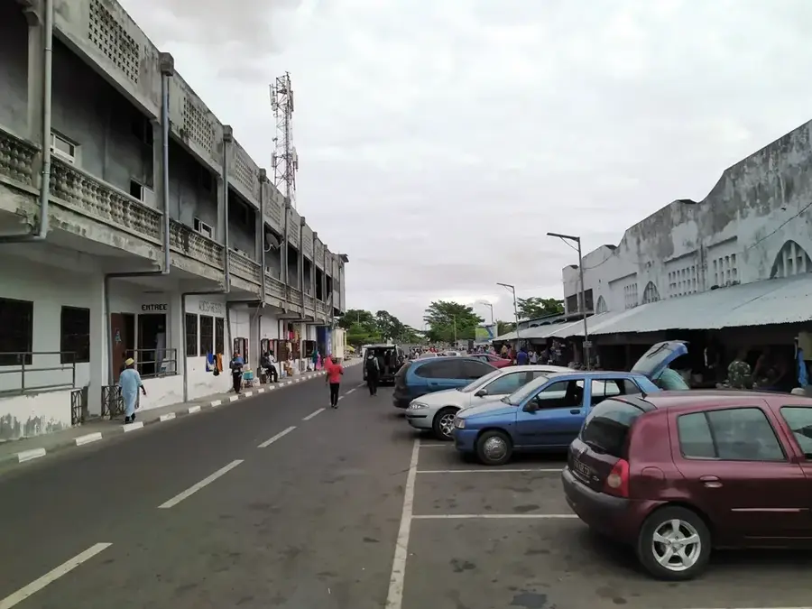
The center of trade in the morning; great for observing local life.
Sometimes sold by locals near the shore.
Walk along the rocky coastline away from the main fishing areas.
Sit and watch the waves break against the reef.
Water temperature…
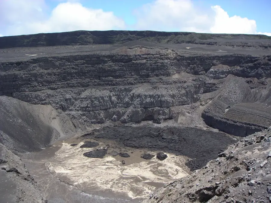
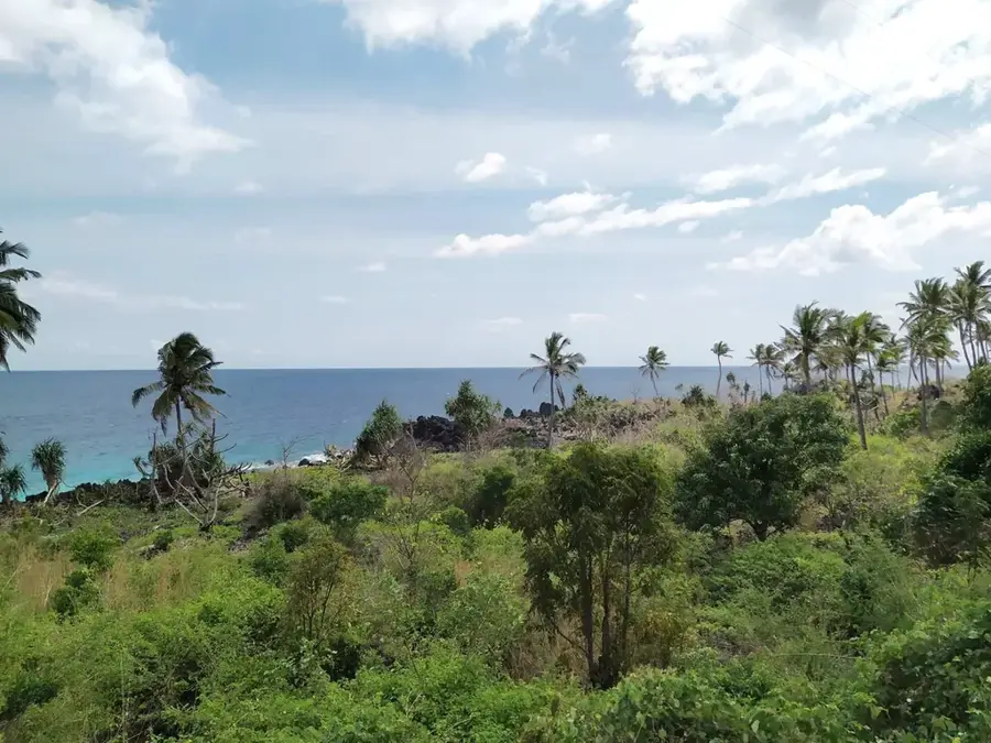
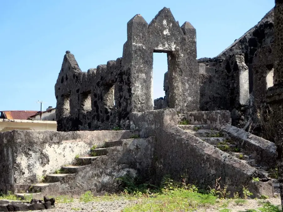
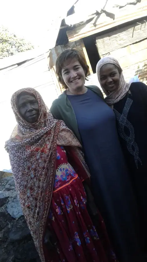
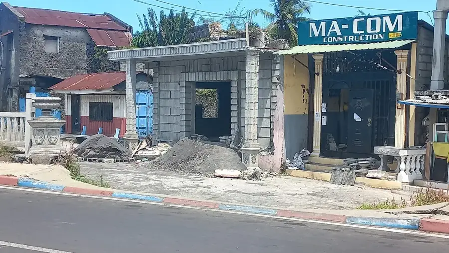
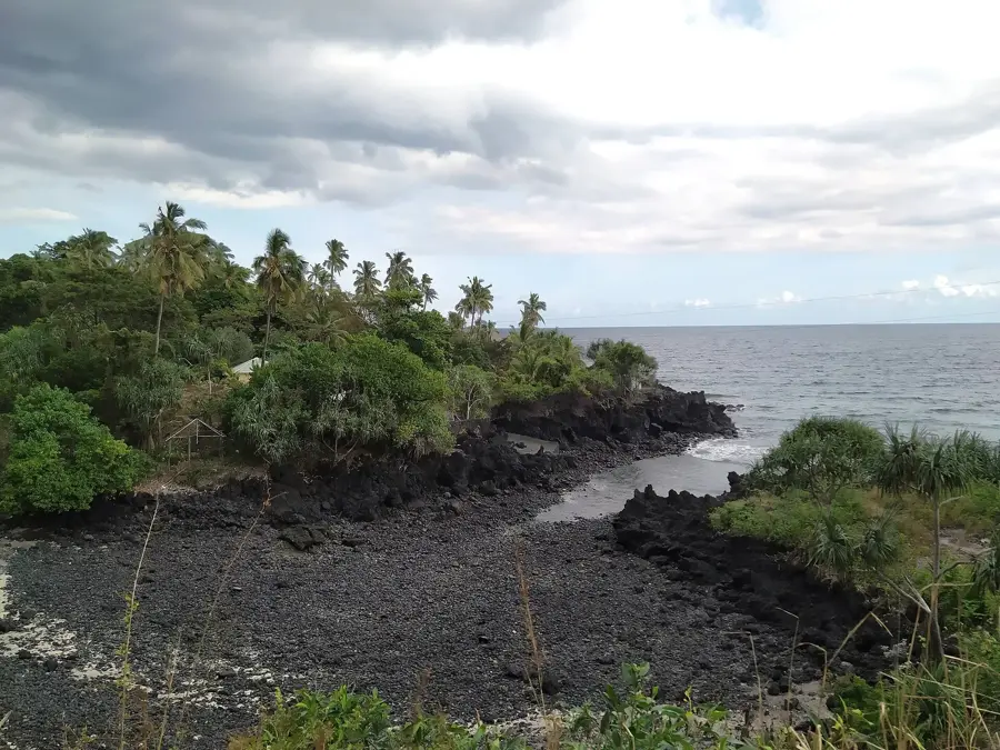
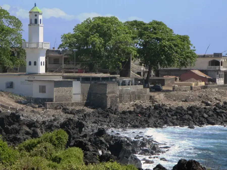
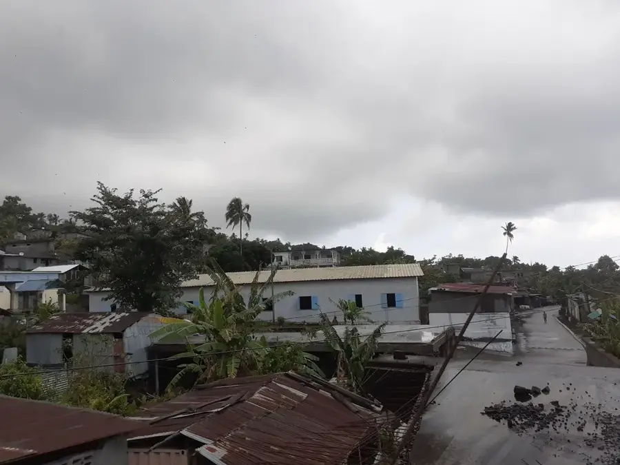
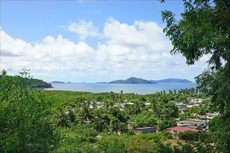
Pidjani is an important community in the Hambou region on the island of Grande Comore. The village is situated on the lower slopes of the Mount Karthala volcano and benefits from extremely fertile volcanic soils that allow for intensive agriculture. Residents of Pidjani are experts in cultivating ylang-ylang, a plant whose essence is a vital component of the international perfume industry. In addition to this cash crop, staple foods such as bananas, breadfruit, and various tubers are produced for local needs. Pidjani is also known for its religious scholarship and historical mosques, which form the center of social life. The village's architecture is a mix of traditional materials and more modern concrete buildings, reflecting economic changes. Due to its location, the village gives wide views over the coast and the ocean, while also serving as a gateway to the mountain trails of the Karthala massif. The community places great emphasis on education and has established several local schools over the recent decades.
- Location: Comoros
- Nearby: Foumbouni (5 km)
- Population: ~1.929 (2022)
Best time to visit & climate
The most pleasant time to visit is Jul–Sep.
| Jan | Feb | Mar | Apr | May | Jun | Jul | Aug | Sep | Oct | Nov | Dec | |
|---|---|---|---|---|---|---|---|---|---|---|---|---|
| Avg °C | 28 | 28 | 28 | 28 | 27 | 26 | 25 | 25 | 25 | 26 | 27 | 28 |
| Rain mm | 214 | 155 | 148 | 127 | 62 | 39 | 33 | 21 | 20 | 37 | 46 | 101 |
Geography
Facts
- Located in the Hambou region in southwestern Ngazidja.
- Center for the cultivation of ylang-ylang flowers.
- Situated at the foothills of the active Karthala volcano.
- Important site for religious education and mosques.
- Features a mix of traditional and modern architecture.
- Starting point for hikes into the mountain regions.
Explore nearby
Notable places around
Route planner — Car & Motorhome
Where do you start? We build the route here, with stops and country notes along the way.
© OpenStreetMap contributors · OpenRouteService
Frequently asked questions
What is special about Pidjani?
Are there tourist services in Pidjani?
What is the best time to visit Pidjani?
What culinary specialty is found here?
Is Pidjani safe for tourists?
Pidjani: where is it located?
Pidjani: when is the best time to visit?
Pidjani: why is it worth visiting?

Nearby cities

History & landmarks

Nature
More places