Plizio Visual Lab
Mount Karthala
Weather…
Water temperature…
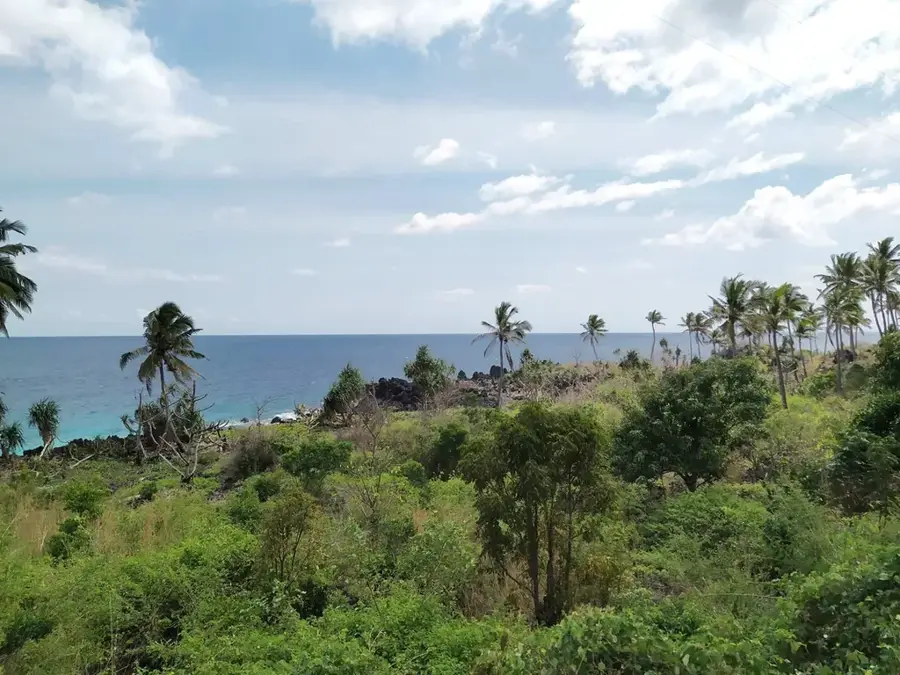
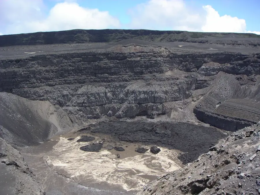
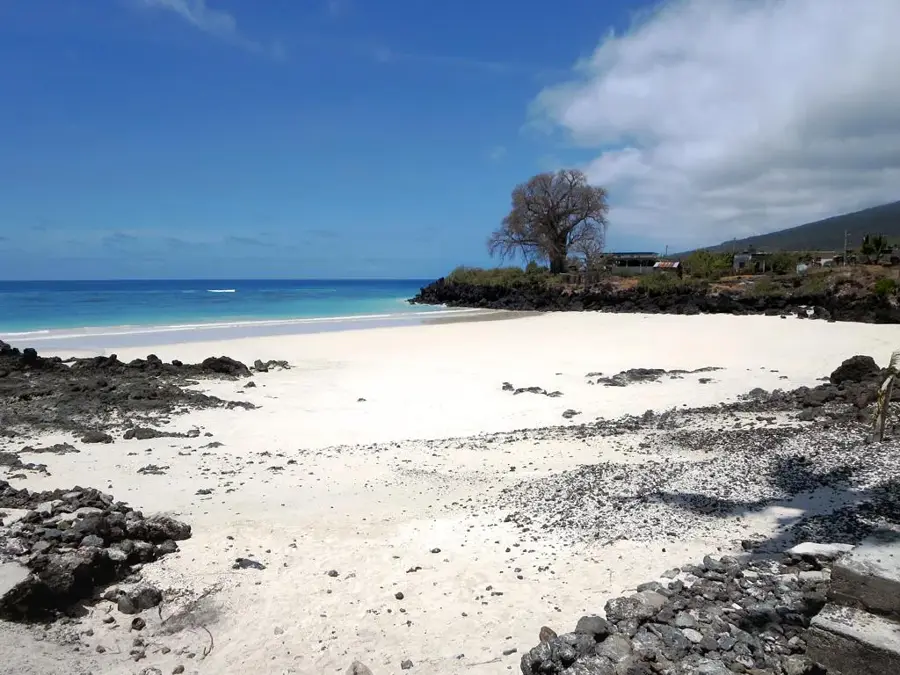
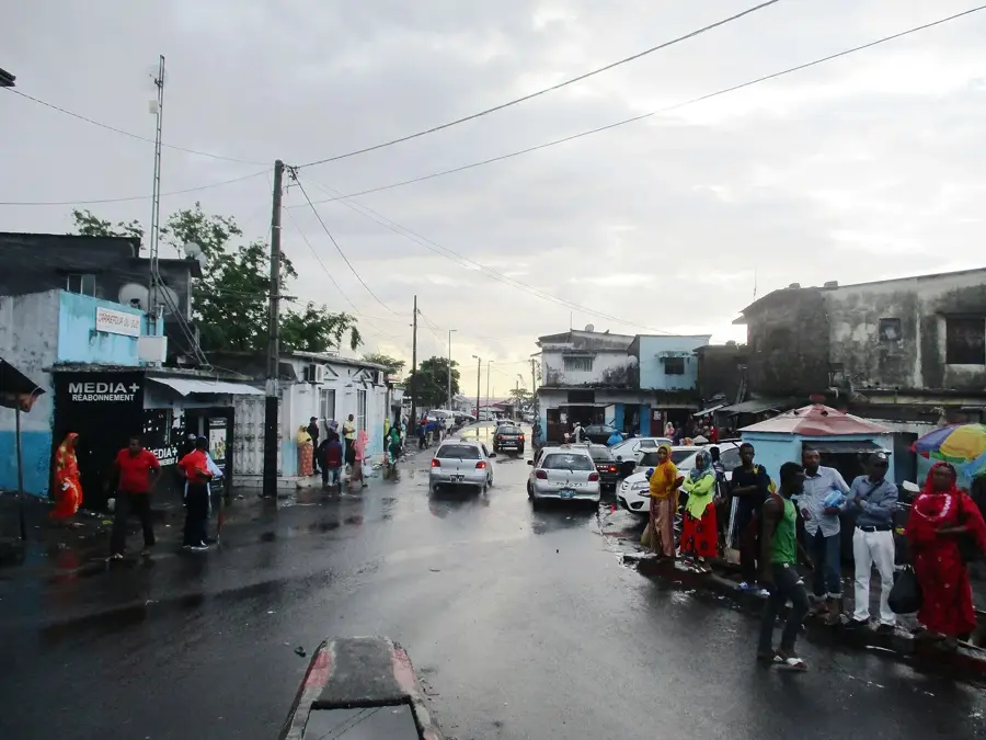
Mount Karthala is a massive active shield volcano on Grande Comore island and the highest point in the archipelago, standing at 2,361 meters. It features one of the largest active calderas in the world, measuring approximately three by four kilometers in diameter. The volcano's geological history is characterized by frequent eruptions, with the most recent significant events occurring in 2005 and 2006, which reshaped the crater landscape. Treks to the summit lead through diverse terrain, from dense cloud forests to barren ash fields at the crater's edge. Inside the caldera, several smaller craters and solidified lava lakes bear witness to the immense power of the Earth's interior. The volcano plays a central role in the island's ecosystem, as its slopes act as a water reservoir and provide unique microclimates for endemic flora and fauna. Continuous monitoring by the local volcano observatory is vital for the safety of Moroni, located at the mountain's base. Despite the persistent volcanic threat, Karthala remains a symbol of the dynamic nature of the Comoros.
- Location: Comoros
- Top sights: Foyer ACET · Karthala Northern Crater Viewpoint · Karthala Crater Viewpoint
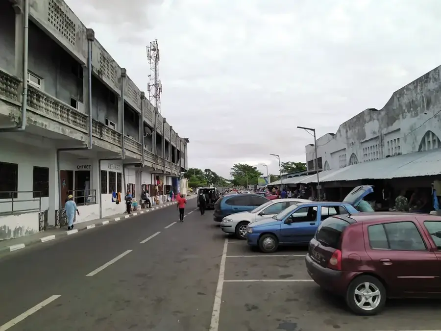
- Nearby: Hambou (4 km)
Best time to visit & climate
The most pleasant time to visit is Jul–Sep.
| Jan | Feb | Mar | Apr | May | Jun | Jul | Aug | Sep | Oct | Nov | Dec | |
|---|---|---|---|---|---|---|---|---|---|---|---|---|
| Avg °C | 28 | 28 | 28 | 28 | 27 | 26 | 25 | 25 | 25 | 26 | 27 | 28 |
| Rain mm | 214 | 155 | 148 | 127 | 62 | 39 | 33 | 21 | 20 | 37 | 46 | 101 |
📋 Practical info
Geography
Facts
- At 2,361 meters, Mount Karthala is the highest peak in the Comoros.
- The caldera measures approximately 3 by 4 kilometers in size.
- More than 20 eruptions have been recorded since the 19th century.
- The 2005 eruption created a new lava lake within the caldera.
- It is a shield volcano, structurally similar to those in Hawaii.
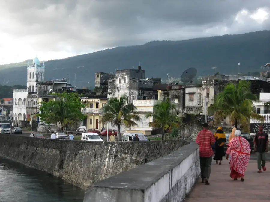
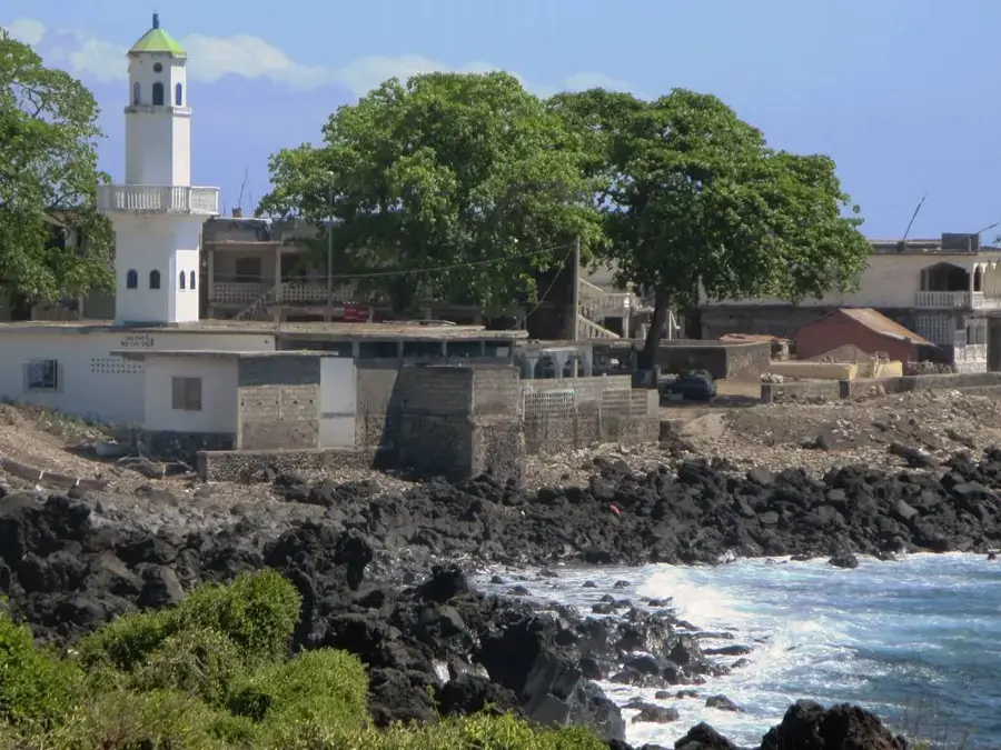
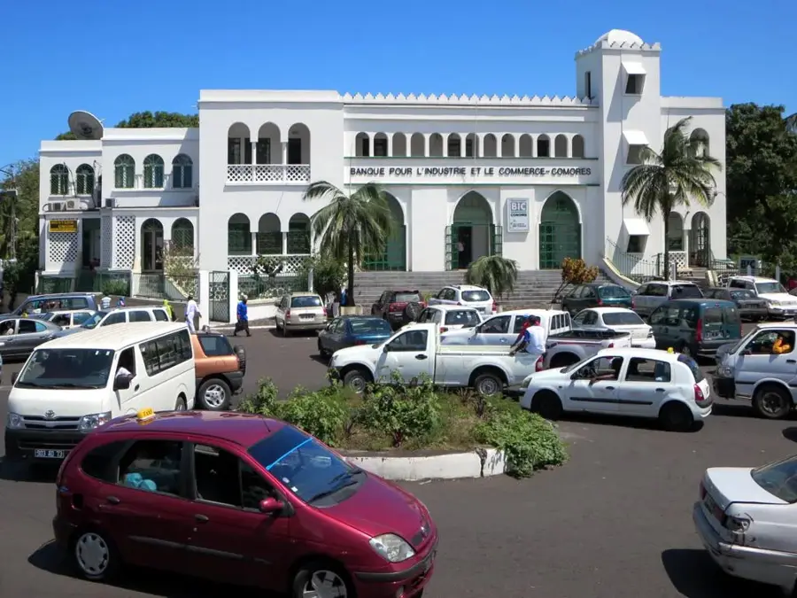
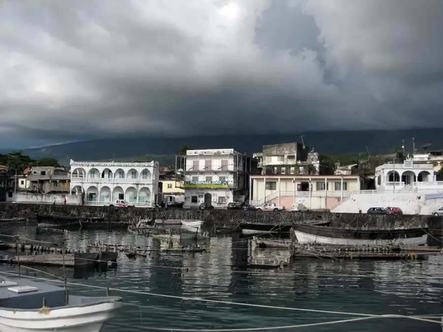
- Moroni, the capital of the Comoros, lies at the foot of the mountain.
Explore nearby
Notable places around
Route planner — Car & Motorhome
Where do you start? We build the route here, with stops and country notes along the way.
© OpenStreetMap contributors · OpenRouteService
Sights in the town Mount Karthala (3)
Sights nearby
Frequently asked questions
Is Mount Karthala still active?
How long does the hike to the crater take?
Is a guide mandatory?
Can you stay overnight on the mountain?
What is the weather like at the summit?
Mount Karthala: where is it located?
Mount Karthala: what is there to see?
Mount Karthala: when is the best time to visit?
Mount Karthala: why is it worth visiting?

Nearby cities


History & landmarks

Nature
More places