Plizio Visual Lab
River Padzani

Weather…
Water temperature…
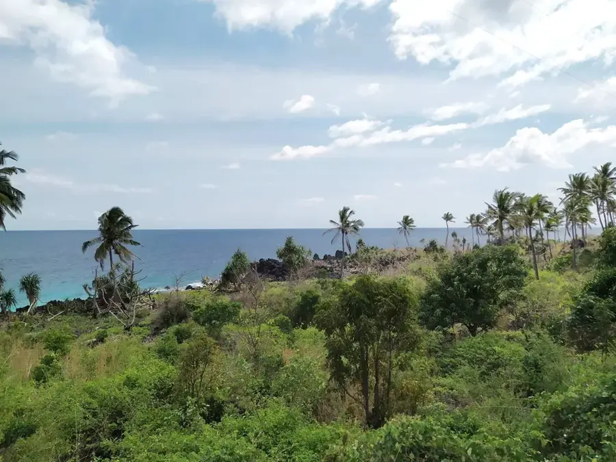
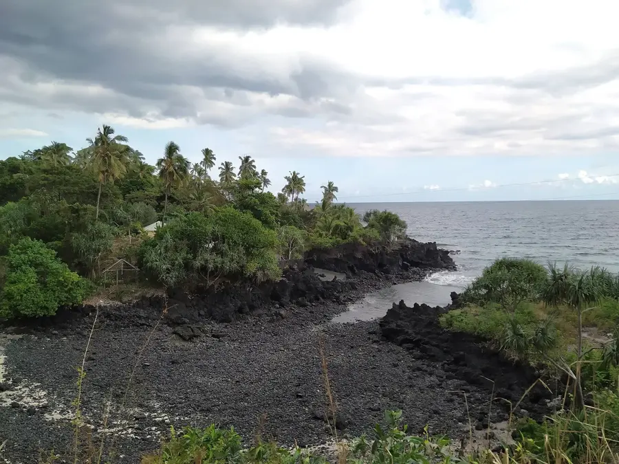
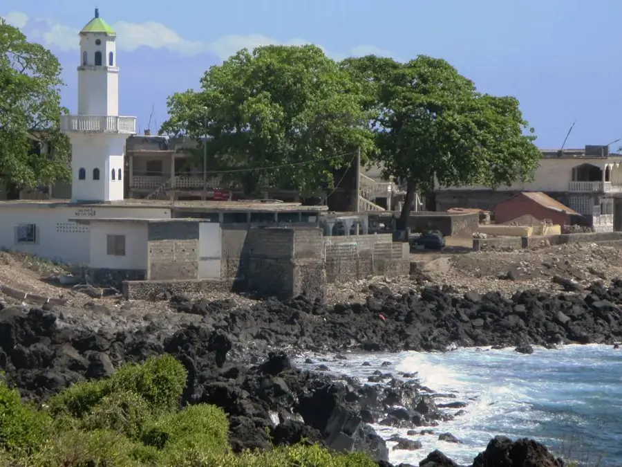
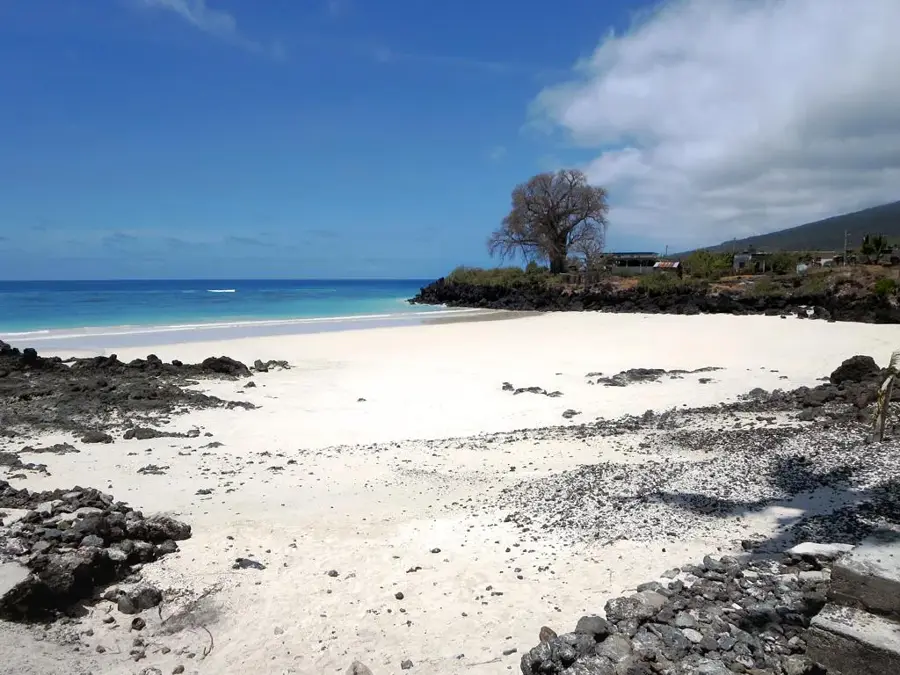
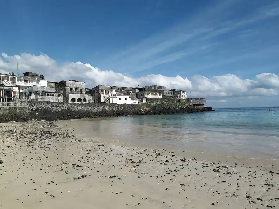
The Padzani River flows through the southeastern region of Anjouan, named after the prominent coastal village of Padzani. This river is a prime example of the high-gradient, short-distance watercourses that characterize the volcanic islands of the Comoros archipelago. It originates from the high-rainfall ridges of the southern highlands, cutting through layers of ancient basalt and tuff as it races toward the sea. The river's flow is remarkably consistent, sustained by the moisture-trapping effects of the dense tropical canopy at higher elevations. Along its banks, a lively ecosystem thrives, featuring a mix of wild tropical flora and cultivated spice gardens. For the people of Padzani, the river is a lifeline, serving as a primary source of water for domestic use and small-scale irrigation. Recent environmental studies have highlighted the importance of the Padzani River in transporting organic nutrients to the coastal mangroves and coral reefs, reinforcing its role in the broader marine ecology of the island.
- Location: Comoros
- Nearby: Vouvouni (6 km)
Best time to visit & climate
The most pleasant time to visit is Jul–Sep.
| Jan | Feb | Mar | Apr | May | Jun | Jul | Aug | Sep | Oct | Nov | Dec | |
|---|---|---|---|---|---|---|---|---|---|---|---|---|
| Avg °C | 28 | 28 | 28 | 28 | 27 | 26 | 25 | 25 | 25 | 26 | 27 | 28 |
| Rain mm | 194 | 147 | 144 | 137 | 69 | 41 | 35 | 25 | 23 | 40 | 45 | 101 |
📋 Practical info
Geography
Facts
- Padzani River is located in the southeastern tip of Anjouan Island.
- The river descends from ridges at an elevation of 600 meters.
- It is a primary source of freshwater for the village of Padzani.
- The river basin supports a significant population of coastal mangroves.
- Average flow rate increases tenfold during the rainy season.
- Volcanic boulders in the riverbed can reach several meters in diameter.
Explore nearby
Notable places around
Route planner — Car & Motorhome
Where do you start? We build the route here, with stops and country notes along the way.
© OpenStreetMap contributors · OpenRouteService
Sights in the town River Padzani (1)
Sights nearby
Frequently asked questions
Where is the River Padzani?
Why do rivers often dry up on Grande Comore?
Is a hike to the Padzani worth it?
Can you go birdwatching there?
Is there easy access?
River Padzani: where is it located?
River Padzani: when is the best time to visit?
River Padzani: why is it worth visiting?

Nearby cities


History & landmarks

More places