Plizio Visual Lab
Singani

ℹ️Practical info — Singani
▾
🌤 Weather — 5 days
📍 Nearby
Sights nearby
💡 Tips
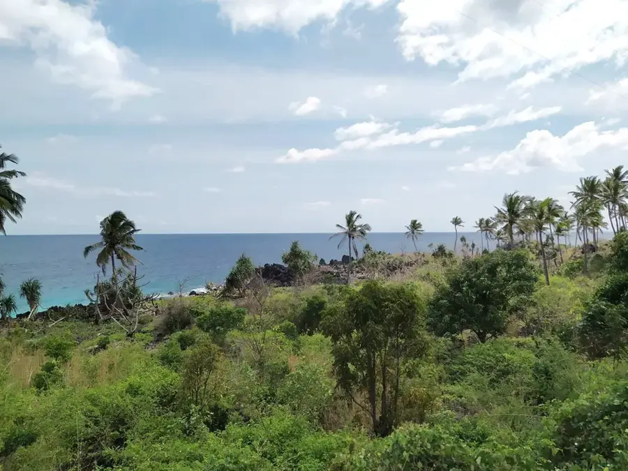
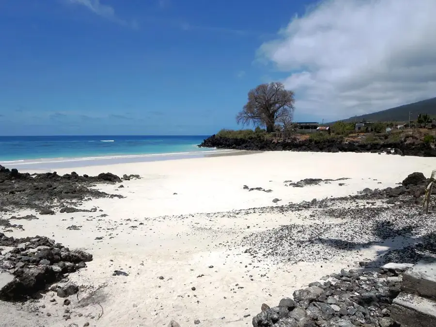
- Early mornings are best to see the traditional galawa (outrigger canoes) returning with fish.
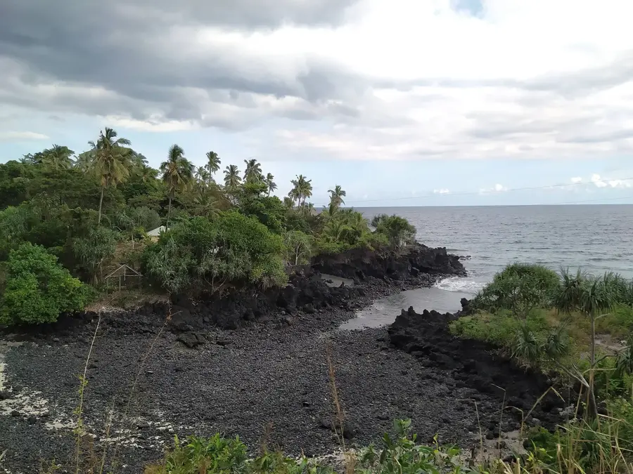
- The shoreline is mostly volcanic rock; ask locals for the safest spots if you want to swim.
- Shared taxis from Moroni run regularly, making it accessible on a budget.
- Pack sunscreen and water, as there is little shade along the immediate shoreline.
🍽 Food
Freshly caught and grilled on simple fire pits near the beach.
Fried manioc sold by local women as a quick afternoon snack.
Freshly cut coconuts available from vendors near the fishing area.
🛍 Shopping · 🧘 Quiet spots
The best place to buy incredibly fresh ocean fish directly from the boats.
Small boutiques sell basic supplies and locally packaged spices.
Sit on the dark volcanic rocks and watch the sun sink into the sea.
Walk south along the shoreline away from the boats for a more solitary experience.
Water temperature…
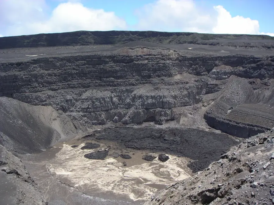
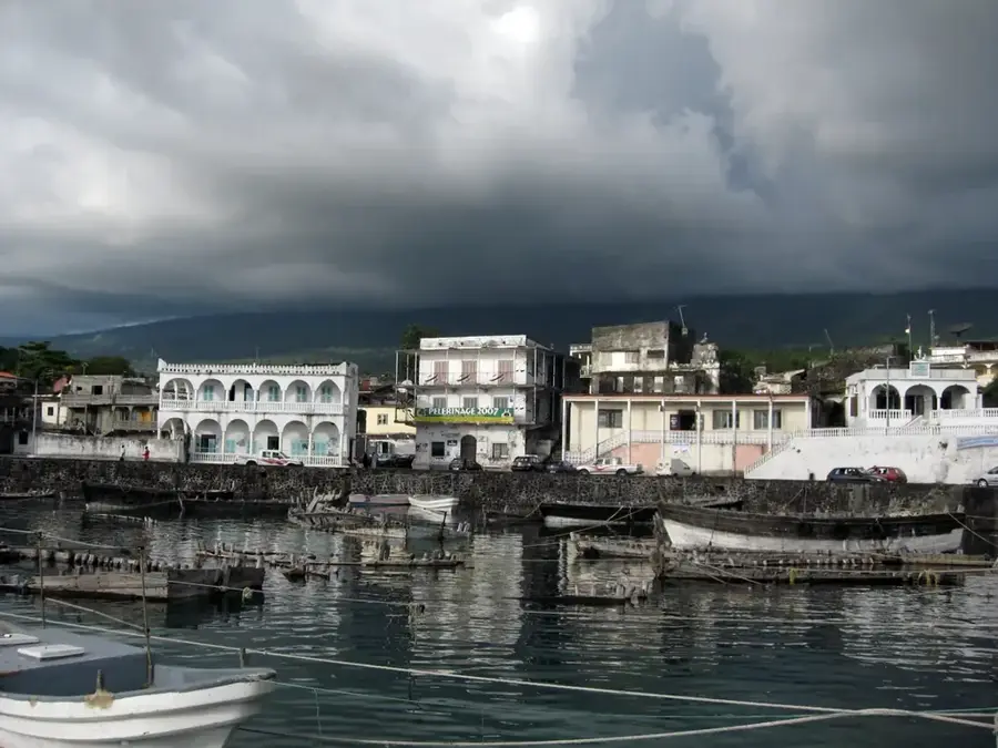
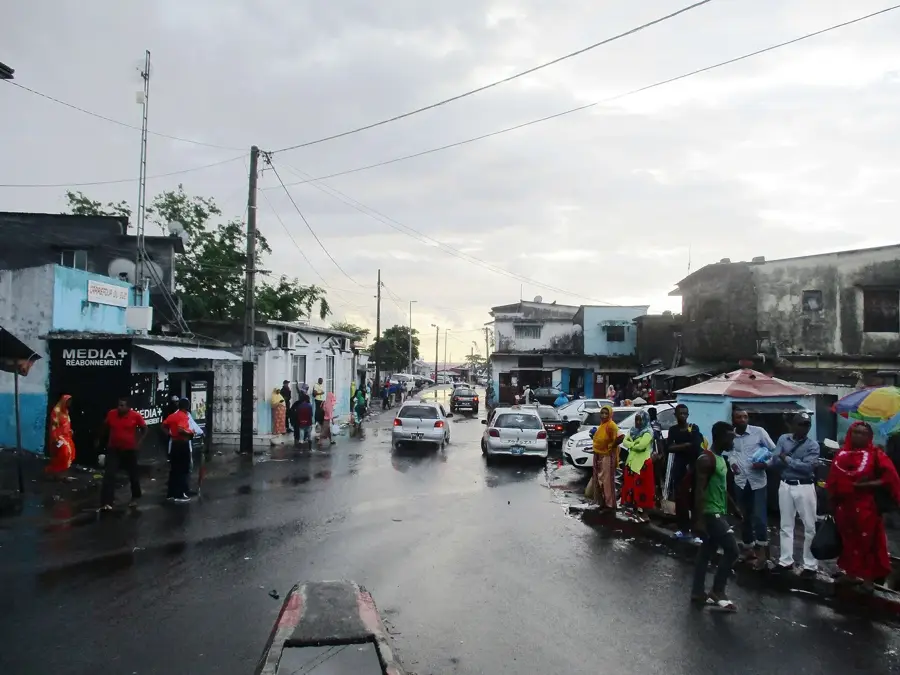
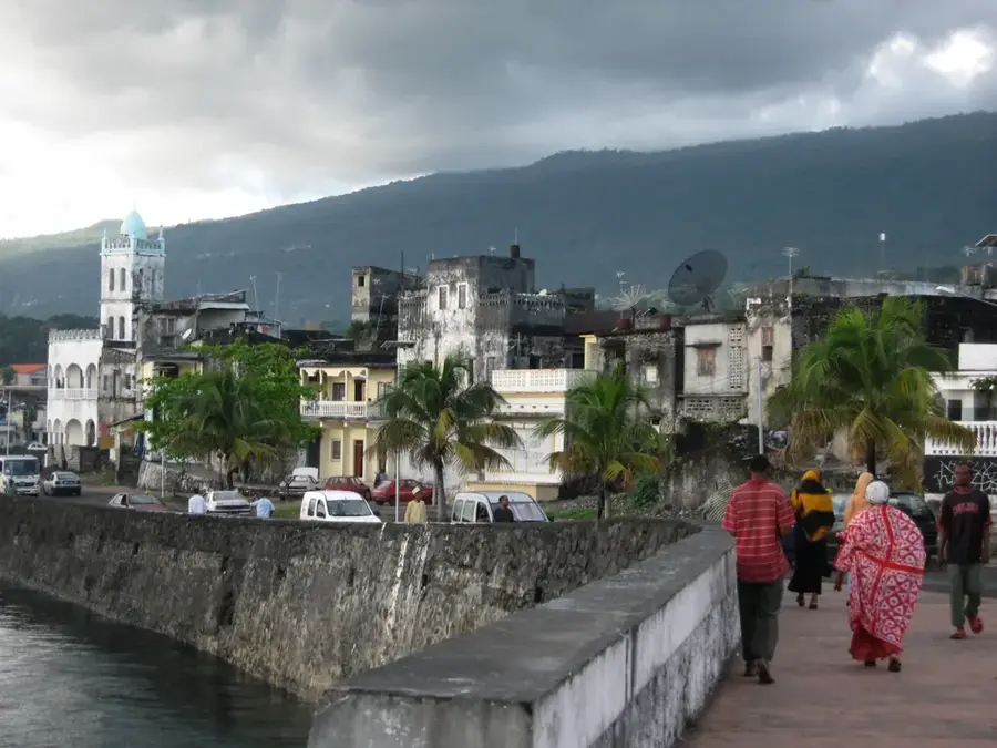
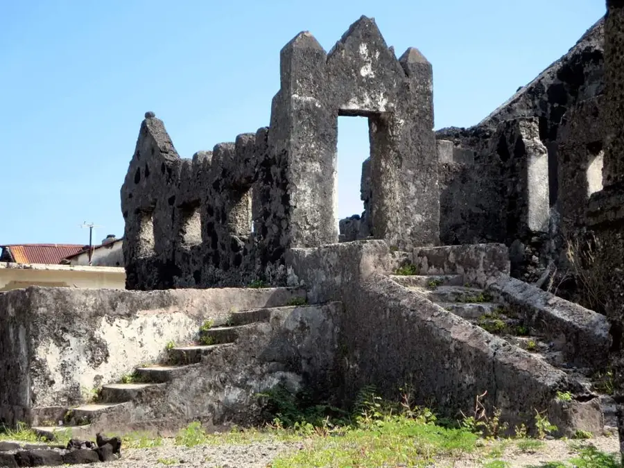
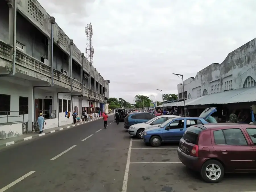
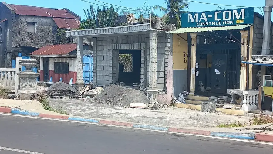
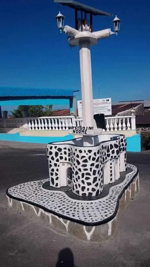
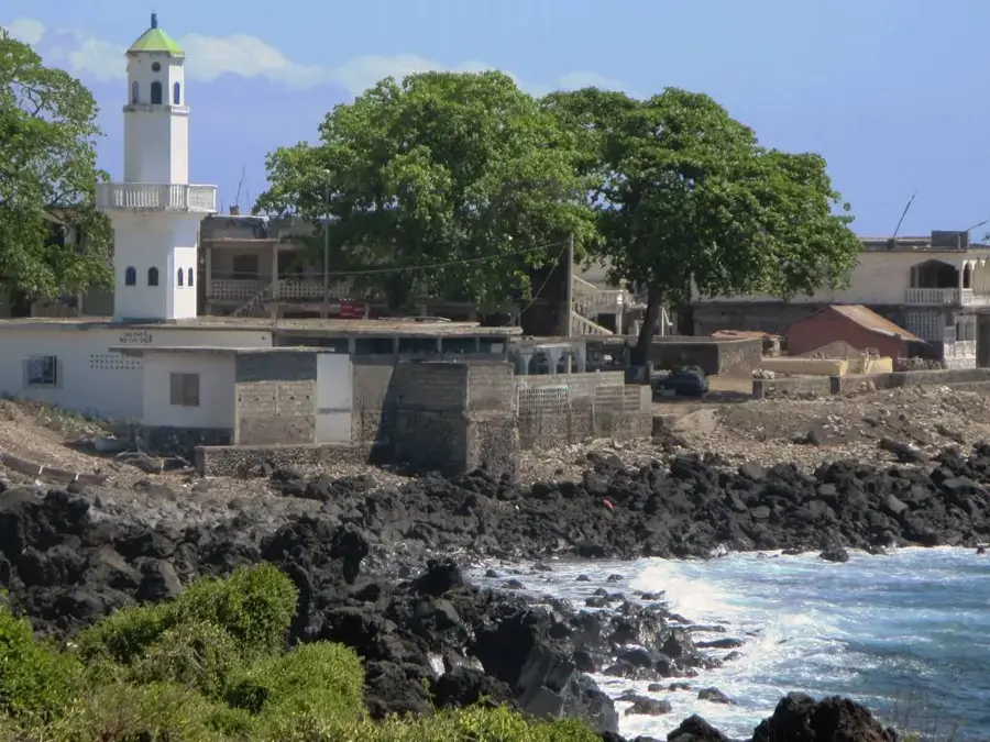
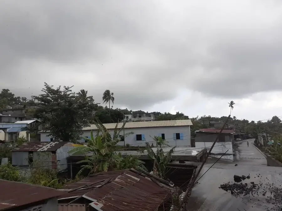
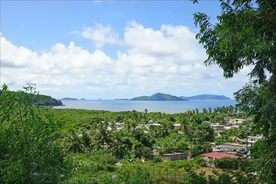
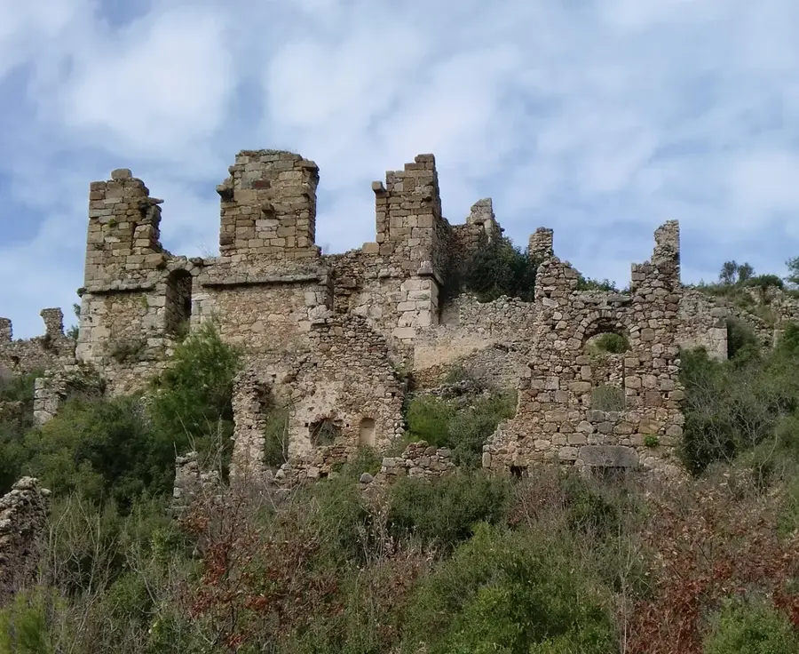
Singani is a historically significant settlement in the south of Grande Comore, best known for the tragic events of the 1977 volcanic eruption. At that time, a lava flow from Mount Karthala destroyed large parts of the village, leading to a complete evacuation and subsequent reconstruction. Today, Singani serves as a living example of the resilience of the Comorian people and their adaptation to the island's volcanic hazards. The village was systematically replanned and features a more modern structure than many other settlements in the region. Agriculture in the surrounding area benefits from the mineral-rich lava soils, where ylang-ylang and food crops particularly flourish. Singani is strategically located on the main road connecting the south of the island to the capital, Moroni. The community preserves the memory of the 1977 disaster through oral traditions and local memorial sites. Despite its turbulent past, Singani is now a peaceful place with strong social cohesion and a growing economy.
- Location: Comoros
- Top sights: Singani, Comoros · Hambou · Dzahadjou
- Nearby: Djoumoichongo (4 km)
- Population: ~2.309 (2018)
Best time to visit & climate
The most pleasant time to visit is Jul–Sep.
| Jan | Feb | Mar | Apr | May | Jun | Jul | Aug | Sep | Oct | Nov | Dec | |
|---|---|---|---|---|---|---|---|---|---|---|---|---|
| Avg °C | 28 | 28 | 28 | 28 | 27 | 26 | 25 | 25 | 25 | 26 | 27 | 28 |
| Rain mm | 214 | 155 | 148 | 127 | 62 | 39 | 33 | 21 | 20 | 37 | 46 | 101 |
Geography
Facts
- Largely destroyed by the 1977 Karthala eruption
- Completely replanned and rebuilt after the disaster
- Soils are extremely fertile due to recent lava deposits
- Located on the island's strategic north-south connection
- Known for cultivating ylang-ylang essences
- Memorial site for the volcanic history of the Comoros
Explore nearby
Notable places around
Route planner — Car & Motorhome
Where do you start? We build the route here, with stops and country notes along the way.
© OpenStreetMap contributors · OpenRouteService
Sights in the town Singani (3)
Frequently asked questions
Why is Singani historically significant?
Can you still see lava traces in Singani today?
Is Singani safe from new volcanic eruptions?
What is the atmosphere in Singani today?
Are there memorials in Singani?
Singani: where is it located?
Singani: what is there to see?
Singani: when is the best time to visit?
Singani: why is it worth visiting?

Nearby cities

History & landmarks

More places