Plizio Visual Lab
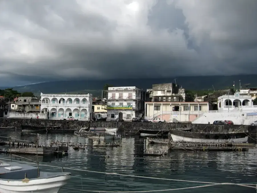
Djoumoichongo
ℹ️Practical info — Djoumoichongo
▾
🌤 Weather — 5 days
📍 Nearby
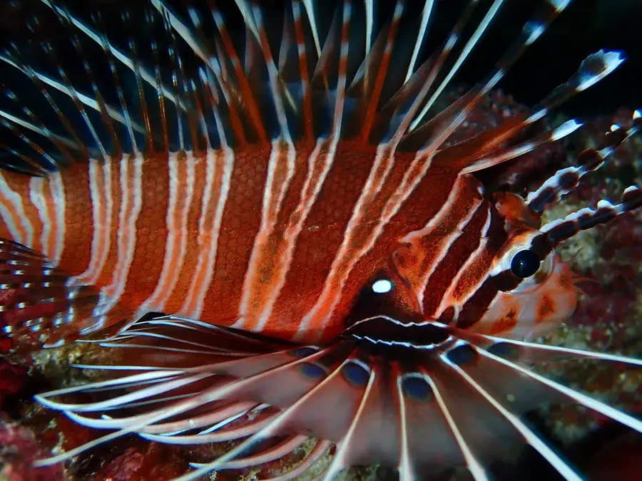
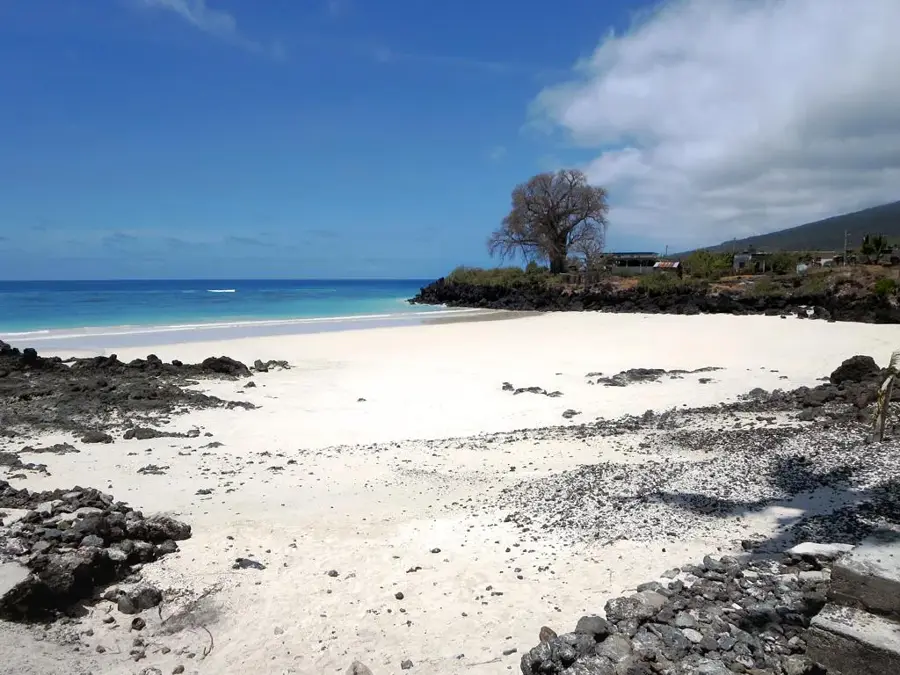
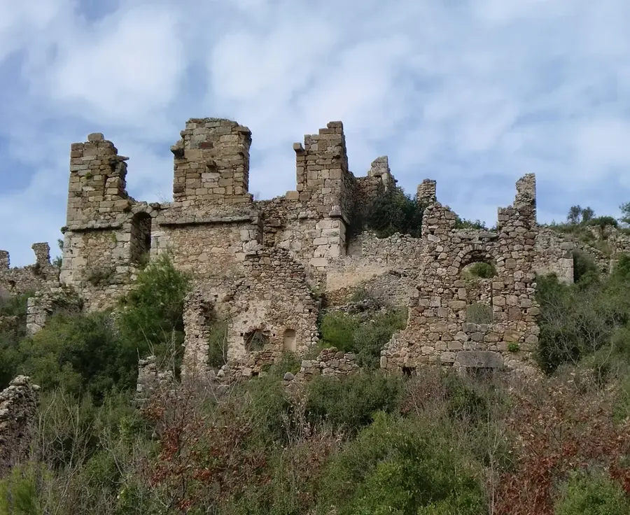
Sights nearby
💡 Tips
- Expect very basic infrastructure in this rural area.
- Bring plenty of cash as ATMs are scarce.
- Dress modestly to respect the traditional village culture.
- Hire a local guide for any hikes into the surrounding nature.
- Learn a few words of Shikomori for greetings.
🍽 Food
Heavily spiced rice with meat from local cooks.
Prepared in rich coconut milk, a tasty local staple.
Fresh, locally grown bananas and seasonal fruits.
🛍 Shopping · 🧘 Quiet spots
Cloves and vanilla can often be bought directly from the farmers.
Hand-woven baskets available in the small village market.
The farming paths surrounding the village for a quiet walk.
The small, shaded village gathering spots under large trees.
Water temperature…
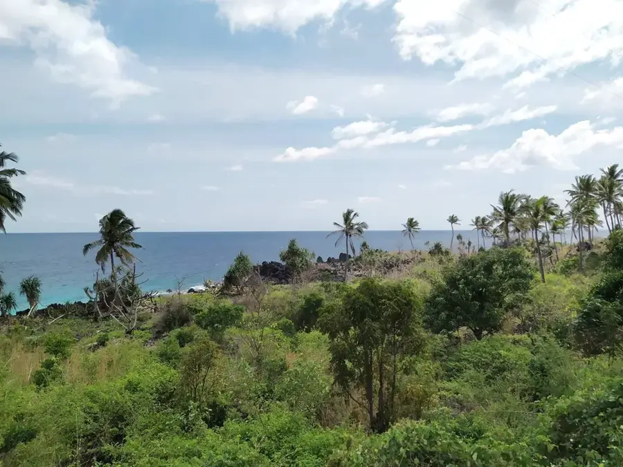
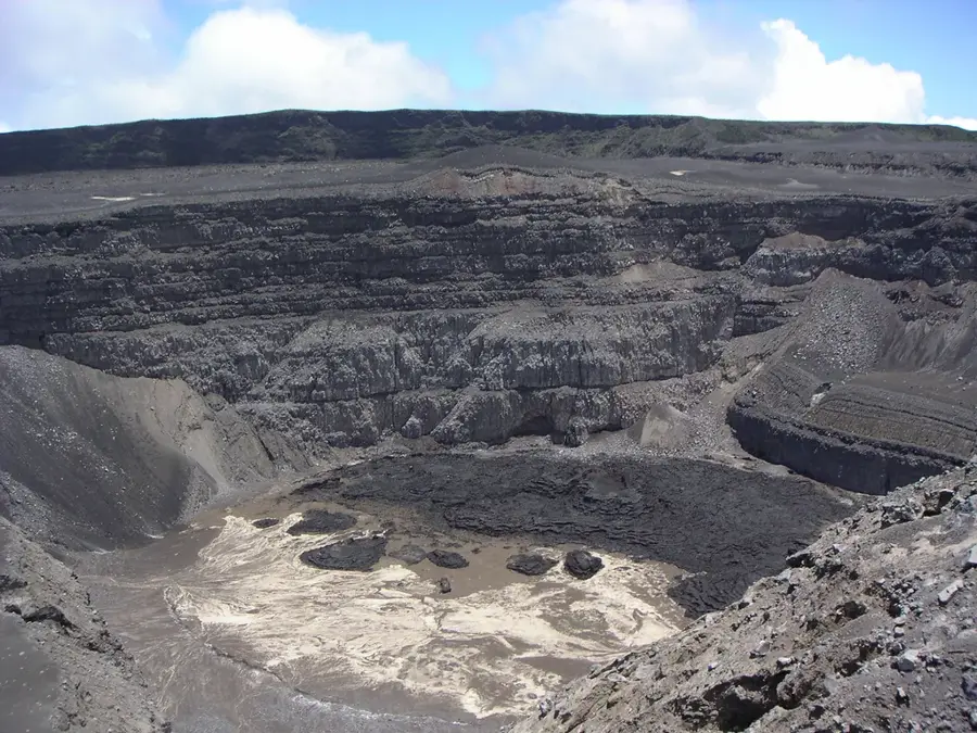
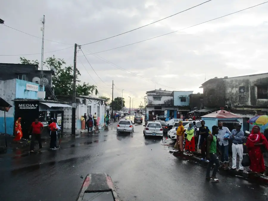
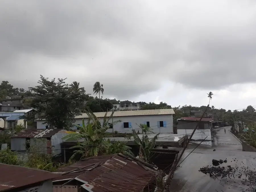
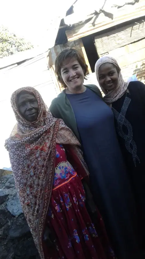
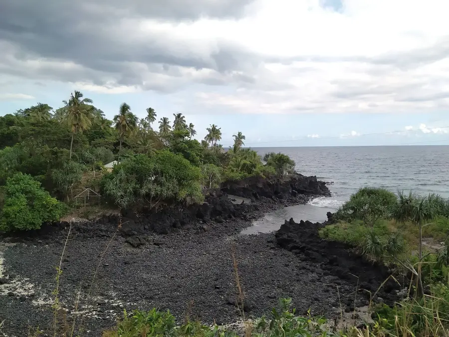
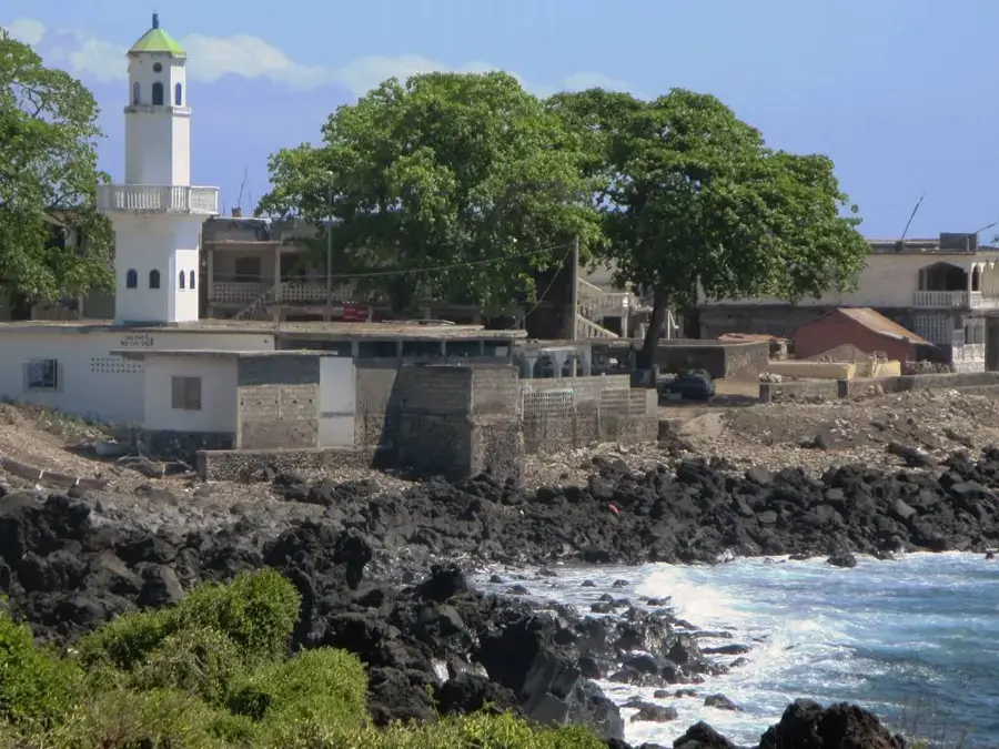
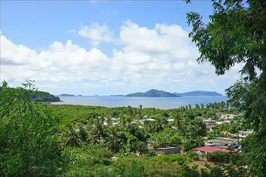
Djoumoichongo is an agriculturally oriented community in the southwest of Grande Comore (Ngazidja) Island, set in the fertile foothills of the Karthala massif. The village is known far beyond its borders for its productive vanilla plantations and the cultivation of ylang-ylang, making it an important link in the Comorian export chain. Geographically, Djoumoichongo benefits from abundant rainfall and mineral-rich volcanic soils that support dense vegetation and a variety of crops. Historically, the village was a significant base for the island's agrarian development and has adapted many technological innovations in the field of spice processing. The architecture of the place is functional, with many houses featuring special drying facilities for vanilla beans. Social life is closely linked to the agricultural cycle, and community work (Twadaha) is highly valued during harvest and the construction of public facilities. In Djoumoichongo, the cultural richness of the Comoros is kept alive through traditional music and the preservation of local legends.
- Location: Comoros
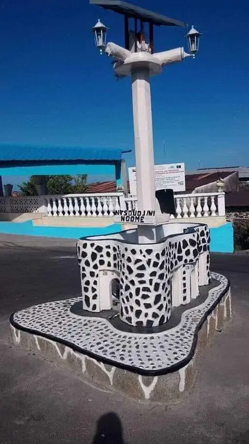
- Top sights: Djoumoichongo-Nyoumbadjou · Madjéouéni · Chouani
- Nearby: Singani (4 km)
- Population: ~3.129 (2023)
Best time to visit & climate
The most pleasant time to visit is Jul–Sep.
| Jan | Feb | Mar | Apr | May | Jun | Jul | Aug | Sep | Oct | Nov | Dec | |
|---|---|---|---|---|---|---|---|---|---|---|---|---|
| Avg °C | 28 | 28 | 28 | 28 | 27 | 26 | 25 | 25 | 25 | 26 | 27 | 28 |
| Rain mm | 214 | 155 | 148 | 127 | 62 | 39 | 33 | 21 | 20 | 37 | 46 | 101 |
Geography
Facts
- Djoumoichongo is located in the Badjini region in the southwest of Ngazidja.
- The village is considered one of the most important centers of vanilla production in the Comoros.
- Annual rainfall favors the growth of tropical rainforests.
- There are several cooperatives for the fair trade of spices.
- The settlement is situated at an altitude of approximately 300 to 500 meters above sea level.
- Djoumoichongo is a major supplier of ylang-ylang flowers for distillation.
Explore nearby
Notable places around
Route planner — Car & Motorhome
Where do you start? We build the route here, with stops and country notes along the way.
© OpenStreetMap contributors · OpenRouteService
Sights in the town Djoumoichongo (3)
Frequently asked questions
What is special about Djoumoichongo?
Are there hiking trails in Djoumoichongo?
Can you go shopping in Djoumoichongo?
How is the climate in the mountains near Djoumoichongo?
Are there internet cafes?
Djoumoichongo: where is it located?
Djoumoichongo: what is there to see?
Djoumoichongo: when is the best time to visit?
Djoumoichongo: why is it worth visiting?

Nearby cities
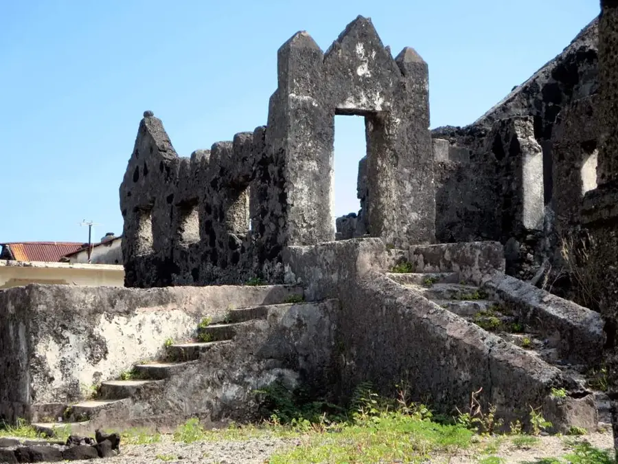
History & landmarks

More places