Plizio Visual Lab
Cordillera Central (Colombia)
Weather…
Water temperature…
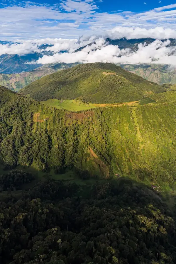
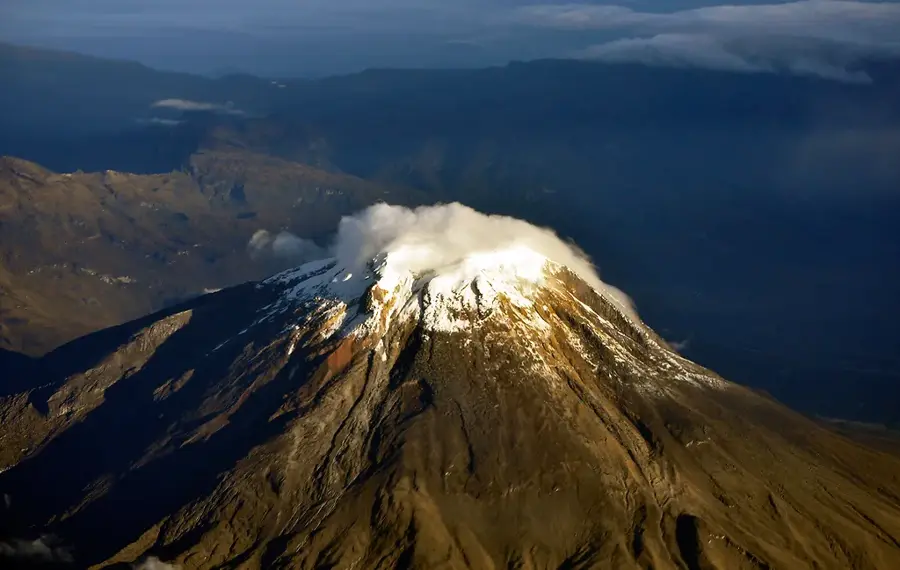
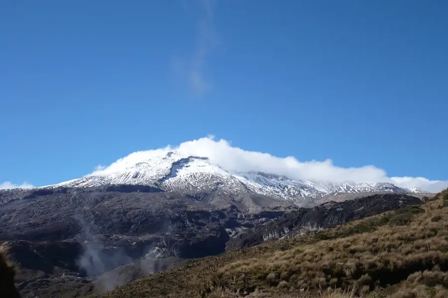
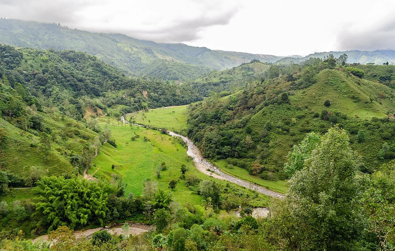
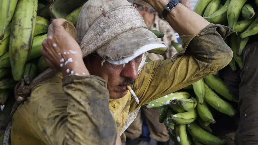
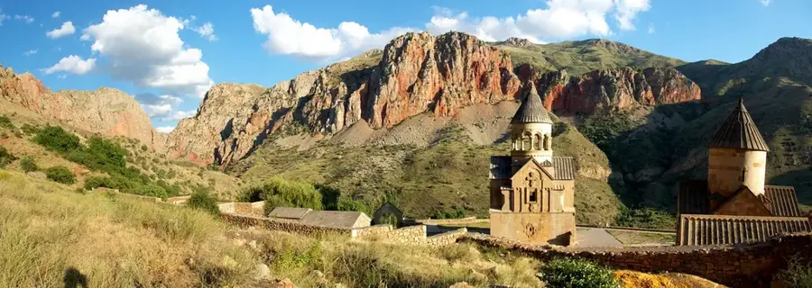
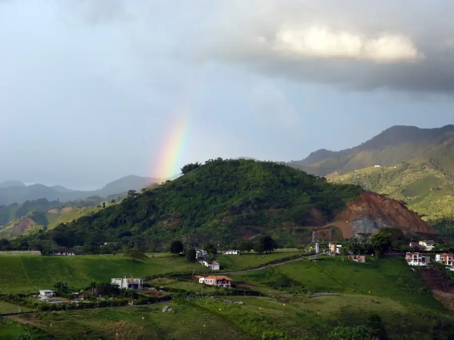
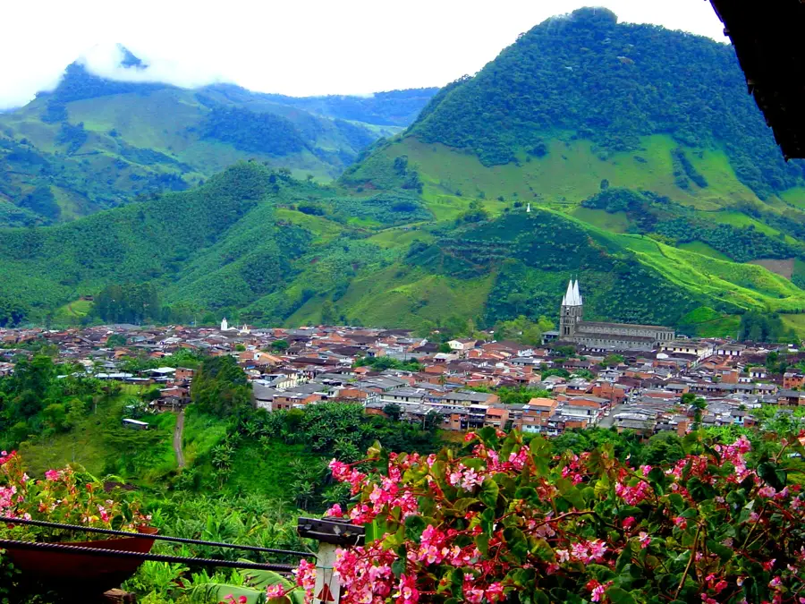
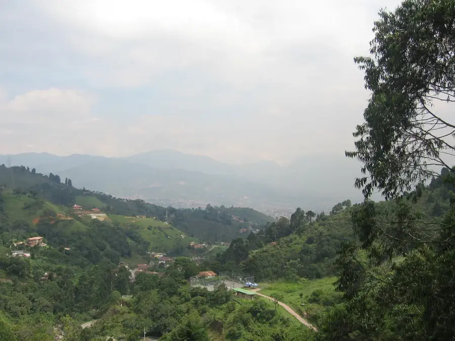
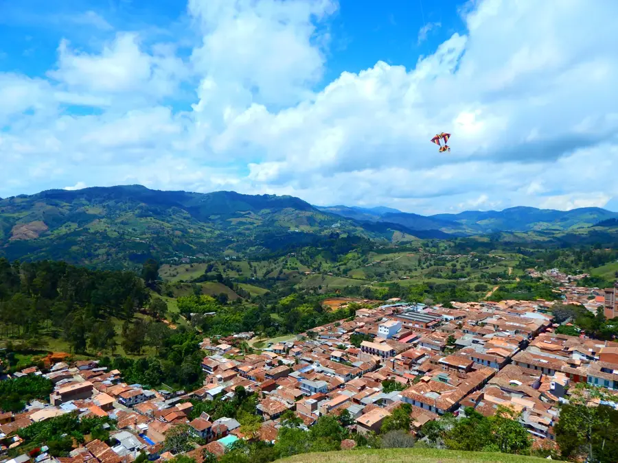
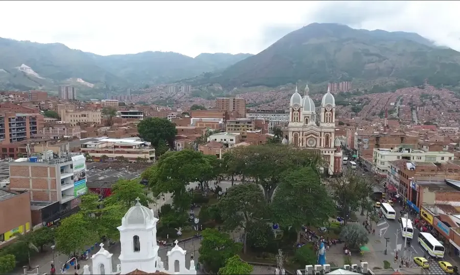
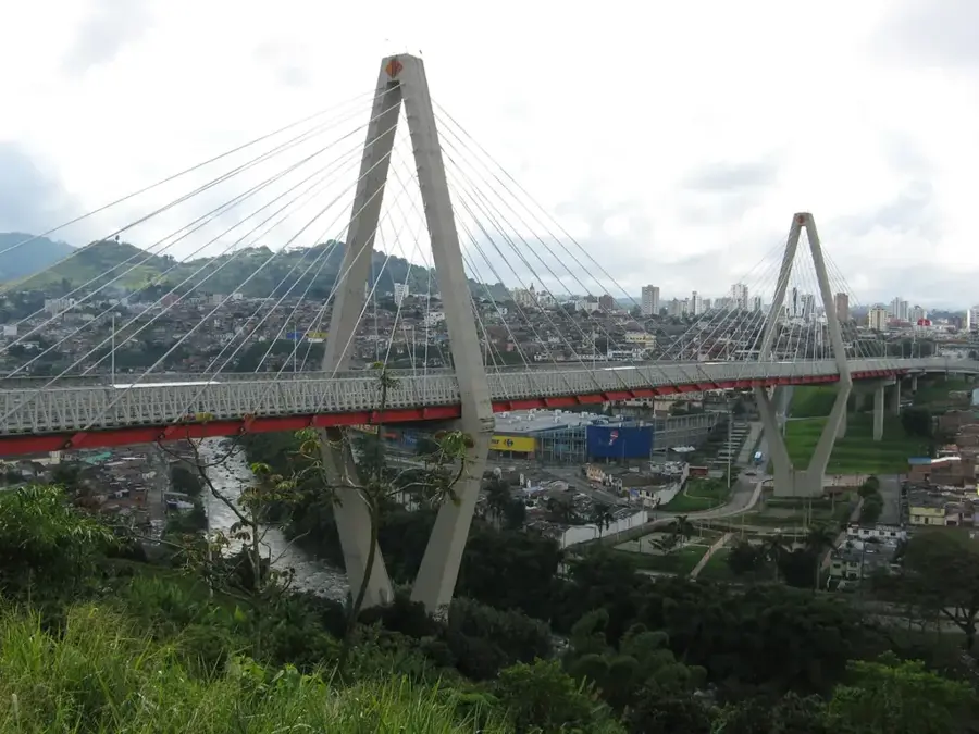
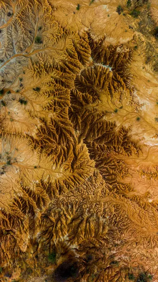
The Cordillera Central is the highest and most volcanically active of the three mountain ranges of the Colombian Andes. It hosts some of the country's most prominent peaks, including Nevado del Huila, which at 5,364 meters marks the highest point of the range, and Nevado del Ruiz. This region is of central economic importance as it is home to the Coffee Cultural Landscape, a UNESCO World Heritage site famous for its high-quality coffee beans. The geography is characterized by deep valleys and fertile plateaus formed by the ash emissions of numerous volcanoes over millennia. The Cordillera Central is also a crucial watershed where the Magdalena and Cauca rivers have their headwaters. The Los Nevados National Park protects the remaining glaciers and the delicate paramo landscapes, which are threatened by climate change. Historically, the region was the site of significant indigenous cultures and is today one of the most densely populated areas of Colombia. The combination of fertile soils, abundant rainfall, and temperate temperatures makes it the agricultural heart of the nation.
- Location: Colombia
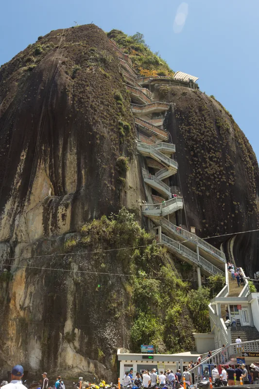
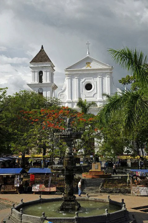
- Top sights: Camino del Indio · Palmas de Ceja
- Nearby: Termales de Santa Rosa de Cabal (17 km)
Best time to visit & climate
The most pleasant time to visit is Jan, Feb, Aug.
| Jan | Feb | Mar | Apr | May | Jun | Jul | Aug | Sep | Oct | Nov | Dec | |
|---|---|---|---|---|---|---|---|---|---|---|---|---|
| Avg °C | 15 | 16 | 16 | 16 | 15 | 15 | 15 | 15 | 15 | 15 | 15 | 15 |
| Rain mm | 87 | 104 | 145 | 193 | 168 | 113 | 90 | 92 | 110 | 194 | 191 | 146 |
📋 Practical info
Geography
Facts
- Highest Andean range in Colombia
- Nevado del Huila (5,364 m) is the highest point
- Home to the UNESCO Coffee Cultural Landscape
- Los Nevados National Park protects glaciers
- Highly volcanically active region
- Source of the Magdalena and Cauca rivers
Explore nearby
Notable places around
Route planner — Car & Motorhome
Where do you start? We build the route here, with stops and country notes along the way.
© OpenStreetMap contributors · OpenRouteService
Sights in the town Cordillera Central (Colombia) (2)
Sights nearby
Frequently asked questions
What is the highest peak in the Central Cordillera?
Which major cities are located in this region?
Is the region famous for coffee?
What is the climate in the high altitudes?
Can you go hiking here?
Cordillera Central (Colombia): where is it located?
Cordillera Central (Colombia): what is there to see?
Cordillera Central (Colombia): when is the best time to visit?
Cordillera Central (Colombia): why is it worth visiting?

Nearby cities

History & landmarks
More places