Plizio Visual Lab
Machín Volcano
Weather…
Water temperature…
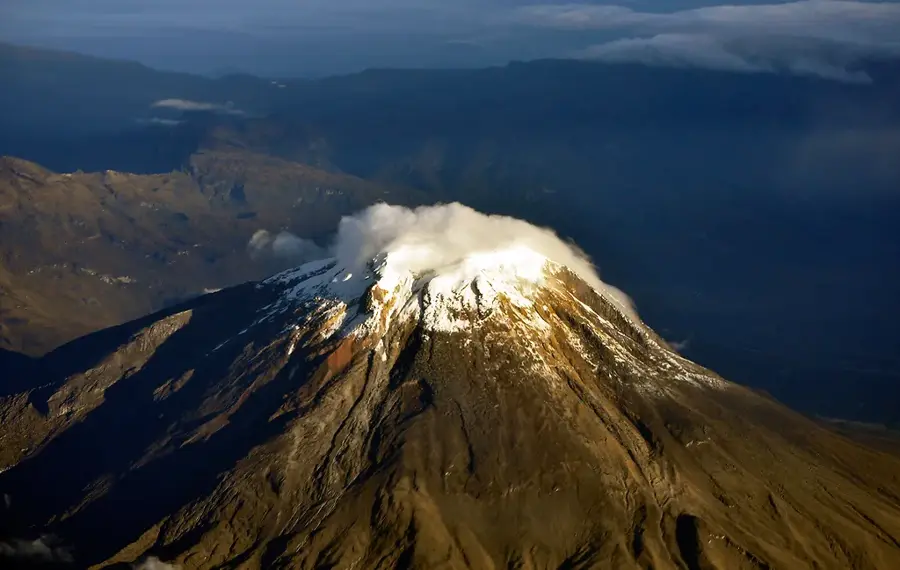
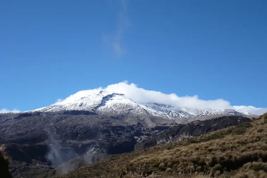
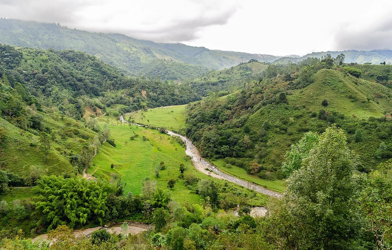
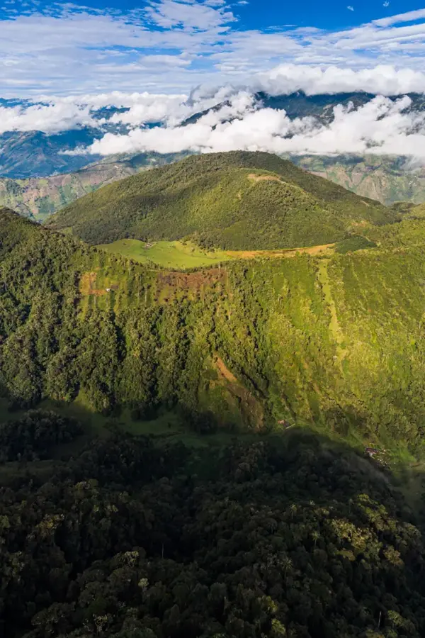
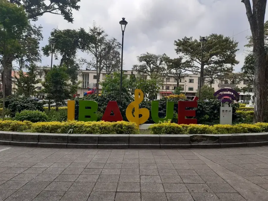
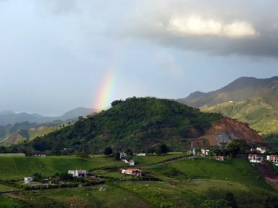
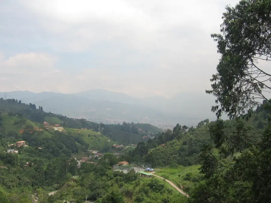
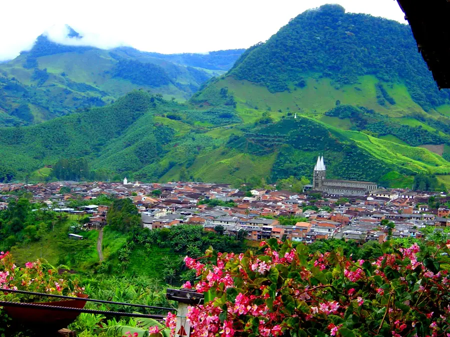
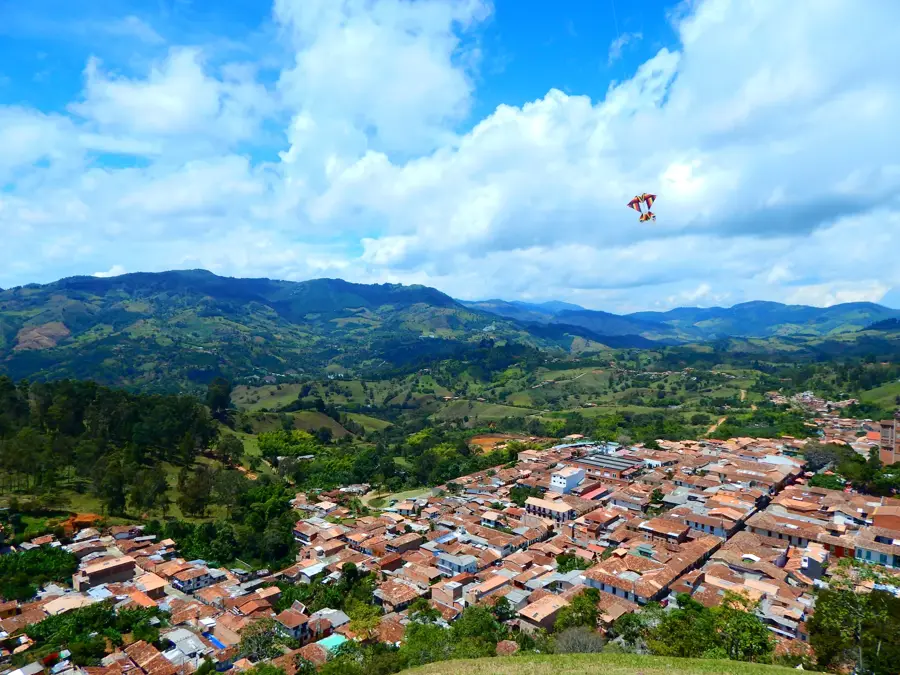
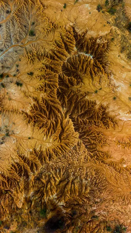
Machín Volcano, also known as Cerro Machín, is a small but extremely dangerous volcano in the Tolima department, located about 7 kilometers northwest of the city of Ibagué. Standing at only 2,750 meters, it may seem unassuming, but it is considered one of Colombia's most hazardous volcanoes due to its explosive history and proximity to major population centers. It features a 2.4-kilometer diameter caldera containing several lava domes. Geological studies have shown that Machín has produced massive Plinian eruptions in the past, covering vast areas with ash and pyroclastic flows. Because the volcano is situated directly next to the Pan-American Highway and in a vital agricultural region, an eruption would have catastrophic economic consequences. The Colombian Geological Service places it under the highest level of monitoring. Despite the threat, the surrounding area is densely populated and intensively farmed due to its fertile volcanic soils.
- Location: Colombia
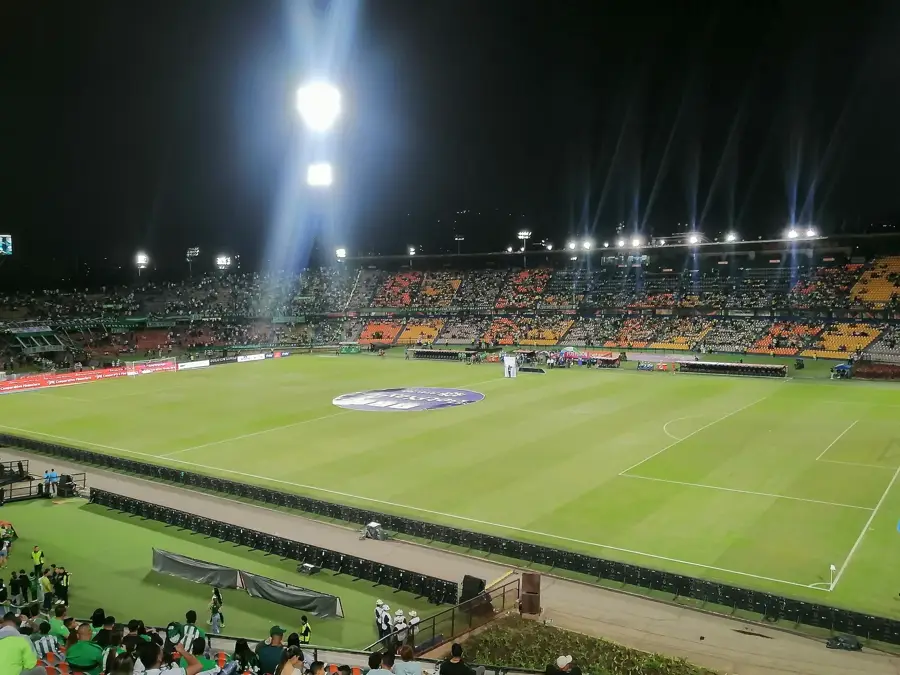
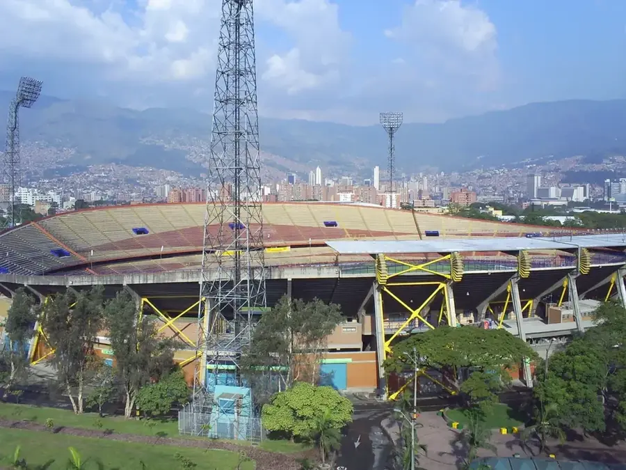
- Top sights: Mirador de las Fumarolas la secreta · Termales Machín · Los muñecos
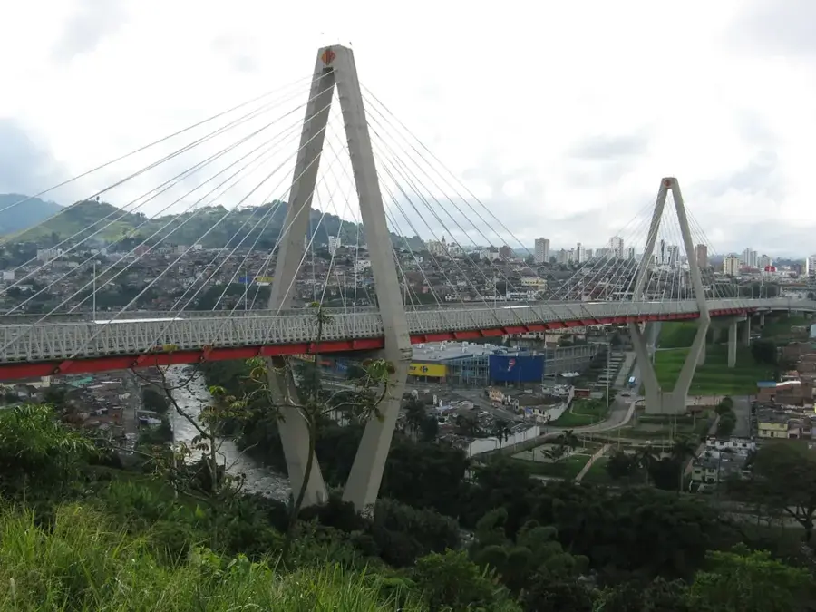
- Nearby: Termales de Santa Rosa de Cabal (28 km)
Best time to visit & climate
The most pleasant time to visit is Jan, Feb, Aug.
| Jan | Feb | Mar | Apr | May | Jun | Jul | Aug | Sep | Oct | Nov | Dec | |
|---|---|---|---|---|---|---|---|---|---|---|---|---|
| Avg °C | 15 | 16 | 16 | 16 | 15 | 15 | 15 | 15 | 15 | 15 | 15 | 15 |
| Rain mm | 87 | 104 | 145 | 193 | 168 | 113 | 90 | 92 | 110 | 194 | 191 | 146 |
📋 Practical info
Geography
Facts
- The summit elevation of Machín is 2,750 meters above sea level.
- The caldera has a diameter of approximately 2.4 kilometers.
- The last major eruption occurred about 800 years ago.
- Fumaroles and hot springs indicate an active magma chamber.
- Over one million people live within the potential hazard zone.
- Pyroclastic deposits from past eruptions are up to 40 meters thick.
Explore nearby
Notable places around
Route planner — Car & Motorhome
Where do you start? We build the route here, with stops and country notes along the way.
© OpenStreetMap contributors · OpenRouteService
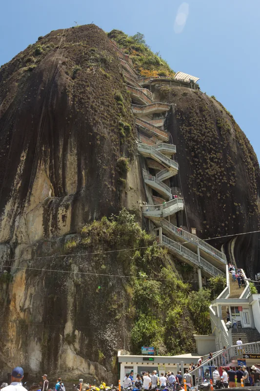
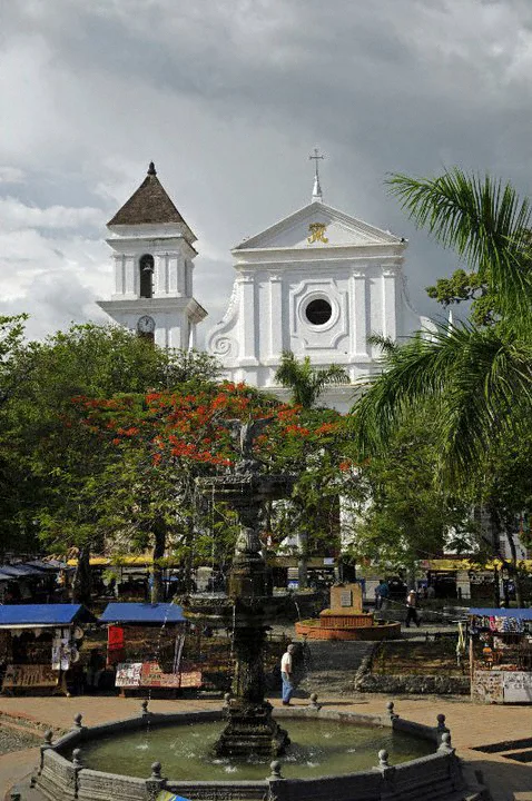
Sights in the town Machín Volcano (5)
Sights nearby
Frequently asked questions
Why is Vulkan Machín considered dangerous?
Where exactly is it located?
What does the crater look like?
Are there hot springs there?
Can you climb the volcano?
Machín Volcano: where is it located?
Machín Volcano: what is there to see?
Machín Volcano: when is the best time to visit?
Machín Volcano: why is it worth visiting?

Nearby cities

History & landmarks
More places