Plizio Visual Lab
Santurbán Páramo
Weather…
Water temperature…
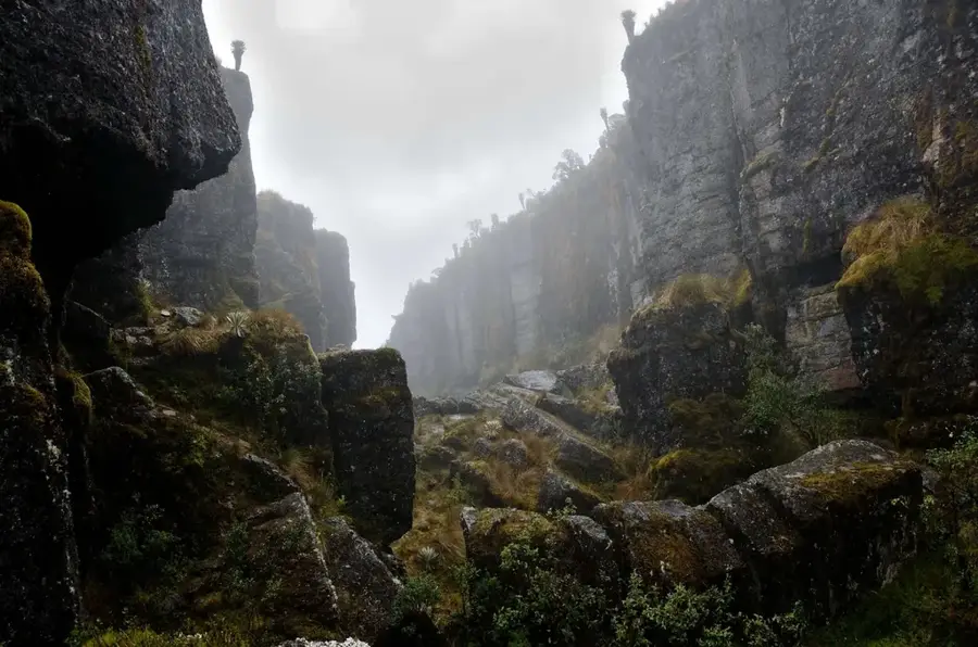
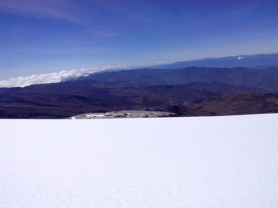
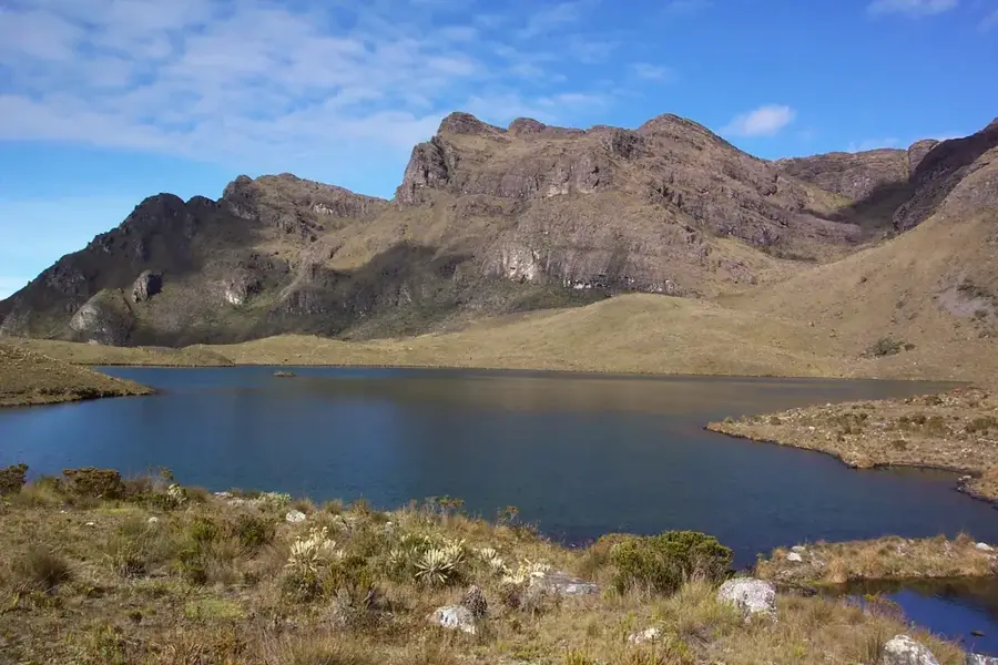
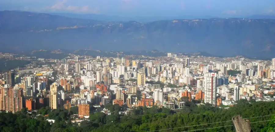
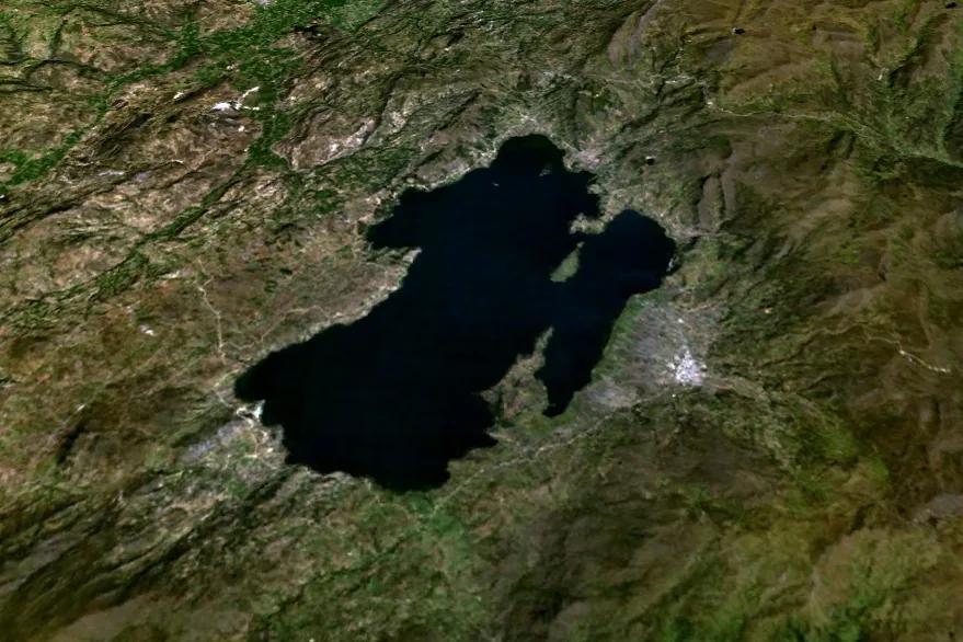
The Páramo de Santurbán is a strategically important ecosystem in the Santander and Norte de Santander departments of northeastern Colombia. It covers an area of approximately 142,000 hectares and lies at altitudes between 2,800 and 4,290 meters. Santurbán is known as the 'water factory' of the region, as it ensures the water supply for more than two million people, including the Bucaramanga metropolitan area. The landscape is characterized by high biological diversity with numerous endemic plant species and over 40 glacial lakes. In recent decades, Santurbán has been at the center of intense debates regarding gold mining, with environmentalists and local communities fighting against large-scale mining projects to protect water sources. The government subsequently established stricter protection measures and boundaries for the páramo. Despite this protection, Santurbán remains a sensitive area threatened by climate change and agricultural expansion in its peripheral zones.
- Location: Colombia
- Top sights: Mirador Lagunas Negras · Boqueron De La Garganta · Camino verde
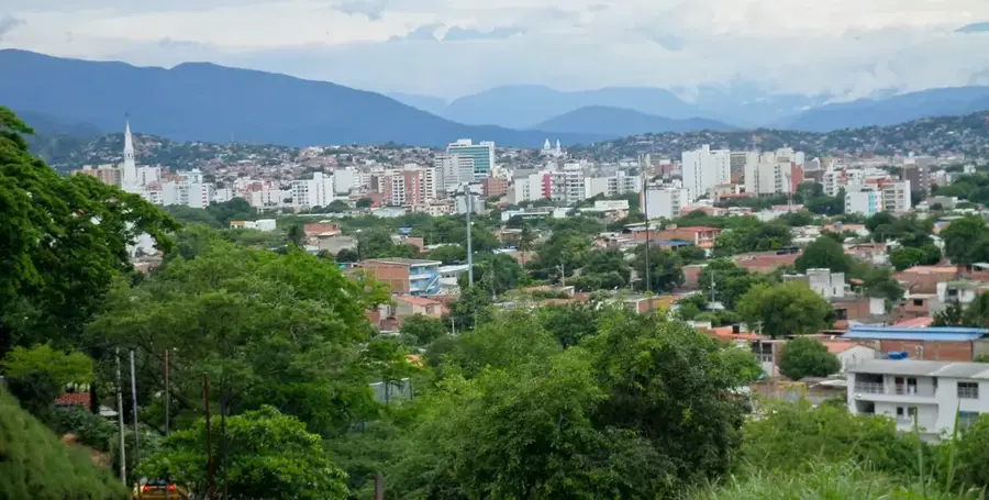
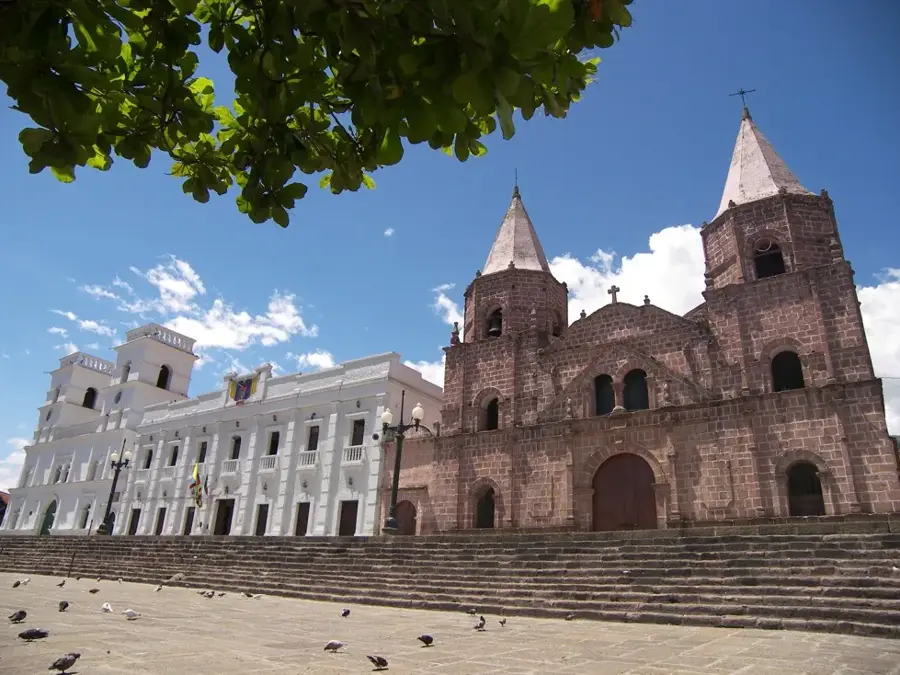
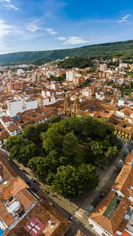
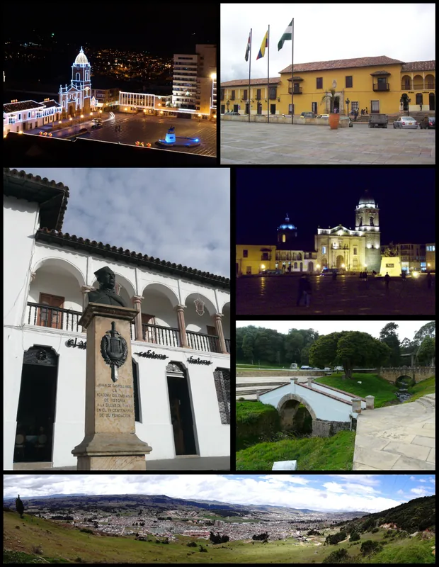
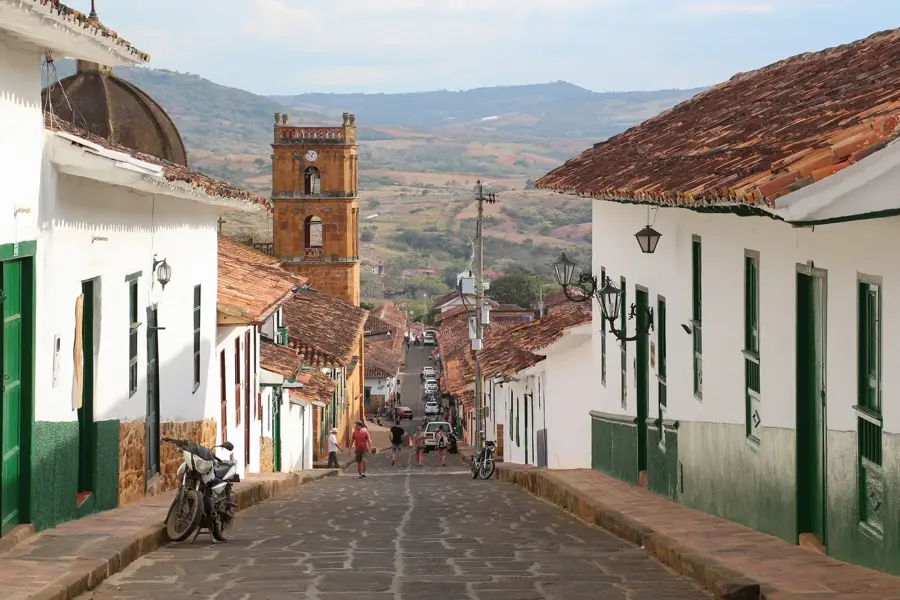
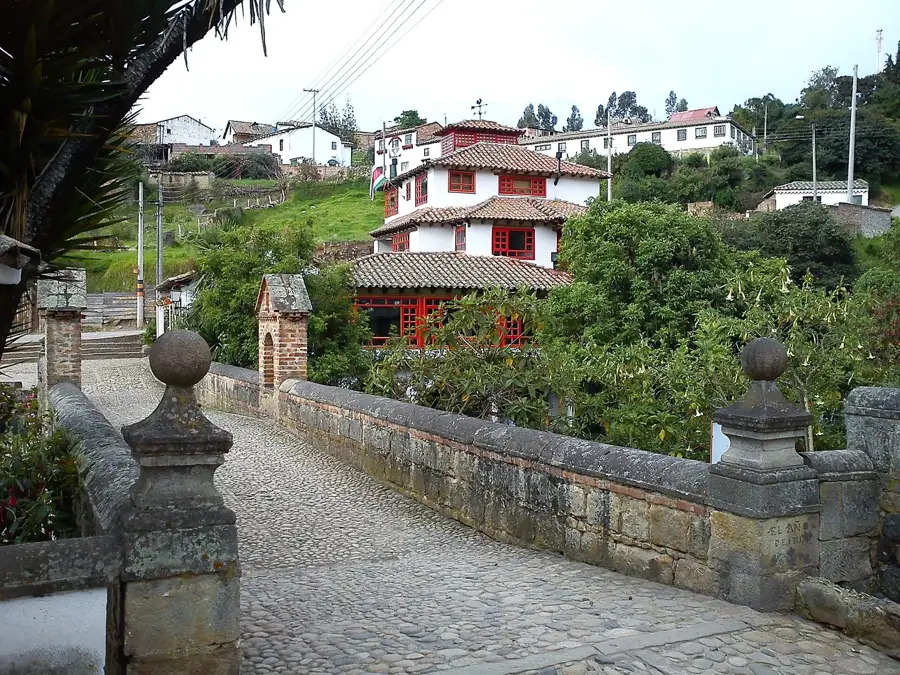
- Nearby: Piedecuesta (18 km)
Best time to visit & climate
The most pleasant time to visit is Jan, Feb, Dec.
| Jan | Feb | Mar | Apr | May | Jun | Jul | Aug | Sep | Oct | Nov | Dec | |
|---|---|---|---|---|---|---|---|---|---|---|---|---|
| Avg °C | 20 | 21 | 21 | 20 | 20 | 20 | 20 | 21 | 20 | 20 | 19 | 20 |
| Rain mm | 44 | 54 | 110 | 126 | 145 | 97 | 97 | 105 | 100 | 161 | 137 | 72 |
📋 Practical info
Geography
Facts
- The core zone of the Páramo de Santurbán covers about 142,000 hectares.
- The highest point reaches an elevation of 4,290 meters above sea level.
- The region hosts 293 registered plant and 457 animal species.
- Bucaramanga receives nearly 100% of its drinking water from this system.
- There are over 40 natural lagoons within the complex.
- The area was officially redelimited by the Ministry of Environment in 2014.
Explore nearby
Notable places around
Route planner — Car & Motorhome
Where do you start? We build the route here, with stops and country notes along the way.
© OpenStreetMap contributors · OpenRouteService
Sights in the town Santurbán Páramo (8)
Sights nearby
Frequently asked questions
Where is Páramo de Santurbán located?
Why are there debates about this area?
Are there lagoons there?
When is the best time to visit?
What clothing is recommended?
Santurbán Páramo: where is it located?
Santurbán Páramo: what is there to see?
Santurbán Páramo: when is the best time to visit?
Santurbán Páramo: why is it worth visiting?

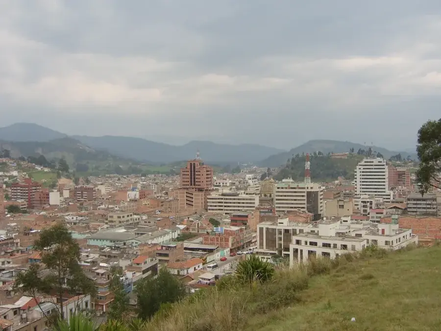
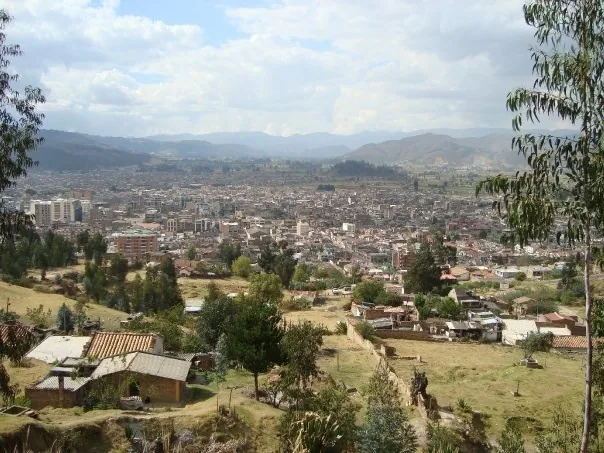
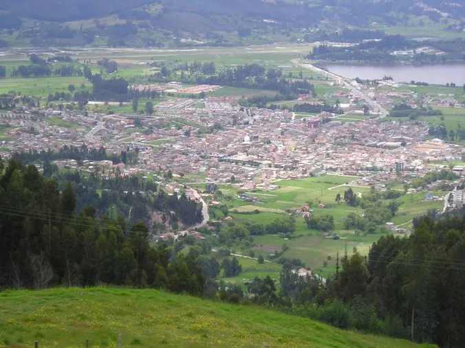
Nearby cities
History & landmarks
Nature
More places