Plizio Visual Lab
Facatativá Archaeological Park

The Facatativá Archaeological Park, also known as Piedras del Tunjo, is located at the western edge of the Bogotá savanna. The area spans 27 hectares and houses impressive sandstone rock formations created millions of years ago through geological processes. Historically, the park is of inestimable value as it contains over 60 sites with prehistoric rock paintings (pictographs) attributed to the Muisca Indians and earlier cultures. These drawings were made using pigments from ochre and plant extracts, often depicting animals, humans, or abstract symbols. The park likely served as a sacred site for religious ceremonies and astronomical observations. Despite decades of erosion and human impact, many paintings are still visible today. The site was officially declared a park in 1946 to protect the region's cultural heritage.
- Location: Colombia
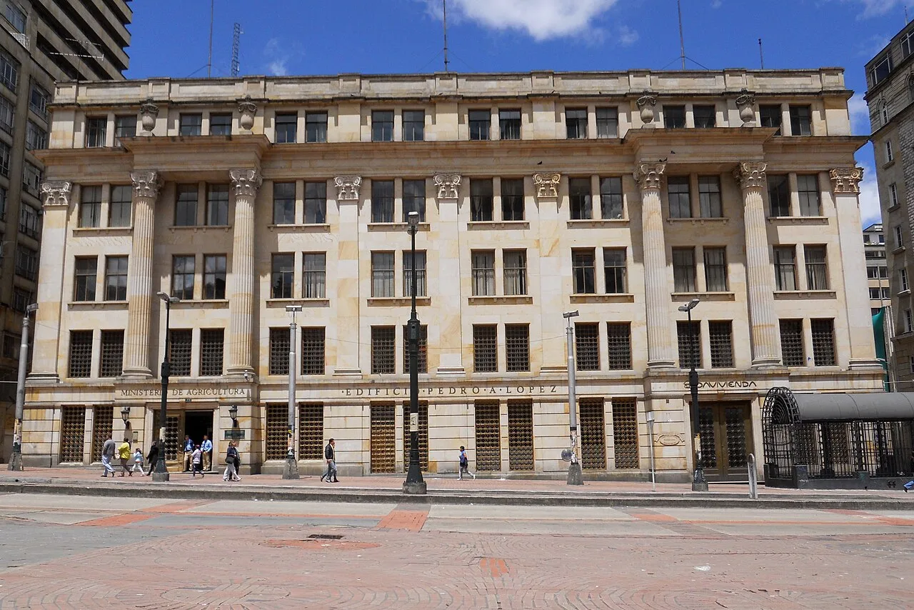
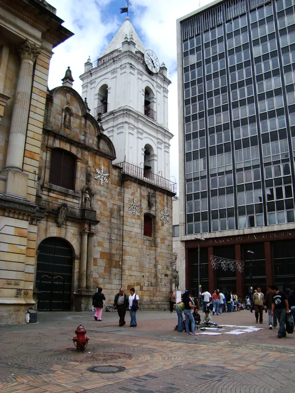
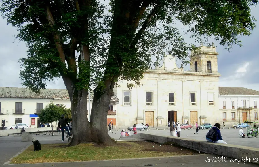
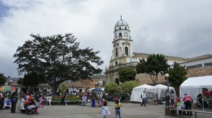
- Top sights: La Torre del Vigia- Betel · Iglesia San Jose Obrero · Salón del reino de los testigos de Jehová
- Nearby: Soacha (17 km)
Best time to visit & climate
The most pleasant time to visit is Jan, Feb, Sep.
| Jan | Feb | Mar | Apr | May | Jun | Jul | Aug | Sep | Oct | Nov | Dec | |
|---|---|---|---|---|---|---|---|---|---|---|---|---|
| Avg °C | 21 | 21 | 21 | 21 | 21 | 20 | 21 | 21 | 21 | 20 | 20 | 20 |
| Rain mm | 45 | 69 | 117 | 183 | 173 | 132 | 108 | 92 | 93 | 165 | 147 | 90 |
📋 Practical info
Geography
Facts
- The rock paintings are estimated to be between 1,000 and 12,000 years old.
- The park is located at an average altitude of 2,600 meters.
- Over 1,000 individual pictographs have been registered throughout the area.
- The red color of the paintings comes mainly from iron oxides.
- During the colonial era, the site was used as a quarry for buildings in Bogotá.
- The rock formations consist of quartz sandstone from the Guadalupe Group.
Explore nearby
Notable places around
Route planner — Car & Motorhome
Where do you start? We build the route here, with stops and country notes along the way.
© OpenStreetMap contributors · OpenRouteService
Sights in the town Facatativá Archaeological Park (7)
Sights nearby
Frequently asked questions
What can you see in the park?
How far is Facatativá from Bogotá?
Is picnicking allowed in the park?
Is access to the rock paintings protected?
Are there entrance fees?
Facatativá Archaeological Park: where is it located?
Facatativá Archaeological Park: what is there to see?
Facatativá Archaeological Park: when is the best time to visit?
Facatativá Archaeological Park: why is it worth visiting?

Nearby cities
History & landmarks
Nature
More places