Plizio Visual Lab
Tayrona
ℹ️Practical info — Tayrona
▾
🌤 Weather — 5 days
📍 Nearby
Sights nearby
Water temperature…
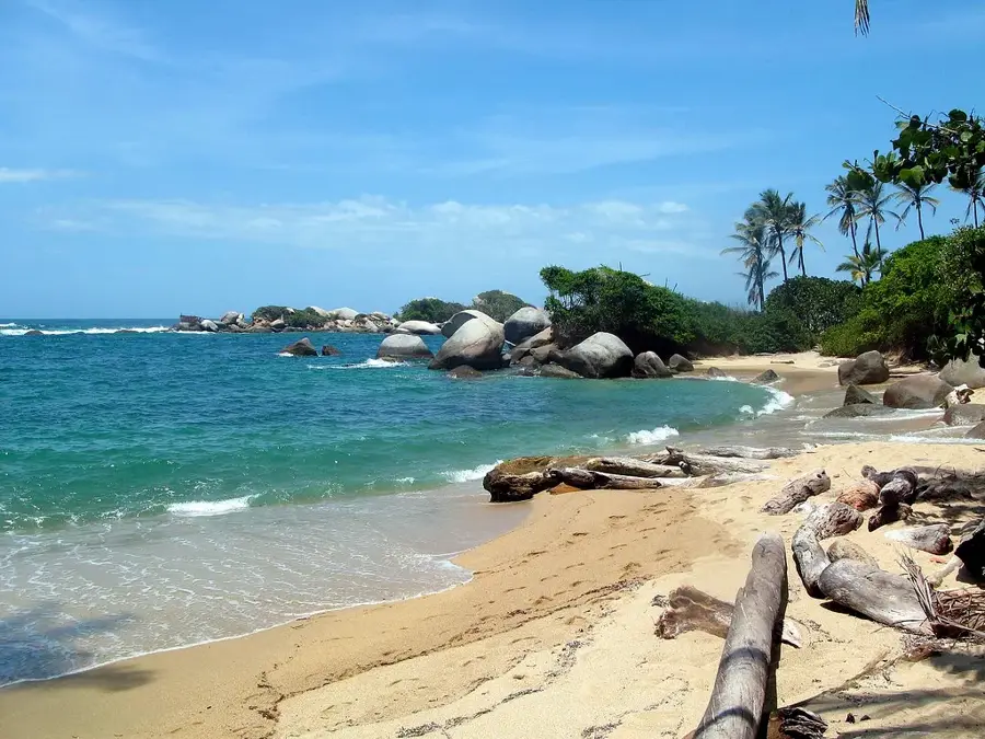
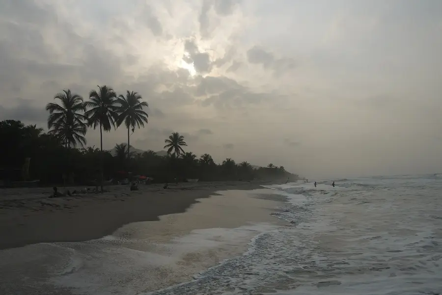
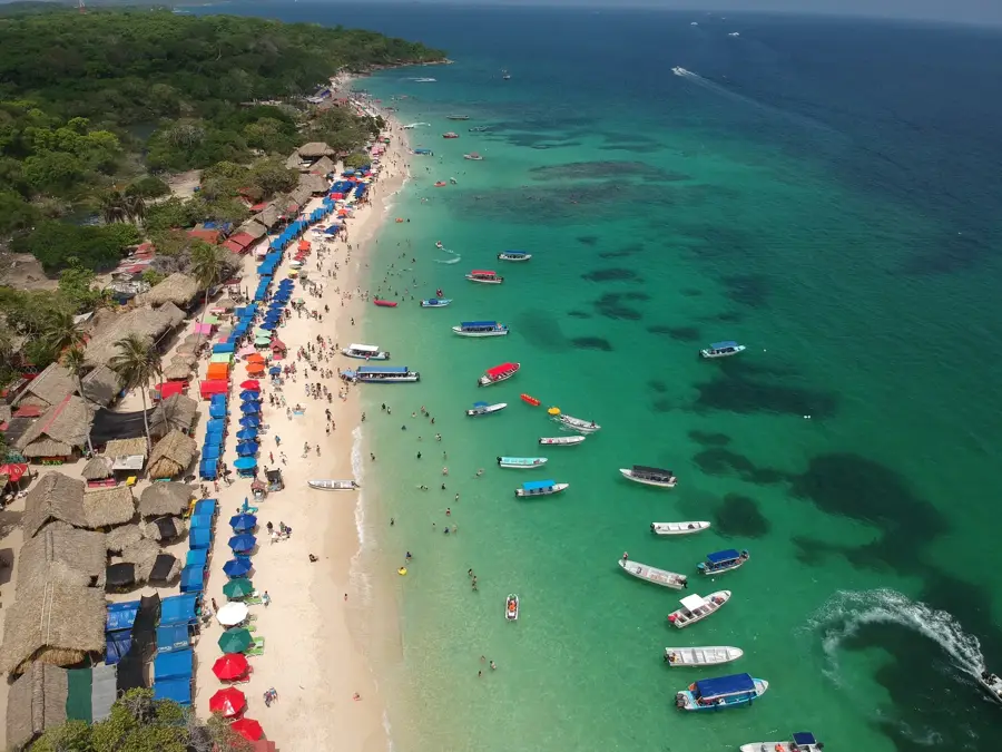
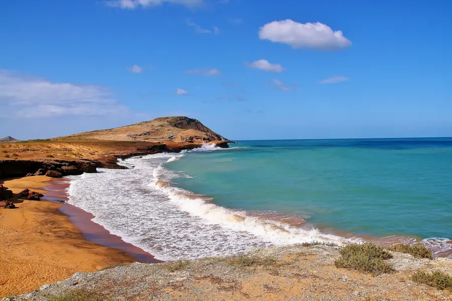
Tayrona National Park in the Magdalena department is one of the most famous and panoramic natural parks in South America. Where the foothills of the highest coastal mountain range in the world, the Sierra Nevada de Santa Marta, meet the Caribbean Sea, dramatic bays with golden sand, massive granite rocks, and crystal-clear water are formed. Visitors hike through dense rainforest to reach iconic beaches like Cabo San Juan, La Piscina, and Arrecifes, and often spend the night in hammocks right on the beach. The biodiversity in the park is gigantic. While hiking, you can spot howler monkeys, toucans, iguanas, and sometimes even jaguars in their natural habitat. Besides beaches, Tayrona also gives archaeological sites like Pueblito, the ancient ruins of the indigenous Tayrona culture. Culinarily, fresh seafood, fried fish with coconut rice, and patacones dominate, often prepared by locals in small huts on the beach. The main entrance, El Zaino, is about an hour's drive from the city of Santa Marta. The best time to travel is during the dry months from December to March. Keep in mind, however, that the park usually closes for a few weeks in February (and sometimes at other times) to allow the region's indigenous peoples to perform spiritual cleansing rituals and for nature to recover. Early planning is therefore essential.
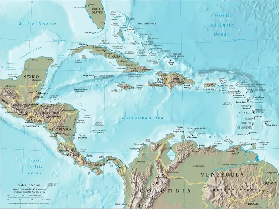
- Location: Colombia
- Top sights: Punta El Vigia · Bahia Concha · Playa Bonito Gordo
- Nearby: Minca (7 km)
Best time to visit & climate
The most pleasant time to visit is Jan–Mar.
| Jan | Feb | Mar | Apr | May | Jun | Jul | Aug | Sep | Oct | Nov | Dec | |
|---|---|---|---|---|---|---|---|---|---|---|---|---|
| Avg °C | 25 | 25 | 25 | 26 | 27 | 27 | 27 | 27 | 27 | 27 | 27 | 26 |
| Rain mm | 4 | 3 | 12 | 39 | 160 | 115 | 76 | 119 | 173 | 260 | 143 | 43 |
Geography
Facts
- Tayrona protects over 150 square kilometers of land and marine area.
- Swimming is prohibited at many beaches due to dangerous rip currents.
- Cabo San Juan beach features a distinctive viewpoint hut perched on a rock.
- Four different indigenous groups live in the park: Kogui, Wiwa, Arhuaco, and Kankuamo.
- There are no paved roads inside the park, only hiking trails and horses.
- The biodiversity includes hundreds of species of birds and mammals.
- You can also reach the park by boat from the fishing village of Taganga.
- The park is a hotspot for ecotourism and bird watching.
Explore nearby
Notable places around
Route planner — Car & Motorhome
Where do you start? We build the route here, with stops and country notes along the way.
© OpenStreetMap contributors · OpenRouteService
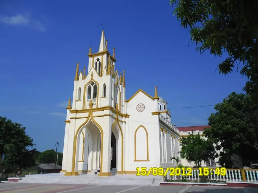
Sights in the town Tayrona (4)
Frequently asked questions
Tayrona: where is it located?
Tayrona: what is there to see?
Tayrona: when is the best time to visit?
Tayrona: why is it worth visiting?

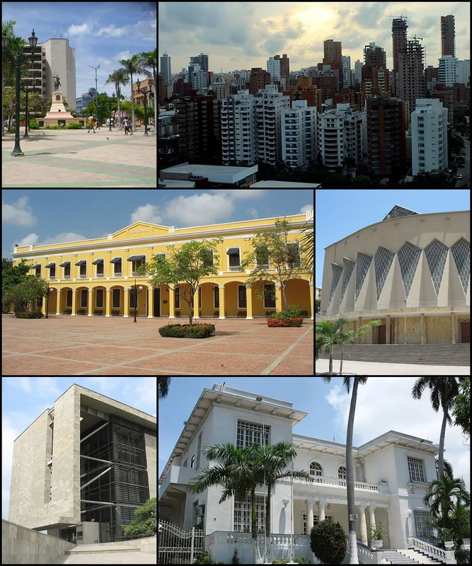
Nearby cities


History & landmarks


More places