Plizio Visual Lab
Port of Santa Marta

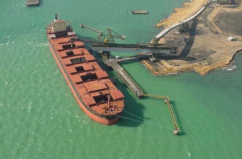
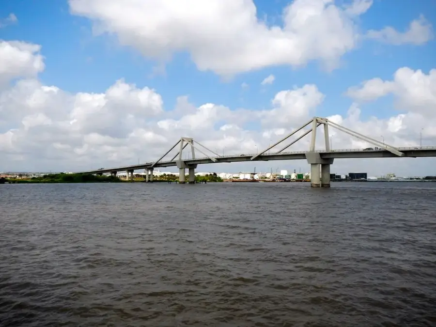
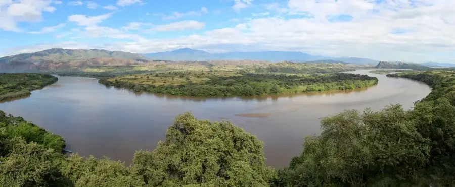
The Port of Santa Marta is renowned as Colombia's deepest natural harbor on the Caribbean Sea, a feature that provides it with a significant competitive advantage. Because it requires no constant dredging, deep-draft vessels can dock easily at its berths. Developed in the oldest European-founded city in Colombia (1525), the port has evolved into an ultra-modern terminal specializing in the export of coal, bananas, and palm oil. The facility is managed by the Sociedad Portuaria de Santa Marta, which emphasizes environmental sustainability, particularly through the use of direct-ship loading systems for coal to minimize dust. In addition to raw materials, the port handles increasing volumes of containerized goods and imported vehicles for the national market. Its location at the foot of the Sierra Nevada de Santa Marta mountains provides a naturally sheltered environment against strong sea currents and winds. The port is a primary employer in the region and a pillar of the economic stability for the Magdalena Department. Its high efficiency makes it a preferred gateway for agricultural exports bound for European and North American markets.
- Location: Colombia
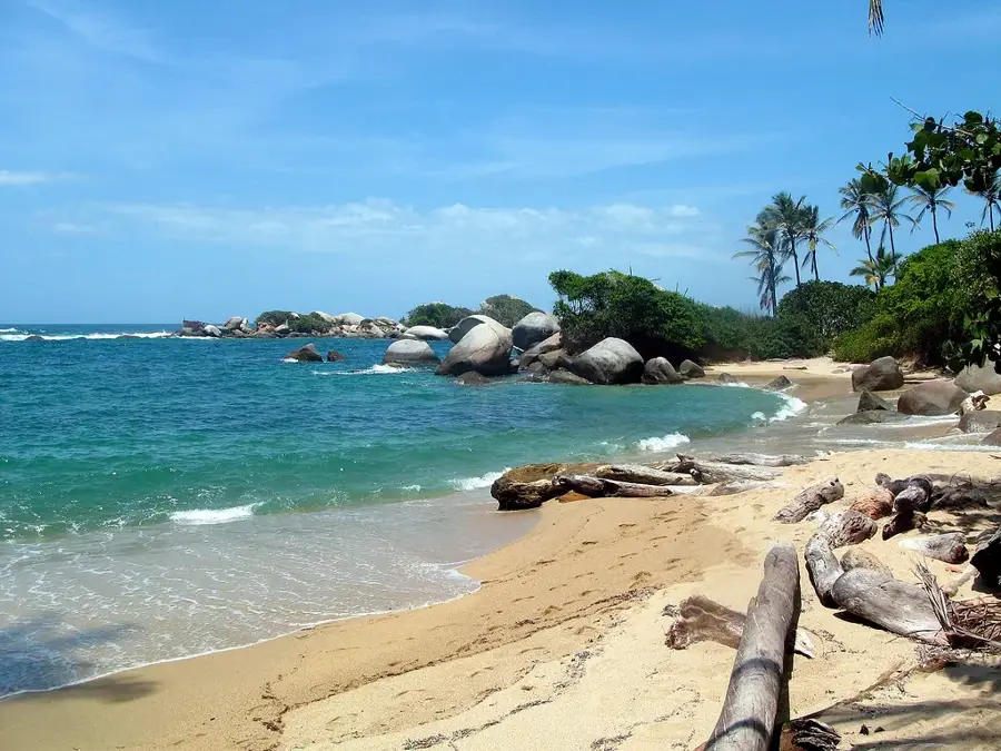
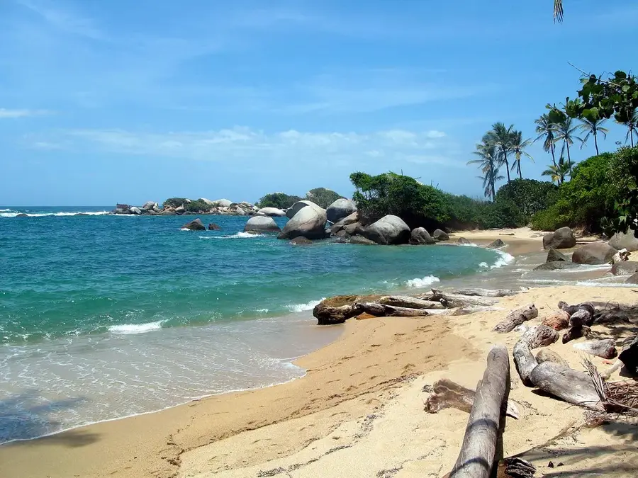
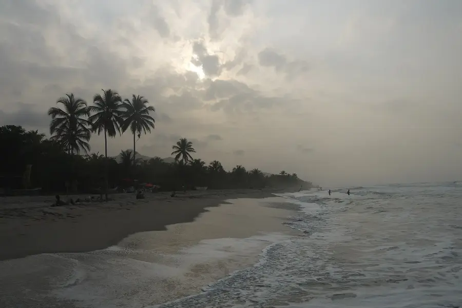
- Top sights: Punta Grande · Casa de la Aduana · Caribe colombiano diving
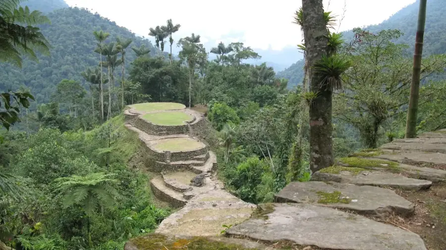
- Nearby: Tayrona (6 km)
Best time to visit & climate
The most pleasant time to visit is Jan, Feb, Dec.
| Jan | Feb | Mar | Apr | May | Jun | Jul | Aug | Sep | Oct | Nov | Dec | |
|---|---|---|---|---|---|---|---|---|---|---|---|---|
| Avg °C | 21 | 22 | 22 | 23 | 23 | 23 | 23 | 23 | 22 | 22 | 21 | 21 |
| Rain mm | 3 | 3 | 11 | 34 | 109 | 78 | 63 | 84 | 110 | 170 | 97 | 29 |
📋 Practical info
Geography
Facts
- Deepest natural port in Colombia, reaching depths of 60 feet.
- Established in 1525, coinciding with the city's founding.
- Key port for the international export of bananas and coal.
- Features a direct-to-ship enclosed conveyor system for coal.
- Only port on the Caribbean coast with an active rail link.
- Managed by the Sociedad Portuaria de Santa Marta corporation.
Explore nearby
Notable places around
Route planner — Car & Motorhome
Where do you start? We build the route here, with stops and country notes along the way.
© OpenStreetMap contributors · OpenRouteService
Sights in the town Port of Santa Marta (6)
Sights nearby
Frequently asked questions
Why is the Port of Santa Marta important?
Can you see the loading operations?
What products are primarily loaded here?
Is the port environmentally friendly?
What can you do in the area?
Port of Santa Marta: where is it located?
Port of Santa Marta: what is there to see?
Port of Santa Marta: when is the best time to visit?
Port of Santa Marta: why is it worth visiting?

Nearby cities


History & landmarks
Nature
More places