Plizio Visual Lab
Caribbean Sea (Colombia)
Weather…
Water temperature…
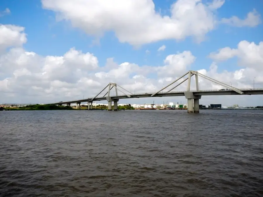
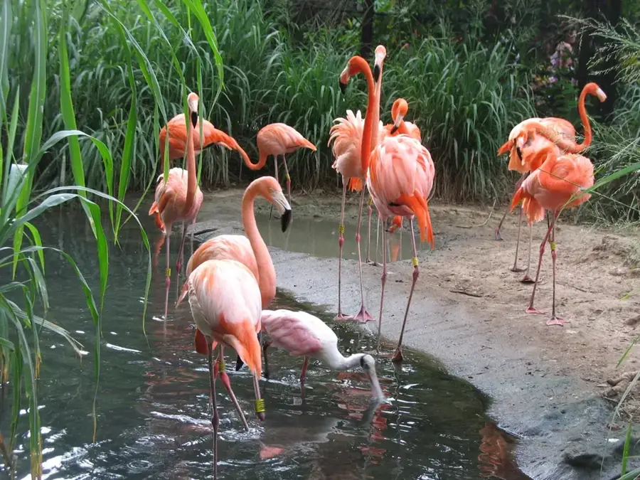
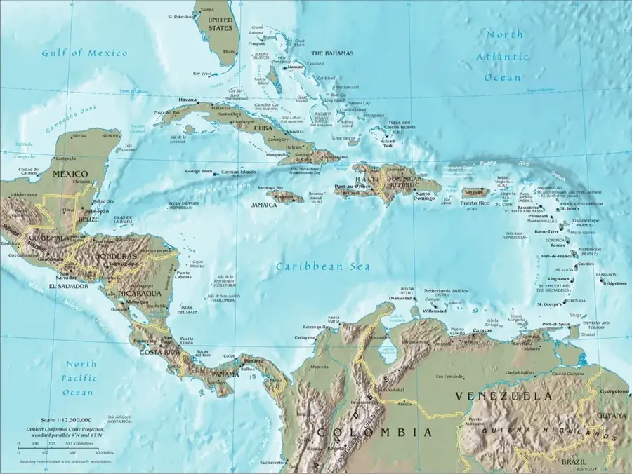
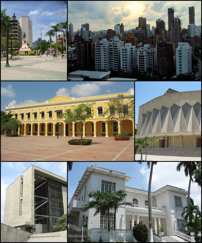
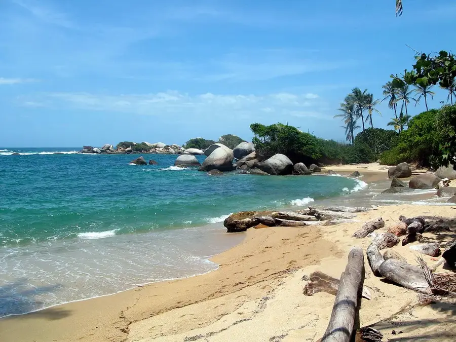
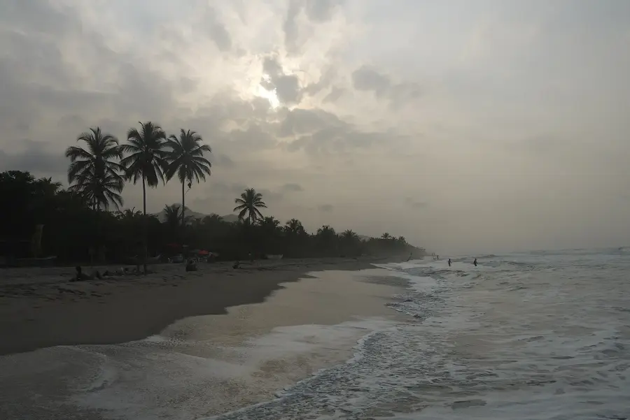
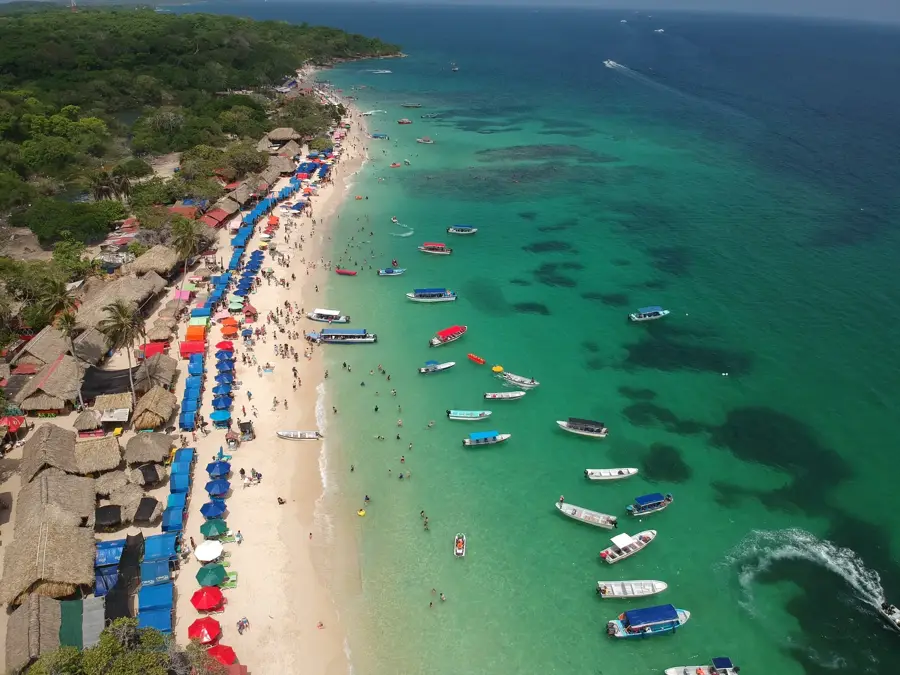
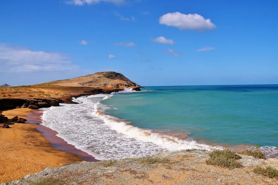
The Caribbean Sea borders the northern coast of Colombia, stretching for approximately 1,600 kilometers from the Gulf of Urabá in the west to the Guajira Peninsula in the east. This maritime region is characterized by its tropical climate, coral reef ecosystems, and significant historical importance as a primary gateway for Spanish colonization and trade during the colonial era. Major port cities such as Cartagena, Barranquilla, and Santa Marta serve as vital economic hubs, facilitating international commerce and tourism. The sea encompasses the San Andrés and Providencia archipelago, which is part of the Seaflower Biosphere Reserve, one of the largest marine protected areas in the world. Its waters are home to a diverse array of marine life, including over 600 species of fish and extensive seagrass beds that provide critical habitats. Historically, the Caribbean coast was the site of the first Spanish settlements in South America, and it remains a culturally rich area where African, Indigenous, and European influences converge. The region's geography varies from the desert landscapes of La Guajira to the lush mangroves and tropical forests found near the Magdalena River delta.
- Location: Colombia
- Nearby: Malambo (35 km)
Best time to visit & climate
The most pleasant time to visit is Jan–Mar.
| Jan | Feb | Mar | Apr | May | Jun | Jul | Aug | Sep | Oct | Nov | Dec | |
|---|---|---|---|---|---|---|---|---|---|---|---|---|
| Avg °C | 26 | 26 | 26 | 27 | 27 | 28 | 28 | 28 | 28 | 28 | 28 | 27 |
| Rain mm | 3 | 1 | 8 | 36 | 168 | 127 | 94 | 138 | 195 | 273 | 154 | 43 |
📋 Practical info
Geography
Facts
- Coastline length of approx. 1,600 km
- Part of the Seaflower Biosphere Reserve
- Home to over 600 species of fish
- Main ports: Cartagena and Barranquilla
- Average water temperature of 27°C
- Borders the La Guajira Peninsula
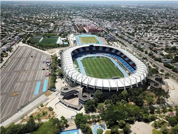
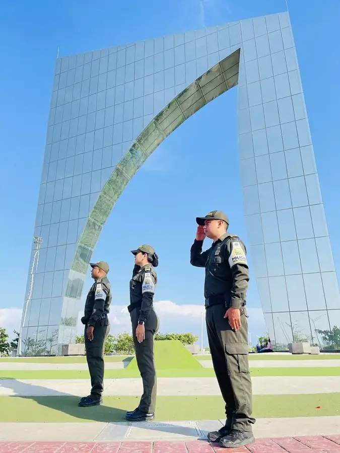
Explore nearby
Notable places around
Route planner — Car & Motorhome
Where do you start? We build the route here, with stops and country notes along the way.
© OpenStreetMap contributors · OpenRouteService
Sights nearby
Frequently asked questions
How warm is the water?
What are the 'Rosario Islands'?
Are there hurricanes?
Which cities are on the Caribbean coast?
Can you see dolphins?
Caribbean Sea (Colombia): where is it located?
Caribbean Sea (Colombia): when is the best time to visit?
Caribbean Sea (Colombia): why is it worth visiting?

Nearby cities
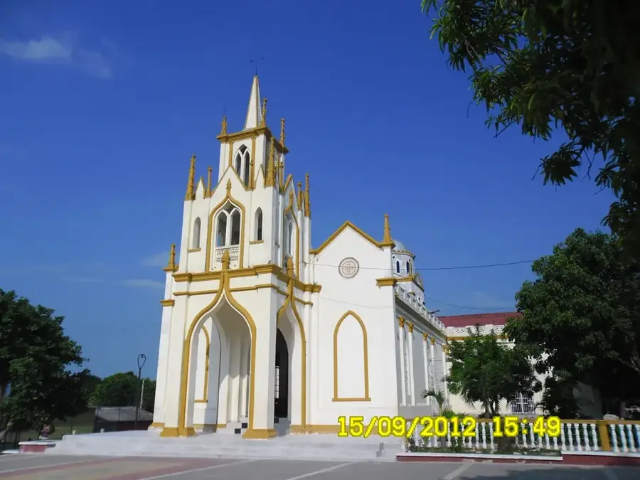

History & landmarks