Plizio Visual Lab
Tayrona National Natural Park

Weather…
Water temperature…
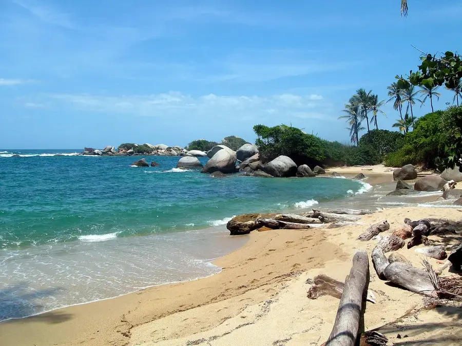
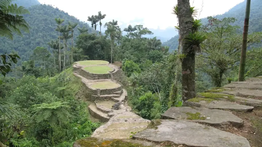
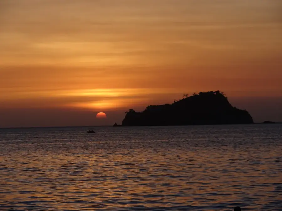
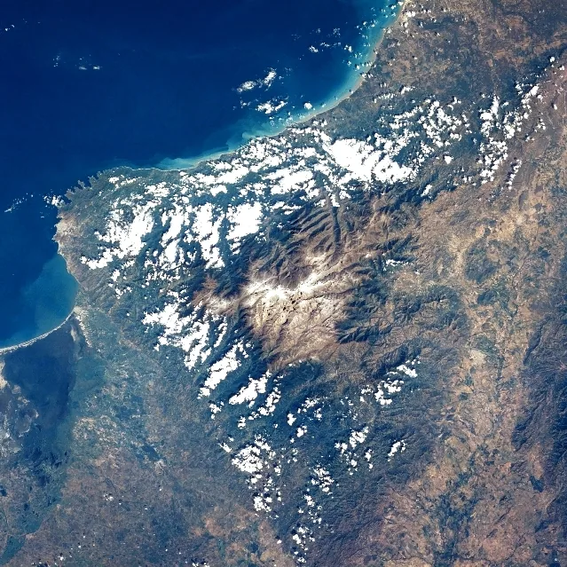
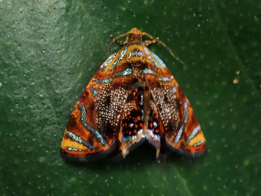
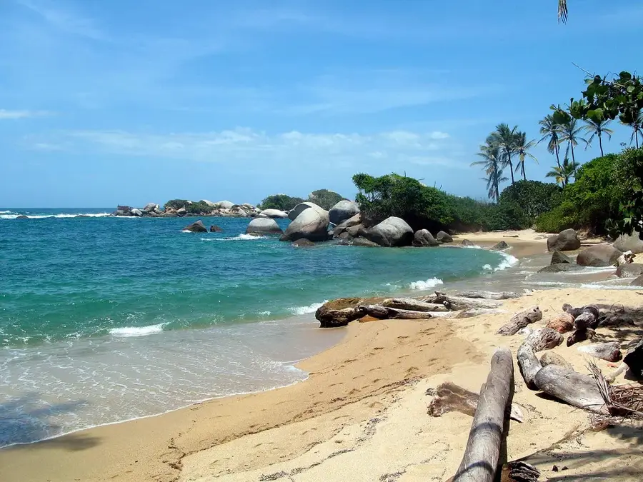
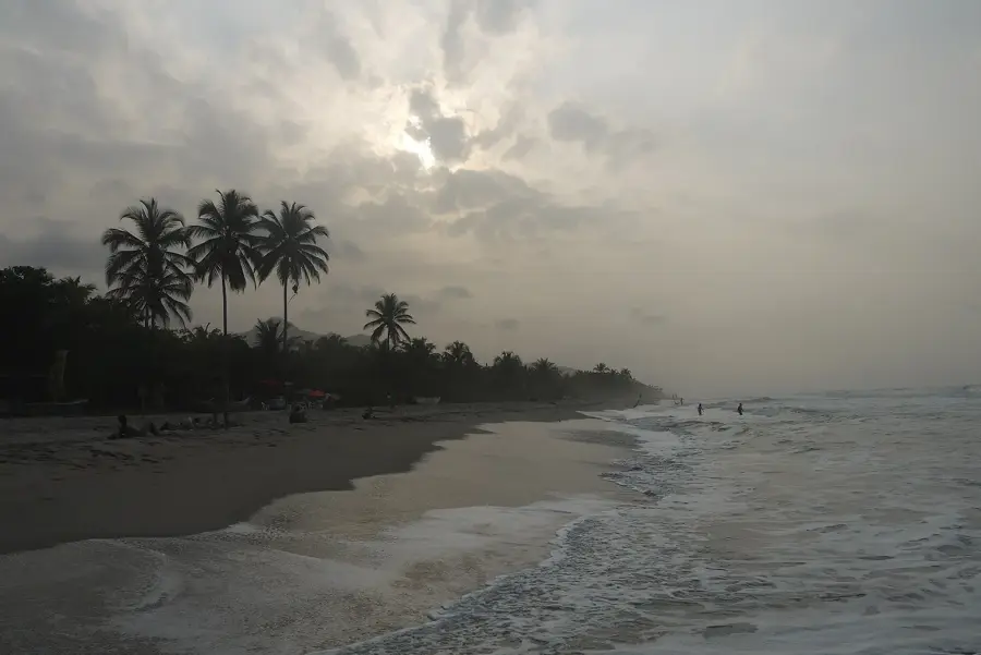
Tayrona National Natural Park is located on the Caribbean coast of Colombia, at the foothills of the Sierra Nevada de Santa Marta, about 34 kilometers from the city of Santa Marta. Established in 1964, the park covers 150 square kilometers, including a 30-square-kilometer marine area. It is globally famous for its remarkable bays, such as Cabo San Juan and Chengue, where lush tropical rainforest meets white-sand beaches and turquoise waters. Beyond its natural allure, Tayrona is an essential archaeological site, home to the ruins of Pueblito Chairama, an ancient settlement of the Tairona people who inhabited the region long before the Spanish conquest. The park's biodiversity is immense, hosting over 300 species of birds and rare mammals like the cotton-top tamarin. For the indigenous Kogi, Wiwa, and Arhuaco people, the land remains sacred, and the park is periodically closed to the public for spiritual cleansing rituals. Hiking through Tayrona allows visitors to experience diverse ecosystems, ranging from dry tropical forests to animated coral reefs.
- Location: Colombia
- Top sights: La cima · Piedra de Donama · Playa Palmarito
- Nearby: Minca (17 km)
Best time to visit & climate
The most pleasant time to visit is Jan–Mar.
| Jan | Feb | Mar | Apr | May | Jun | Jul | Aug | Sep | Oct | Nov | Dec | |
|---|---|---|---|---|---|---|---|---|---|---|---|---|
| Avg °C | 25 | 25 | 25 | 26 | 27 | 27 | 27 | 27 | 27 | 27 | 27 | 26 |
| Rain mm | 4 | 3 | 12 | 39 | 160 | 115 | 76 | 119 | 173 | 260 | 143 | 43 |
📋 Practical info
Geography
Facts
- Established in 1964 to protect the Caribbean coastline.
- Covers 150 sq km, including 30 sq km of marine territory.
- Contains the ancient Tairona ruins of Pueblito Chairama.
- Home to more than 300 documented species of birds.
- A critical habitat for the endangered cotton-top tamarin.
- Located at the foot of the Sierra Nevada de Santa Marta.
Explore nearby
Notable places around
Route planner — Car & Motorhome
Where do you start? We build the route here, with stops and country notes along the way.
© OpenStreetMap contributors · OpenRouteService
Sights in the town Tayrona National Natural Park (5)
Sights nearby
Frequently asked questions
Is swimming allowed in the sea?
Where can you stay overnight?
Is the park closed in February?
What is Cabo San Juan?
Do you have to hike to reach the beaches?
Tayrona National Natural Park: where is it located?
Tayrona National Natural Park: what is there to see?
Tayrona National Natural Park: when is the best time to visit?
Tayrona National Natural Park: why is it worth visiting?

Nearby cities

Nature
More places