Plizio Visual Lab
Chañaral
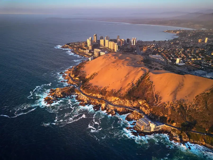
Chañaral is located in the Atacama Desert along Route 5 North. Founded in 1833, the town developed rapidly through copper mining and maritime trade. The historic lighthouse stands as a reminder of its prominent past as an essential shipping port for regional minerals. Today, visitors use the settlement as the primary staging point for the Pan de Azúcar National Park, located just 30 kilometers to the north. The park's offshore island hosts a significant population of Humboldt penguins, marine otters, and various seabird species among the coastal cacti. The local desert climate provides extremely dry conditions throughout the year. The lack of significant rainfall makes the period from October to April the optimal visiting window. Local buses connect the town with Copiapó and Antofagasta.
- Location: Chile
- Top sights: Chañaral · Mirador Lobera · Faro Monumental de Chañaral
- Nearby: Caldera (34 km)
Geography
Facts
- Located in Atacama Region
- Gateway to Pan de Azúcar
- Founded in 1833
- Copper mining history
- Dry desert climate
- Located on Route 5 North
- Humboldt penguins nearby
- Historic lighthouse
Explore nearby
Notable places around
Route planner — Car & Motorhome
Where do you start? We build the route here, with stops and country notes along the way.
© OpenStreetMap contributors · OpenRouteService
Sights in the town Chañaral (8)
Frequently asked questions
Chañaral: where is it located?
Chañaral: what is there to see?
Chañaral: why is it worth visiting?

Nearby cities